Hakkoda Volcano
Updated: Jul 13, 2025 07:51 GMT -
stratovolcanoes
Honshu (Japan), 40.66°N / 140.88°E 
Summit height: 1585 m / 5,200 ft
Current status: normal or dormant (1 out of 5)
Hakkoda (or Hakkodasan) volcano is a group of 14 stratovolcanoes and lava domes south of Mutsu Bay at the northern end of Honshu Island, Japan.
There are fumaroles and hot springs at Ido-dake and several other locations. 3 minor phreatic eruptions were documented from Jigoku-numa on the SW flank of Odake volcano from the 13th-17th centuries.
[smaller] [larger]
Hakkoda volcano eruptions: 1550 ± 100 years, 1340 ± 75, 450 AD (?), 50 BC (?), 1150 BC (?), 2250 BC (?), 2850 BC (?)
Latest nearby earthquakes
Background
The cones of the Hakkoda group overly an older, 8 km wide caldera. The northern vents of the Hakkoda group located in the center of the caldera appear younger than the southern group, which buries the SE caldera wall on its SE wall.Craters with well preserved morphologies include Hakkoda-Odake, Ido-dake, Tsurugi-dake, which has a 1 km wide explosion crater open to the north.
Significant volcanic eruptions: Hakkoda volcano
No historic eruptions are known from Hakkoda volcano, but evidence from at least 7 eruptions during the past 10,000 years can be found in the geological record.
The table below lists all known eruptions (date in bold face) of Hakkoda volcano in historic times and during the past 10,000 years. Updates on the most recent volcanic activity of Hakkoda can be found on the news page of Hakkoda volcano.
| Date | Note | VEI | Deaths | Damage | |
|---|---|---|---|---|---|
| 1997 Jul 12 (eruptive episode | 0 | 3 | Info | ||
| SW flank of O-dake (Jigoku-numa) | 1 | ||||
| SW flank of O-dake (Jigoku-numa) | 1 | ||||
| O-dake | 1 | ||||
| O-dake | 1 | ||||
| O-dake | 1 | ||||
| O-dake | 3 | ||||
| O-dake | 2 | ||||
Remark:
Our list of volcanic eruptions closely follows the database of eruptions of the Smithsonian's Global Volcanism Project (GVP), the internationally most recognized data source for volcanic eruptions, but also includes significant eruptive episodes or related volcano events. "Volcanic eruptions" are usually to be understood as sequences of individual eruptive episodes that can follow each other, or even overlap (if several vents are involved), and can last many years, decades or even longer. For example, the current activity of Stromboli volcano is understood as a single eruption that has been ongoing since 1934.
Sources: NOAA National Centers for Environmental Information (NCEI), Global Significant Volcanic Eruptions Database. doi:10.7289/V5TD9V7K | Global Volcanism Project / Smithsonian Institution
Eruptions of Hakkoda volcano
1997 fatalities
3 soldiers were killed by CO2 on 12 July 1997 on a training mission at the N foot of Hakkoda volcano. They had entered a depression filled by lethal concentrations of volcanogenic CO2. "In the darkness, some members of the party slipped into a depression (18 m long, 11 m wide, and 8 m deep), as did those who first tried to rescue them. The men were hospitalized on the evening of 12 July, but three lost their lives."
(Smithsonian / GVP monthly reports)
Hakkoda Volcano FAQ
+When was the last eruption of Hakkoda volcano?
The last confirmed eruption of Hakkoda occurred around 1550 AD.
+When was the largest eruption of Hakkoda volcano?
The largest eruption known from the younger geological history of Hakkoda volcano occurred in 2250 BC. It only has a VEI (Volcanic Explosivity Index) of , likely because it was a mainly effusive eruption generating lava flows but very little ash.
Latest satellite images
Hakkoda Volcano Maps
Below is a selection of maps showing the location and surroundings of the volcano at various resolutions based on aerial-imagery / terrain maps. Feel free to use them for non-commercial purposes on your blog or website as long as you credit them with a link back to this page (click to copy it).
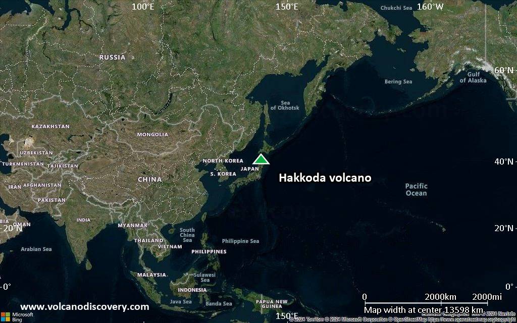
Satellite/aerial-type map of Hakkoda volcano (world scale)
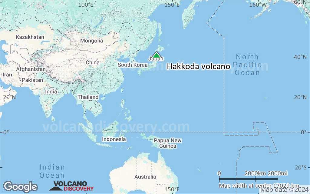
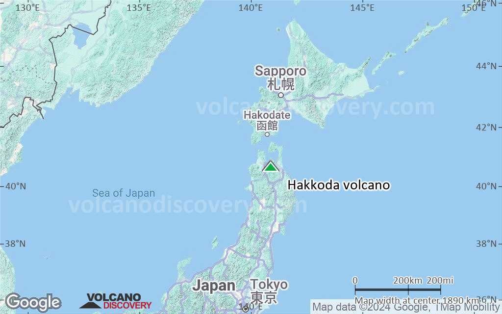
Terrain-type map of Hakkoda volcano (world scale)
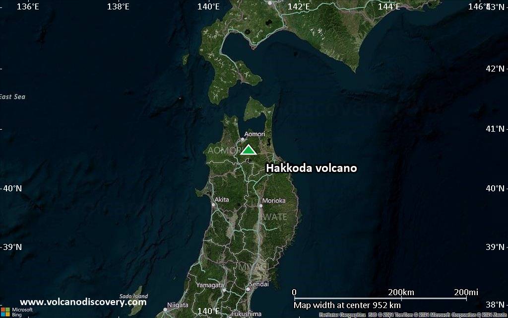
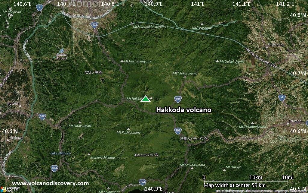
Satellite/aerial-type map of Hakkoda volcano (region scale large)
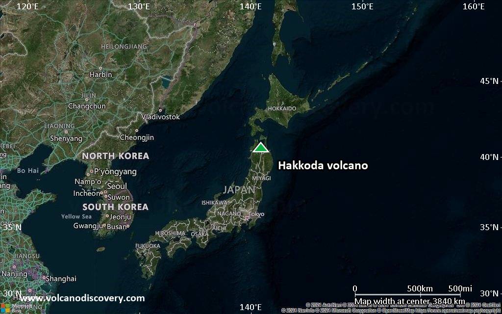
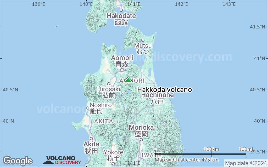
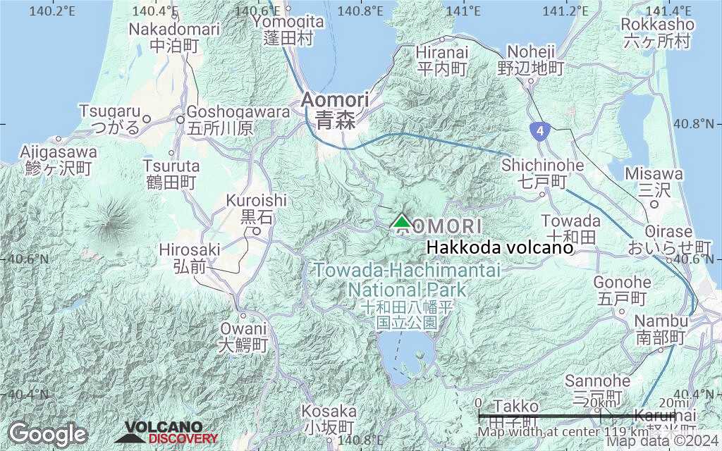
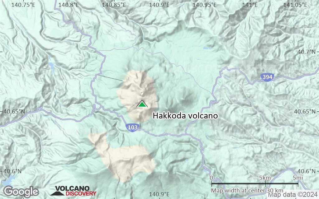
Terrain-type map of Hakkoda volcano (region scale large)
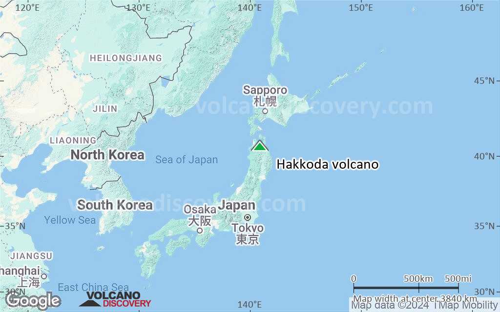
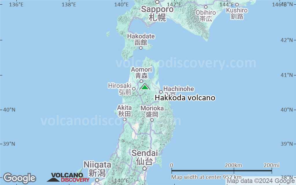
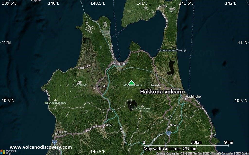
Satellite/aerial-type map of Hakkoda volcano (region scale medium)
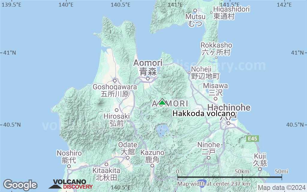
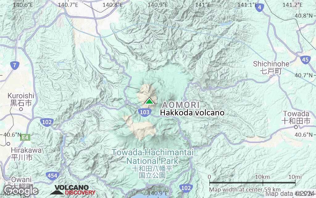
Terrain-type map of Hakkoda volcano (region scale medium)
Satellite/aerial-type map of Hakkoda volcano (region scale small)
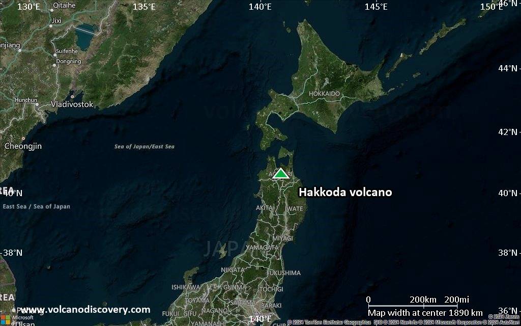
Terrain-type map of Hakkoda volcano (region scale small)
Satellite/aerial-type map of Hakkoda volcano (local scale large)
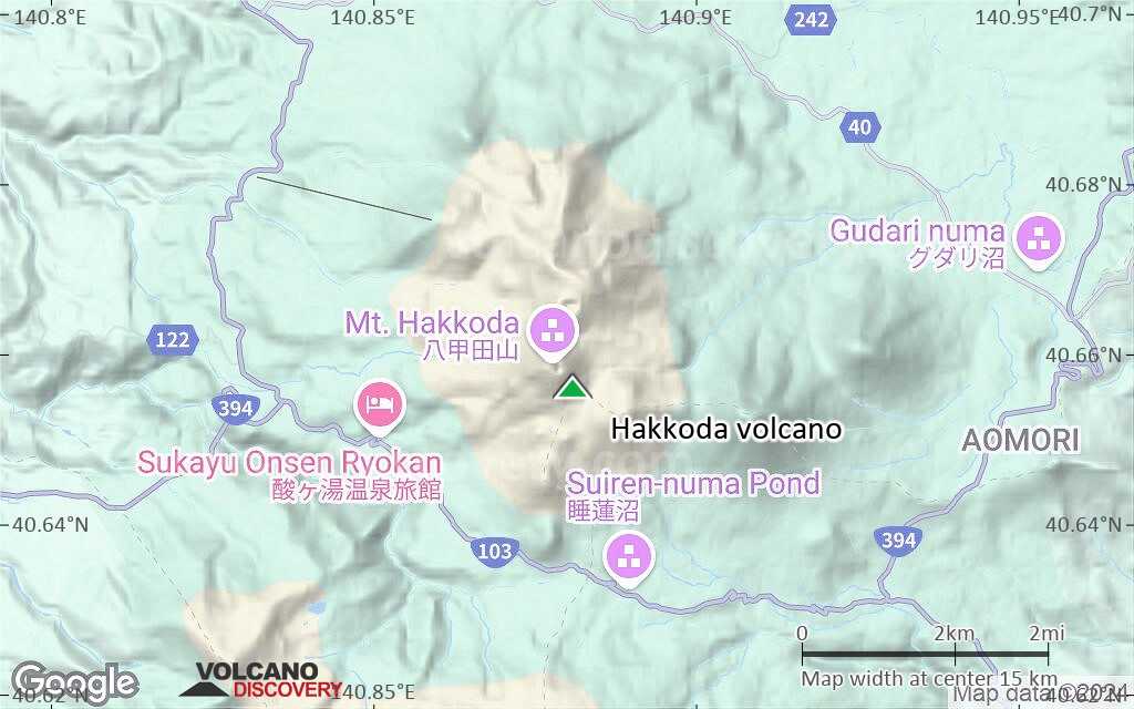
Terrain-type map of Hakkoda volcano (local scale large)
Satellite/aerial-type map of Hakkoda volcano (local scale medium)
Terrain-type map of Hakkoda volcano (local scale medium)
Satellite/aerial-type map of Hakkoda volcano (local scale small)
Terrain-type map of Hakkoda volcano (local scale small)
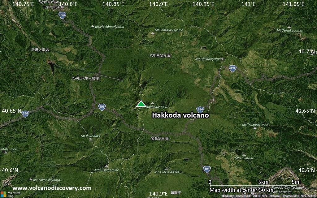
Satellite/aerial-type map of Hakkoda volcano (scale of 10s of km)
Terrain-type map of Hakkoda volcano (scale of 10s of km)
Satellite/aerial-type map of Hakkoda volcano (scale of 20-40 km)
Terrain-type map of Hakkoda volcano (scale of 20-40 km)

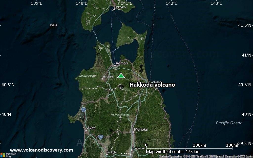
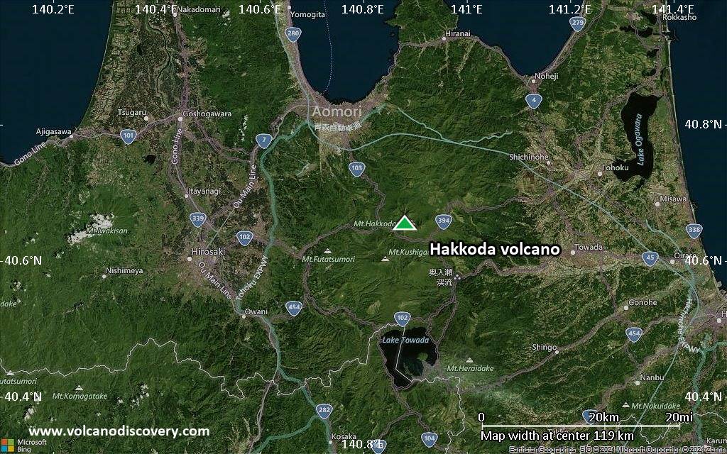
Satellite/aerial-type map of Hakkoda volcano (scale of approx. 10-20 km)
Terrain-type map of Hakkoda volcano (scale of approx. 10-20 km)
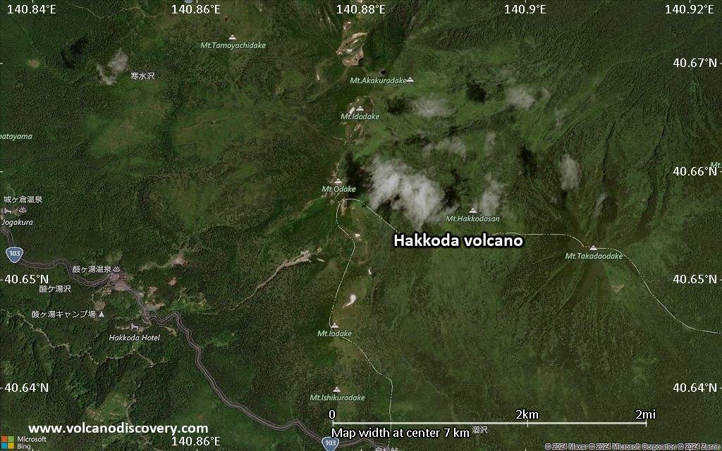
Satellite/aerial-type map of Hakkoda volcano (scale of 5-10 km)
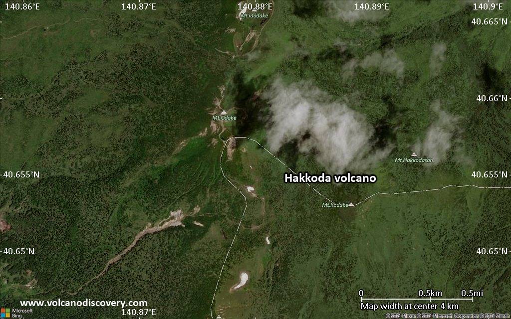
Satellite/aerial-type map of Hakkoda volcano (scale of few kilometers)