


Hengill Volcano
Updated: Nov 26, 2025 14:39 GMT -
Crater rows
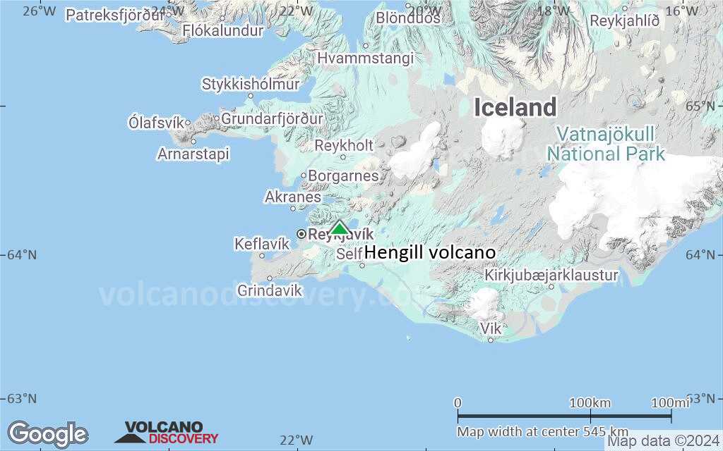
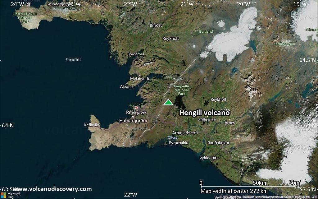
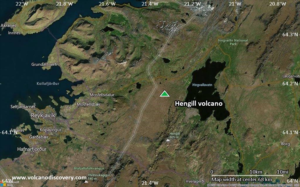
Iceland, 64.18°N / -21.33°W 
Summit height: 803 m (2,634 ft)
Current status: normal or dormant (1 out of 5)
Last update: 14 Mar 2022 (small earthquake swarms under Hengill volcano caused by pumping of water)
The Hengill volcanic system, cutting through Thingvallavatn lake, consists of a series of NE-SW-trending fissure vents, crater rows, and small shield volcanoes occupying a strongly faulted graben.
[smaller] [larger]
Effusive (lava flows).
Hengill volcano eruptions: none confirmed during historic times
Latest nearby earthquakes
| Date and Time | Mag / Depth | Distance / Location | |||
|---|---|---|---|---|---|
| Nov 26, 09:42 am (Reykjavik) | 0.7 4.8 km | 7.8 km (4.8 mi) to the SW | Info | ||
| Nov 26, 08:40 am (Reykjavik) | 0.4 6.5 km | 6.2 km (3.8 mi) to the SE | Info | ||
| Nov 26, 05:48 am (Universal Time) | 0.9 7.2 km | 8 km (5 mi) to the SE | Info | ||
| Nov 26, 05:11 am (Universal Time) | 1.8 7.3 km | 7.6 km (4.7 mi) to the S | Info | ||
| Nov 26, 05:02 am (Universal Time) | 0.7 4.8 km | 8 km (5 mi) to the W | Info | ||
| Nov 26, 03:36 am (Universal Time) | 0.9 4.8 km | 8.4 km (5.2 mi) to the W | Info | ||
| Nov 26, 03:26 am (Universal Time) | 0.9 4.9 km | 8.3 km (5.2 mi) to the W | Info | ||
| Sunday, November 23, 2025 GMT (1 quake) | |||||
| Nov 23, 11:55 pm (Universal Time) | 1.1 7.7 km | 27 km (17 mi) to the S | Info | ||
| Friday, November 21, 2025 GMT (1 quake) | |||||
| Nov 21, 04:47 am (Universal Time) | 1.1 15 km | 27 km (17 mi) to the SW | Info | ||
Background
Hengill is the easternmost of a series of four closely spaced basaltic fissure systems that cut diagonally across the Reykjanes Peninsula and lies at the triple junction of the Reykjanes Peninsula volcanic zone, the Western volcanic zone, and the South Iceland seismic zone. Postglacial lava flows surface much of the volcanic system. The latest eruption was radiocarbon dated about 1900 years before present. An eruption in the Hellisheidi area once thought to have occurred around 1000 AD at the time of a meeting of the Icelandic parliament at Thingvellir is now known to have occurred at a vent about 5 km away in the Brennisteinsfjöll volcanic system. Geothermally heated greenhouses, hot springs, and geysers are found at the Hveragerdi thermal area.---
Source: GVP, Smithsonian Institute
Hengill Volcano Photos

Hengill geothermal area, Iceland (Photo: Janka)

Natural hot water pond in Hengill geothermal area, Iceland (Photo: Janka)
Significant volcanic eruptions: Hengill volcano
No historic eruptions are known from Hengill volcano, but evidence from at least 13 eruptions during the past 10,000 years can be found in the geological record.
The table below lists all known eruptions (date in bold face) of Hengill volcano in historic times and during the past 10,000 years. Updates on the most recent volcanic activity of Hengill can be found on the news page of Hengill volcano.
| Date | Note | VEI | Deaths | Damage | |
|---|---|---|---|---|---|
| Nesjahraun, Reykjafellshraun | 2 | ||||
| Eldborg undir Meitlum | 2 | ||||
| Thjófahraun | ? | ||||
| Leitahraun, Ellidaárhraun | ? | ||||
| Hagavikurhraun | 2 | ||||
| Eldborgir | ? | ||||
| Stangarhals | ? | ||||
| Gjabakkahraun | ? | ||||
| Brunnar/Skogarkot | ? | ||||
| Selvogsheidi | ? | ||||
| Hafnarhraun | ? | ||||
| Thingvallahraun | ? | ||||
| SSW of Hengill (Hellisheid-A) | ? | ||||
Remark:
Our list of volcanic eruptions closely follows the database of eruptions of the Smithsonian's Global Volcanism Project (GVP), the internationally most recognized data source for volcanic eruptions, but also includes significant eruptive episodes or related volcano events. "Volcanic eruptions" are usually to be understood as sequences of individual eruptive episodes that can follow each other, or even overlap (if several vents are involved), and can last many years, decades or even longer. For example, the current activity of Stromboli volcano is understood as a single eruption that has been ongoing since 1934.
Sources: NOAA National Centers for Environmental Information (NCEI), Global Significant Volcanic Eruptions Database. doi:10.7289/V5TD9V7K | Global Volcanism Project / Smithsonian Institution
Hengill Volcano FAQ
+When was the last eruption of Hengill volcano?
The last confirmed eruption of Hengill occurred around 150 AD.
+When was the largest eruption of Hengill volcano?
The largest eruption known from the younger geological history of Hengill volcano occurred around 150 AD. It only has a VEI (Volcanic Explosivity Index) of , likely because it was a mainly effusive eruption generating lava flows but very little ash.
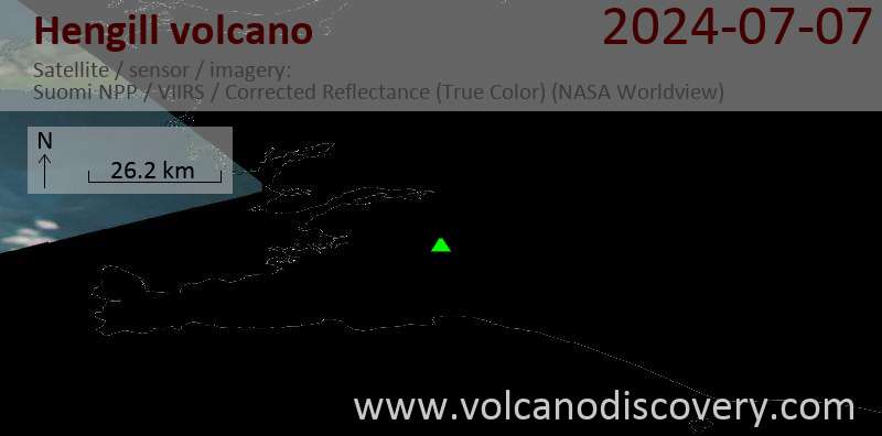
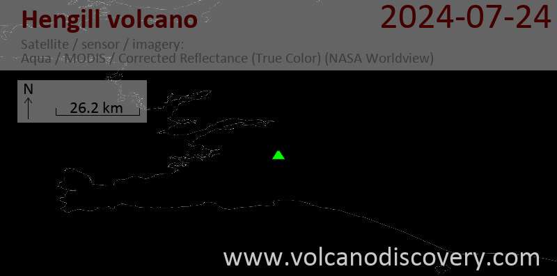
Latest satellite images
Hengill Volcano Maps
Below is a selection of maps showing the location and surroundings of the volcano at various resolutions based on aerial-imagery / terrain maps. Feel free to use them for non-commercial purposes on your blog or website as long as you credit them with a link back to this page (click to copy it).

Satellite/aerial-type map of Hengill volcano (world scale)
Terrain-type map of Hengill volcano (world scale)

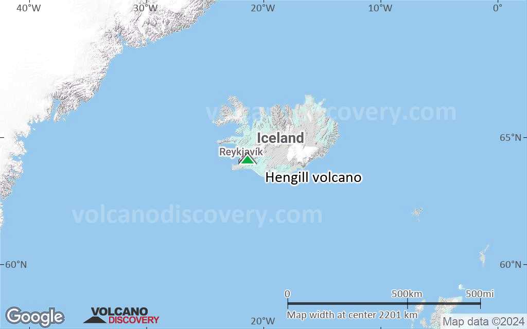
Satellite/aerial-type map of Hengill volcano (region scale large)
Terrain-type map of Hengill volcano (region scale large)

Satellite/aerial-type map of Hengill volcano (region scale medium)

Terrain-type map of Hengill volcano (region scale medium)

Satellite/aerial-type map of Hengill volcano (region scale small)
Terrain-type map of Hengill volcano (region scale small)
Satellite/aerial-type map of Hengill volcano (local scale large)

Terrain-type map of Hengill volcano (local scale large)

Satellite/aerial-type map of Hengill volcano (local scale medium)

Terrain-type map of Hengill volcano (local scale medium)
Satellite/aerial-type map of Hengill volcano (local scale small)

Terrain-type map of Hengill volcano (local scale small)

Satellite/aerial-type map of Hengill volcano (scale of 10s of km)

Terrain-type map of Hengill volcano (scale of 10s of km)

Satellite/aerial-type map of Hengill volcano (scale of 20-40 km)

Terrain-type map of Hengill volcano (scale of 20-40 km)

Satellite/aerial-type map of Hengill volcano (scale of approx. 10-20 km)

Terrain-type map of Hengill volcano (scale of approx. 10-20 km)

Satellite/aerial-type map of Hengill volcano (scale of 5-10 km)

Satellite/aerial-type map of Hengill volcano (scale of few kilometers)


