Ibu Volcano
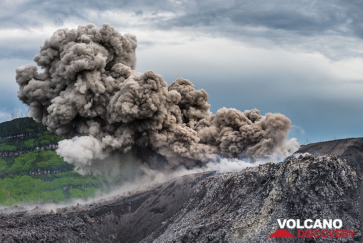
Only a few eruptions have been recorded from Ibu in historical time, the first was a small explosive eruption from the summit crater in 1911. An eruption producing a lava dome that eventually covered much of the floor of the inner summit crater began in December 1998.
Ibu volcano eruptions: 2012-ongoing, 2009, 2008, 2004-05, 2001, 1998-99, 1911
Latest nearby earthquakes
| Date and Time | Mag / Depth | Distance / Location | |||
|---|---|---|---|---|---|
Background
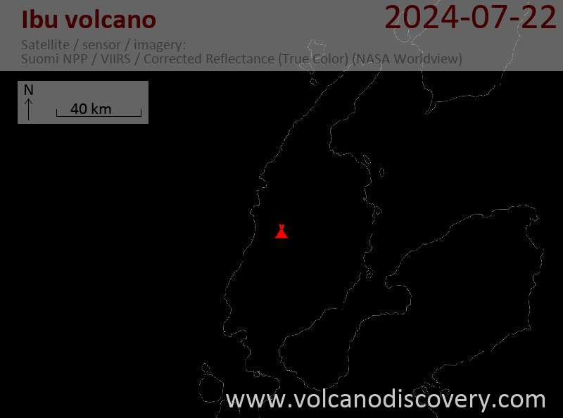
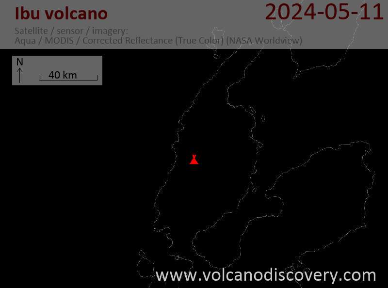
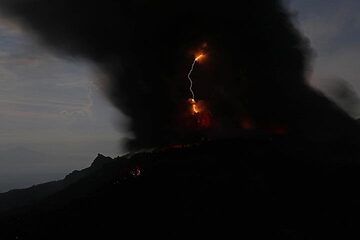
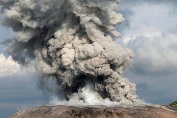
Ibu volcano, located along the NW coast of Halmahera Island, is a stratovolcano with a truncated summit and a number of large nested summit craters. The inner crater, 1 km wide and 400 m deep, contained several small crater lakes through much of historical time. The outer crater, 1.2 km wide, is breached on the north side, creating a steep-walled valley. A large parasitic cone is located ENE of the summit. A smaller one to the WSW has fed a lava flow down the western flank. A group of maars is located below the northern and western flanks of the volcano.Ibu Volcano Photos
Significant volcanic eruptions: Ibu volcano
| Date | Note | VEI | Deaths | Damage | |
|---|---|---|---|---|---|
Historical obs./docs. | 1 | ||||
Historical obs./docs. | 0? | ||||
Historical obs./docs. | 0 | ||||
Historical obs./docs. | 2 | ||||
Historical obs./docs. | 2 | ||||
Ibu Volcano FAQ
+When was the last eruption of Ibu volcano?
The last confirmed eruption of Ibu began in 2008 and is continuing (as of May 2025).
+How often does Ibu volcano erupt?
Since 1911, Ibu volcano has had at least 5 historically documented eruptions. This means that it erupts on average every 22.8 years.
Many eruptions of Ibu have lasted more than one year. In total, the volcano has been in eruption during 24 out of 114 years until now. In other words, Ibu has been active at least one in 4.8 years on average. Note that this value is likely an underestimate, because the known history of eruptions from Ibu is likely incomplete, especially further back in time.
+How active is Ibu volcano at present?
Ibu volcano is relatively active: Since 1900, it has had 24 eruptions, and been active during 24 years out of 126 as of now. This means, Ibu has been in eruption one in 5.3 years on average. The latest eruption is still continuing at present.
+When was the largest eruption of Ibu volcano?
The largest eruption of Ibu volcano in historic times occurred during 1998 - 1999. It ranks as a strombolian to vulcanian eruption with a magnitude 2 on the VEI (Volcanic Explosivity Index) scale.
Latest satellite images
Ibu Volcano Maps


