Ilimuda Volcano
Updated: Jul 1, 2025 13:12 GMT -
stratovolcano
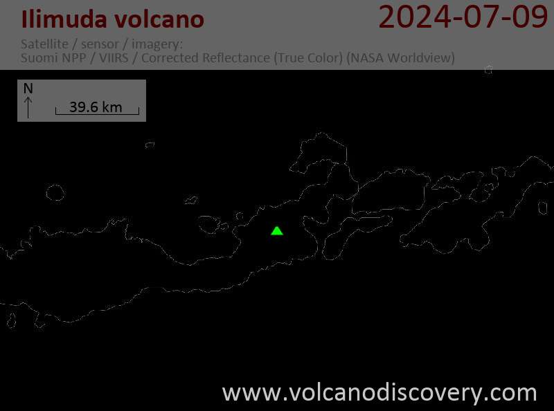
Flores (Indonesia), -8.48°S / 122.67°E 
Summit height: 1100 m / 3,609 ft
Current status: normal or dormant (1 out of 5)
Ilimuda volcano, located 6.5 km north of Lewotobi Lakilaki volcano opposite Konga Bay in eastern Flores, has a large 1 km wide and 450 m deep crater breached to the southeast. An active fumarole is found inside the NE crater rim.
A number of flank cones, including the Ilibotong lava dome, are located on the lower SE and NE flanks.
[smaller] [larger]
Ilimuda volcano eruptions: unknown, non in historic time
Latest nearby earthquakes
| Date and Time | Mag / Depth | Distance / Location | |||
|---|---|---|---|---|---|
Latest satellite images

Ilimuda Volcano Maps
Below is a selection of maps showing the location and surroundings of the volcano at various resolutions based on aerial-imagery / terrain maps. Feel free to use them for non-commercial purposes on your blog or website as long as you credit them with a link back to this page (click to copy it).

Satellite/aerial-type map of Ilimuda volcano (world scale)

Terrain-type map of Ilimuda volcano (world scale)

Satellite/aerial-type map of Ilimuda volcano (region scale large)

Terrain-type map of Ilimuda volcano (region scale large)

Satellite/aerial-type map of Ilimuda volcano (region scale medium)

Terrain-type map of Ilimuda volcano (region scale medium)

Satellite/aerial-type map of Ilimuda volcano (region scale small)

Terrain-type map of Ilimuda volcano (region scale small)

Satellite/aerial-type map of Ilimuda volcano (local scale large)

Terrain-type map of Ilimuda volcano (local scale large)

Satellite/aerial-type map of Ilimuda volcano (local scale medium)

Terrain-type map of Ilimuda volcano (local scale medium)

Satellite/aerial-type map of Ilimuda volcano (local scale small)

Terrain-type map of Ilimuda volcano (local scale small)

Satellite/aerial-type map of Ilimuda volcano (scale of 10s of km)

Terrain-type map of Ilimuda volcano (scale of 10s of km)

Satellite/aerial-type map of Ilimuda volcano (scale of 20-40 km)

Terrain-type map of Ilimuda volcano (scale of 20-40 km)

Satellite/aerial-type map of Ilimuda volcano (scale of approx. 10-20 km)

Terrain-type map of Ilimuda volcano (scale of approx. 10-20 km)

Satellite/aerial-type map of Ilimuda volcano (scale of 5-10 km)

Satellite/aerial-type map of Ilimuda volcano (scale of few kilometers)