Iya Volcano
Iya volcano in central Flores is the southernmost of a group of 3 volcanoes (Iya, Rooia and Pui) forming a small peninsula south of the city of Ende. Rooja and Pui cones to the north appear to be older than Iya and have no known historic activity.
Many small eruptions have occurred at Iya volcano in historic times.
Iya volcano eruptions: 1971(?), 1969, 1953, 1888(?), 1882, 1871, 1868, 1867, 1844, 1671
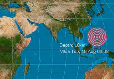
Latest nearby earthquakes
| Date and Time | Mag / Depth | Distance / Location | |||
|---|---|---|---|---|---|
| Jul 18, 03:03 pm (Universal Time) | 1.3 10 km | 11 km (6.9 mi) to the NW | Info | ||
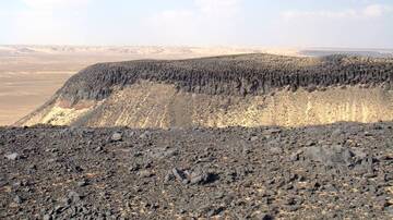
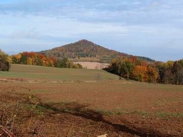
Iya Volcano Photos
Significant volcanic eruptions: Iya volcano
| Date | Note | VEI | Deaths | Damage | |
|---|---|---|---|---|---|
?? | Uncertain Eruption | 1 | |||
| Crater II (upper SW flank) Historical obs./docs. | 3 | ||||
| 1969 Jan 28 (eruption | Historical obs./docs. | 3 | 2 | very heavy | Info |
Historical obs./docs. | 2? | ||||
?? | Uncertain Eruption | ? | |||
Historical obs./docs. | 2 | ||||
Historical obs./docs. | 2 | ||||
Historical obs./docs. | 2 | ||||
Historical obs./docs. | 2 | ||||
Historical obs./docs. | 2 | ||||
Historical obs./docs. | 3 | ||||
?? | Uncertain Eruption | ? | |||
Iya Volcano FAQ
+When was the last eruption of Iya volcano?
The last confirmed eruption of Iya occurred in 1969.
+How often does Iya volcano erupt?
Since 1671 AD, Iya volcano has had at least 8 historically documented eruptions. This means that it erupts on average every 44 years.
+How active is Iya volcano at present?
Iya volcano is occasionally active: Since 1900, it has had 2 eruptions, and been active during 2 years out of 126 as of now. This means, Iya has been in eruption one in 63 years on average. The last eruption was in 1969 and ended 56 years ago.
+When was the largest eruption of Iya volcano?
The largest eruption of Iya volcano in historic times occurred in 1969. It ranks as a "vulcanian" eruption with a magnitude 3 on the VEI (Volcanic Explosivity Index) scale.
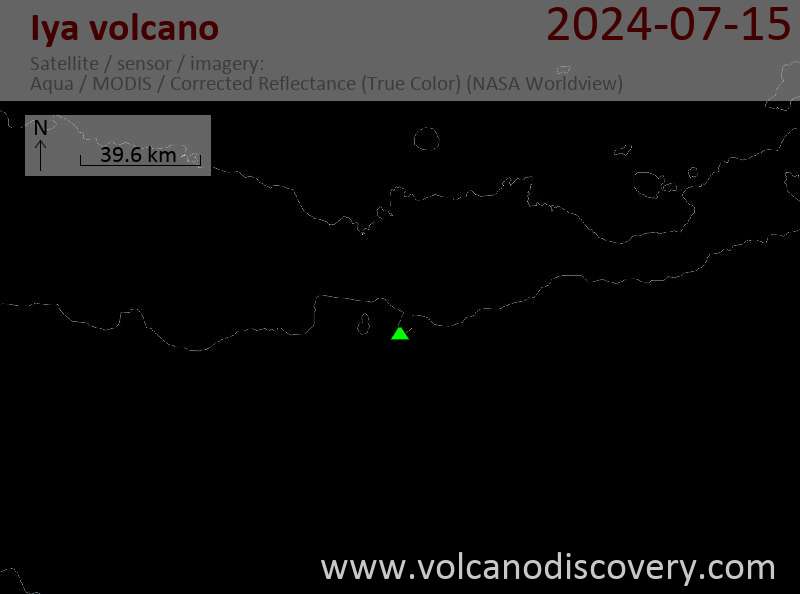
Latest satellite images
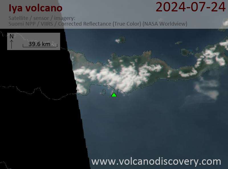
Iya Volcano Maps