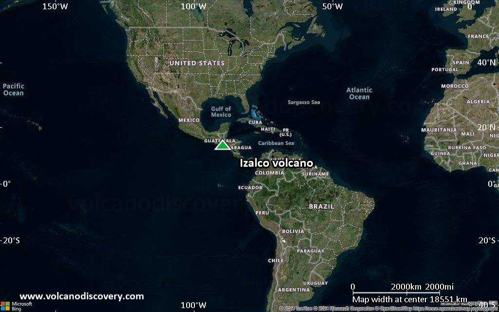
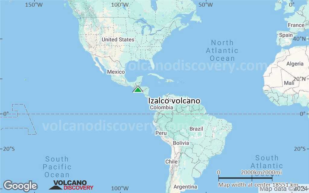
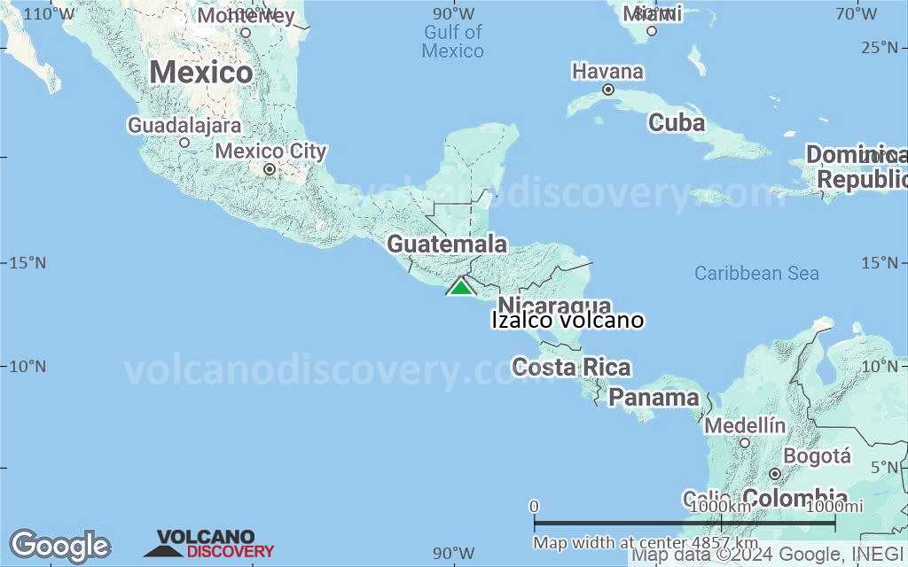
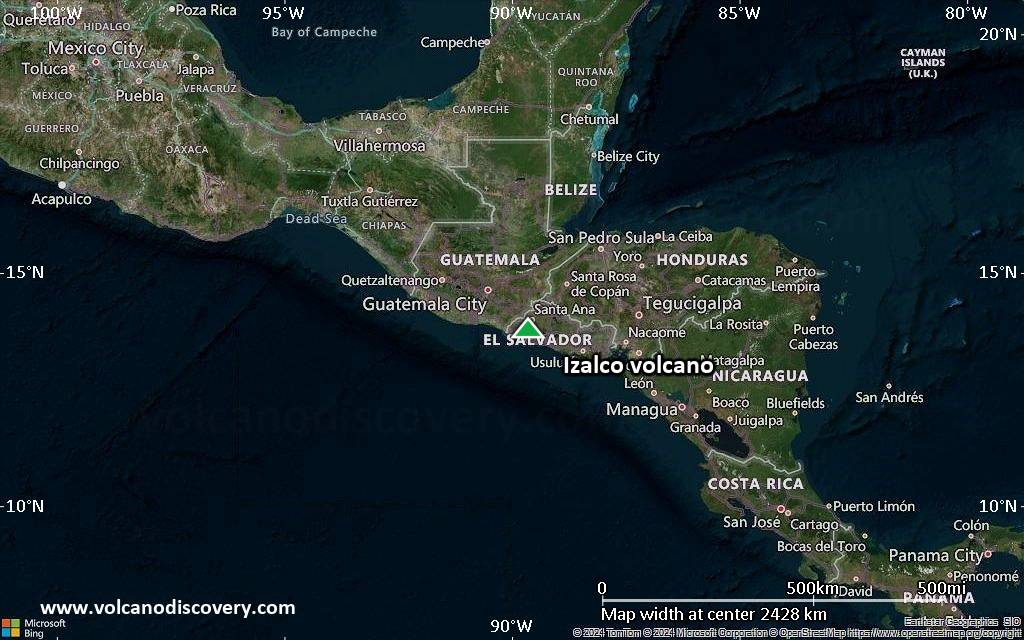
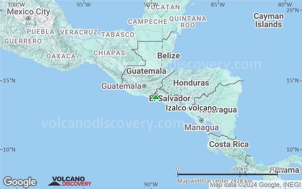
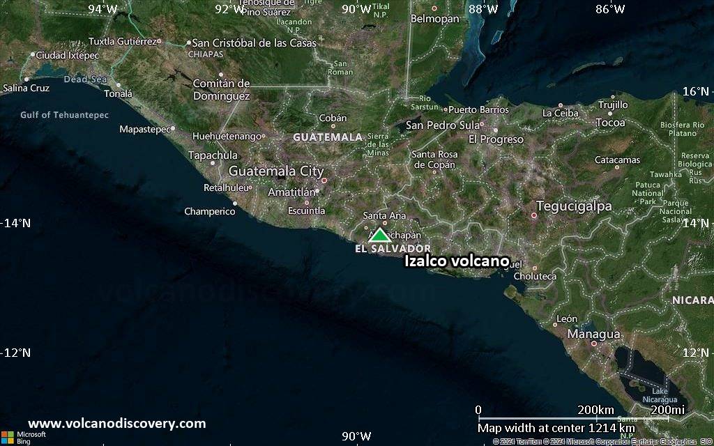
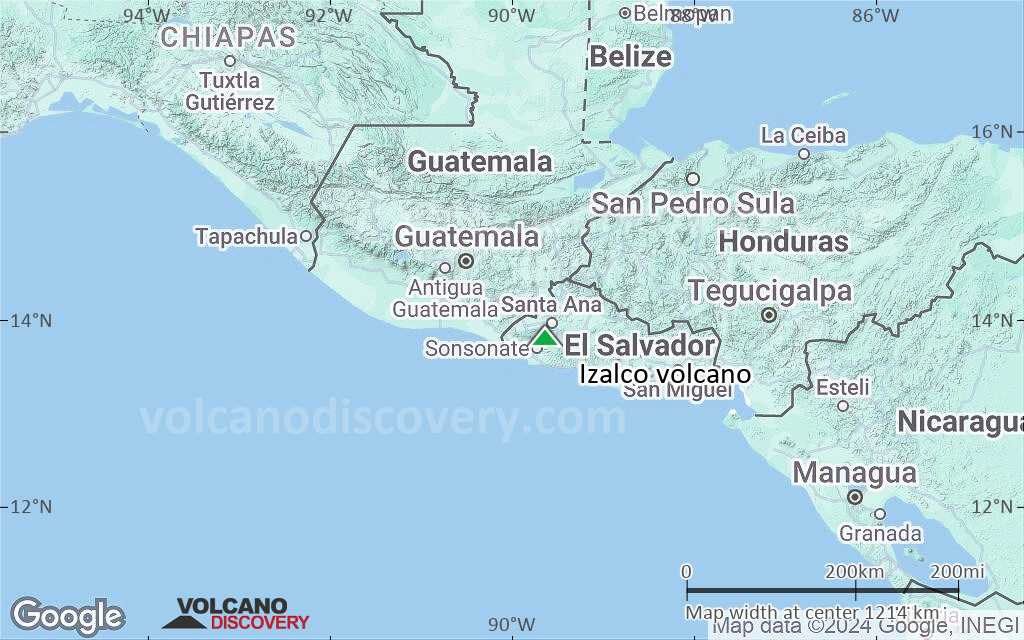
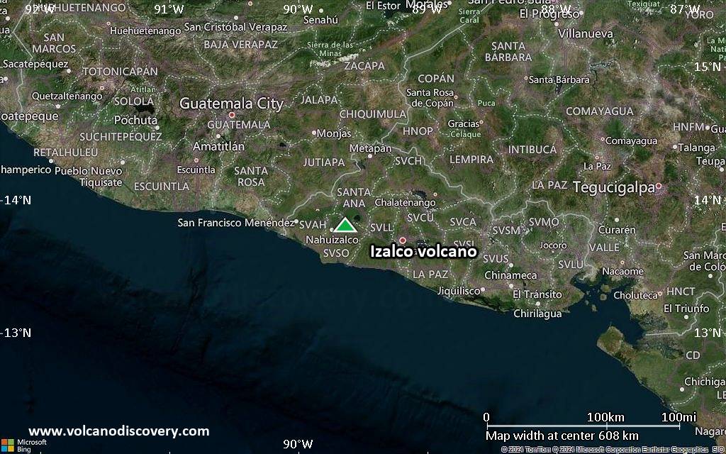
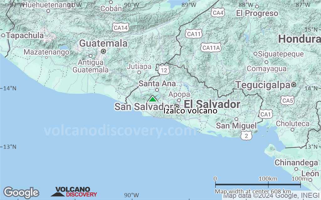
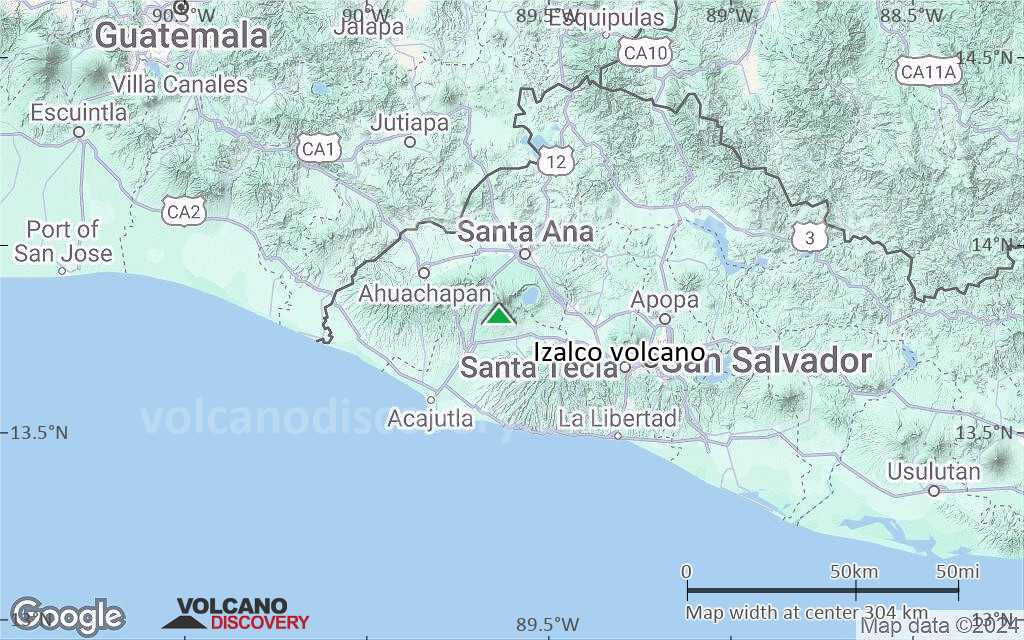
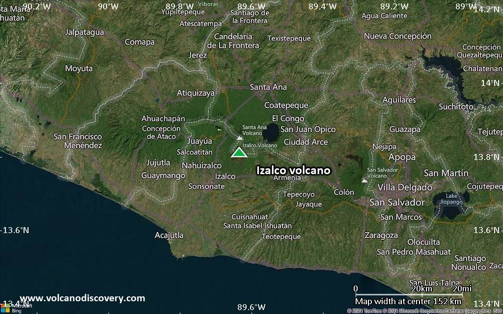
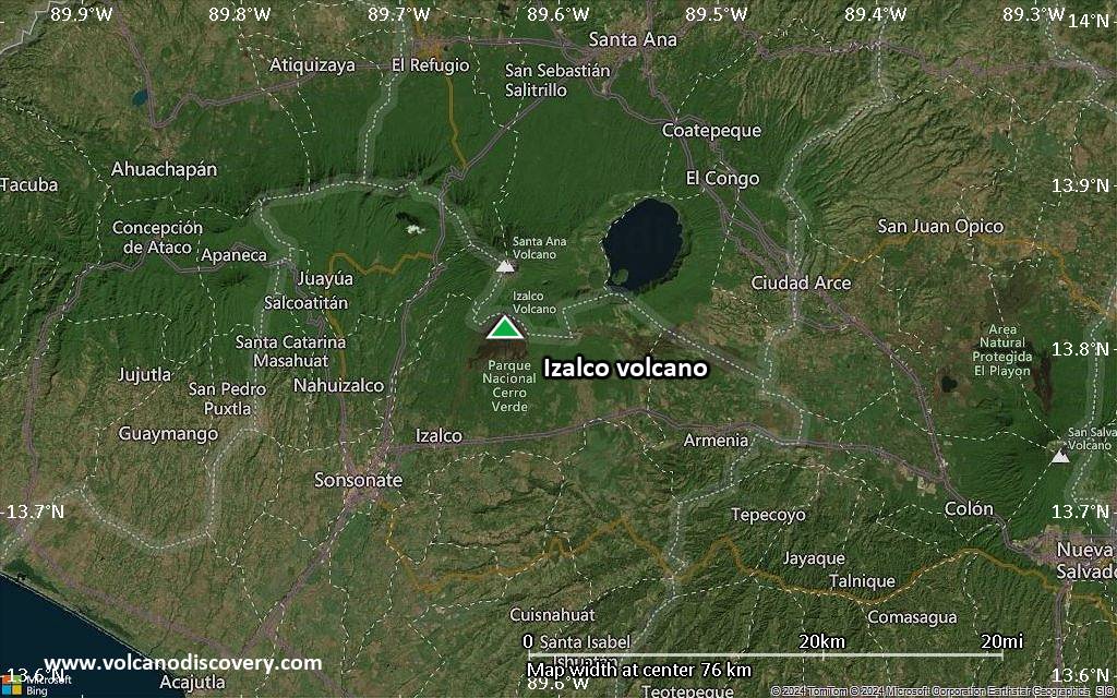
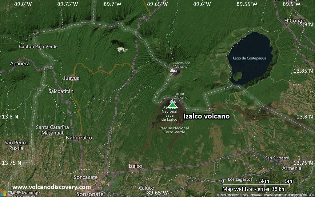
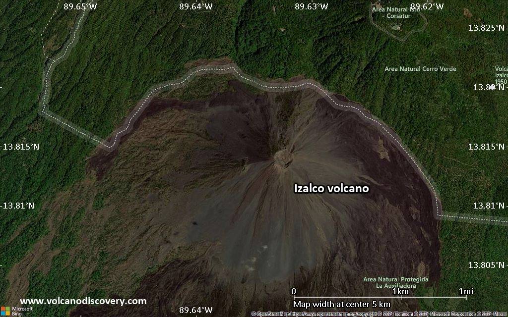
Izalco Volcano
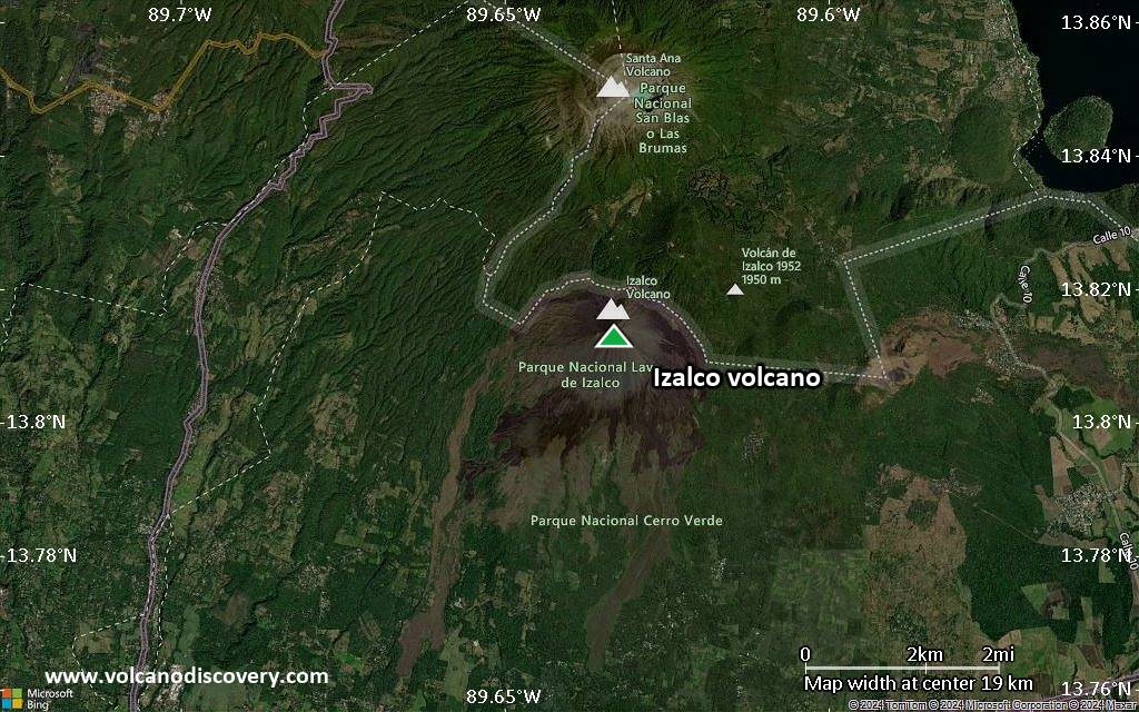
Izalco volcano was born in 1770 and is the youngest volcano in El Slavador. It formed on the southern flank of Santa Ana volcano located 45 km NW of San Salvador city.
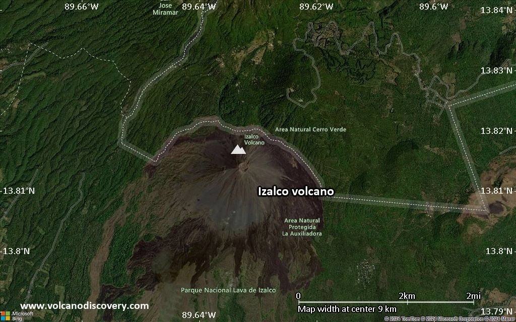
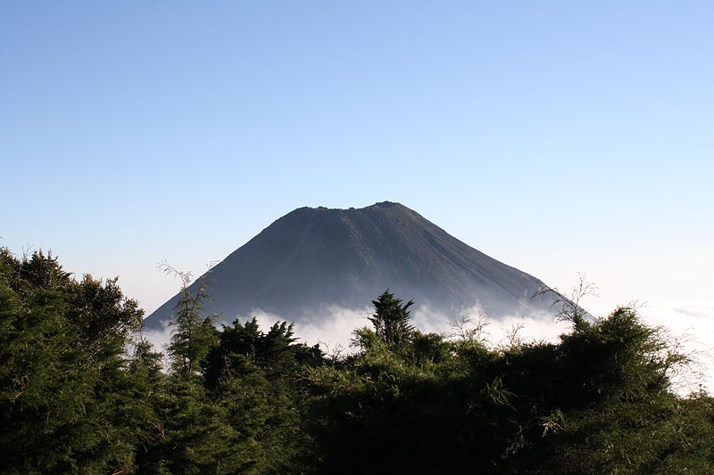
Frequent strombolian eruptions and sometimes lava flows have built a largely unvegetated cone 650 m high which contains a 250 m wide and 50 m deep summit crater.
Volcán Izalco was frequently active between 1770 and 1966, but has been in its longest repose interval of its short history since then.
Similarly to Stromboli volcano in Italy, it acquired the nickname of "El Faro", the "Lighthouse of the Pacific", because of its frequent strombolian eruptions that provided a natural night-time beacon beacon for ships.
Izalco is one of the most frequently active volcanoes in North and Central America.
Izalco volcano eruptions: 1966, 1948-57, 1939-48, 1937-38(?), 1933-34, 1931, 1930, 1927-28(?), 1925-27, 1924, 1920-21, 1912-16, 1903-05, 1902, 1899-1900, 1891-98, 1890, 1887-89, 1885, 1884, 1883, 1882, 1881, 1879-80, 1878, 1874-75 (?), 1872-73, 1870 (?), 1869, 1868, 1867, 1866, 1864-65, 1863, 1859-60, 1858-59,1857, 1856, 1854, 1850, 1844, 1842, 1838-40, 1836, 1825, 1817, 1805-07, 1802-03, 1798, 1793, 1783, 1772(?), 1770
Latest nearby earthquakes
| Date and Time | Mag / Depth | Distance / Location | |||
|---|---|---|---|---|---|
| May 21, 11:28 am (GMT -6) | 2.0 5 km | 14 km (8.9 mi) to the NW | Info | ||
| Tuesday, May 20, 2025 GMT (5 quakes) | |||||
| May 20, 10:48 am (Universal Time) | 1.5 10 km | 15 km (9.1 mi) to the NW | Info | ||
| May 20, 08:39 am (Universal Time) | 2.4 4 km | 15 km (9.5 mi) to the NW | Info | ||
| May 20, 08:34 am (Universal Time) | 2.0 7 km | 15 km (9 mi) to the NW | Info | ||
| May 20, 08:30 am (Universal Time) | 1.7 6 km | 13 km (8.2 mi) to the NW | Info | ||
| May 20, 03:59 am (Universal Time) | 1.6 8 km | 26 km (16 mi) to the E | Info | ||
| Sunday, May 18, 2025 GMT (1 quake) | |||||
| May 18, 10:25 am (Universal Time) | 1.5 7 km | 14 km (8.4 mi) to the NW | Info | ||
| Saturday, May 17, 2025 GMT (5 quakes) | |||||
| 2025-05-17 17:58:37 | 2.5 4 km | 16 km (9.7 mi) to the NW | Info | ||
| May 17, 05:58 pm (GMT -6) | 2.5 8 km | 14 km (8.9 mi) to the NW | Info | ||
Background
Volcán de Izalco is dominantly basaltic to andesite in composition. Its lavas are geochemically distinct from those of both Santa Ana and its fissure-controlled flank vents. The lavas from Izalco have markedly higher content of Al2O3, CaO and Sr, and lower incompatible elements (Zr, Rb, K, Ba and TiO2).Most lava flows from Izalco were erupted from flank vents and traveled south due to the topographic setting on the slopes of Santa Ana volcano, reaching up to 7 km distance.
Izalco is known for its high-temperature minerals discovered at fumaroles in the summit crater, including shcherbinaite, bannermanite, stoiberite, fingerite, ziesite, blossite and mcbirneyite. 6 new vanadium minerals in particular were discovered at Izalco volcano and 5 of these have been elevated to mineral status. 2 of these minerals are among the most vanadium-rich compounds known in nature (Hughes and Stoiber, 1985).
Sources and further reading:
- Smithsonian / GVP volcano information
- J. M. Hughes, R. E. Stoiber (1985) "Vanadium sublimates from the fumaroles of Izalco volcano, El Salvador", J. of Volcanology and Geothermal Research, v. 24 (3-4), pp. 283-291
- Rose, W. I. Jr., Stoiber, R. E. (1969) "The 1966 eruption of Izalco volcano, El Salvador" J. Geophys. Res., v. 74, pp. 3119–3130
- Sheets P. D. (2004) "Apocalypse then: social science approaches to volcanism, people, and cultures in the Zapotitan Valley, El Salvador", in : Rose W. I., Bommer J. J., Lopez D. L., Carr M. J., Major J. J. (eds) "Natural Hazards in El Salvador", Bolder, Colorado, Geological Society of America Special Paper v. 375, pp. 109–120
Significant volcanic eruptions: Izalco volcano
| Date | Note | VEI | Deaths | Damage | |
|---|---|---|---|---|---|
| SSE flank (550 m below summit) Historical obs./docs. | 0 | ||||
| Summit, SW and NE flanks Historical obs./docs. | 3 | ||||
| Summit and SSE flank Historical obs./docs. | 2 | ||||
Historical obs./docs. | 2? | ||||
Historical obs./docs. | 2 | ||||
Historical obs./docs. | 2 | ||||
| Outer slope of eastern summit crater Historical obs./docs. | ? | ||||
Historical obs./docs. | 2 | ||||
Historical obs./docs. | 3? | ||||
Historical obs./docs. | 2 | ||||
| SE flank Historical obs./docs. | 2 | ||||
| 1920 Oct 29 (eruption | Historical obs./docs. | 3 | 1-50 (*) | Info | |
| Summit and NE flank Historical obs./docs. | 2 | ||||
| Summit and east flank Historical obs./docs. | 2 | ||||
| Summit and NE flank Historical obs./docs. | 2 | ||||
Historical obs./docs. | 2 | ||||
Historical obs./docs. | 2 | ||||
| Summit and upper east flank Historical obs./docs. | ? | ||||
Historical obs./docs. | 2 | ||||
Historical obs./docs. | 2 | ||||
Historical obs./docs. | 2 | ||||
Historical obs./docs. | 2 | ||||
Historical obs./docs. | 2 | ||||
Historical obs./docs. | ? | ||||
Historical obs./docs. | 2 | ||||
Historical obs./docs. | ? | ||||
?? | Uncertain Eruption | ? | |||
Historical obs./docs. | 2 | ||||
?? | Uncertain Eruption | 2? | |||
| Summit and east flank Historical obs./docs. | 2 | ||||
Historical obs./docs. | 2 | ||||
Historical obs./docs. | 2 | ||||
Historical obs./docs. | 2 | ||||
| Summit and NE flank Historical obs./docs. | 2 | ||||
Historical obs./docs. | ? | ||||
Historical obs./docs. | ? | ||||
Historical obs./docs. | 2 | ||||
Historical obs./docs. | 2 | ||||
| Summit and south flank Historical obs./docs. | 2 | ||||
Historical obs./docs. | 2 | ||||
Historical obs./docs. | 2 | ||||
Historical obs./docs. | 2 | ||||
Historical obs./docs. | 2 | ||||
Historical obs./docs. | 2 | ||||
Historical obs./docs. | 2 | ||||
Historical obs./docs. | 2 | ||||
Historical obs./docs. | 2 | ||||
Historical obs./docs. | 2 | ||||
Historical obs./docs. | 2 | ||||
Eruptions of Izalco volcano
Fumarolic activity increased at Izalco volcano in 1999. Fumaroles at the summit of Izalco volcano that had not been active for 35 years started to emit hot (85 deg C) vapor in 1999. An increase had also been observed in November 1998 following Hurricane Mitch.
A slight thermal anomaly of up to 15 deg C was detected by infrared measurements at the crater of Izalco in 1973. ...more info
Izalco volcano started to erupt on 28 October 1966 from a vent located 550 m on the SSE flank below the summit, the same area that also was active in 1946. the erution produced 2 lava flows of about 1.2 km length.
Lava flows from the eruption in 1926 buried the village of Matazano. 56 people were killed during the eruption.
A strombolian eruption started around 24 October 1924 at Izalco volcano and lasted until 10 Nov, but shortly resumed on 21 December the same year.
An eruption of Izalco volcano began on 29 October 1920 from a vent on the upper SE flank and lasted until 1 April 1921.
Izalco Volcano FAQ
+When was the last eruption of Izalco volcano?
The last confirmed eruption of Izalco occurred in 1966.
+How often does Izalco volcano erupt?
Since 1770, Izalco volcano has had at least 51 historically documented eruptions. This means that it erupts on average every 5 years.
Many eruptions of Izalco have lasted more than one year. In total, the volcano has been in eruption during 98 out of 255 years until now. In other words, Izalco has been active at least one in 2.6 years on average. Note that this value is likely an underestimate, because the known history of eruptions from Izalco is likely incomplete, especially further back in time.
+How active is Izalco volcano at present?
Izalco volcano is very active: Since 1900, it has had 43 eruptions, and been active during 43 years out of 126 as of now. This means, Izalco has been in eruption one in 2.9 years on average. The last eruption was in 1966 and ended 59 years ago.
+When was the largest eruption of Izalco volcano?
The largest eruption of Izalco volcano in historic times occurred during 1948 - 1957. It ranks as a "vulcanian" eruption with a magnitude 3 on the VEI (Volcanic Explosivity Index) scale.
Latest satellite images

Izalco Volcano Maps