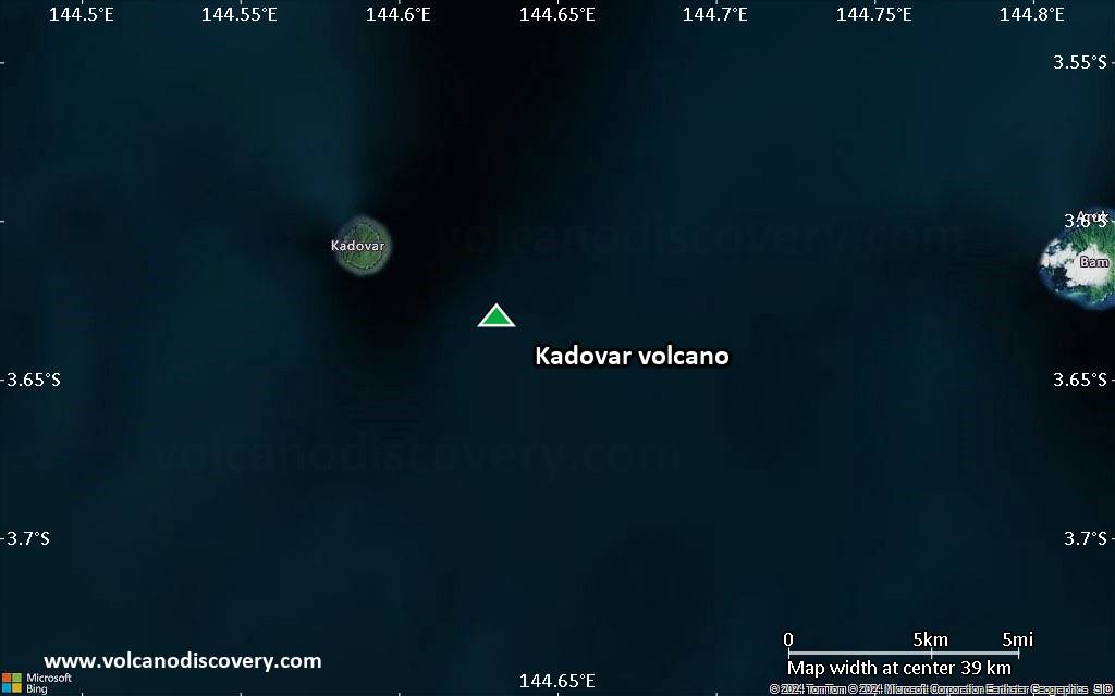
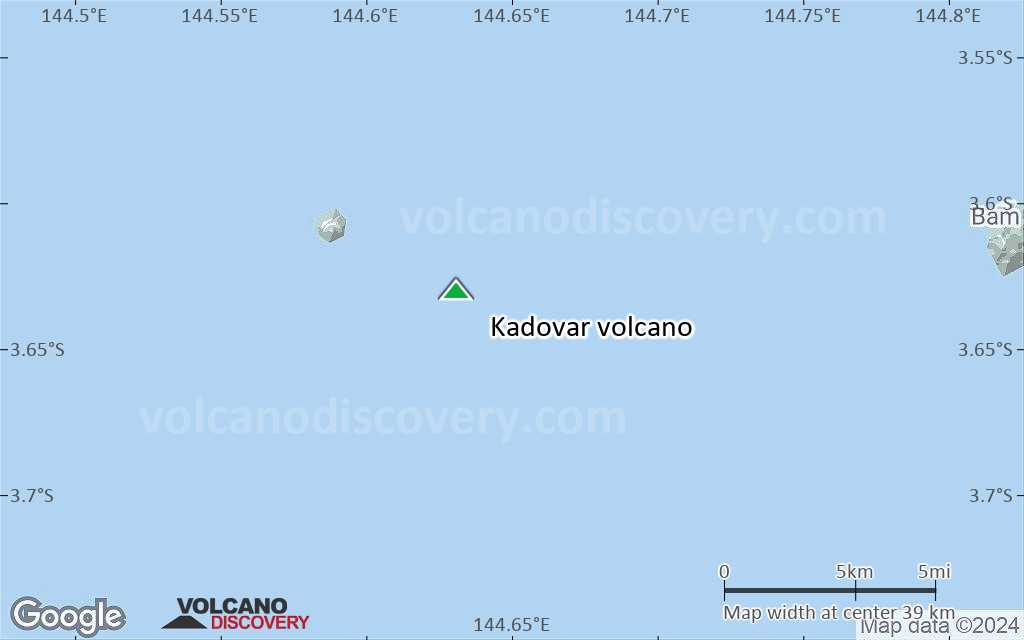
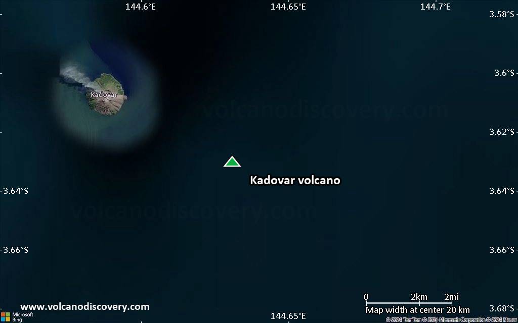
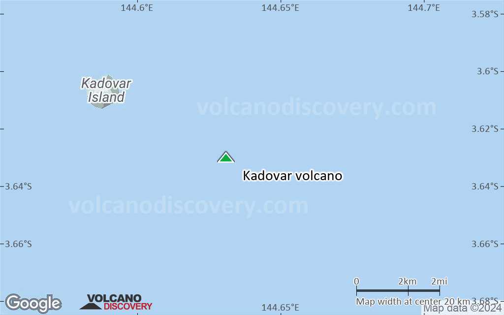
| RSS | EN | DE | EL | ES | FR | IT | RU

Kadovar Volcano

Updated: Nov 14, 2025 15:40 GMT -
stratovolcano
Northeast of New Guinea (Papua New Guinea), -3.63°S / 144.63°E
Summit height: 365 m / 1,197 ft
Current status: normal or dormant (1 out of 5)
Last update: 5 Nov 2023 (Smithsonian / USGS Weekly Volcanic Activity Report)

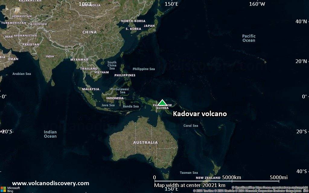
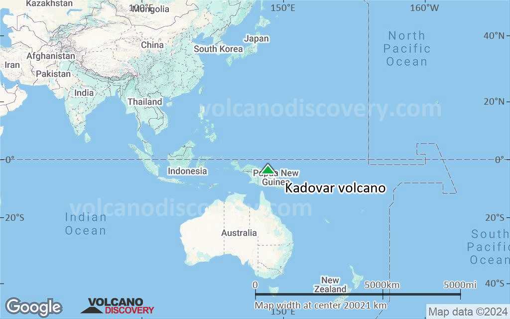
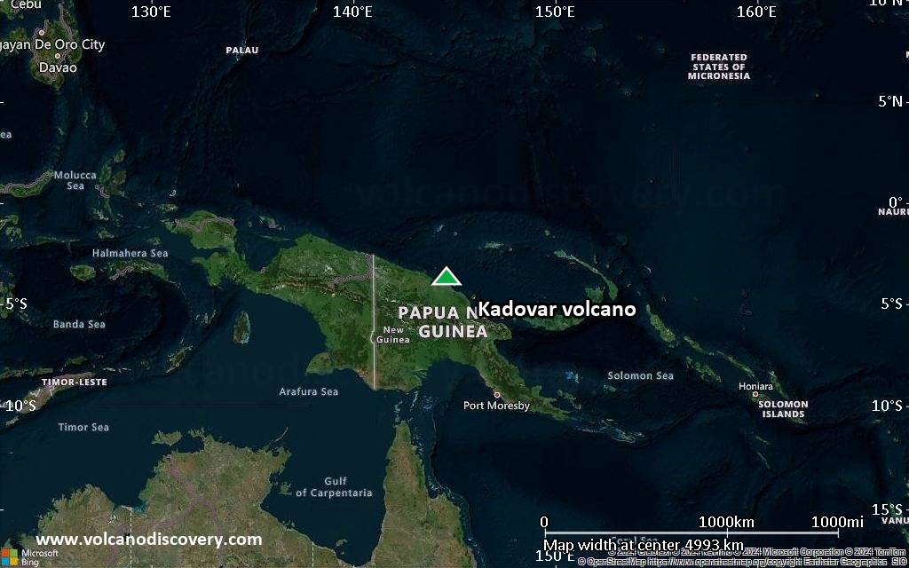
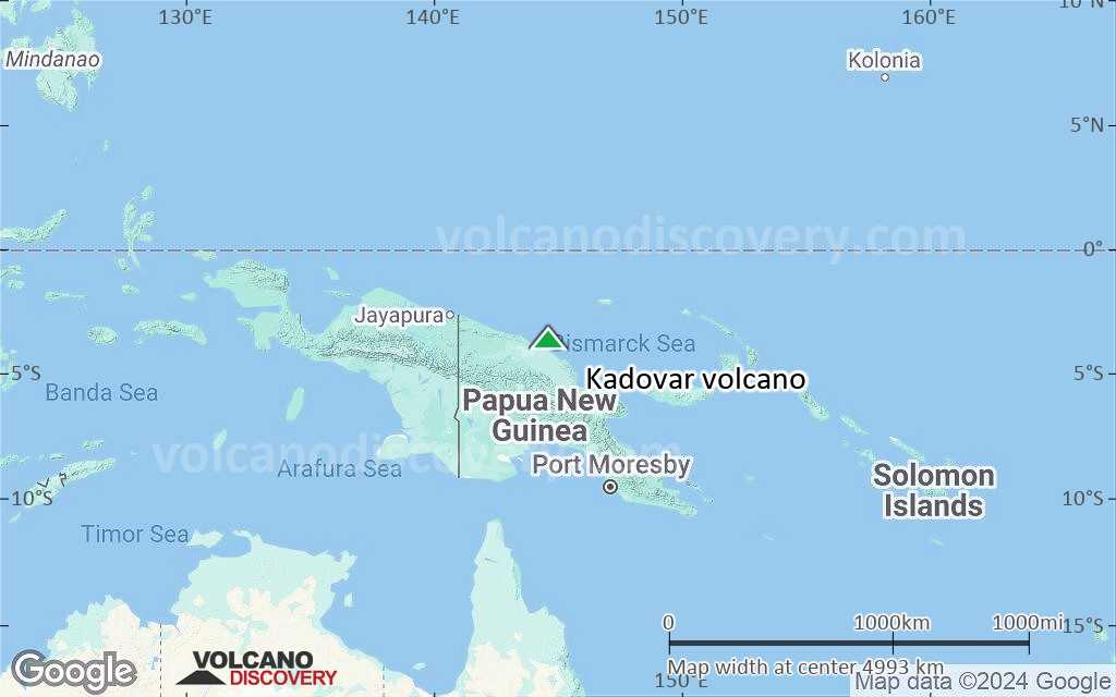
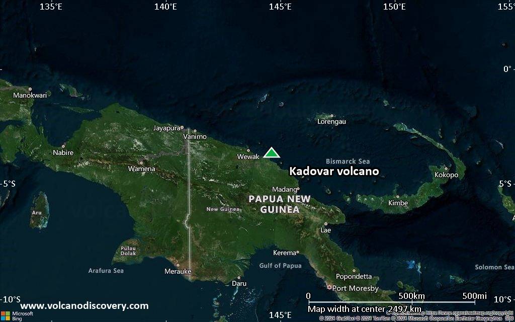
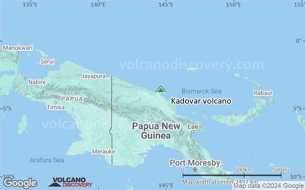
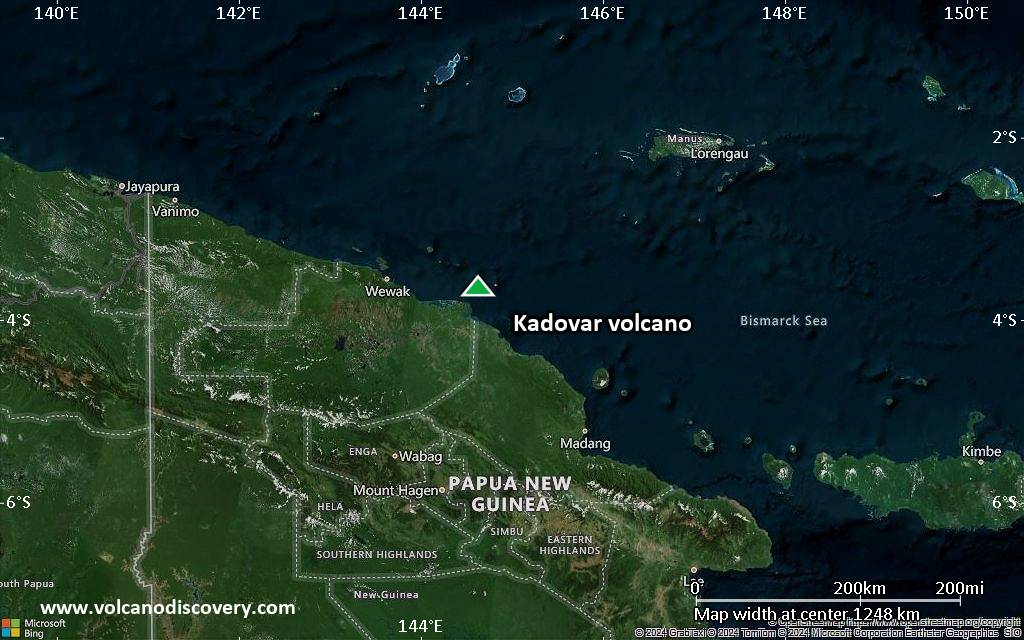
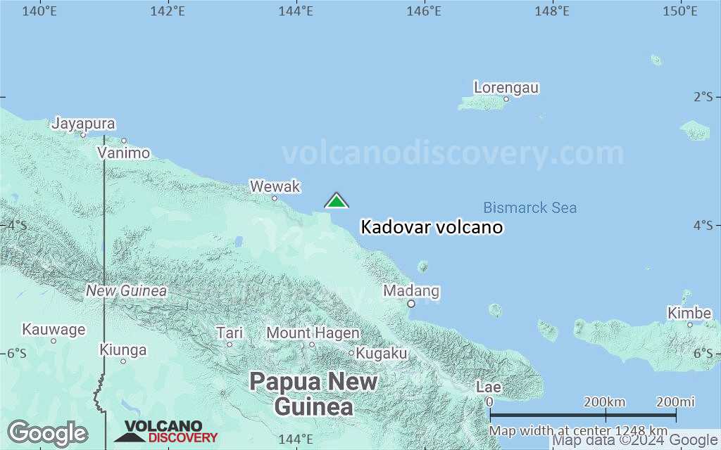
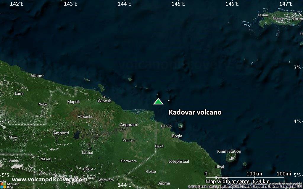
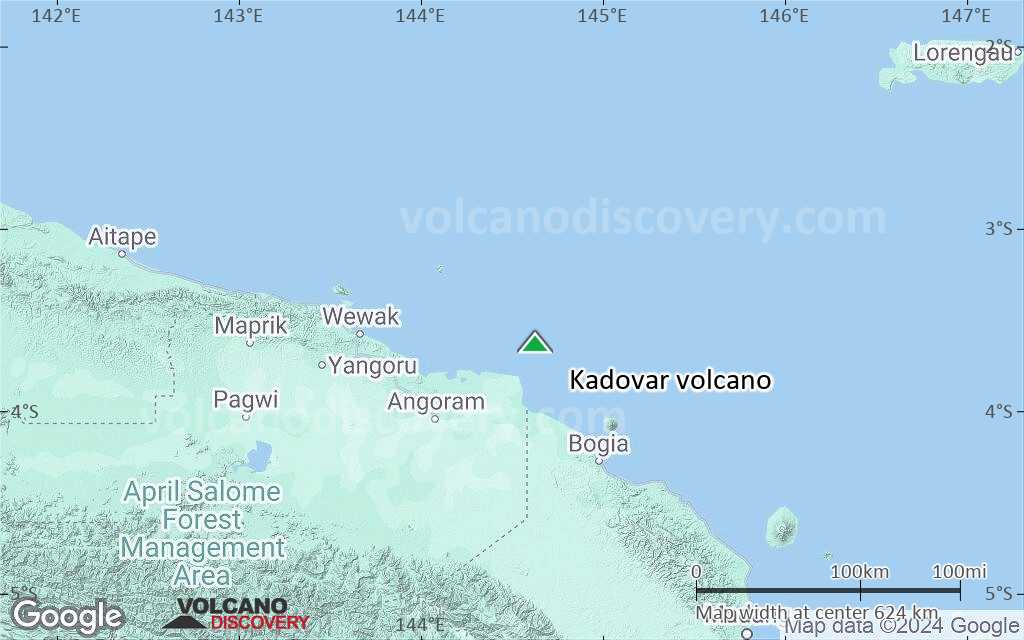
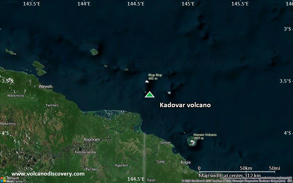
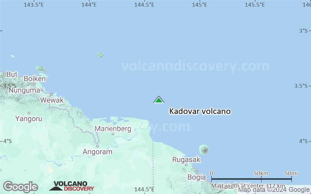
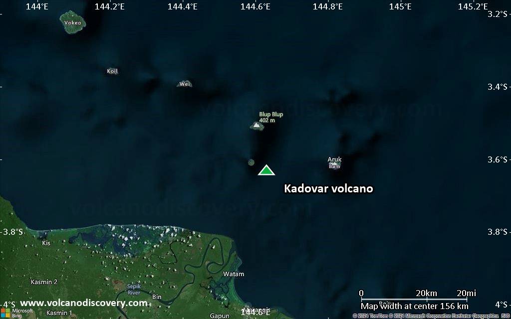
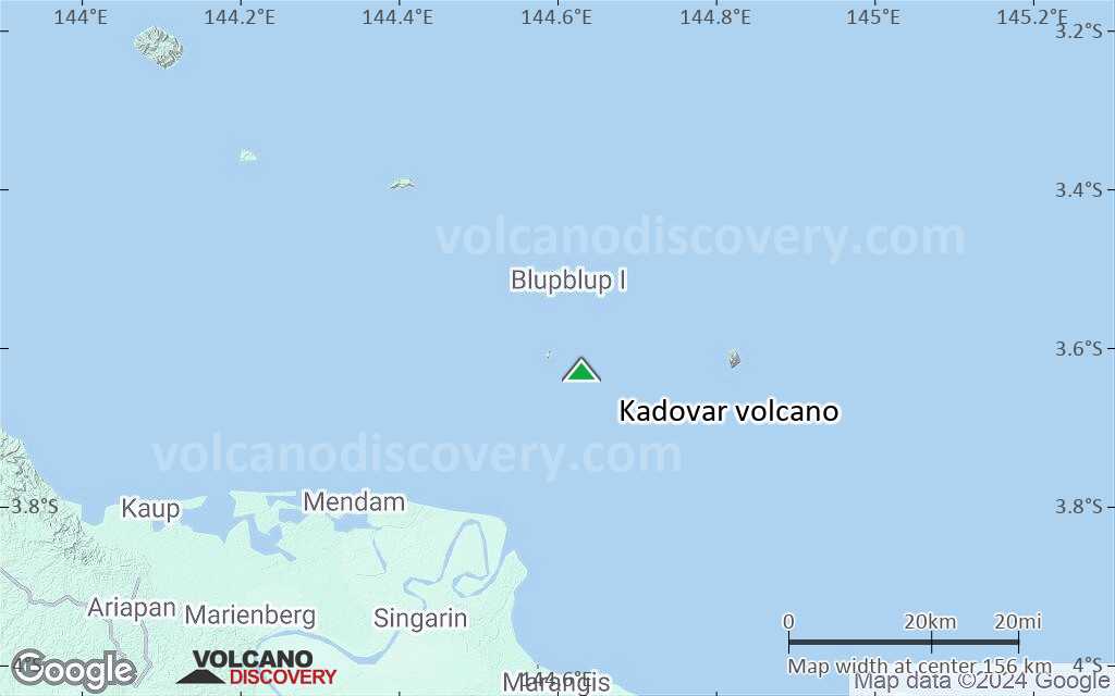
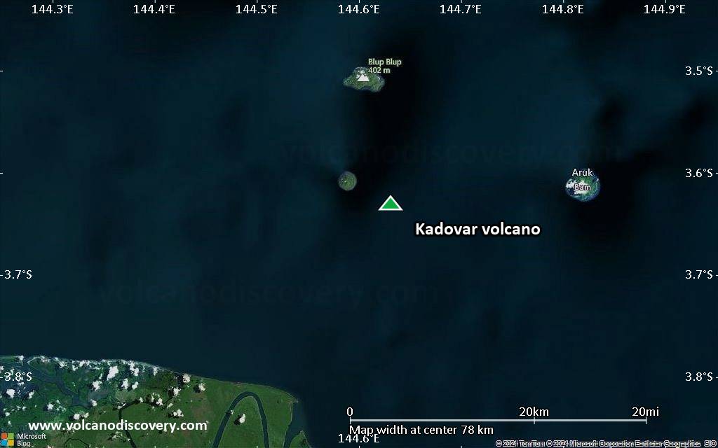
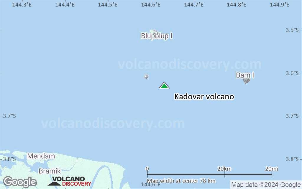
Kadovar volcano forms the tiny 2 km wide Kadovar Island, one of the Schouten Islands. It is located 25 km north of the mouth of the Sepik River on New Guinea.
The island is the submerged peak of a stratovolcano at the western end of the 1000 km long Bismarck volcanic arc.
Kadovar contains a 1 km wide breached crater, and the village of Gewai is perched on the crater rim. There are no certain eruptions in historic time, but an increase in thermal activity occurred in 1976.

[smaller] [larger]
Typical eruption style: explosive
Kadovar volcano eruptions: 2018, 1700 (?)

Latest nearby earthquakes

Date and TimeMag / DepthDistance / Location
May 21, 01:05 am (Port Moresby)
6.5

10 km
24 km (15 mi) to the SE Bismarck Sea, 44 km northwest of Manam Island, Madang Province, Papua New Guinea 3 reportsInfo

Background

A landslide occurred in the past, removing part of the south slope and leaving an horse-show shaped car on the south side. The corresponding submarine debris avalanche deposits have been identified. A lava 365-m-high lava dome has partly filled the depression and forms the highest point of the andesitic volcano.
The volcano has produced thick lava flows with prismatic lava formations visible at low cliffs on the coast.
The volcano is too young for reefs to have formed around the island.

Significant volcanic eruptions: Kadovar volcano

In the past 10,000 years, Kadovar has had only one confirmed historic eruption during 2018 - 2023. Additionally, there are 2 uncertain or discredited eruptions from Kadovar volcano.
The table below lists all known eruptions (date in bold face) of Kadovar volcano in historic times and during the past 10,000 years. Updates on the most recent volcanic activity of Kadovar can be found on the news page of Kadovar volcano.
DateNoteVEIDeathsDamage
2018 Jan 5 - 2023 May 14Summit and SE flank
Historical obs./docs.
2
2018 Feb 9
(eruption 2018 Jan 5 - 2023 May 14)
Tsunami recorded2
Info
2018 Jan 5
(eruption 2018 Jan 5 - 2023 May 14)
2
light
Info
?? 1700 Apr
Uncertain Eruption
?
1616 AD
Discredited Eruption
Remark:
Our list of volcanic eruptions closely follows the database of eruptions of the Smithsonian's Global Volcanism Project (GVP), the internationally most recognized data source for volcanic eruptions, but also includes significant eruptive episodes or related volcano events. "Volcanic eruptions" are usually to be understood as sequences of individual eruptive episodes that can follow each other, or even overlap (if several vents are involved), and can last many years, decades or even longer. For example, the current activity of Stromboli volcano is understood as a single eruption that has been ongoing since 1934.
Sources: NOAA National Centers for Environmental Information (NCEI), Global Significant Volcanic Eruptions Database. doi:10.7289/V5TD9V7K | Global Volcanism Project / Smithsonian Institution

Eruptions of Kadovar volcano


1981 increase in thermal activity
The sea in an area off the NE was discolored with an orange stain during aerial inspections on 6 and 19 March 1981.

1976 increase in fumarolic activity
The volcano showed signs of a possible eruption in 1976: an increase in fumarolic activity and possible gas emission offshore were noted and all residents of Kadovar were evacuated to Blublup Island.
The first signs were noted May 1976 from an area at the S coast where possibly a small hydrothermal eruption or, more likely, a vigorous emission of gas bubbles occurred. The sea water in the area changed color and became a 100 m-long reddish zone of iron hydroxide in August.
Hot ground was first noticed up on the side of the lava dome around 16 September, and there was an increase in HCl and SO2 emissions which had a maximum temperature of 100 deg C.
In November, a second fumarole had developed near the hot ground discovered in September.
After November 1976 and throughout 1977, the activity stabililzed and later began to decline slowly starting in 1978. An observation in 1981 showed that the new hot areas had decreased in size and regrowth of vegetation has began to recover the area.
---
Source: Smithsonian / GVP monthly reports

1700 possible eruption
A report of "smoke" at the volcano in 1700 could indicate an eruption.
(Smithsonian SEAN Bulletin 01:14, Jan 1976)

Kadovar Volcano FAQ

+When was the last eruption of Kadovar volcano?

+How often does Kadovar volcano erupt?

+How active is Kadovar volcano at present?

+When was the largest eruption of Kadovar volcano?

Latest satellite images

Kadovar satellite image sat1Kadovar satellite image sat2

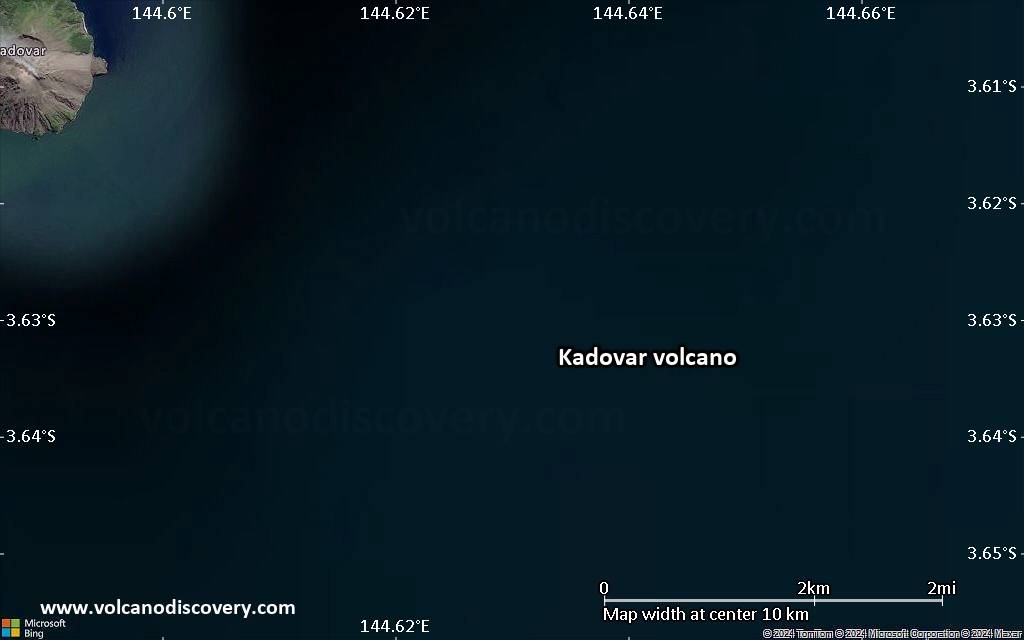
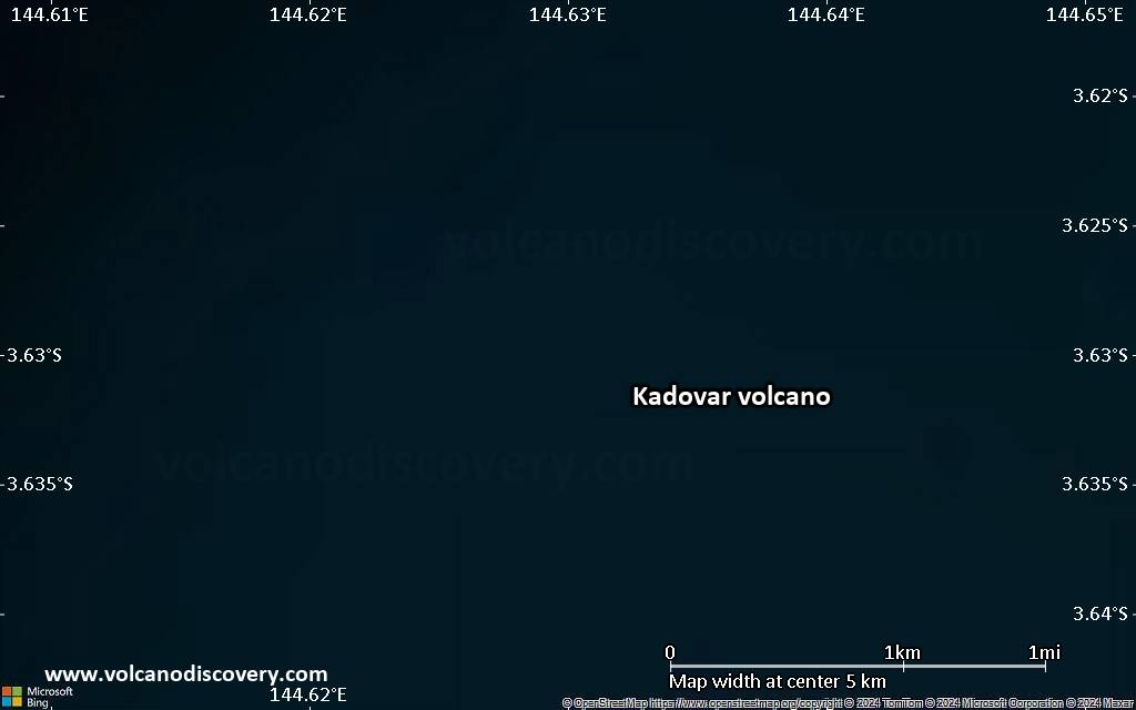
Kadovar Volcano Maps

Below is a selection of maps showing the location and surroundings of the volcano at various resolutions based on aerial-imagery / terrain maps. Feel free to use them for non-commercial purposes on your blog or website as long as you credit them with a link back to this page (click to copy it).
Satellite/aerial-type map of Kadovar volcano (world scale)
Terrain-type map of Kadovar volcano (world scale)
Satellite/aerial-type map of Kadovar volcano (region scale large)
Terrain-type map of Kadovar volcano (region scale large)
Satellite/aerial-type map of Kadovar volcano (region scale medium)
Terrain-type map of Kadovar volcano (region scale medium)
Satellite/aerial-type map of Kadovar volcano (region scale small)
Terrain-type map of Kadovar volcano (region scale small)
Satellite/aerial-type map of Kadovar volcano (local scale large)
Terrain-type map of Kadovar volcano (local scale large)
Satellite/aerial-type map of Kadovar volcano (local scale medium)
Terrain-type map of Kadovar volcano (local scale medium)
Satellite/aerial-type map of Kadovar volcano (local scale small)
Terrain-type map of Kadovar volcano (local scale small)
Satellite/aerial-type map of Kadovar volcano (scale of 10s of km)
Terrain-type map of Kadovar volcano (scale of 10s of km)
Satellite/aerial-type map of Kadovar volcano (scale of 20-40 km)
Terrain-type map of Kadovar volcano (scale of 20-40 km)
Satellite/aerial-type map of Kadovar volcano (scale of approx. 10-20 km)
Terrain-type map of Kadovar volcano (scale of approx. 10-20 km)
Satellite/aerial-type map of Kadovar volcano (scale of 5-10 km)
Satellite/aerial-type map of Kadovar volcano (scale of few kilometers)
Volcanoes & Earthquakes - new app for Android
Guaranteed tours
20 Nov - 3 Dec 2025: Desert, salt and volcanoes - Danakil desert (Ethiopia)
2-10 May 2026: From Stromboli to Etna - Sicily and Eolian Islands (Italy)
= spaces available   = guaranteed   = few spaces left   = booked out

Kadovar volcano (Northeast of New Guinea) - Smithsonian / USGS Weekly Volcanic Activity Report for 3 May-9 May 2023 (New Activity / Unrest)

Wednesday, May 10, 2023 | 2 years ago · VN
Based on satellite and wind model data, the Darwin VAAC reported that at 2040 on 6 May a discrete ash plume from Kadovar rose to an altitude of 4.6 km (15,000 ft) a.s.l. and drifted W. The plume had dissipated by 2300.

Source: Darwin Volcanic Ash Advisory Centre (VAAC)
---
From: Global Volcanism Progra…

On this page:

Try our free app!
Volcanoes & Earthquakes - new app for Android
Android | iOS version

More on VolcanoDiscovery

Why is there advertising on this site?

Support Us – Help Us Enhance Our Services!

We’re passionate about delivering the latest volcano and earthquake data from around the globe — just for you. However, maintaining our website and free apps requires significant time, effort, and resources.
Your support helps us expand our hardware and software capabilities and empowers our dedicated editorial team. Our mission is to provide uninterrupted, real-time updates whenever an earthquake strikes or a volcano erupts — and your donations make this possible. Every contribution, big or small, is deeply appreciated. If you find our information valuable and want to help us add new features, create compelling content, and improve our technology, please consider making a donation:

Donate with PayPal:

Planned Features:

Thanks to your past donations, we have recently added:
Download the Volcanoes & Earthquakes app to stay among the first to receive the fastest seismic and volcano alerts online:
Android | iOS
Thank you for being part of our mission!
Sources: VolcanoDiscovery / VolcanoAdventures and other sources as noted.
Use of material: Most text and images on our websites are owned by us. Re-use is generally not permitted without authorization. Contact us for licensing rights.
Volcanoes & Earthquakes
VolcanoDiscovery Home
Volcanoes | Earthquakes | Photos | Volcano News | | Shop | App
Adventure & Study Travel
Tours to Volcanoes and Volcanic Areas: walking tours, photo tours, study tours
Tours & Dates | FAQ | About us
Get our newsletter!
Company info
Contact | Legal info | Terms & conditions
Follow us
Follow us on facebook Follow us on Instagram Follow us on Bluesky Follow us on Twitter Visit our Youtube channel
EN | DE | EL | ES | FR | IT | RU
VolcanoDiscovery GmbH, Germany, Reg. nr.: HRB 103744, EU Tax Id: DE 297 465 123 owned and created by
Dr. Tom Pfeiffer, volcanologist, volcano photographer, tour organizer member of
IAVCEI
IAVCEI
Vulkanologische Gesellschaft
Volcanological Society
Ecotourism Greece
Ecotourism Greece
RUV insurance
Insured by R+V
VolcanoDiscovery © 2004- All Rights Reserved | Privacy - Cookie Settings