


Kyejo Volcano
Updated: Nov 7, 2025 21:48 GMT -
Stratovolcano
Tanzania, -9.23°S / 33.78°E 
Summit height: 2175 m / 7,136 ft
Current status: normal or dormant (1 out of 5)
[smaller] [larger]
Kyejo volcano eruptions: 1800 (?)
Latest nearby earthquakes
| Date and Time | Mag / Depth | Distance / Location | |||
|---|---|---|---|---|---|
Background
Late-stage activity of the Kyejo (Kieyo) trachytic stratovolcano, NW of Lake Malawi (Lake Nyassa), consisted of the formation of numerous maars and cinder cones. Kyejo stratovolcano, rising to 2175 m, is elongated in a NW-SE direction and has been active since the mid-Pleistocene. Maars, some of which contain lakes, surround the Kyejo area, and young basaltic cinder cones and lava flows cover an extensive area south of Kyejo. The latest eruption around 1800 AD took place from two parasitic tephritic cones, Sarabwe and Fiteko, that were constructed along a NW-trending fissure. The eruption produced lava flows that traveled 8 km and overran several villages.---
Smithsonian / GVP volcano information
Significant volcanic eruptions: Kyejo volcano
In the past 10,000 years, Kyejo has had only one confirmed historic eruption in 1800.
The table below lists all known eruptions (date in bold face) of Kyejo volcano in historic times and during the past 10,000 years. Updates on the most recent volcanic activity of Kyejo can be found on the news page of Kyejo volcano.
| Date | Note | VEI | Deaths | Damage | |
|---|---|---|---|---|---|
| 1800 (eruption | Historical obs./docs. | 2 | 100-1,000 (*) | heavy | Info |
| Sarabwe and Fiteko Historical obs./docs. | 2 | ||||
(*) Estimated numbers
Remark:
Our list of volcanic eruptions closely follows the database of eruptions of the Smithsonian's Global Volcanism Project (GVP), the internationally most recognized data source for volcanic eruptions, but also includes significant eruptive episodes or related volcano events. "Volcanic eruptions" are usually to be understood as sequences of individual eruptive episodes that can follow each other, or even overlap (if several vents are involved), and can last many years, decades or even longer. For example, the current activity of Stromboli volcano is understood as a single eruption that has been ongoing since 1934.
Sources: NOAA National Centers for Environmental Information (NCEI), Global Significant Volcanic Eruptions Database. doi:10.7289/V5TD9V7K | Global Volcanism Project / Smithsonian Institution
Kyejo Volcano FAQ
+When was the last eruption of Kyejo volcano?
The last confirmed eruption of Kyejo occurred in 1800.
+How often does Kyejo volcano erupt?
Since 1800, Kyejo volcano has had at least 1 historically documented eruptions. This means that it erupts on average every 225 years.
+When was the largest eruption of Kyejo volcano?
The largest eruption of Kyejo volcano in historic times occurred in 1800. It ranks as a strombolian to vulcanian eruption with a magnitude 2 on the VEI (Volcanic Explosivity Index) scale.
Latest satellite images
Kyejo Volcano Maps
Below is a selection of maps showing the location and surroundings of the volcano at various resolutions based on aerial-imagery / terrain maps. Feel free to use them for non-commercial purposes on your blog or website as long as you credit them with a link back to this page (click to copy it).
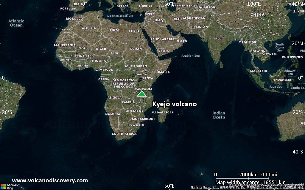
Satellite/aerial-type map of Kyejo volcano (world scale)
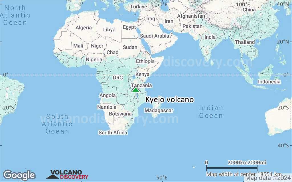
Terrain-type map of Kyejo volcano (world scale)
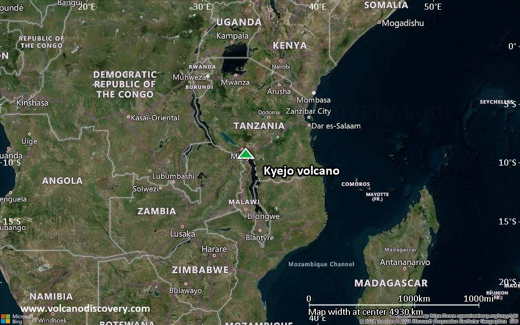
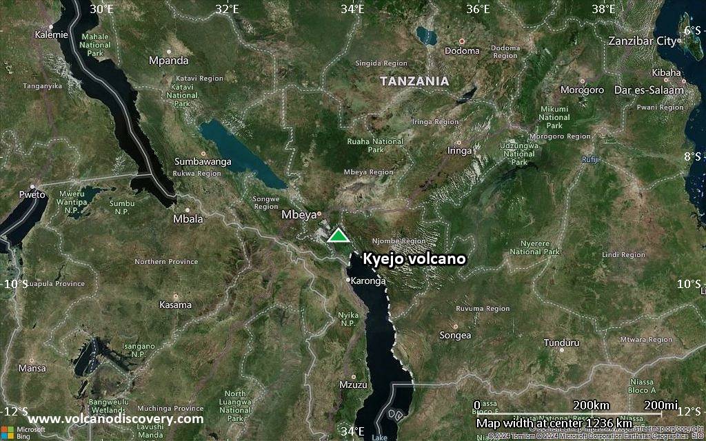
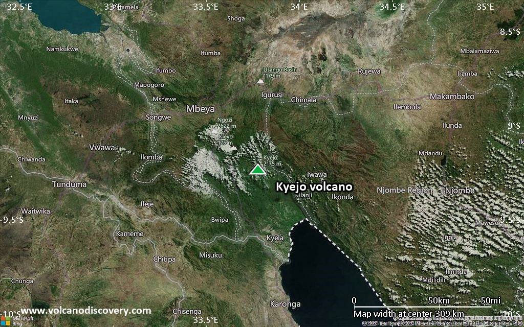
Satellite/aerial-type map of Kyejo volcano (region scale large)
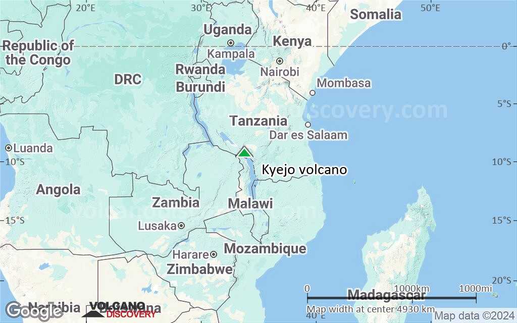
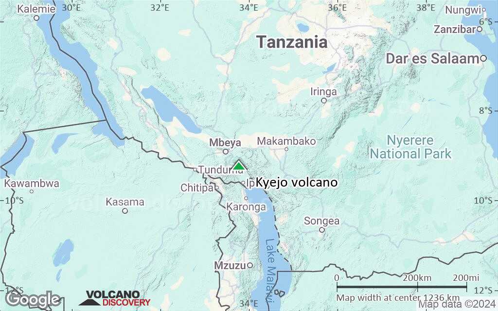
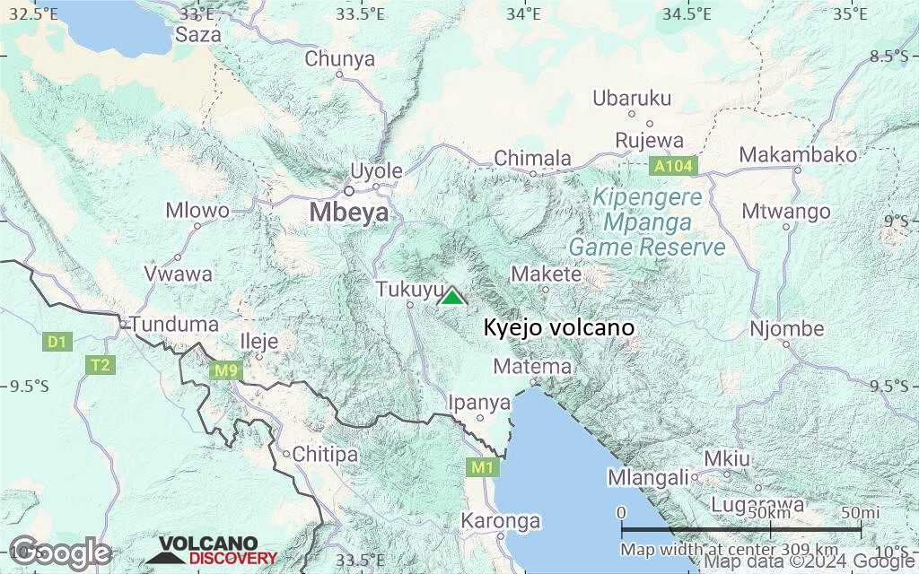
Terrain-type map of Kyejo volcano (region scale large)
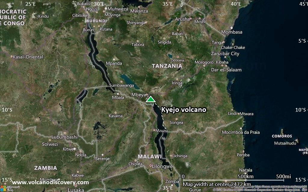
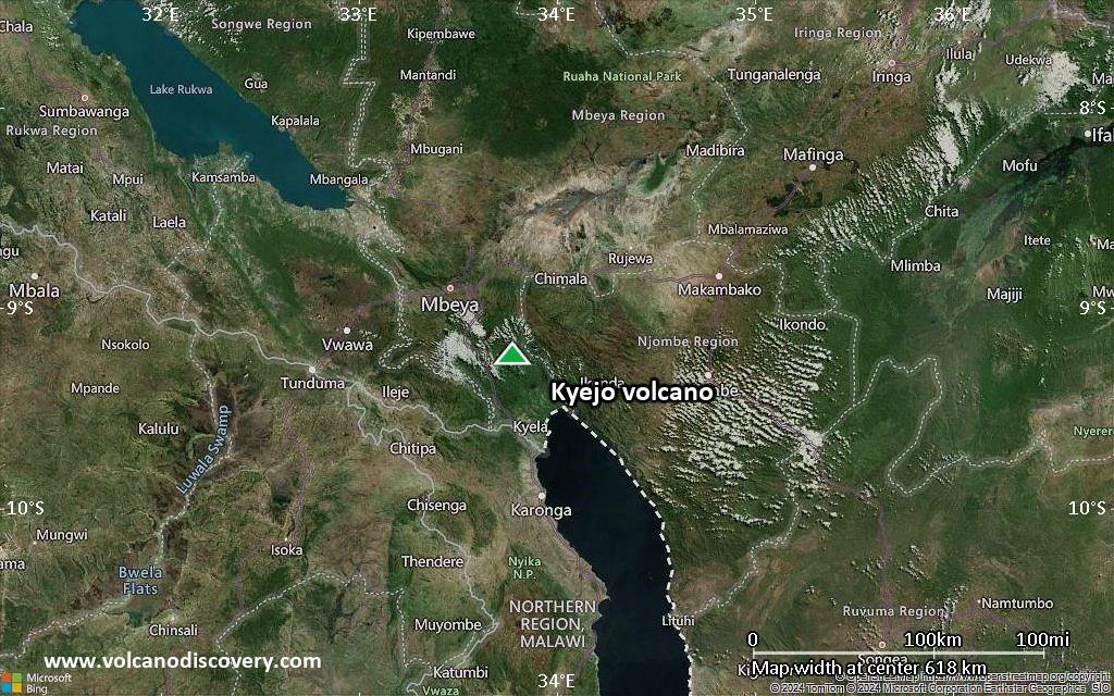
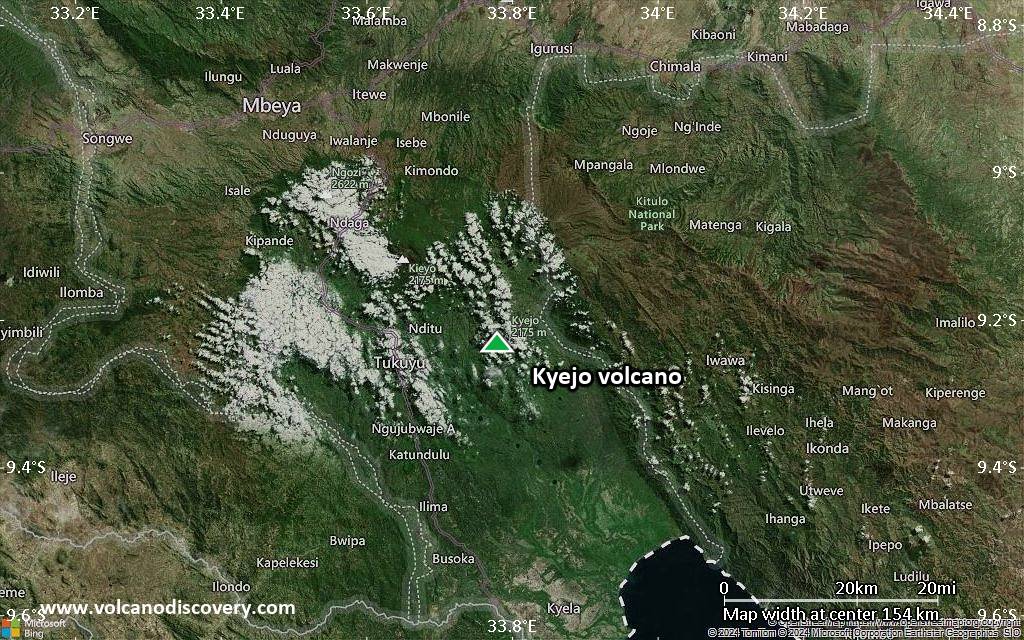
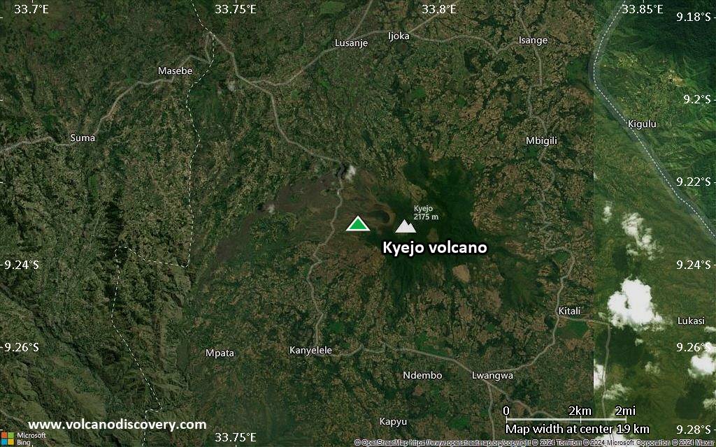
Satellite/aerial-type map of Kyejo volcano (region scale medium)
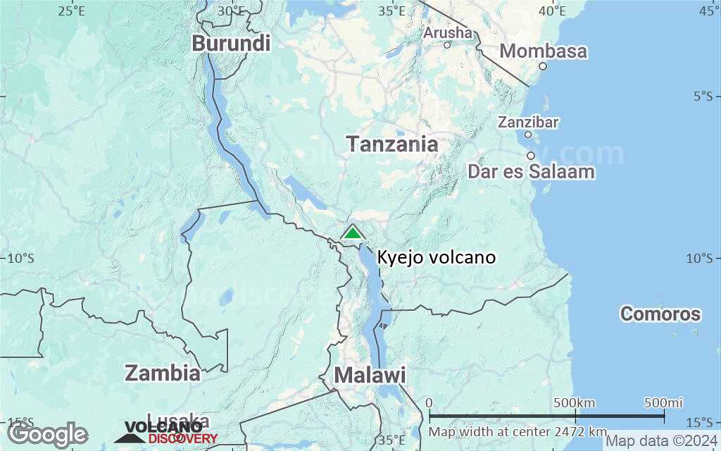
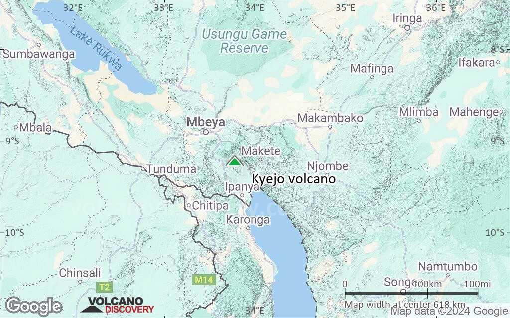
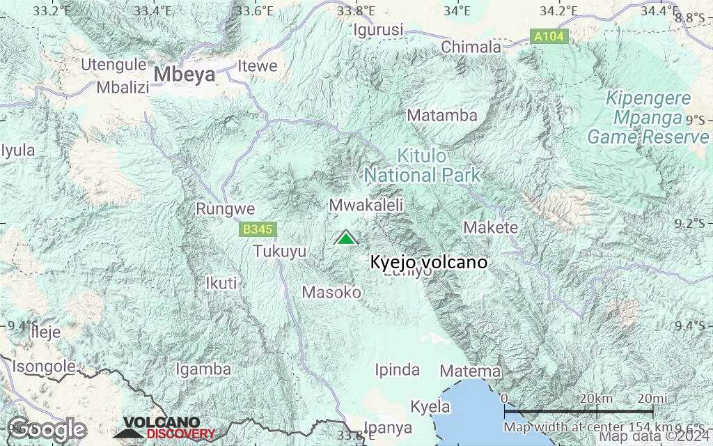
Terrain-type map of Kyejo volcano (region scale medium)
Satellite/aerial-type map of Kyejo volcano (region scale small)
Terrain-type map of Kyejo volcano (region scale small)
Satellite/aerial-type map of Kyejo volcano (local scale large)
Terrain-type map of Kyejo volcano (local scale large)
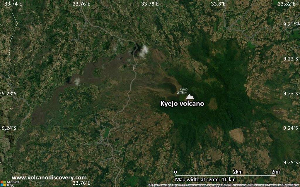
Satellite/aerial-type map of Kyejo volcano (local scale medium)
Terrain-type map of Kyejo volcano (local scale medium)
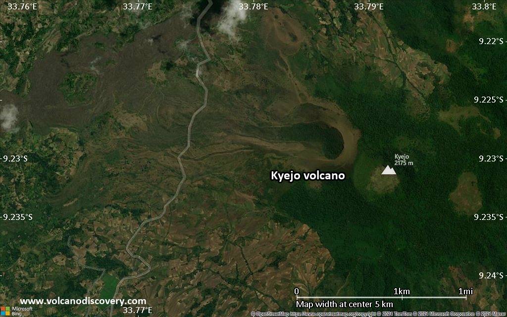
Satellite/aerial-type map of Kyejo volcano (local scale small)
Terrain-type map of Kyejo volcano (local scale small)
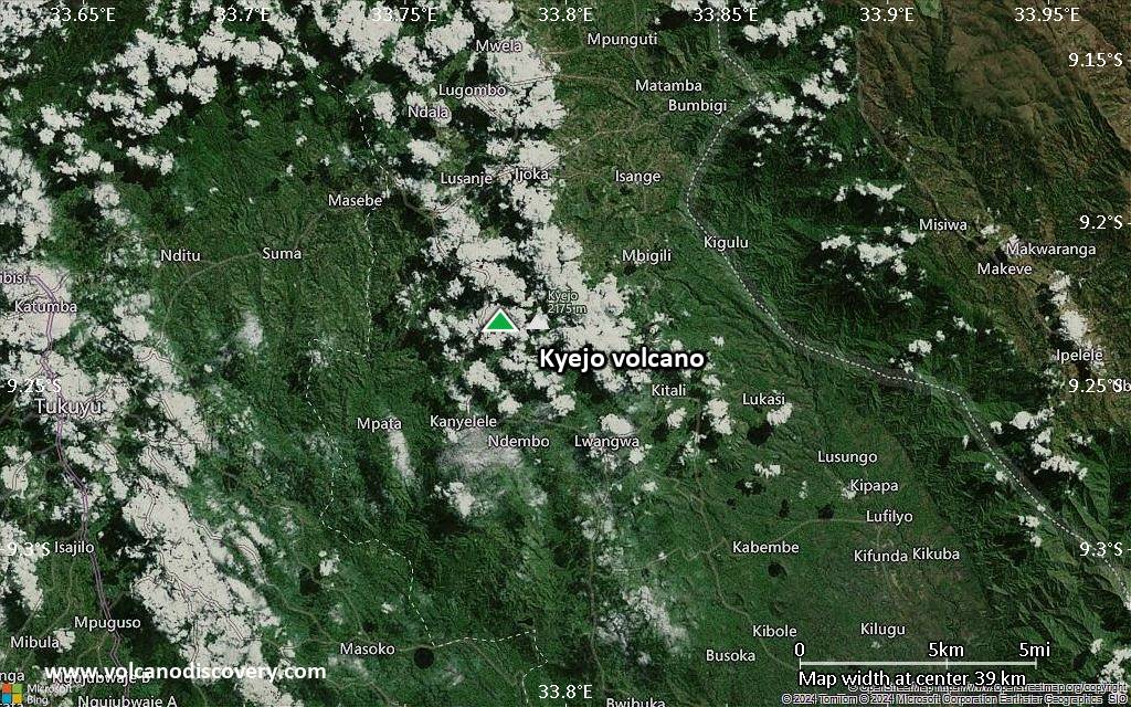
Satellite/aerial-type map of Kyejo volcano (scale of 10s of km)
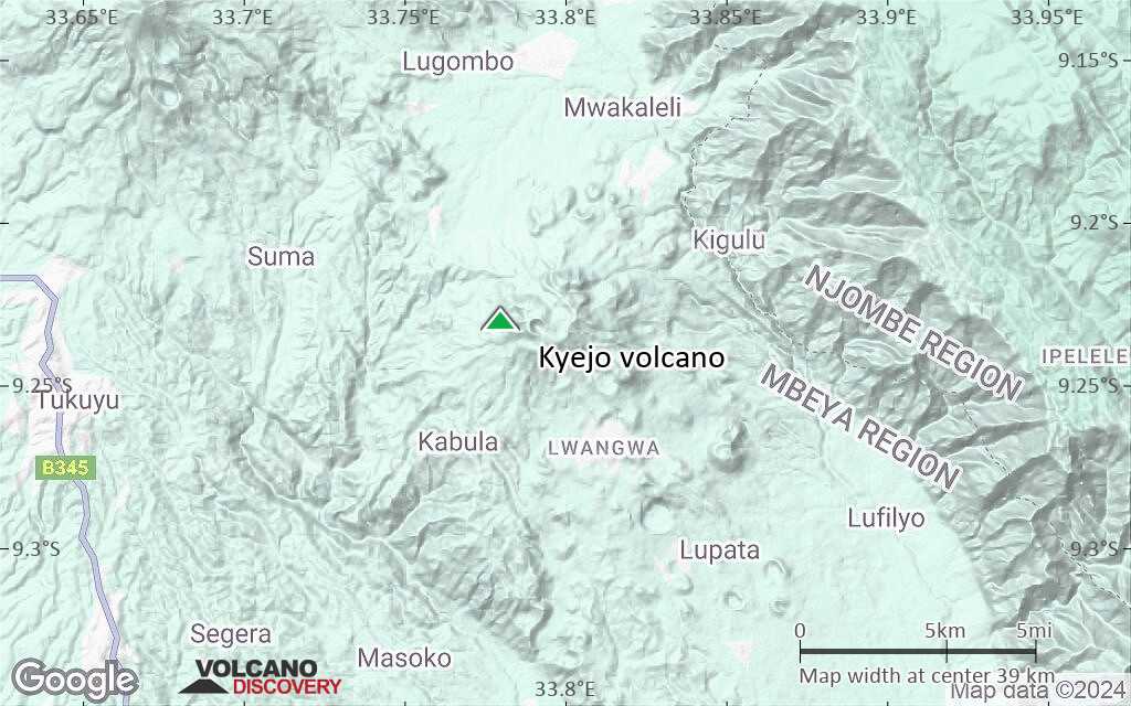
Terrain-type map of Kyejo volcano (scale of 10s of km)
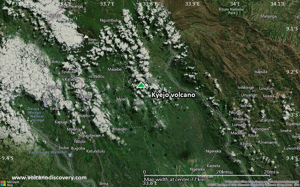
Satellite/aerial-type map of Kyejo volcano (scale of 20-40 km)
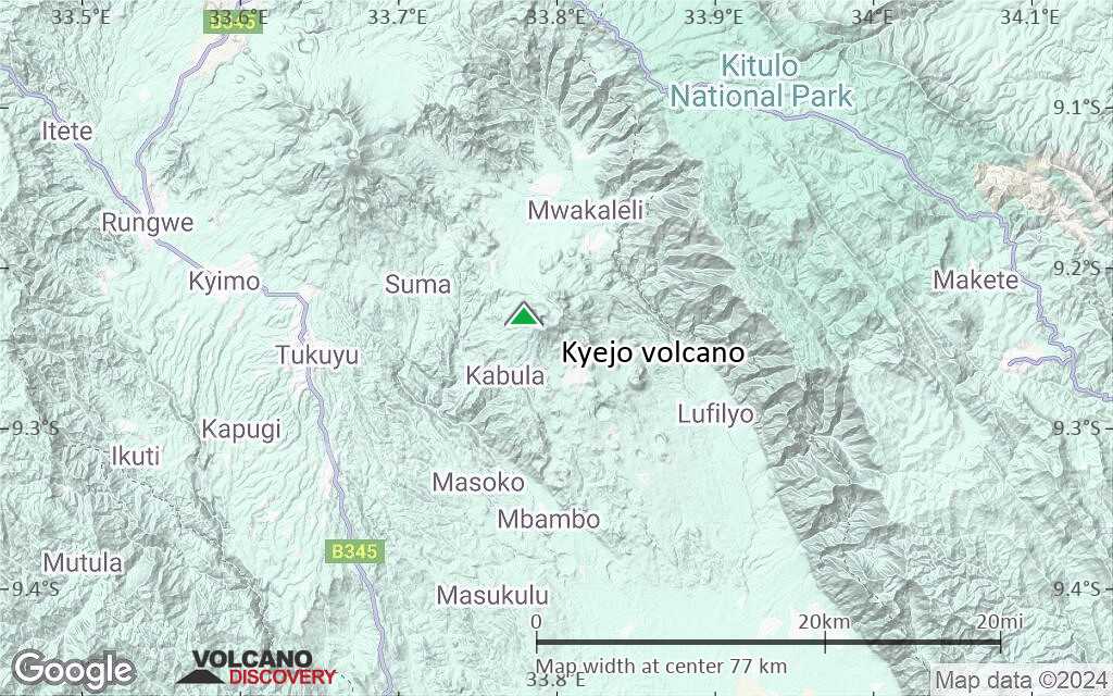
Terrain-type map of Kyejo volcano (scale of 20-40 km)
Satellite/aerial-type map of Kyejo volcano (scale of approx. 10-20 km)

Terrain-type map of Kyejo volcano (scale of approx. 10-20 km)
Satellite/aerial-type map of Kyejo volcano (scale of 5-10 km)
Satellite/aerial-type map of Kyejo volcano (scale of few kilometers)


