


Leroboleng Volcano
Updated: Apr 30, 2025 20:57 GMT -
complex volcano
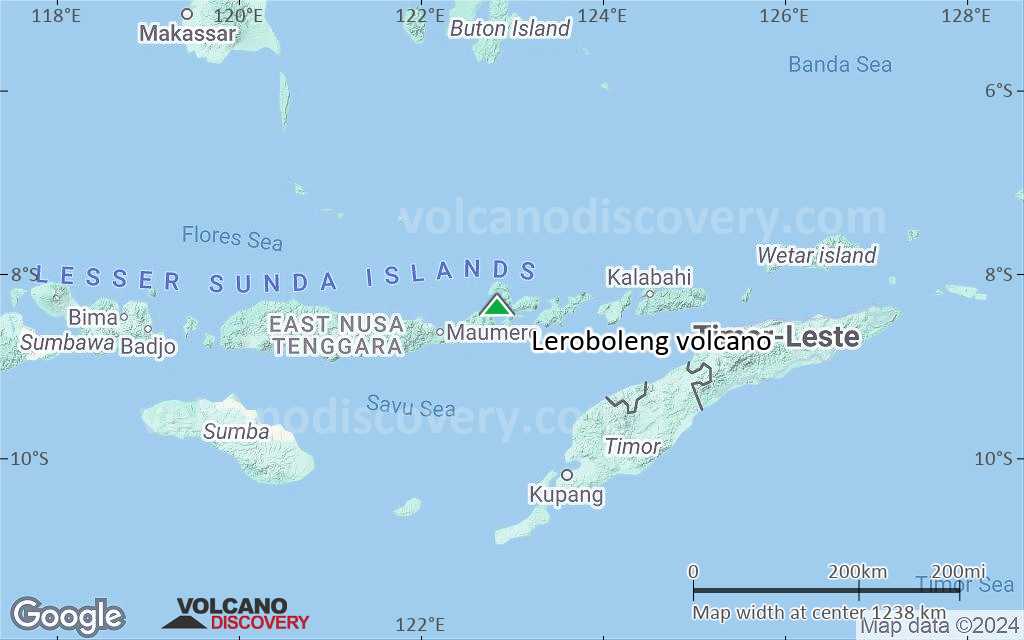
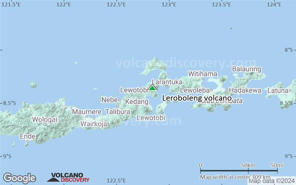
Flores (Indonesia), -8.36°S / 122.84°E 
Summit height: 1117 m / 3,665 ft
Current status: normal or dormant (1 out of 5)
Last update: 9 Dec 2021 (Smithsonian / USGS Weekly Volcanic Activity Report)
Leroboleng volcano (also known as Lereboleng or Lewono) on the eastern end of Flores Island has a complex summit with 29 craters with diameters ranging between 12 and 100 m.
[smaller] [larger]
Leroboleng volcano eruptions: 2003(?), 1881, 1876, 1873
Latest nearby earthquakes
Background
Most of the summit craters are aligned along 3 N-S-trending fissures immediately east of the summit of the volcano. Two craters contain lakes and one contains a lava dome.The largest crater, 250-m-wide Ili Gelimun located SSE of the summit, fed lava flows from a lower south-flank vent. Explosive eruptions occurred from Burak crater during the 19th century.
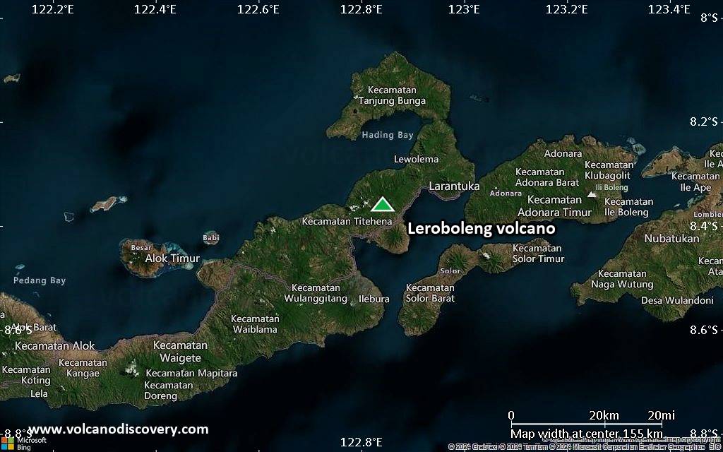
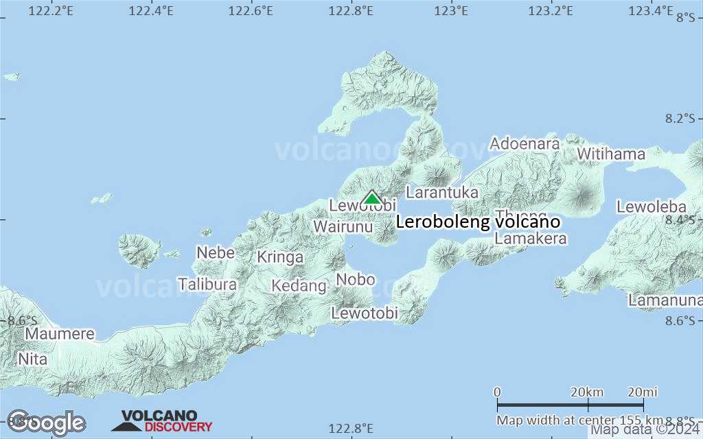
The Leroboleng volcano itself is the easternmost of a 4.5-km-long, WSW-ESE-trending chain of 3 volcanoes forming a narrow peninsula in NE Flores.
Significant volcanic eruptions: Leroboleng volcano
In the past 10,000 years, Leroboleng has had at least 4 confirmed eruptions, all documented by historical records or observations.
The table below lists all known eruptions (date in bold face) of Leroboleng volcano in historic times and during the past 10,000 years. Updates on the most recent volcanic activity of Leroboleng can be found on the news page of Leroboleng volcano.
| Date | Note | VEI | Deaths | Damage | |
|---|---|---|---|---|---|
Historical obs./docs. | 3 | ||||
| Burak (Kawah XXVII) Historical obs./docs. | 2 | ||||
| Burak (Kawah XXVI) Historical obs./docs. | 2 | ||||
| Burak (Kawah XXIV) Historical obs./docs. | 2 | ||||
Remark:
Our list of volcanic eruptions closely follows the database of eruptions of the Smithsonian's Global Volcanism Project (GVP), the internationally most recognized data source for volcanic eruptions, but also includes significant eruptive episodes or related volcano events. "Volcanic eruptions" are usually to be understood as sequences of individual eruptive episodes that can follow each other, or even overlap (if several vents are involved), and can last many years, decades or even longer. For example, the current activity of Stromboli volcano is understood as a single eruption that has been ongoing since 1934.
Sources: NOAA National Centers for Environmental Information (NCEI), Global Significant Volcanic Eruptions Database. doi:10.7289/V5TD9V7K | Global Volcanism Project / Smithsonian Institution
Eruptions of Leroboleng volcano
2003 eruption
Qantas airline pilots reported a small ash plume from Leroboleng volcano reaching 6000 ft (2000 m) elevation on 26th June 2003. Another, more powerful eruption was reported by air crews on 29th July 2003. It was said to have lasted 10 minutes and sending ash to an altitude of 7.3 km. There were no ground reports nor satellite data to supporting these eruption reports, but that is not unusual for many volcanoes in remote areas.
Qantas airline pilots reported a small ash plume from Leroboleng volcano reaching 6000 ft (2000 m) elevation on 26th June 2003. Another, more powerful eruption was reported by air crews on 29th July 2003. It was said to have lasted 10 minutes and sending ash to an altitude of 7.3 km. There were no ground reports nor satellite data to supporting these eruption reports, but that is not unusual for many volcanoes in remote areas.
Leroboleng Volcano FAQ
+When was the last eruption of Leroboleng volcano?
The last confirmed eruption of Leroboleng occurred in 2003.
+How often does Leroboleng volcano erupt?
Since 1873, Leroboleng volcano has had at least 4 historically documented eruptions. This means that it erupts on average every 38 years.
+How active is Leroboleng volcano at present?
Leroboleng volcano is occasionally active: Since 1900, it has had one eruption, which occurred in 2003.
+When was the largest eruption of Leroboleng volcano?
The largest eruption of Leroboleng volcano in historic times occurred in 2003. It ranks as a "vulcanian" eruption with a magnitude 3 on the VEI (Volcanic Explosivity Index) scale.
Latest satellite images

Leroboleng Volcano Maps
Below is a selection of maps showing the location and surroundings of the volcano at various resolutions based on aerial-imagery / terrain maps. Feel free to use them for non-commercial purposes on your blog or website as long as you credit them with a link back to this page (click to copy it).
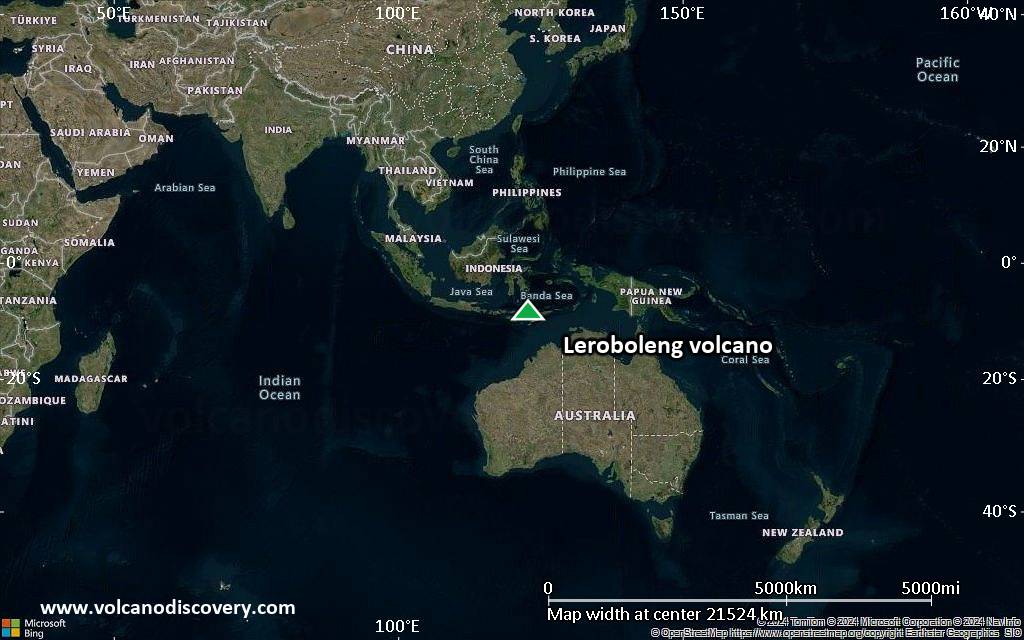
Satellite/aerial-type map of Leroboleng volcano (world scale)
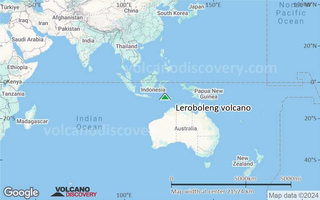
Terrain-type map of Leroboleng volcano (world scale)
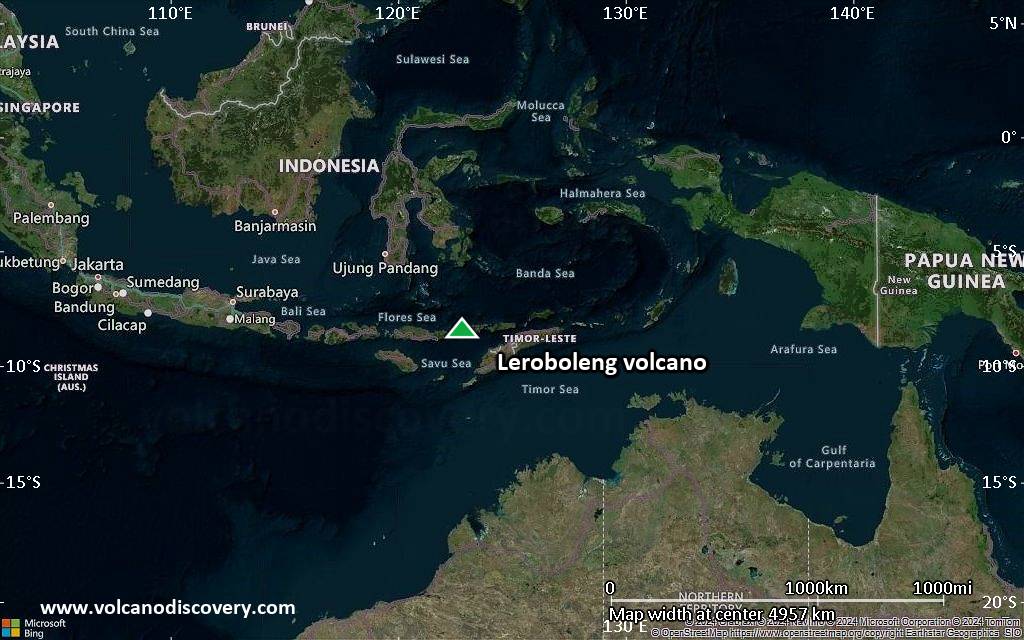
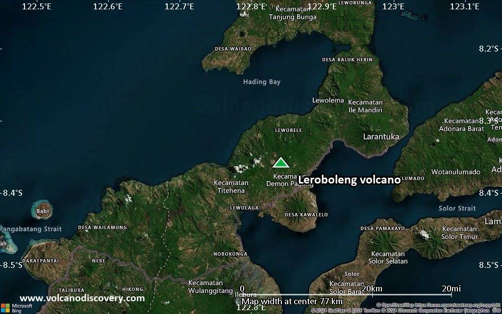
Satellite/aerial-type map of Leroboleng volcano (region scale large)

Terrain-type map of Leroboleng volcano (region scale large)

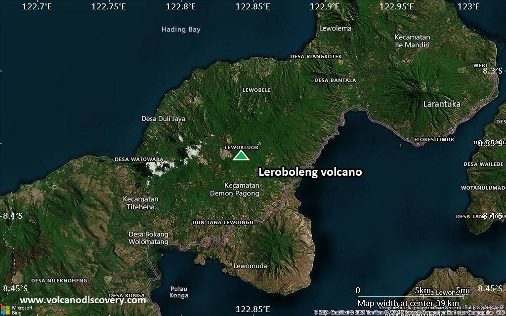
Satellite/aerial-type map of Leroboleng volcano (region scale medium)

Terrain-type map of Leroboleng volcano (region scale medium)

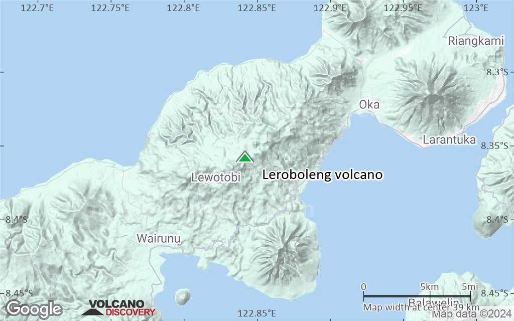
Satellite/aerial-type map of Leroboleng volcano (region scale small)
Terrain-type map of Leroboleng volcano (region scale small)

Satellite/aerial-type map of Leroboleng volcano (local scale large)

Terrain-type map of Leroboleng volcano (local scale large)

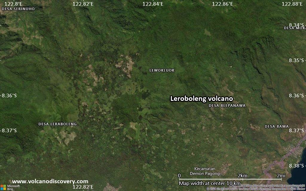
Satellite/aerial-type map of Leroboleng volcano (local scale medium)
Terrain-type map of Leroboleng volcano (local scale medium)
Satellite/aerial-type map of Leroboleng volcano (local scale small)
Terrain-type map of Leroboleng volcano (local scale small)
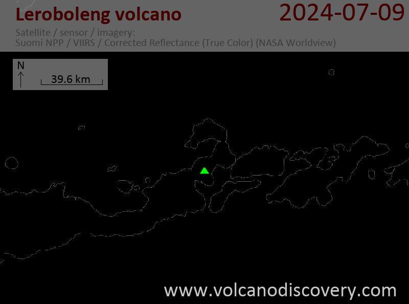
Satellite/aerial-type map of Leroboleng volcano (scale of 10s of km)

Terrain-type map of Leroboleng volcano (scale of 10s of km)
Satellite/aerial-type map of Leroboleng volcano (scale of 20-40 km)
Terrain-type map of Leroboleng volcano (scale of 20-40 km)

Satellite/aerial-type map of Leroboleng volcano (scale of approx. 10-20 km)

Terrain-type map of Leroboleng volcano (scale of approx. 10-20 km)
Satellite/aerial-type map of Leroboleng volcano (scale of 5-10 km)

Satellite/aerial-type map of Leroboleng volcano (scale of few kilometers)


