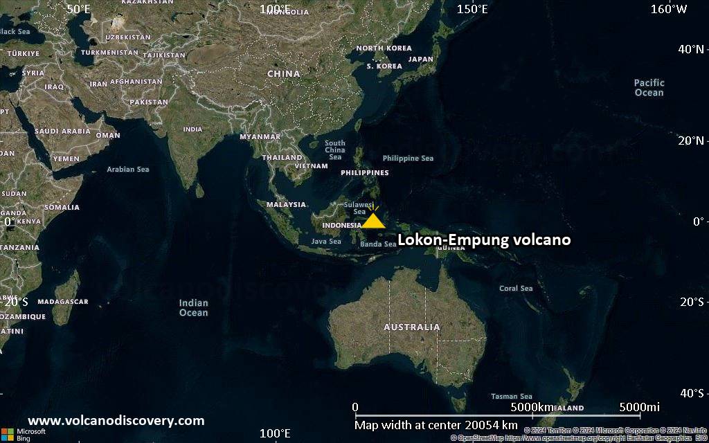
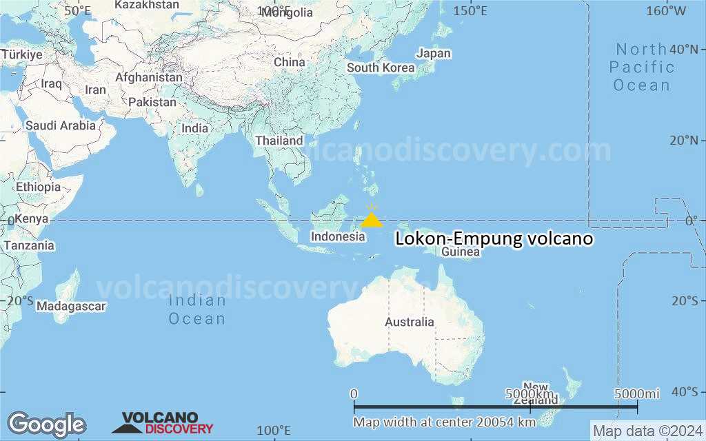
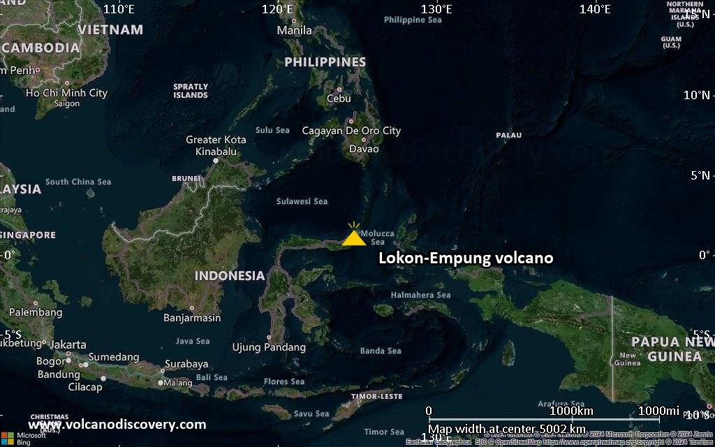
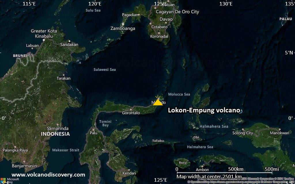
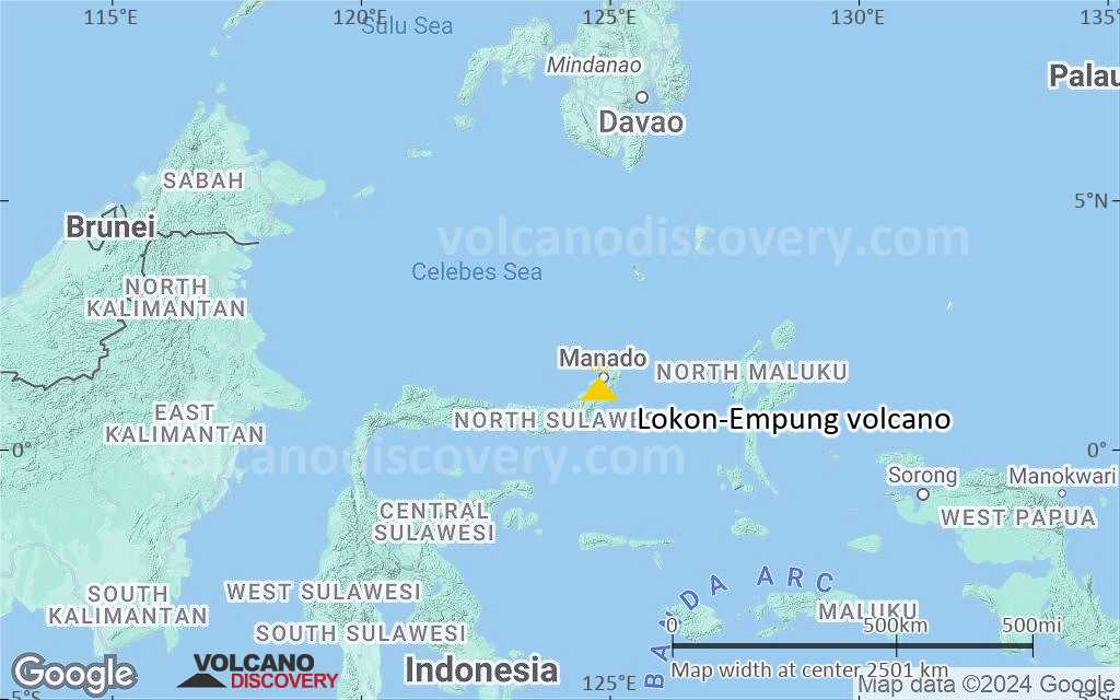
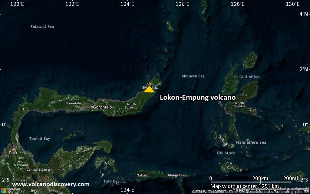
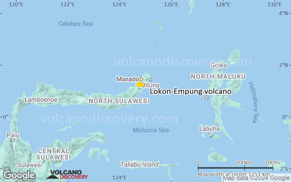
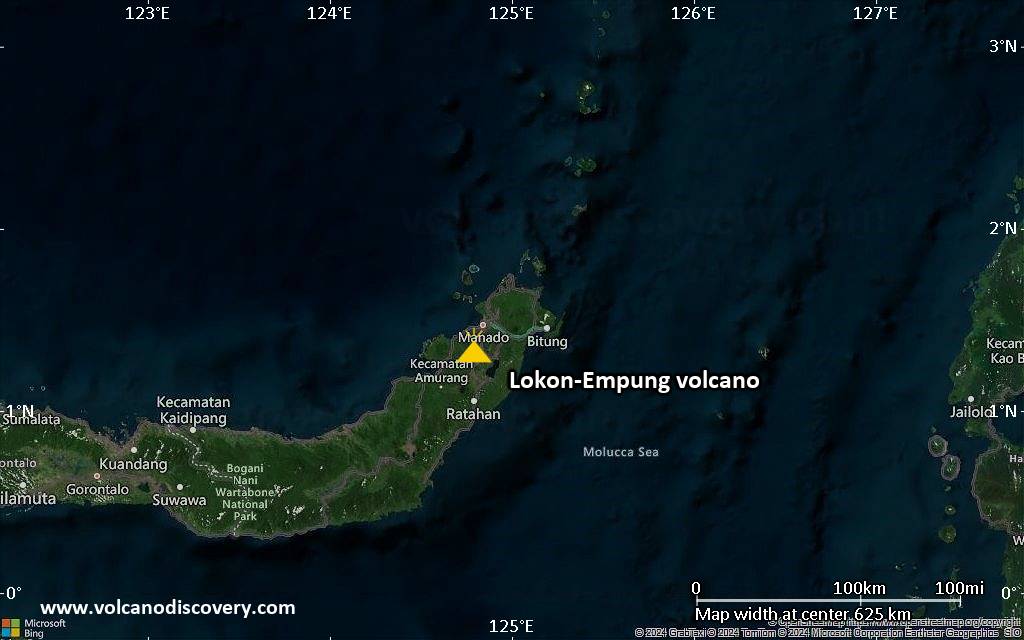
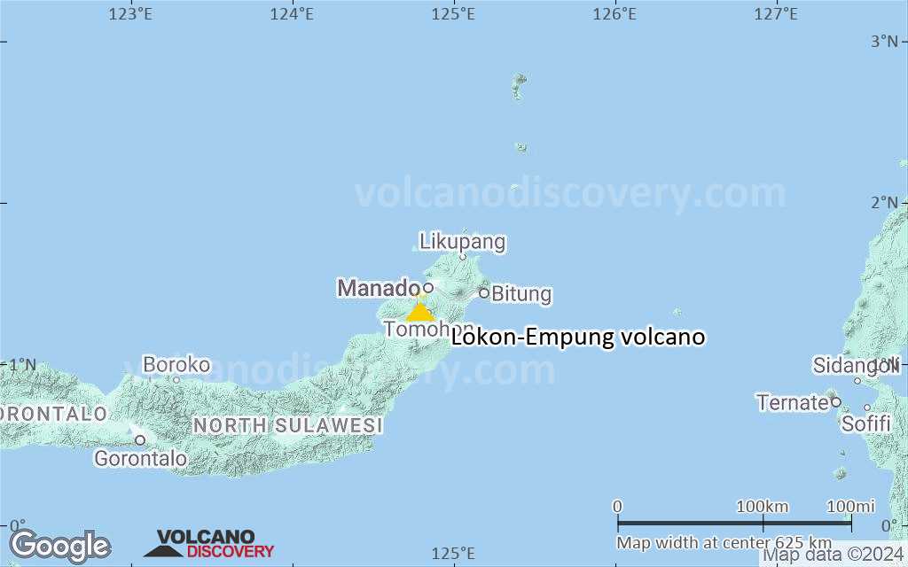
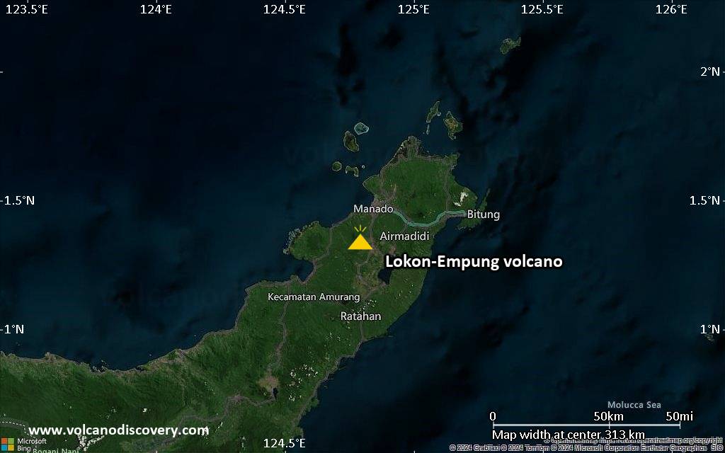
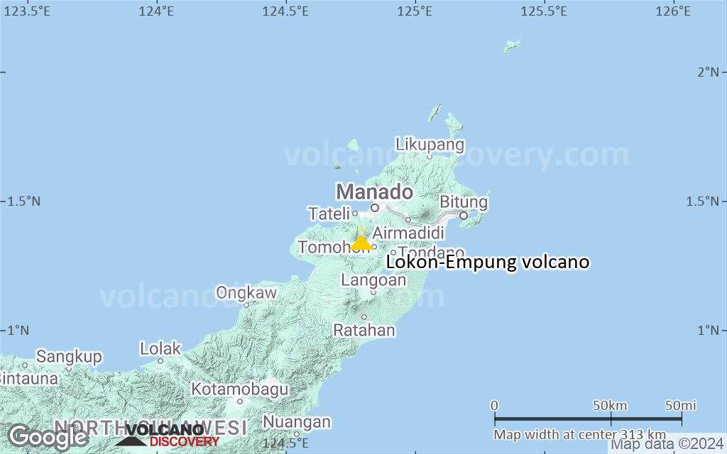
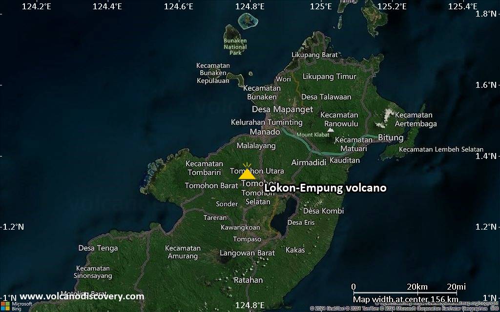
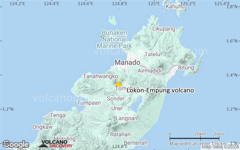
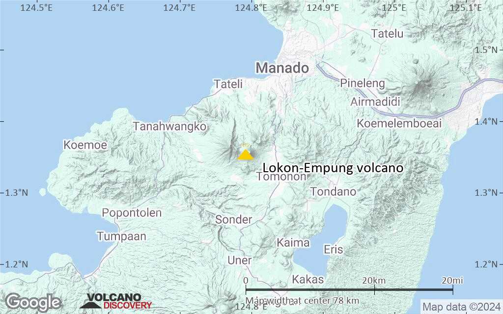
Lokon-Empung Volcano
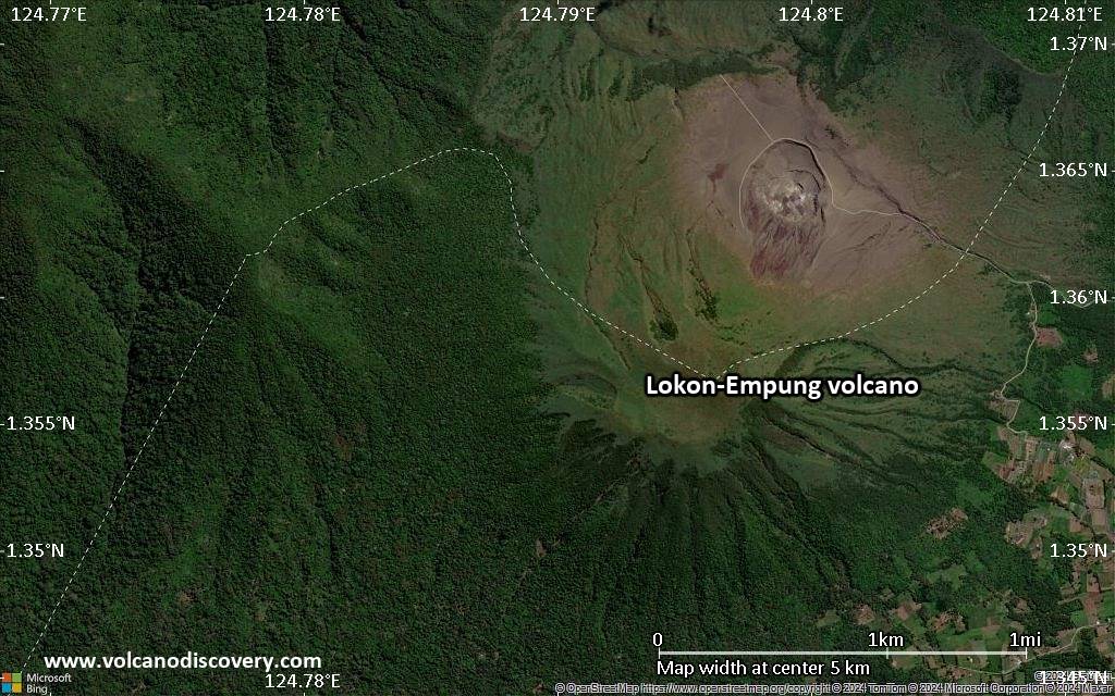
The twin volcanoes Lokon and Empung, rising about 800 m above the plain of Tondano, are among the most active volcanoes of Sulawesi.
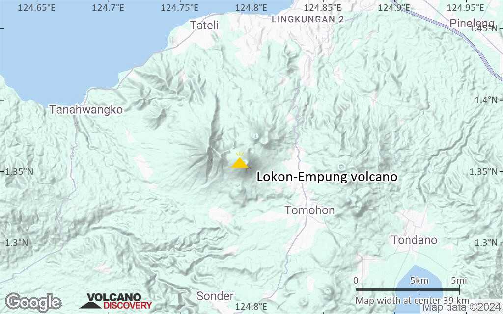
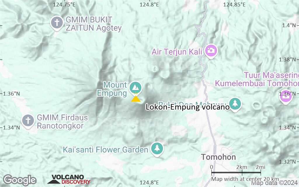
Lokon, the higher of the two peaks (whose summits are only 2.2 km apart), has a flat, craterless top. The younger Empung volcano has a 400-m-wide, 150-m-deep crater that erupted last in the 18th century, but all subsequent eruptions have originated from Tompaluan, a 150 x 250 m wide double crater situated in the saddle between the two peaks.
Historical eruptions have primarily produced small-to-moderate ash plumes that have occasionally damaged croplands and houses, but lava-dome growth and pyroclastic flows have also occurred.
Lokon-Empung volcano eruptions: 1375, 1775, 1829, 1893-94, 1930, 1942, 1948, 1951-53, 1958-59, 1961, 1962, 1963-64, 1965, 1966, 1969-70, 1971, 1973-74, 1975-80, 1984(?), 1986-87, 1988, 1991-92, 2000-01, 2002, 2002-03, 2011, 2011-12, 2012-13, 2015
Latest nearby earthquakes
| Date and Time | Mag / Depth | Distance / Location | |||
|---|---|---|---|---|---|
Lokon-Empung Volcano Photos


Significant volcanic eruptions: Lokon-Empung volcano
| Date | Note | VEI | Deaths | Damage | |
|---|---|---|---|---|---|
| Tompaluan Historical obs./docs. | 2 | ||||
| Tompaluan Historical obs./docs. | 1 | ||||
| Tompaluan Historical obs./docs. | 2 | ||||
| Tompaluan Historical obs./docs. | 2 | ||||
| 2011 Jul 17 (eruptive episode | Historical obs./docs. | 0 | 1 | Info | |
| Tompaluan Historical obs./docs. | 1 | ||||
| Tompaluan Historical obs./docs. | 3 | ||||
| Tompaluan Historical obs./docs. | 2 | ||||
| Tompaluan Historical obs./docs. | 2 | ||||
| Tompaluan Historical obs./docs. | 2 | ||||
| Tompaluan Historical obs./docs. | 3 | ||||
| 1991 Oct 24 (eruption | Historical obs./docs. | 1 | 1 | Info | |
| Tompaluan Historical obs./docs. | 1 | ||||
| Tompaluan Historical obs./docs. | 2 | ||||
?? | Uncertain Eruption | 1 | |||
| Tompaluan Historical obs./docs. | 2 | ||||
| Tompaluan Historical obs./docs. | 1 | ||||
| Tompaluan Historical obs./docs. | 2 | ||||
| Tompaluan Historical obs./docs. | 2 | ||||
| Tompaluan Historical obs./docs. | 2 | ||||
| Tompaluan Historical obs./docs. | 1 | ||||
| Tompaluan Historical obs./docs. | 2 | ||||
| Tompaluan Historical obs./docs. | 1 | ||||
| Tompaluan Historical obs./docs. | 2 | ||||
| Tompaluan Historical obs./docs. | 2 | ||||
| Tompaluan Historical obs./docs. | 3 | ||||
| Tompaluan Historical obs./docs. | 1 | ||||
| Tompaluan Historical obs./docs. | 2 | ||||
| Tompaluan Historical obs./docs. | 2 | ||||
Lokon-Empung Volcano FAQ
+When was the last eruption of Lokon-Empung volcano?
The last confirmed eruption of Lokon-Empung occurred in 2015.
+How often does Lokon-Empung volcano erupt?
Since 1375 AD, Lokon-Empung volcano has had at least 30 historically documented eruptions. This means that it erupts on average every 21.7 years.
Many eruptions of Lokon-Empung have lasted more than one year. In total, the volcano has been in eruption during 43 out of 650 years until now. In other words, Lokon-Empung has been active at least one in 15.1 years on average. Note that this value is likely an underestimate, because the known history of eruptions from Lokon-Empung is likely incomplete, especially further back in time.
+How active is Lokon-Empung volcano at present?
Lokon-Empung volcano is very active: Since 1900, it has had 38 eruptions, and been active during 38 years out of 126 as of now. This means, Lokon-Empung has been in eruption one in 3.3 years on average. The last eruption was in 2015 and ended 10 years ago.
+When was the largest eruption of Lokon-Empung volcano?
The largest eruption of Lokon-Empung volcano in historic times occurred in 2003. It ranks as a "vulcanian" eruption with a magnitude 3 on the VEI (Volcanic Explosivity Index) scale.
Latest satellite images
Price 3570 €
Lokon-Empung Volcano Maps