


Manzaz Volcanic Field Volcano
Updated: Jul 6, 2025 16:48 GMT -
Scoria cones
Algeria, 23.92°N / 5.83°E 
Summit height: 1672 m / 5,485 ft
Current status: normal or dormant (1 out of 5)
[smaller] [larger]
Manzaz Volcanic Field volcano eruptions: unknown, no recent eruptions
Latest nearby earthquakes
| Date and Time | Mag / Depth | Distance / Location | |||
|---|---|---|---|---|---|
Background
The Manzaz volcanic field, north of the Atakor volcanic field in the Hoggar (Ahaggar) volcanic district of Algeria, consists of a large number of scoria cones and associated lava flows. The volcanic field covers an area of 1500 sq km, overlying Precambrian metamorphic and plutonic rocks of the Tuareg shield. Many cones are breached, and the dominantly basaltic and basanitic volcanic products are rich in peridotite and pyroxenite xenoliths and megacrysts. The youngest volcanoes rest on Neolithic terraces and are of Holocene age.---
Smithsonian / GVP volcano information
Latest satellite images
Manzaz Volcanic Field Volcano Maps
Below is a selection of maps showing the location and surroundings of the volcano at various resolutions based on aerial-imagery / terrain maps. Feel free to use them for non-commercial purposes on your blog or website as long as you credit them with a link back to this page (click to copy it).

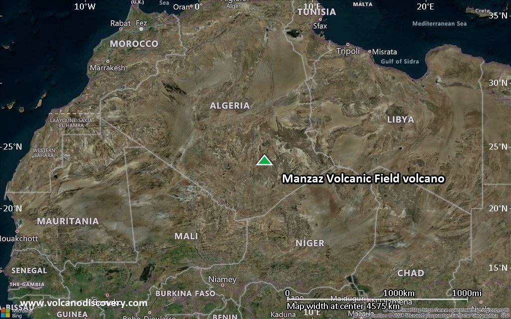
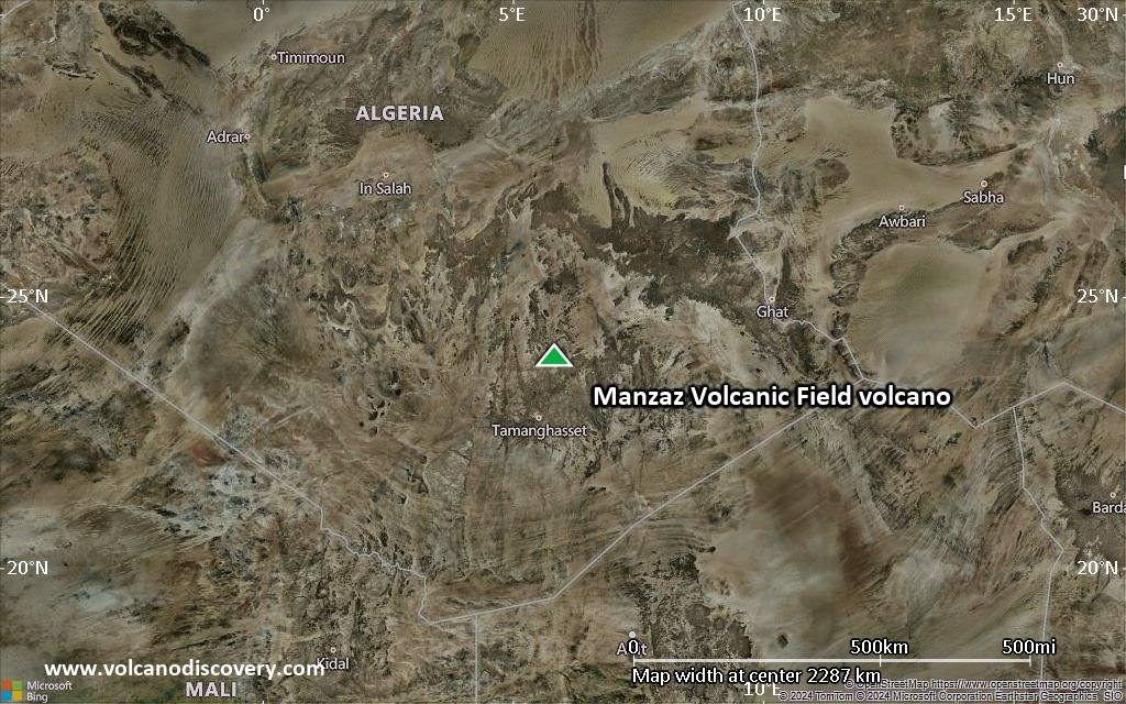
Satellite/aerial-type map of Manzaz Volcanic Field volcano (world scale)

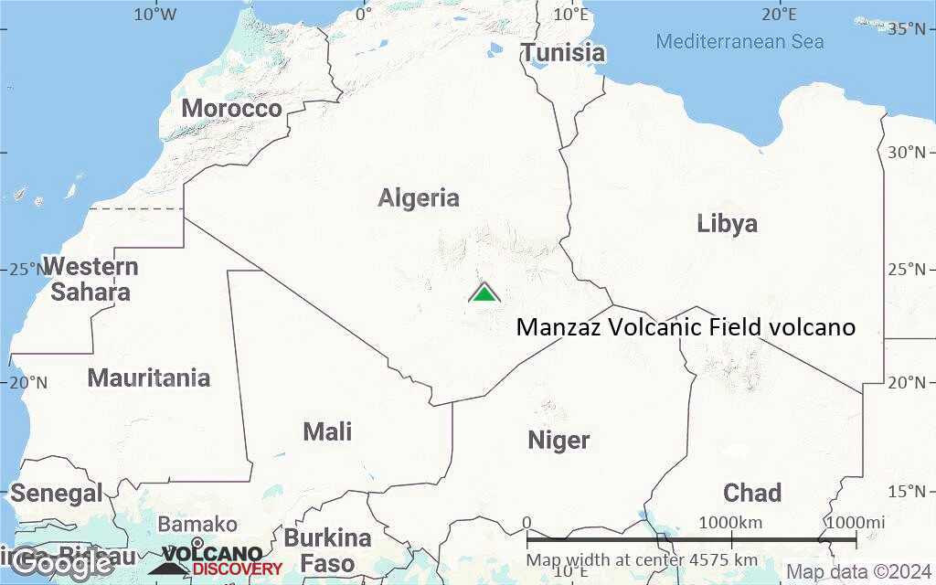
Terrain-type map of Manzaz Volcanic Field volcano (world scale)
Satellite/aerial-type map of Manzaz Volcanic Field volcano (region scale large)
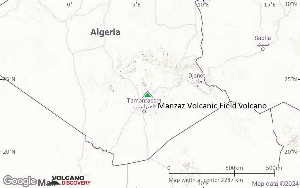
Terrain-type map of Manzaz Volcanic Field volcano (region scale large)
Satellite/aerial-type map of Manzaz Volcanic Field volcano (region scale medium)
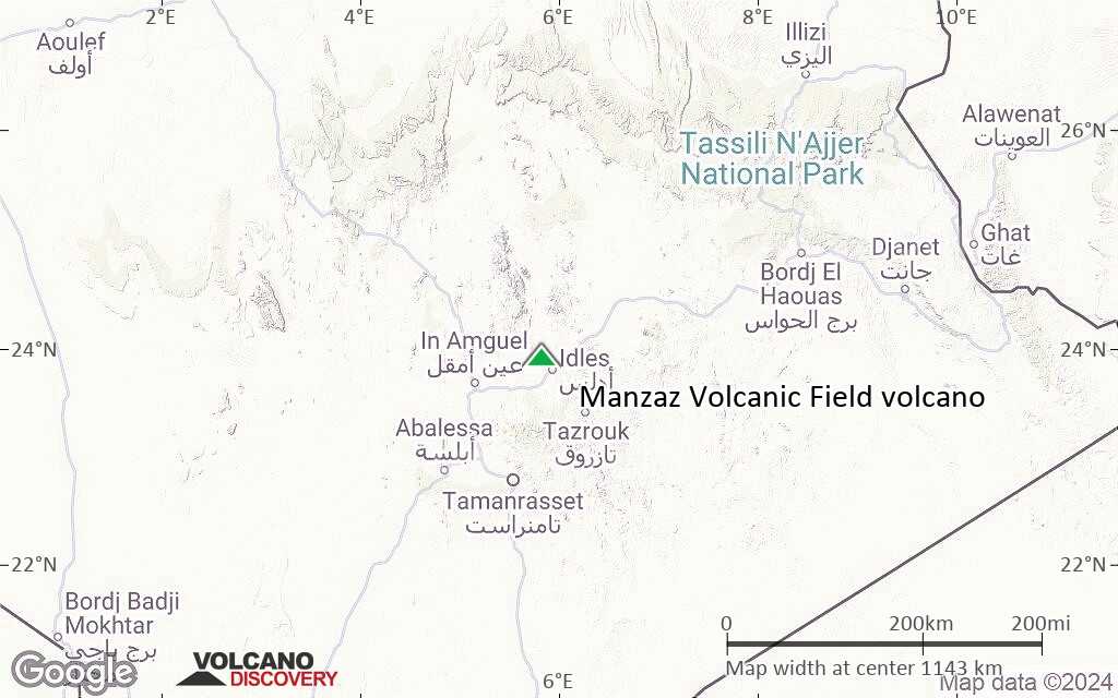
Terrain-type map of Manzaz Volcanic Field volcano (region scale medium)

Satellite/aerial-type map of Manzaz Volcanic Field volcano (region scale small)
Terrain-type map of Manzaz Volcanic Field volcano (region scale small)

Satellite/aerial-type map of Manzaz Volcanic Field volcano (local scale large)

Terrain-type map of Manzaz Volcanic Field volcano (local scale large)

Satellite/aerial-type map of Manzaz Volcanic Field volcano (local scale medium)

Terrain-type map of Manzaz Volcanic Field volcano (local scale medium)
Satellite/aerial-type map of Manzaz Volcanic Field volcano (local scale small)

Terrain-type map of Manzaz Volcanic Field volcano (local scale small)

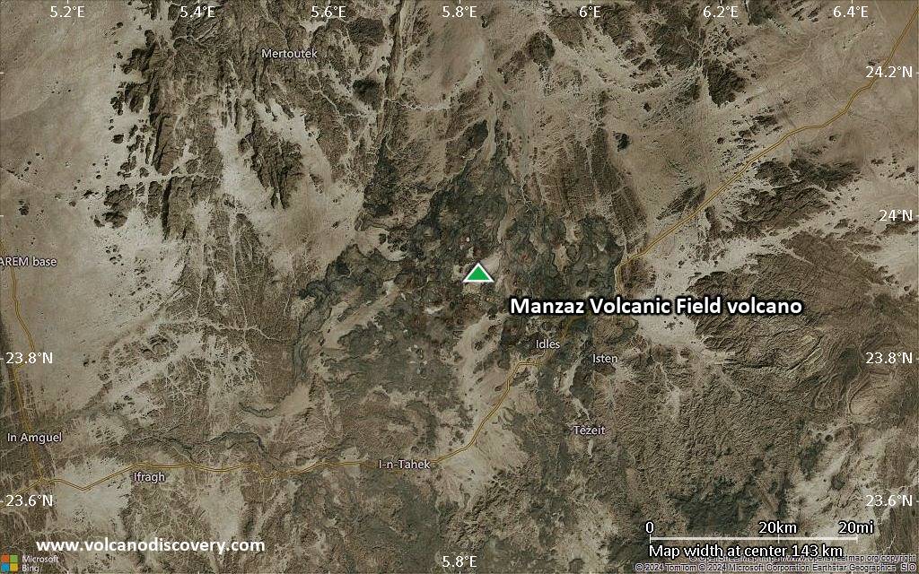
Satellite/aerial-type map of Manzaz Volcanic Field volcano (scale of 10s of km)

Terrain-type map of Manzaz Volcanic Field volcano (scale of 10s of km)

Satellite/aerial-type map of Manzaz Volcanic Field volcano (scale of 20-40 km)
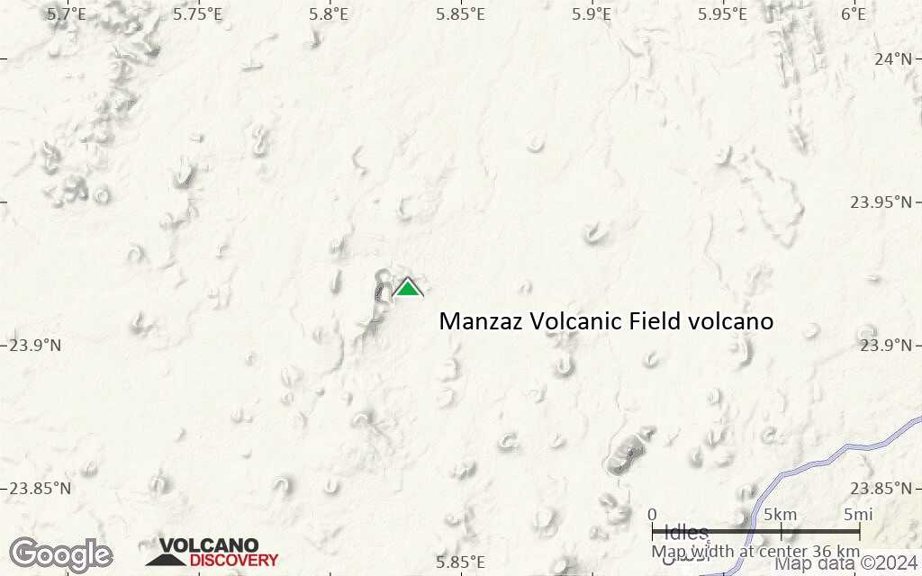
Terrain-type map of Manzaz Volcanic Field volcano (scale of 20-40 km)

Satellite/aerial-type map of Manzaz Volcanic Field volcano (scale of approx. 10-20 km)

Terrain-type map of Manzaz Volcanic Field volcano (scale of approx. 10-20 km)

Satellite/aerial-type map of Manzaz Volcanic Field volcano (scale of 5-10 km)

Satellite/aerial-type map of Manzaz Volcanic Field volcano (scale of few kilometers)


