Marsabit Volcano
Updated: Jul 8, 2025 21:49 GMT -
Shield volcano
Kenya, 2.32°N / 37.97°E 
Summit height: 1707 m / 5,600 ft
Current status: (probably) extinct (0 out of 5)
[smaller] [larger]
Marsabit volcano eruptions: unknown, no recent eruptions
Latest nearby earthquakes
| Date and Time | Mag / Depth | Distance / Location | |||
|---|---|---|---|---|---|
Background
Marsabit is a massive, 6300 sq km basaltic shield volcano located 170 km east of the center of the East African Rift. Its slopes are dotted with 22 maars and 180 cinder cones, most of which are concentrated along NW- and NE-trending belts that cut across the thickly vegetated summit region. The main phase of shield construction occurred during the Pliocene. Quaternary activity shifted to explosive activity that formed maars accompanied by further extensive effusion of lava flows. The youngest dated lava flow at Marsabit has a Potassium-Argon age of 0.68 +/- 0.16 million years ago, but more recent activity has also occurred. The youngest lava flows are unvegetated, and Key (1987) mapped the post-shield cinder cones as Pleistocene to Recent in age.---
Smithsonian / GVP volcano information
Marsabit Volcano Photos
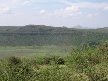
Caldera Gof Choba, Chalbi Desert/ Marsabit National Reserve, near Marsabit, Northern Kenya (Photo: WNomad)
Latest satellite images

Marsabit Volcano Maps
Below is a selection of maps showing the location and surroundings of the volcano at various resolutions based on aerial-imagery / terrain maps. Feel free to use them for non-commercial purposes on your blog or website as long as you credit them with a link back to this page (click to copy it).
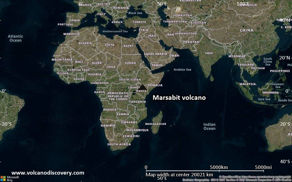
Satellite/aerial-type map of Marsabit volcano (world scale)
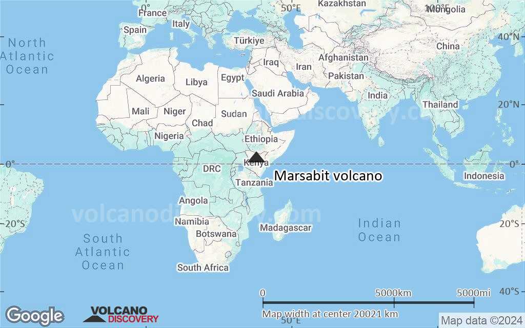
Terrain-type map of Marsabit volcano (world scale)

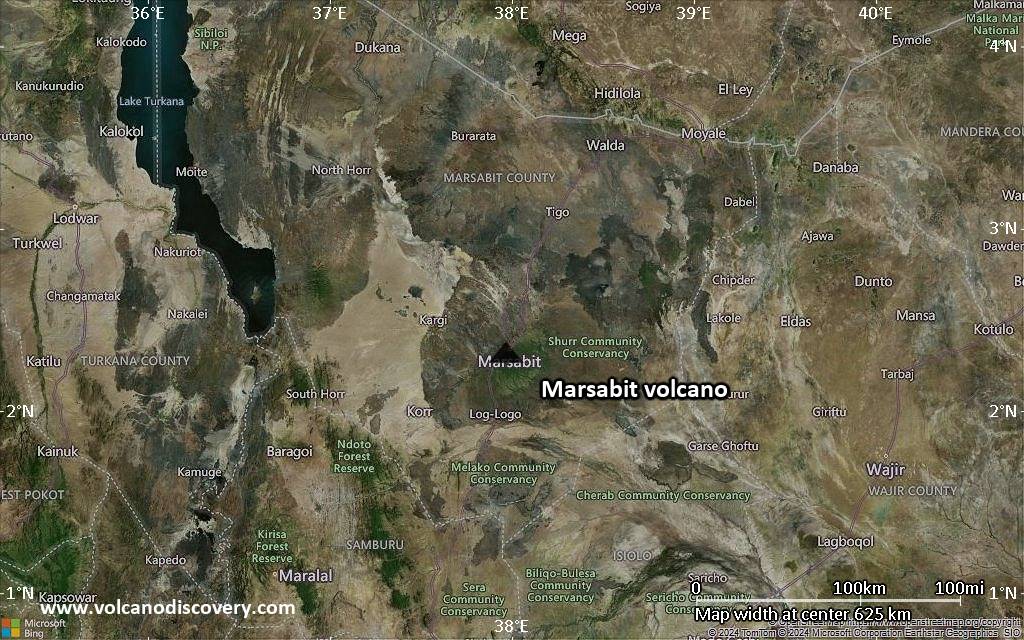
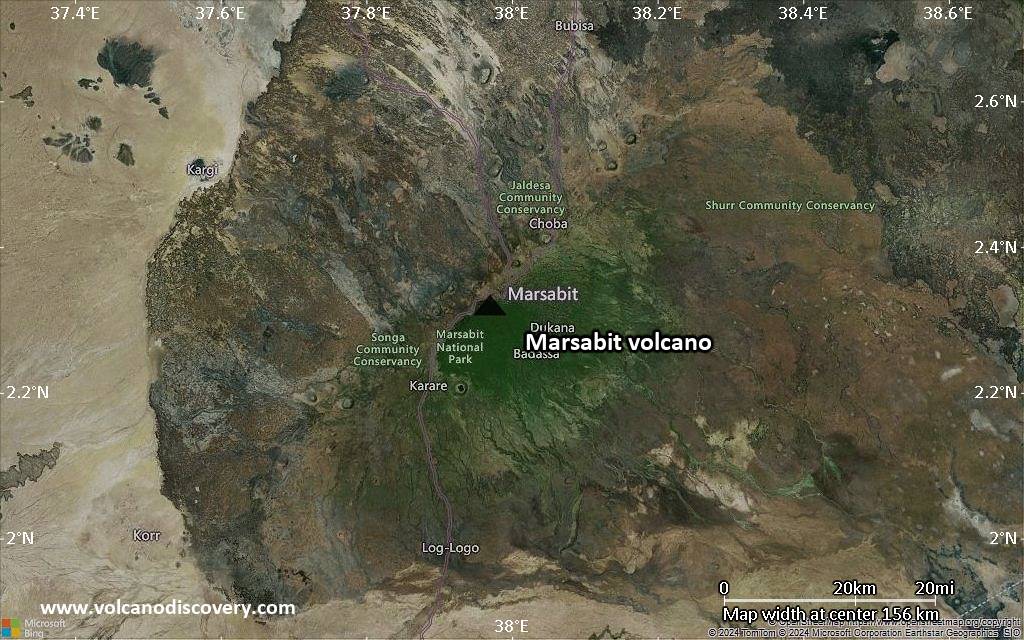
Satellite/aerial-type map of Marsabit volcano (region scale large)
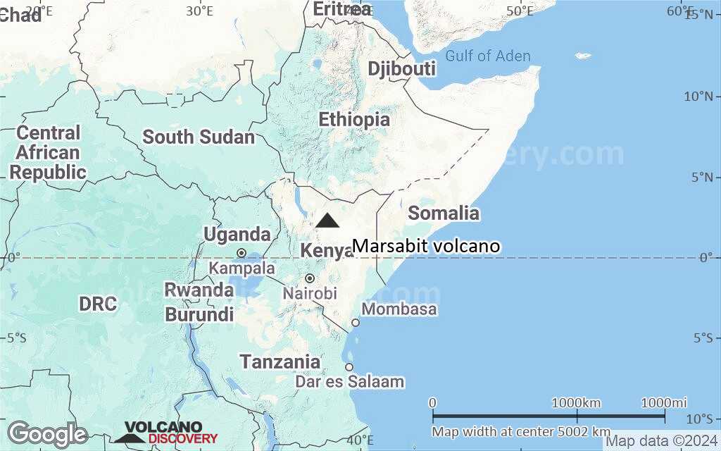
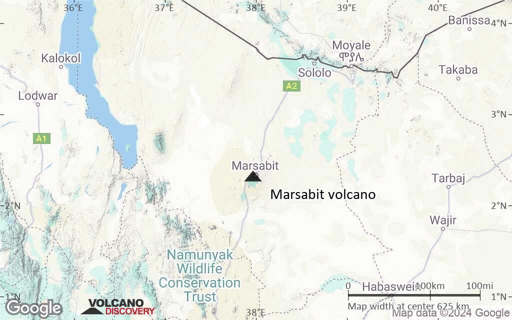
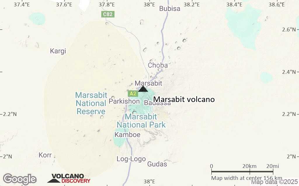
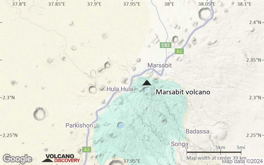
Terrain-type map of Marsabit volcano (region scale large)
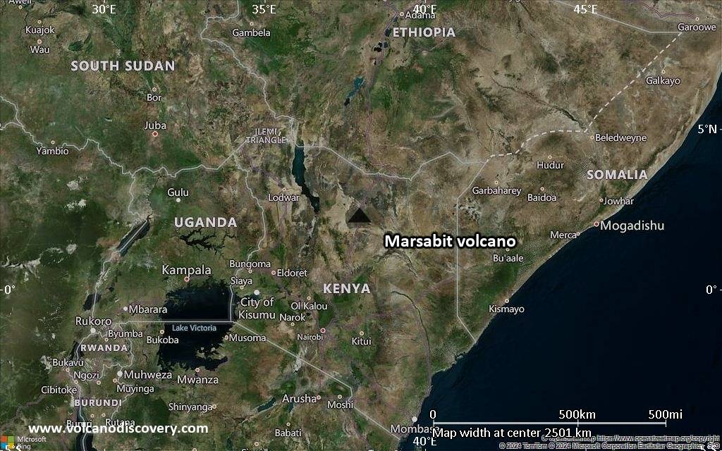
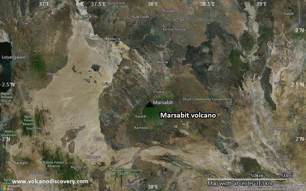
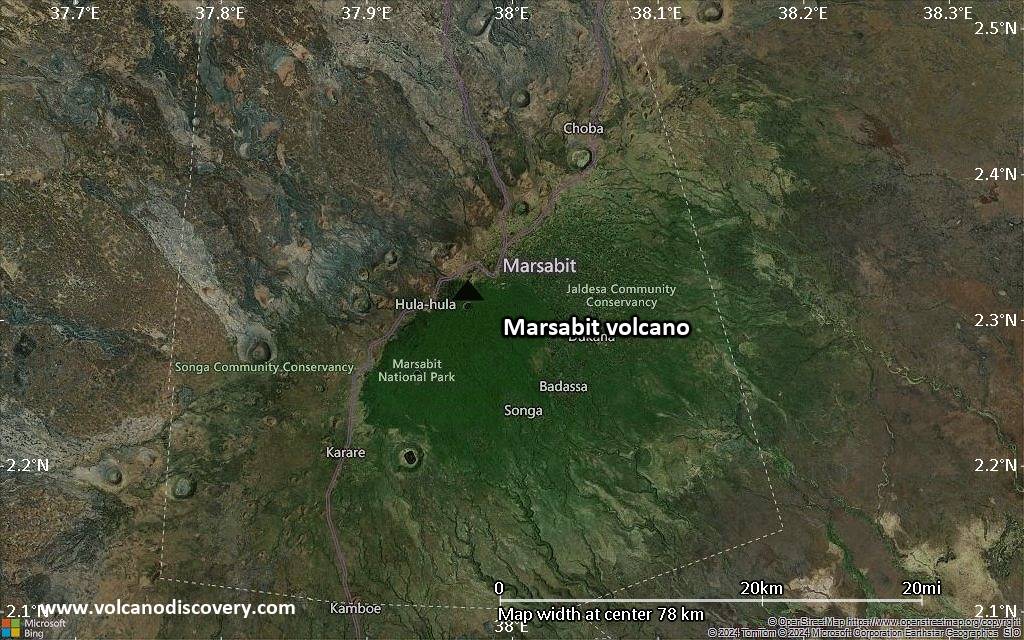
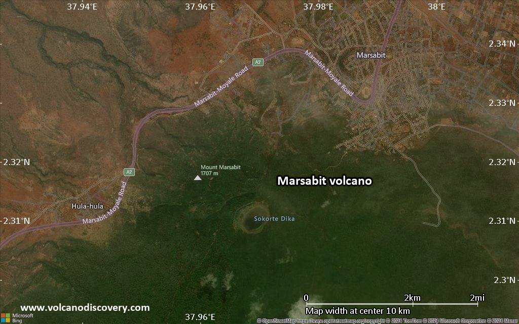
Satellite/aerial-type map of Marsabit volcano (region scale medium)

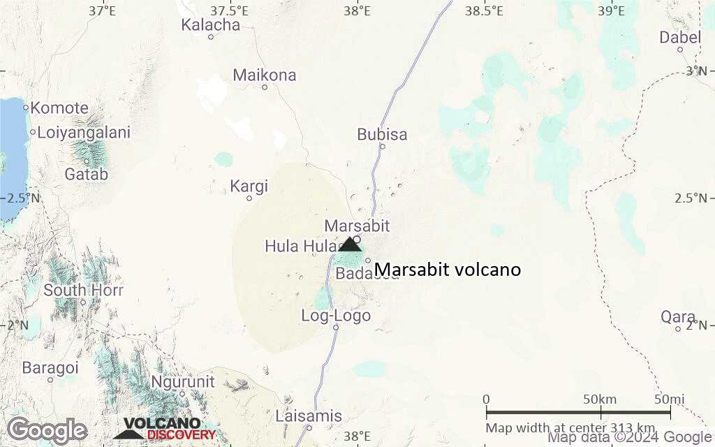
Terrain-type map of Marsabit volcano (region scale medium)

Satellite/aerial-type map of Marsabit volcano (region scale small)
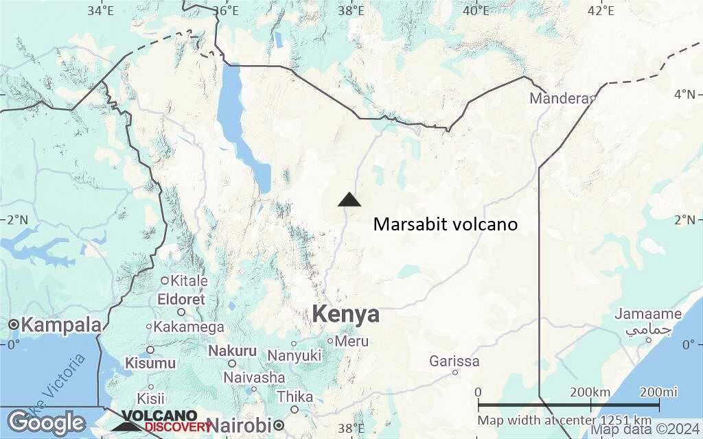
Terrain-type map of Marsabit volcano (region scale small)
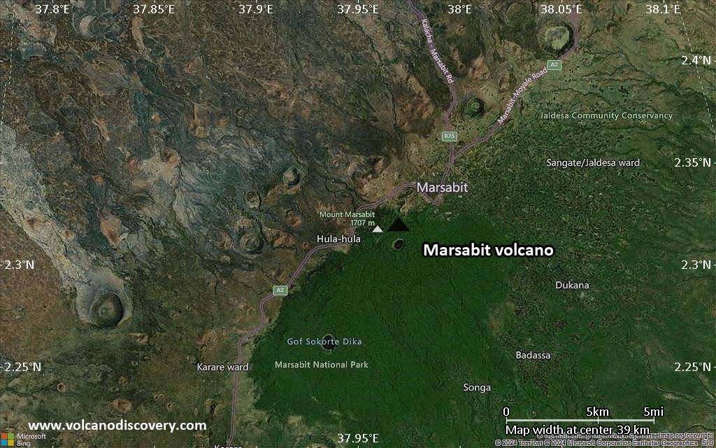
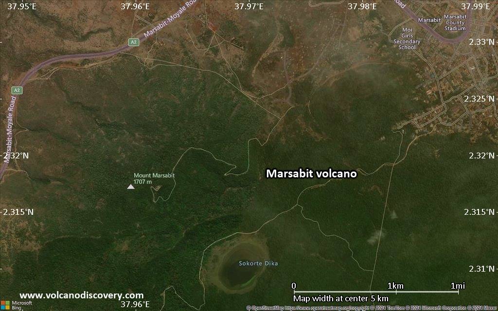
Satellite/aerial-type map of Marsabit volcano (local scale large)
Terrain-type map of Marsabit volcano (local scale large)
Satellite/aerial-type map of Marsabit volcano (local scale medium)
Terrain-type map of Marsabit volcano (local scale medium)
Satellite/aerial-type map of Marsabit volcano (local scale small)
Terrain-type map of Marsabit volcano (local scale small)
Satellite/aerial-type map of Marsabit volcano (scale of 10s of km)

Terrain-type map of Marsabit volcano (scale of 10s of km)
Satellite/aerial-type map of Marsabit volcano (scale of 20-40 km)
Terrain-type map of Marsabit volcano (scale of 20-40 km)

Satellite/aerial-type map of Marsabit volcano (scale of approx. 10-20 km)

Terrain-type map of Marsabit volcano (scale of approx. 10-20 km)
Satellite/aerial-type map of Marsabit volcano (scale of 5-10 km)
Satellite/aerial-type map of Marsabit volcano (scale of few kilometers)