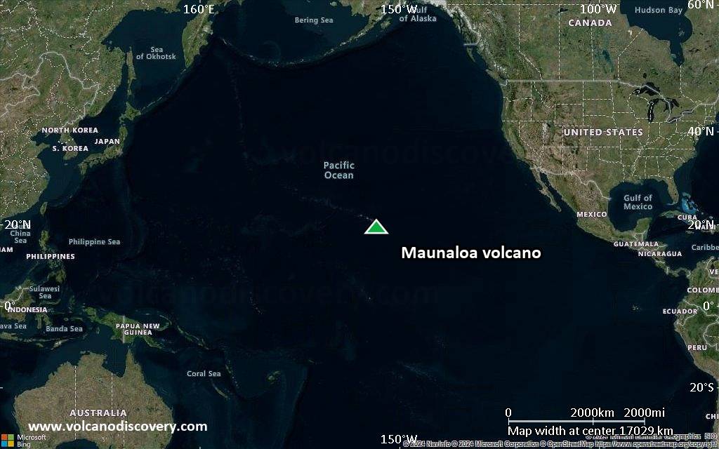
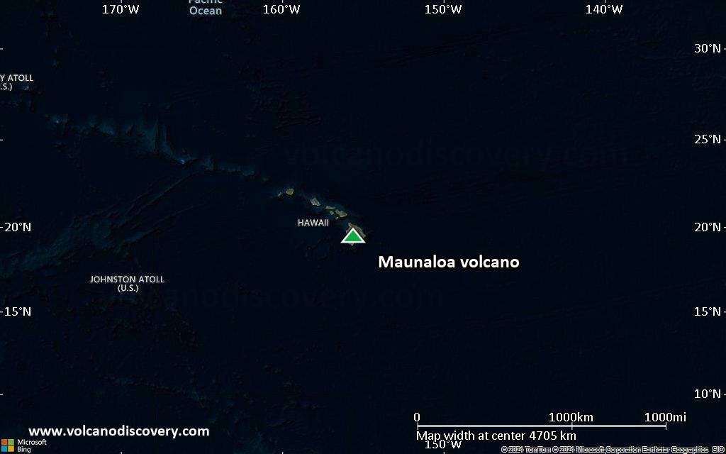
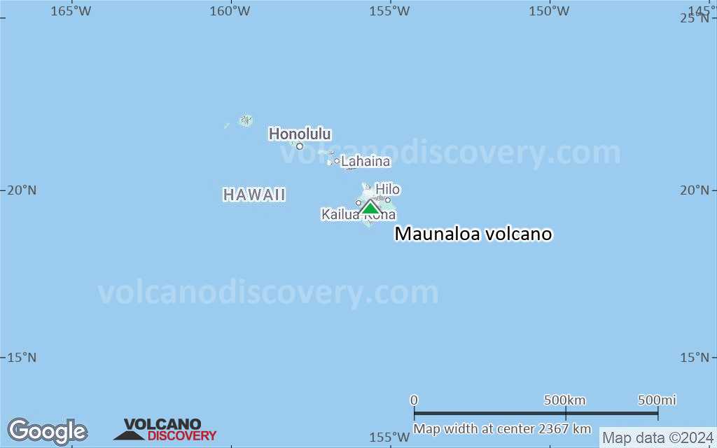
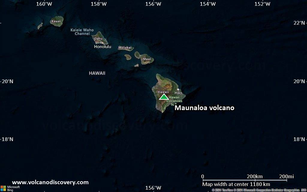
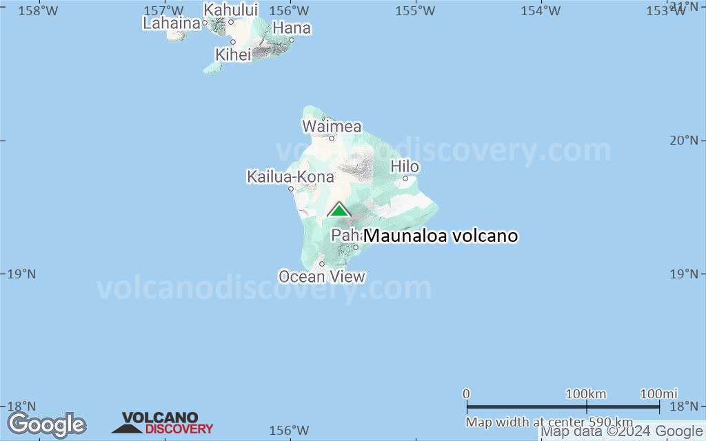
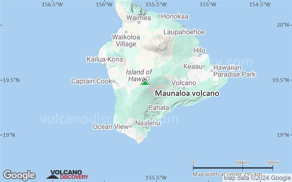
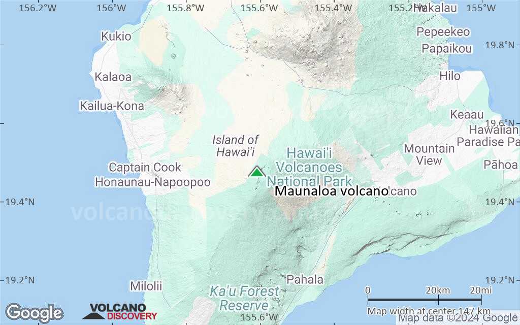
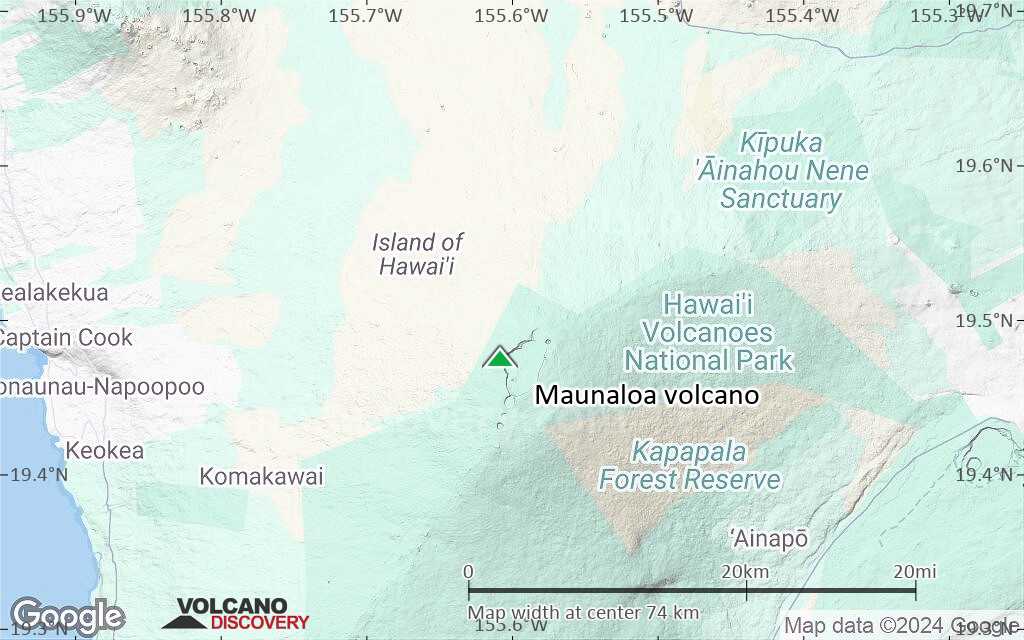
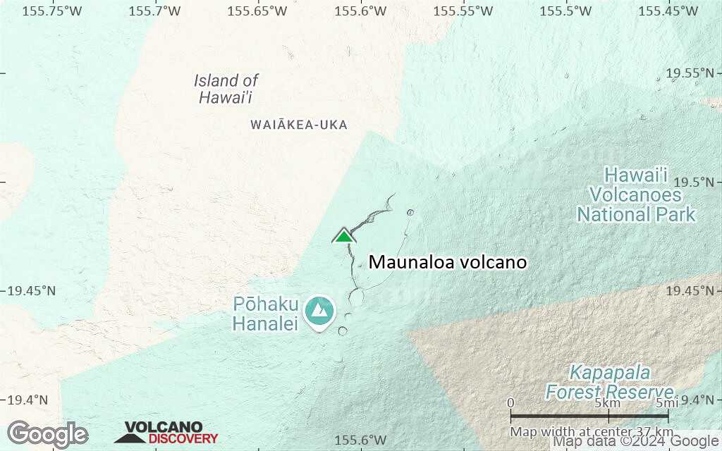
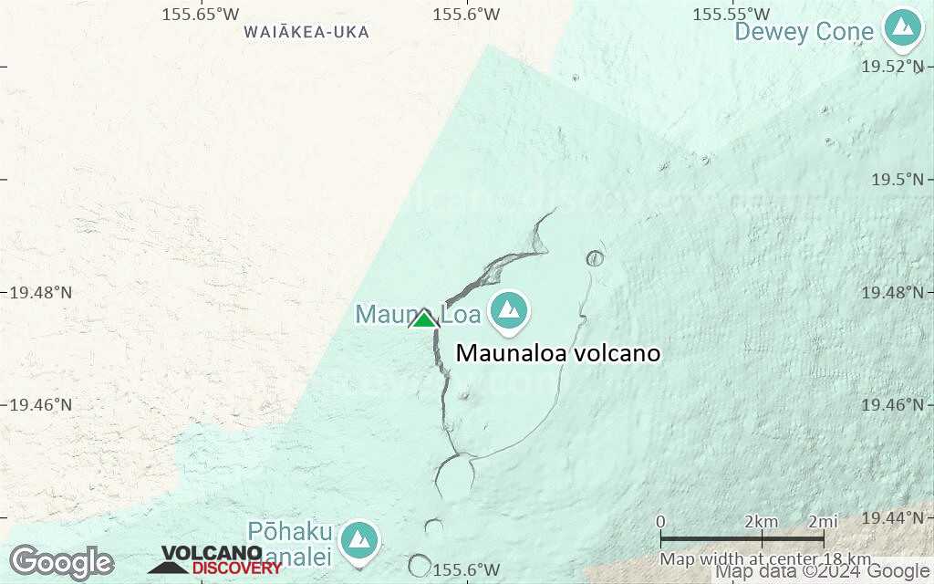
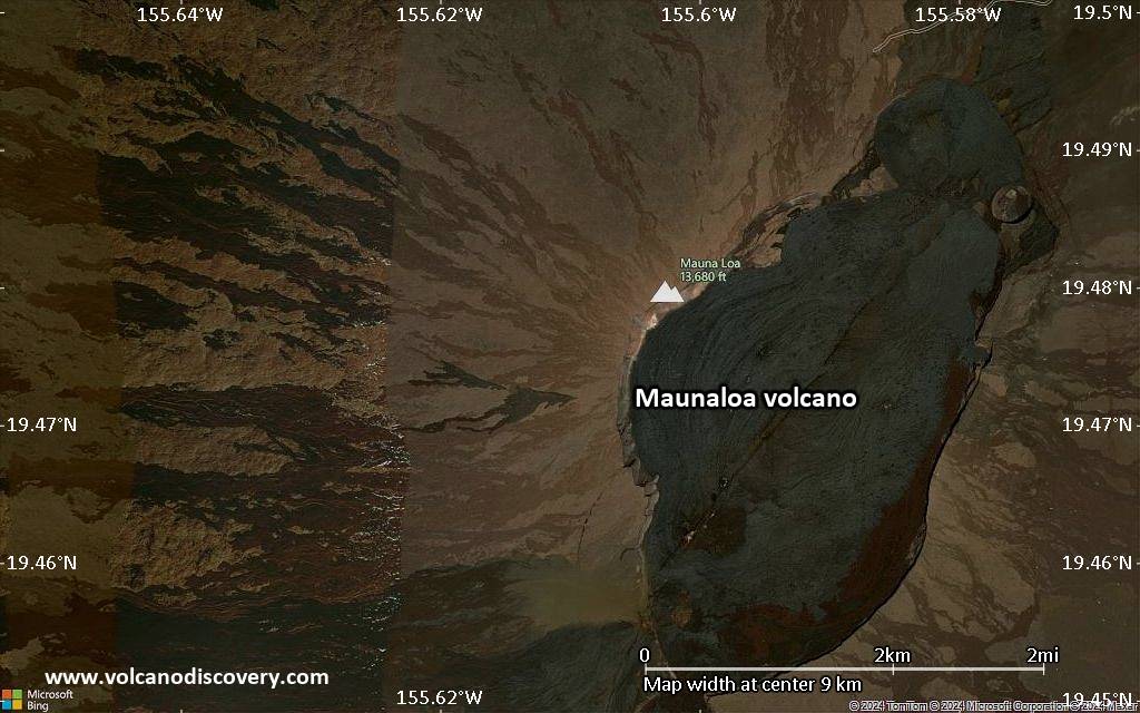
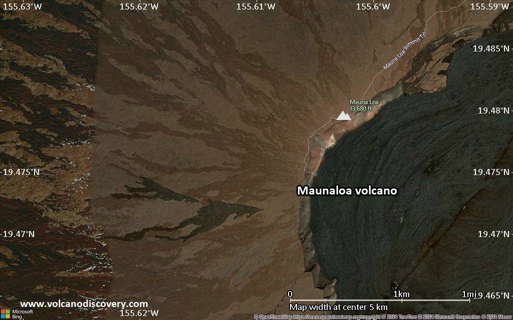
| RSS | EN | DE | EL | ES | FR | IT | RU

Maunaloa Volcano

Updated: Dec 2, 2025 04:14 GMT -
Shield volcano
Big Island, Hawai'i, 19.48°N / -155.61°W
Summit height: 4170 m / 13,681 ft
Current status: normal or dormant (1 out of 5)
Last update: 22 Mar 2023 (Smithsonian / USGS Weekly Volcanic Activity Report)
Mauna Loa volcano with the gentle slopes of a typical shield volcano

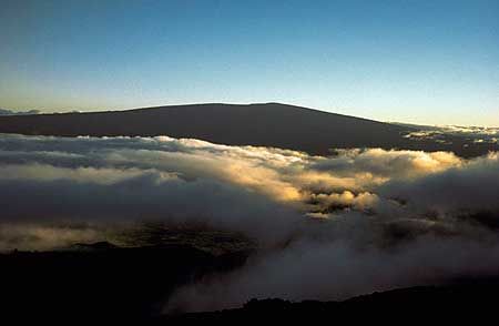
Maunaloa (officially renamed as one word from Mauna Loa) is the world's largest and one of its most active volcanoes - a giant shield volcano on the Big Island of Hawai'i.

[smaller] [larger]
Typical eruption style: Dominantly effusive.
Maunaloa volcano eruptions: 1832, 1843, 1849, 1851, 1852, 1855-56, 1859, 1865-66, 1868, 1870(?), 1871, 1872, 1873, 1873-74, 1875, 1876, 1877, 1879, 1880, 1880-81, 1887, 1892, 1896, 1899, 1903, 1907, 1914-15, 1916, 1919, 1926, 1933, 1935-36, 1940, 1950, 1975, 1984, 2022 (Nov-ongoing)

Latest nearby earthquakes

Date and TimeMag / DepthDistance / Location
Dec 1, 04:58 am (Universal Time)
1.6

1.9 km
21 km (13 mi) to the E 30 mi southwest of Hilo, Hawaii County, Hawaii, United States Info
Sunday, November 30, 2025 GMT (1 quake)
Nov 30, 12:56 am (GMT -10)
1.4

7.6 km
16 km (10 mi) to the SE 12 mi north of Pāhala, Hawaii County, Hawaii, United States Info
Saturday, November 29, 2025 GMT (5 quakes)
Nov 29, 12:01 pm (GMT -10)
1.7

5.9 km
17 km (10.6 mi) to the SE 36 mi southwest of Hilo, Hawaii County, Hawaii, United States Info
Nov 29, 06:58 pm (Universal Time)
2.1

61 km
21 km (13 mi) to the W 16 mi southeast of Kailua-Kona, Hawaii County, Hawaii, United States Info
Nov 29, 09:09 am (Universal Time)
1.6

20 km
12 km (7.2 mi) to the E 31 mi southwest of Hilo, Hawaii County, Hawaii, United States Info
Nov 29, 08:05 am (Universal Time)
1.7

29 km
25 km (16 mi) to the SE 36 mi southwest of Hilo, Hawaii County, Hawaii, United States Info
Nov 29, 07:35 am (Universal Time)
1.7

28 km
26 km (16 mi) to the SE 36 mi southwest of Hilo, Hawaii County, Hawaii, United States Info
Thursday, November 27, 2025 GMT (2 quakes)
Nov 27, 06:46 pm (Universal Time)
1.8

36 km
5.2 km (3.2 mi) to the SE 38 mi southwest of Hilo, Hawaii County, Hawaii, United States Info
Nov 27, 11:26 am (Universal Time)
1.9

0.7 km
29 km (18 mi) to the S 4.9 mi west of Pāhala, Hawaii County, Hawaii, United States Info

Background

Mauna Loa, world's largest mountain and volcano, is a archetype of a basaltic shield volcano in its late mature stage of life, and only about 600,000-1,000,000 years old. Although not erupting as frequently as its younger neighbor Kilauea, it is also one of the most active volcanoes of the world. When it erupts, its eruptions are usually huge and produce large rivers of lava that have repeatedly threatened the town of Hilo.
Mauna Loa rises almost 9 km above the sea floor and the weight of the massive mountain has depressed the oceanic crust down by about 8 kilometers, so the whole pile of volcanic rocks produced from Mauna Loa is probably about 8+5+4=17 kilometers! It has eruptions both from its summit, occupied by a large caldera, and its NE and SW rift zones on the flanks. Almost 90% of Mauna Loa's surface is is covered by lavas less than 4000 years old, while about 50% of its surface is covered by lavas no older than about 1500 years old, while about 25% are covered by lava flows younger than about 750 years, i.,e. emplaced after the formation of the Mokuaweoweo summit caldera.

Significant volcanic eruptions: Maunaloa volcano

In the past 10,000 years, Maunaloa has had at least 110 confirmed volcanic eruptions, out of which 40 are documented by historical records, while the others can be inferred from geological evidence.
There is one uncertain or discredited eruption in 1870 from Maunaloa volcano.
The table below lists all known eruptions (date in bold face) of Maunaloa volcano since around 1800. Updates on the most recent volcanic activity of Maunaloa can be found on the news page of Maunaloa volcano.
DateNoteVEIDeathsDamage
2022 Nov 27 - Dec 10Moku‘aweoweo, Northeast Rift Zone
Historical obs./docs.
0
1984 Mar 25 - Apr 15Moku'aweoweo, SW and NE rift zones
Historical obs./docs.
0
1975 Jul 5 - Jul 6Mokuaweoweo and NE and SW rift zones,
Historical obs./docs.
0
1950 Jun 1 - Jun 23SW rift zone (2440 m)
Historical obs./docs.
?
1949 Jan 6 - May 31Mokuaweoweo and SW rift zone
Historical obs./docs.
?
1942 Apr 26 - May 10NE rift zone (2800 m) and Mokuaweoweo
Historical obs./docs.
?
1940 Apr 7 - Aug 18Mokuaweoweo and SW rift zone
Historical obs./docs.
?
1935 Nov 21 - 1936 Jan 2NE rift zone (3690 m) and Mokuaweoweo
Historical obs./docs.
?
1933 Dec 2 - Dec 18Mokuaweoweo
Historical obs./docs.
?
1926 Apr 10 - Apr 28 ?SW rift (2320 m)
Historical obs./docs.
?
1919 Sep 26 - Nov 5 ?SW rift zone (3450 and 2350 m)
Historical obs./docs.
?
1919 Sep 29
(eruption 1919 Sep 26 - Nov 5 ?)
Tsunami recorded
Historical obs./docs.
0
Info
1916 May 19 - May 30SW rift zone (3000 and 2250 m)
Historical obs./docs.
?
1914 Nov 25 - 1915 Jan 11Mokuaweoweo
Historical obs./docs.
?
1907 Jan 9 - Jan 24 or laterSW rift zone (1890 m) and Mokuaweoweo
Historical obs./docs.
?
1903 Sep 1 - Dec 7 ?Mokuaweoweo
Historical obs./docs.
?
1899 Jul 1 - Jul 23NE rift zone (3260 m) and Mokuaweoweo
Historical obs./docs.
1
1896 Apr 21 - May 6Mokuaweoweo
Historical obs./docs.
?
1892 Nov 30 - Dec 3Mokuaweoweo
Historical obs./docs.
?
1887 Jan 16 - Jan 28 ?SW rift zone (1740 m) and Mokuaweoweo
Historical obs./docs.
?
1880 Nov 5 - 1881 Aug 10NE rift zone (3170 m)
Historical obs./docs.
1
1880 May 1 - May 6Mokuaweoweo
Historical obs./docs.
1
1879 Mar 9Mokuaweoweo
Historical obs./docs.
?
1877 Feb 14 - Feb 24Mokuaweoweo, submarine west flank
Historical obs./docs.
?
1877 Feb 14
(eruption 1877 Feb 14 - Feb 24)
Tsunami recorded
Historical obs./docs.
0
Info
1876 Feb 13 - Feb 14 ?Mokuaweoweo
Historical obs./docs.
?
1875 Aug 11 - Aug 18 ?Mokuaweoweo
Historical obs./docs.
?
1875 Jan 10 - Feb 9 ?Mokuaweoweo
Historical obs./docs.
?
1873 Apr 20 - 1874 Oct 19 ?Mokuaweoweo
Historical obs./docs.
1
1873 Jan 6 - Jan 7 ?Mokuaweoweo
Historical obs./docs.
?
1872 Aug 9 - SepMokuaweoweo
Historical obs./docs.
1
1871 Aug 10 - Aug 30 ?Mokuaweoweo
Historical obs./docs.
?
?? 1870 Jan 1 ? - Jan 15 ?
Uncertain Eruption
?
1868 Mar 27 - Apr 22SW rift zone (1000 m) and Mokuaweoweo
Historical obs./docs.
2
1868 Apr 3
(eruption 1868 Mar 27 - Apr 22)
Tsunami recorded
Historical obs./docs.
277
moderate
Info
1865 Dec 30 - 1866 Apr 29 ?Mokuaweoweo
Historical obs./docs.
?
1859 Jan 23 - Nov 25North flank (2800 m) and Mokuaweoweo
Historical obs./docs.
1
1855 Aug 11 - 1856 NovNE rift zone (3200 m) and Mokuaweoweo
Historical obs./docs.
1
1852 Feb 17 - Mar 11 ?NE rift zone (2560 m) and Mokuaweoweo
Historical obs./docs.
2
1851 Aug 8 - Aug 11 ±1 d.Mokuaweoweo and SW rift zone
Historical obs./docs.
?
1849 MayMokuaweoweo
Historical obs./docs.
?
1843 Jan 9 - Apr 10 ?North flank, Mokuaweoweo and NE rift
Historical obs./docs.
?
1832 Jun 20 - Jul 15 ±7 d.Mokuaweoweo and adjacent vents
Historical obs./docs.
?
Remark:
Our list of volcanic eruptions closely follows the database of eruptions of the Smithsonian's Global Volcanism Project (GVP), the internationally most recognized data source for volcanic eruptions, but also includes significant eruptive episodes or related volcano events. "Volcanic eruptions" are usually to be understood as sequences of individual eruptive episodes that can follow each other, or even overlap (if several vents are involved), and can last many years, decades or even longer. For example, the current activity of Stromboli volcano is understood as a single eruption that has been ongoing since 1934.
Sources: NOAA National Centers for Environmental Information (NCEI), Global Significant Volcanic Eruptions Database. doi:10.7289/V5TD9V7K | Global Volcanism Project / Smithsonian Institution

Maunaloa Volcano FAQ

+When was the last eruption of Maunaloa volcano?

+How often does Maunaloa volcano erupt?

+How active is Maunaloa volcano at present?

+When was the largest eruption of Maunaloa volcano?

Latest satellite images

maunaloa satellite image sat1maunaloa satellite image sat2

Maunaloa Volcano Maps

Below is a selection of maps showing the location and surroundings of the volcano at various resolutions based on aerial-imagery / terrain maps. Feel free to use them for non-commercial purposes on your blog or website as long as you credit them with a link back to this page (click to copy it).
Satellite/aerial-type map of Maunaloa volcano (world scale)
Terrain-type map of Maunaloa volcano (world scale)
Satellite/aerial-type map of Maunaloa volcano (region scale large)
Terrain-type map of Maunaloa volcano (region scale large)
Satellite/aerial-type map of Maunaloa volcano (region scale medium)
Terrain-type map of Maunaloa volcano (region scale medium)
Satellite/aerial-type map of Maunaloa volcano (region scale small)
Terrain-type map of Maunaloa volcano (region scale small)
Satellite/aerial-type map of Maunaloa volcano (local scale large)
Terrain-type map of Maunaloa volcano (local scale large)
Satellite/aerial-type map of Maunaloa volcano (local scale medium)
Terrain-type map of Maunaloa volcano (local scale medium)
Satellite/aerial-type map of Maunaloa volcano (local scale small)
Terrain-type map of Maunaloa volcano (local scale small)
Satellite/aerial-type map of Maunaloa volcano (scale of 10s of km)
Terrain-type map of Maunaloa volcano (scale of 10s of km)
Satellite/aerial-type map of Maunaloa volcano (scale of 20-40 km)
Terrain-type map of Maunaloa volcano (scale of 20-40 km)
Satellite/aerial-type map of Maunaloa volcano (scale of approx. 10-20 km)
Terrain-type map of Maunaloa volcano (scale of approx. 10-20 km)
Satellite/aerial-type map of Maunaloa volcano (scale of 5-10 km)
Satellite/aerial-type map of Maunaloa volcano (scale of few kilometers)
Volcanoes & Earthquakes - new app for Android
Guaranteed tours
2-10 May 2026: From Stromboli to Etna - Sicily and Eolian Islands (Italy)
= spaces available   = guaranteed   = few spaces left   = booked out

Mauna Loa volcano (Hawaiian Islands, USA) - Smithsonian / USGS Weekly Volcanic Activity Report for 15 March-21 March 2023 (Continuing Activity)

Wednesday, Mar 22, 2023 | 2 years ago · VN
HVO reported that Mauna Loa had been quiet since the eruption ended on 13 December 2022 and the number of earthquakes beneath the summit had returned to background levels. Inflation continued as magma…

On this page:

Try our free app!
Volcanoes & Earthquakes - new app for Android
Android | iOS version

More on VolcanoDiscovery

Why is there advertising on this site?

Support Us – Help Us Enhance Our Services!

We’re passionate about delivering the latest volcano and earthquake data from around the globe — just for you. However, maintaining our website and free apps requires significant time, effort, and resources.
Your support helps us expand our hardware and software capabilities and empowers our dedicated editorial team. Our mission is to provide uninterrupted, real-time updates whenever an earthquake strikes or a volcano erupts — and your donations make this possible. Every contribution, big or small, is deeply appreciated. If you find our information valuable and want to help us add new features, create compelling content, and improve our technology, please consider making a donation:

Donate with PayPal:

Planned Features:

Thanks to your past donations, we have recently added:
Download the Volcanoes & Earthquakes app to stay among the first to receive the fastest seismic and volcano alerts online:
Android | iOS
Thank you for being part of our mission!
Sources: VolcanoDiscovery / VolcanoAdventures and other sources as noted.
Use of material: Most text and images on our websites are owned by us. Re-use is generally not permitted without authorization. Contact us for licensing rights.
Volcanoes & Earthquakes
VolcanoDiscovery Home
Volcanoes | Earthquakes | Photos | Volcano News | | Shop | App
Adventure & Study Travel
Tours to Volcanoes and Volcanic Areas: walking tours, photo tours, study tours
Tours & Dates | FAQ | About us
Get our newsletter!
Company info
Contact | Legal info | Terms & conditions
Follow us
Follow us on facebook Follow us on Instagram Follow us on Bluesky Follow us on Twitter Visit our Youtube channel
EN | DE | EL | ES | FR | IT | RU
VolcanoDiscovery GmbH, Germany, Reg. nr.: HRB 103744, EU Tax Id: DE 297 465 123 owned and created by
Dr. Tom Pfeiffer, volcanologist, volcano photographer, tour organizer member of
IAVCEI
IAVCEI
Vulkanologische Gesellschaft
Volcanological Society
Ecotourism Greece
Ecotourism Greece
RUV insurance
Insured by R+V
VolcanoDiscovery © 2004- All Rights Reserved | Privacy - Cookie Settings