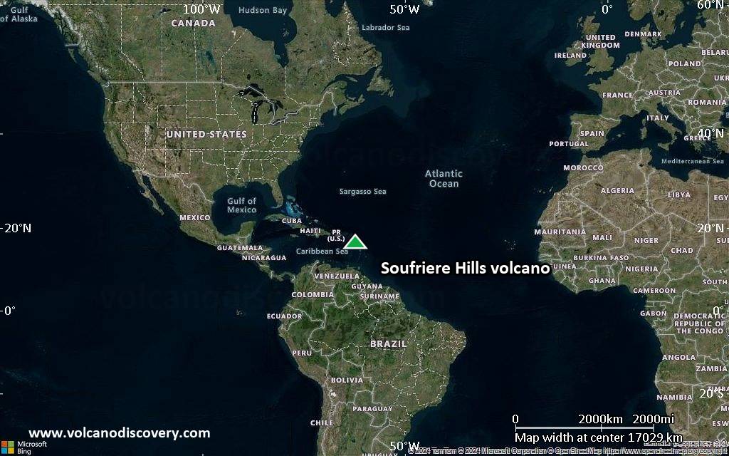
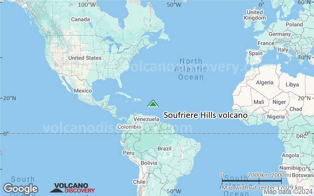
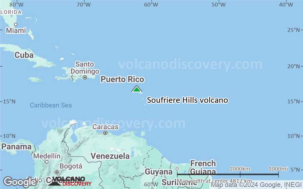
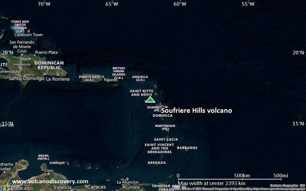
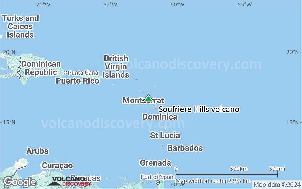
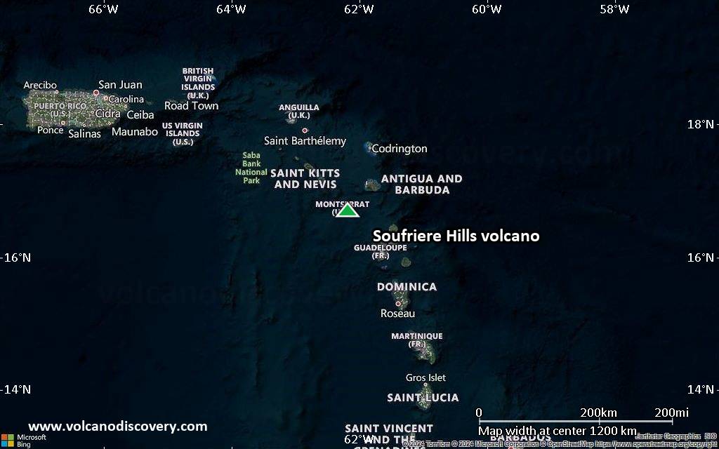
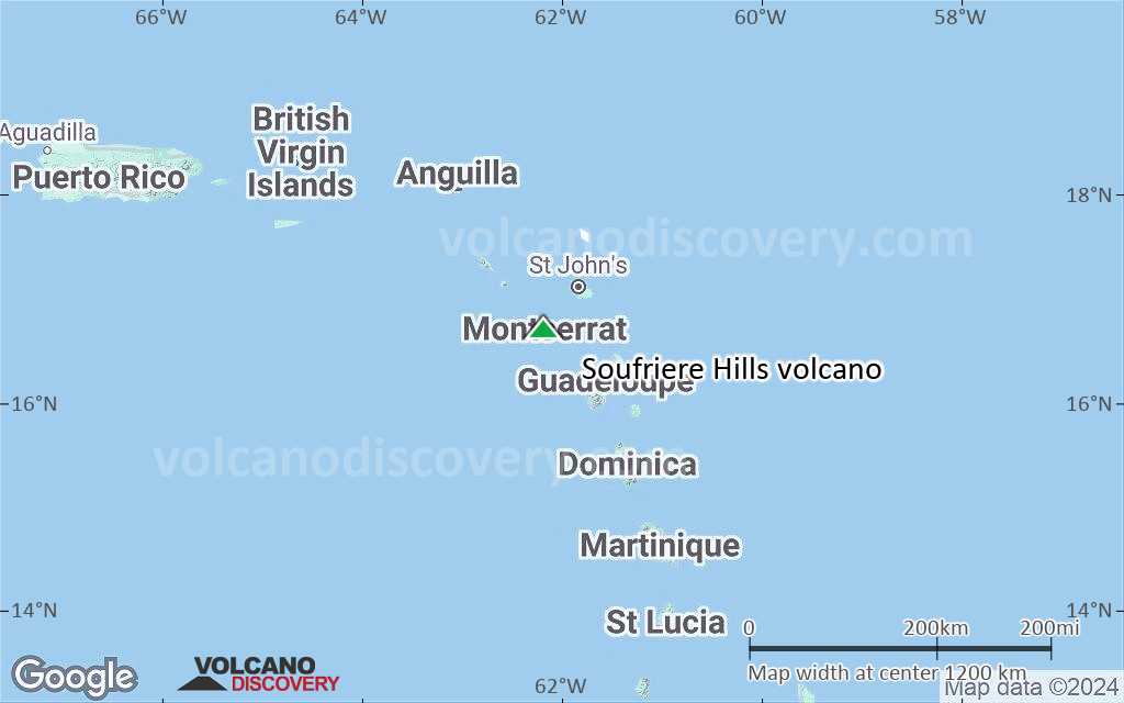
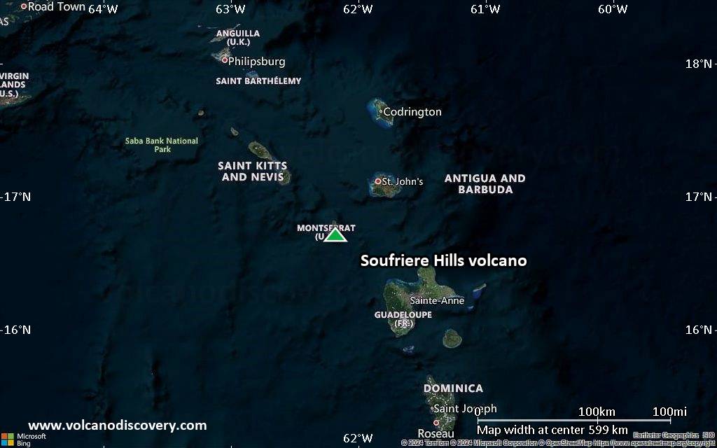
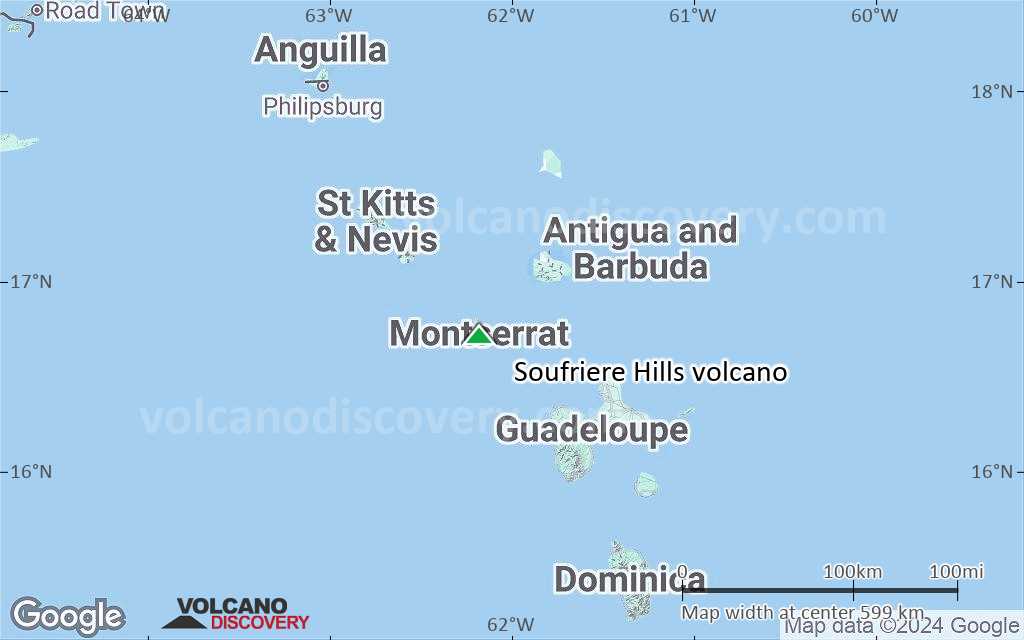
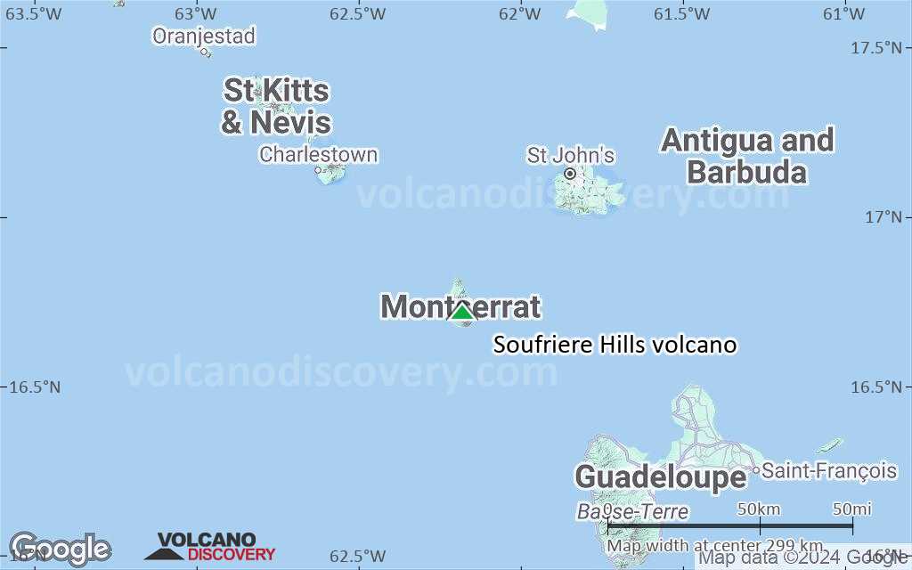
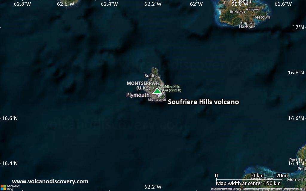
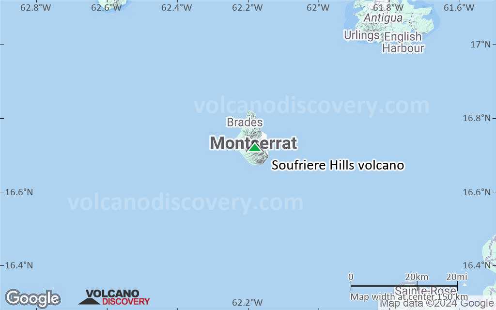
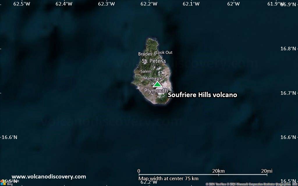
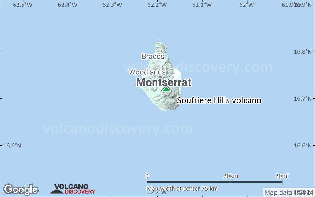
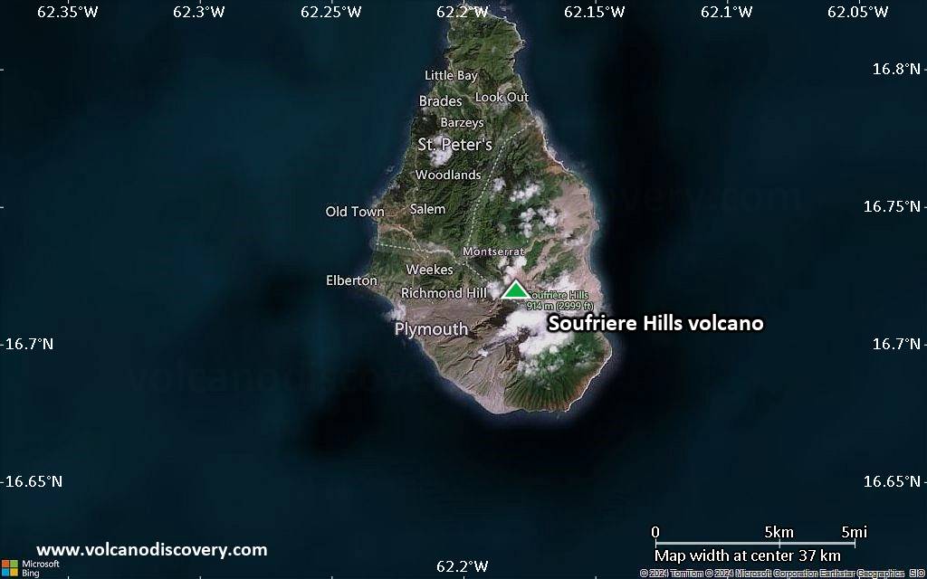
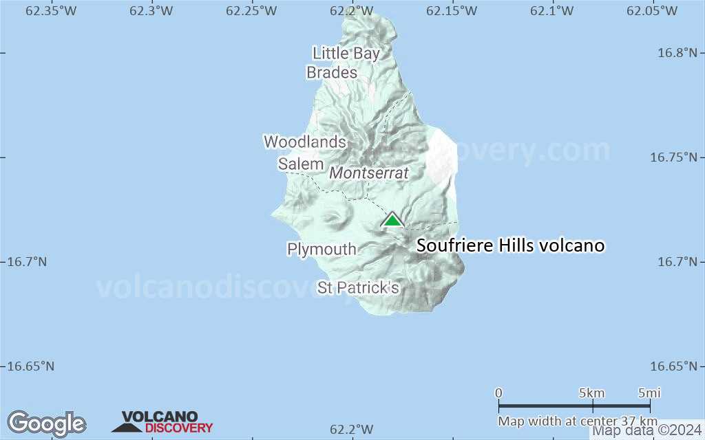
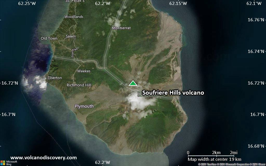
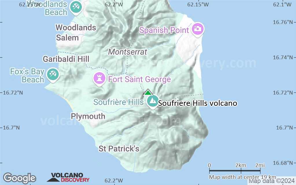
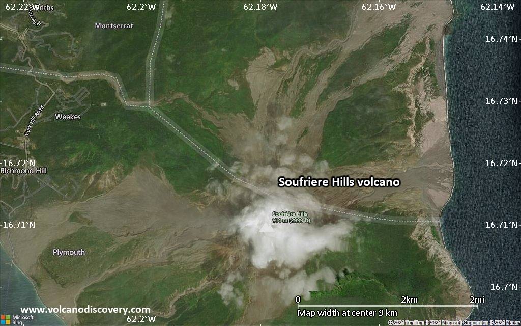
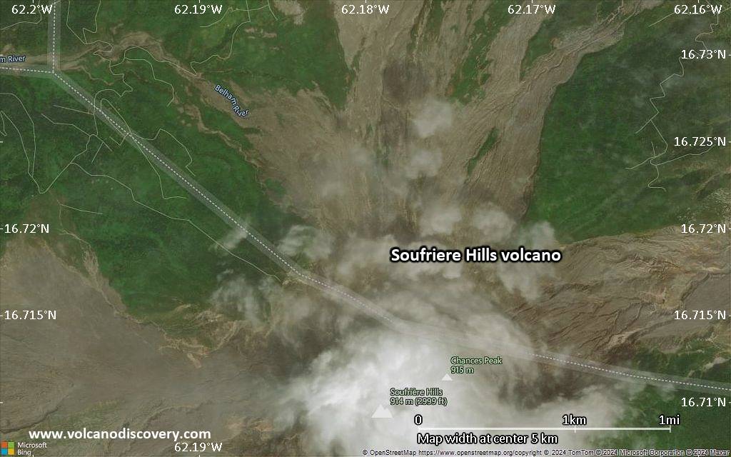
Soufriere Hills Volcano
Soufrière Hills volcano is a complex stratovolcano that forms the northern half of the small Island of Montserrat in the British Lesser Antilles. After 350 years of quiet, it came back into life in 1995 and started to build a new lava dome. The eruption alternated between less or more intense phases including rapid dome growth with associated powerful vulcanian explosions and large pyroclastic flows from dome collapse.
The eruption, in particular the effects of pyroclastic flows and lahars caused by heavy rains have destroyed a large part of the island, including the capital Plymouth, and the population has been relocated to the northern part of the island and has been fighting, with the help of the UK government, to maintain life on the island.
One of the world's most modern volcano observatories, the MVO, has been installed on the island and while largely unknown prior to 1995, Soufrière Hills volcano now counts as one of the best monitored active volcanoes world-wide.
Soufriere Hills volcano eruptions: 2005-2013, 2004, 1995-2003
1550 ± 50 years, 1480 ± 50 years, 1180 (?), 2460 BC ± 70 years, 4050 BC (?), 8050 BC ± 2000 years
Latest nearby earthquakes
| Date and Time | Mag / Depth | Distance / Location | |||
|---|---|---|---|---|---|
Soufriere Hills Volcano Photos


Significant volcanic eruptions: Soufriere Hills volcano
| Date | Note | VEI | Deaths | Damage | |
|---|---|---|---|---|---|
Historical obs./docs. | 3? | ||||
| 2006 May 20 (eruption | Tsunami recorded Historical obs./docs. | 2 | Info | ||
Historical obs./docs. | 3? | ||||
Historical obs./docs. | 3 | ||||
| 2003 Jul 12 (eruption | Tsunami recorded Historical obs./docs. | 3 | Info | ||
| 1999 Jan 20 (eruption | Tsunami recorded Historical obs./docs. | 3 | Info | ||
| 1997 Dec 26 (eruptive episode | Tsunami recorded Historical obs./docs. | 0 | Info | ||
| 1997 Aug 1 (eruption | Historical obs./docs. | 3 | 2 | Info | |
| 1997 Jun 25 (eruption | Historical obs./docs. | 3 | 22 | Info | |
| Castle Peak | ? | ||||
| Castle Peak | ? | ||||
| ? | |||||
| English's crater | ? | ||||
| ? | |||||
| ? | |||||
Soufriere Hills Volcano FAQ
+When was the last eruption of Soufriere Hills volcano?
The last confirmed eruption of Soufriere Hills occurred during 2005 - 2013.
+How often does Soufriere Hills volcano erupt?
Soufriere Hills volcano erupts almost every year. Since its first historically documented eruption 1995, Soufriere Hills has often been near-continuously active. The Global Volcanism Project counts 3 historic eruptions until now, spanning a total of 19 out of 30 years. In other words, Soufriere Hills is active roughly every one in 1.6 years on average. This value is likely an underestimate, because the known history of eruption might not contain all eruptions, especially further back in time. The last eruption of Soufriere Hills
+How active is Soufriere Hills volcano at present?
Soufriere Hills volcano is relatively active: Since 1900, it has had 19 eruptions, and been active during 19 years out of 126 as of now. This means, Soufriere Hills has been in eruption one in 6.6 years on average. The last eruption was from 2005 until 2013 and ended 13 years ago.
+When was the largest eruption of Soufriere Hills volcano?
The largest eruption of Soufriere Hills volcano in historic times occurred during 2005 - 2013. It ranks as a "vulcanian" eruption with a magnitude 3 on the VEI (Volcanic Explosivity Index) scale.
Latest satellite images
Soufriere Hills Volcano Maps