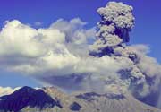
Nairai Volcano
Updated: Aug 6, 2025 00:53 GMT -
Complex
Fiji, -17.8°S / 179.42°E 
Summit height: 335 m / 1099 ft
Current status: (probably) extinct (0 out of 5)
[smaller] [larger]
Nairai volcano eruptions: None during the past 10,000 years
Less than 2.58 million years ago (Pleistocene)
Latest nearby earthquakes
| Date and Time | Mag / Depth | Distance / Location | |||
|---|---|---|---|---|---|
Background
Nairai is composed of five basaltic volcanic centers of Pliocene age; the well-preserved Pleistocene cinder cone Rairainiika is located on the NW coast.---
Source: Smithsonian / GVP volcano information
Latest satellite images
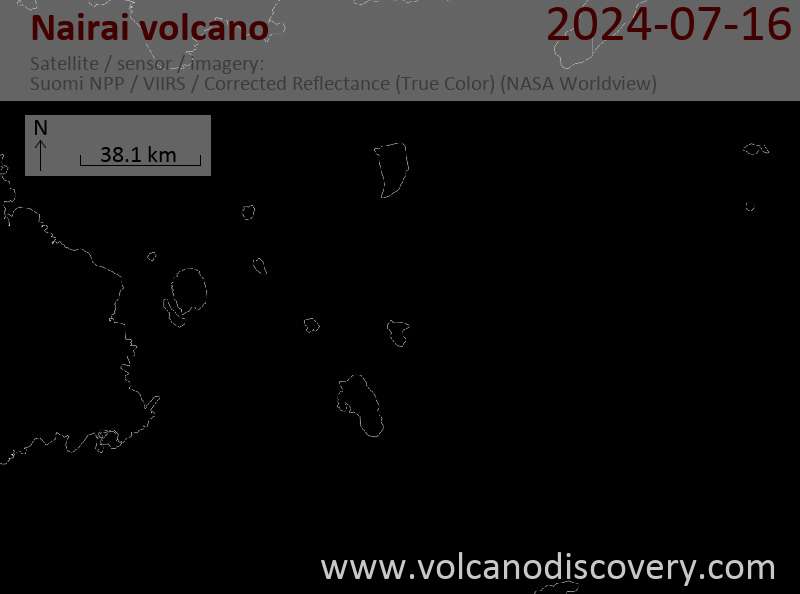
Nairai Volcano Maps
Below is a selection of maps showing the location and surroundings of the volcano at various resolutions based on aerial-imagery / terrain maps. Feel free to use them for non-commercial purposes on your blog or website as long as you credit them with a link back to this page (click to copy it).
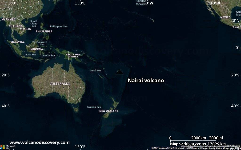
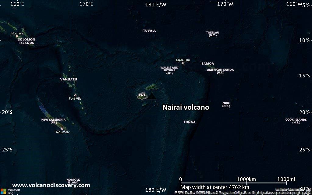
Satellite/aerial-type map of Nairai volcano (world scale)
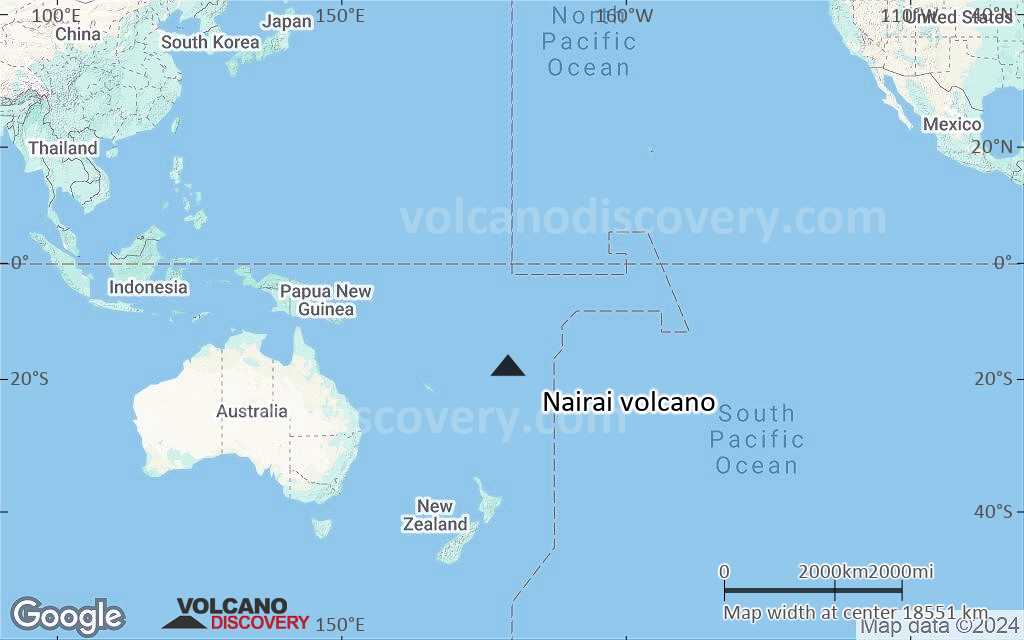
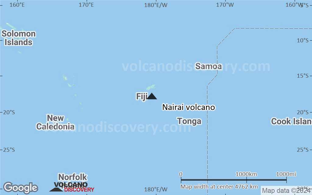
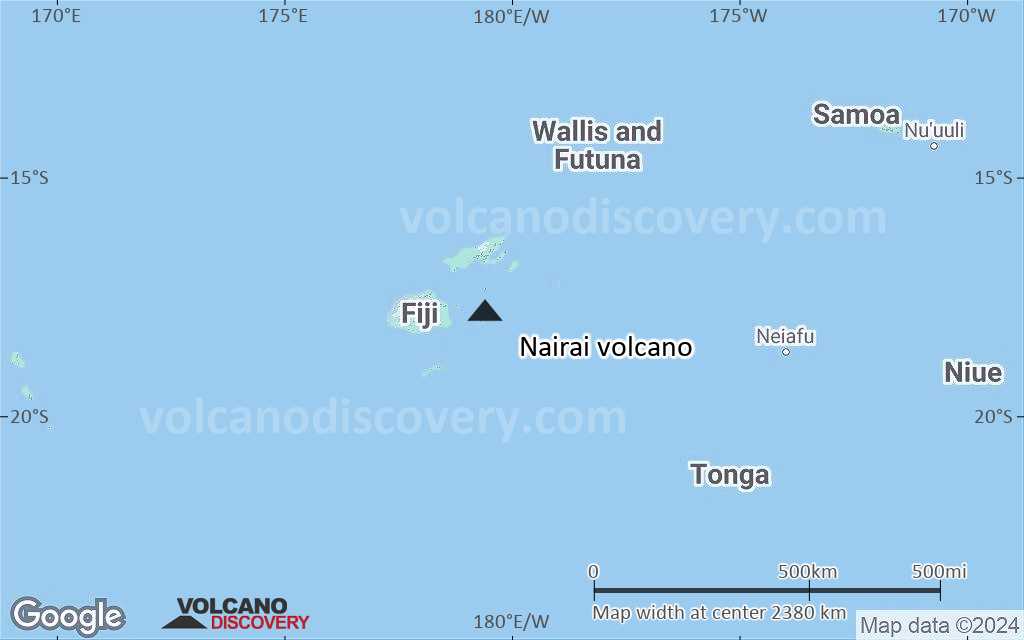
Terrain-type map of Nairai volcano (world scale)
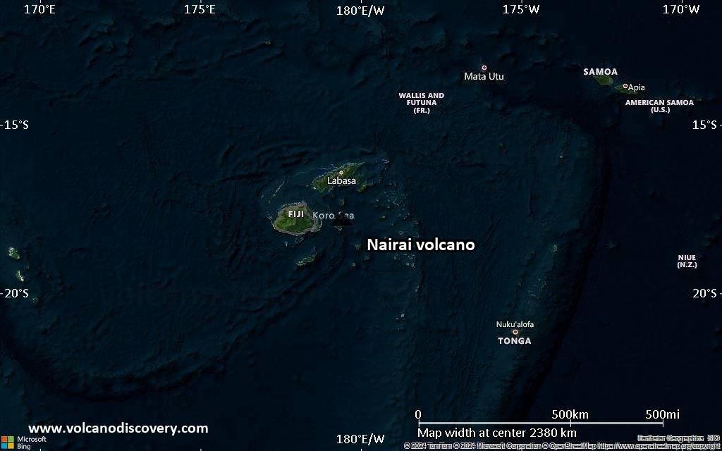
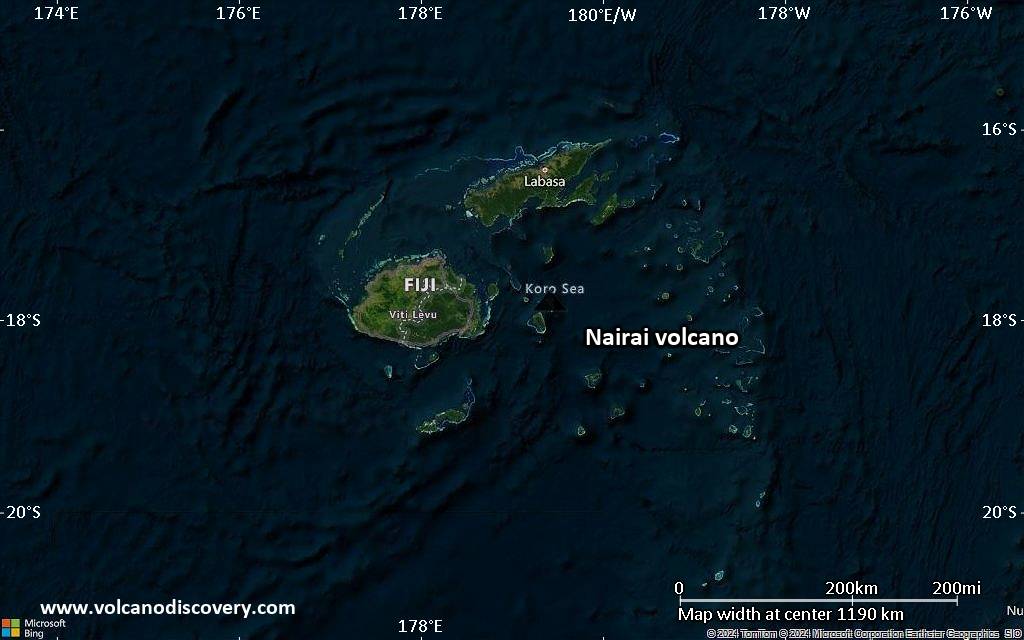
Satellite/aerial-type map of Nairai volcano (region scale large)
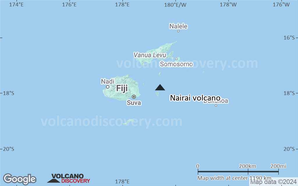
Terrain-type map of Nairai volcano (region scale large)
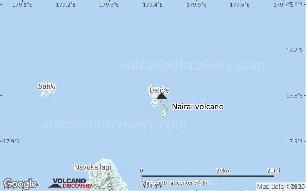
Satellite/aerial-type map of Nairai volcano (region scale medium)
Terrain-type map of Nairai volcano (region scale medium)
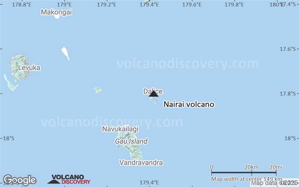
Satellite/aerial-type map of Nairai volcano (region scale small)
Terrain-type map of Nairai volcano (region scale small)

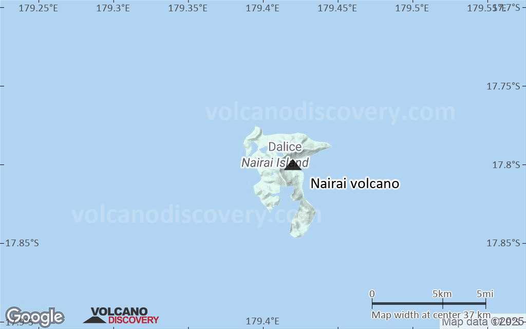
Satellite/aerial-type map of Nairai volcano (local scale large)

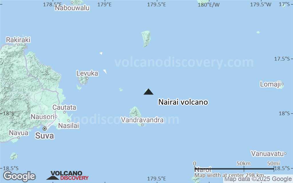
Terrain-type map of Nairai volcano (local scale large)

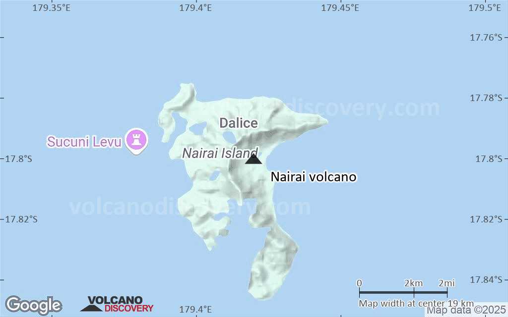
Satellite/aerial-type map of Nairai volcano (local scale medium)
Terrain-type map of Nairai volcano (local scale medium)

Satellite/aerial-type map of Nairai volcano (local scale small)
Terrain-type map of Nairai volcano (local scale small)

Satellite/aerial-type map of Nairai volcano (scale of 10s of km)
Terrain-type map of Nairai volcano (scale of 10s of km)

Satellite/aerial-type map of Nairai volcano (scale of 20-40 km)
Terrain-type map of Nairai volcano (scale of 20-40 km)

Satellite/aerial-type map of Nairai volcano (scale of approx. 10-20 km)
Terrain-type map of Nairai volcano (scale of approx. 10-20 km)

Satellite/aerial-type map of Nairai volcano (scale of 5-10 km)

Satellite/aerial-type map of Nairai volcano (scale of few kilometers)