


Ndete Napu Volcano
Updated: May 21, 2025 13:39 GMT -
fumarole field
Flores (Indonesia), -8.72°S / 121.78°E 
Summit height: 750 m / 2,461 ft
Current status: normal or dormant (1 out of 5)
Ndete Napu is no volcano as such, but a fumarole field along the Lowomelo river valley in central Flores Island. It formed between 1927-29. In 1932 it contained mud pots and high-pressure geysers. There have been no volcanic eruptions in the area in recorded history and the age of the volcanic rocks of the area is unknown.
[smaller] [larger]
Ndete Napu volcano eruptions: no eruptions in historic time
Latest nearby earthquakes
| Date and Time | Mag / Depth | Distance / Location | |||
|---|---|---|---|---|---|
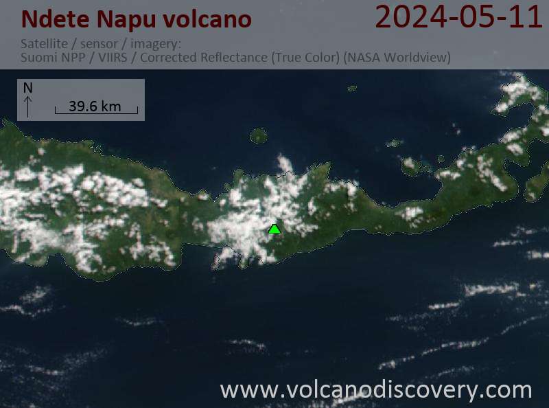
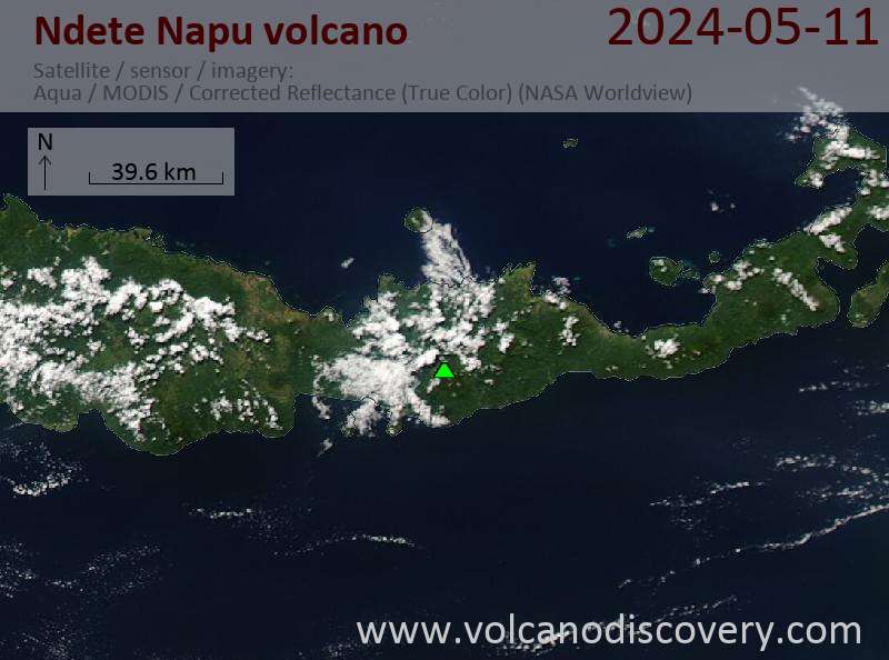
Latest satellite images
Ndete Napu Volcano Maps
Below is a selection of maps showing the location and surroundings of the volcano at various resolutions based on aerial-imagery / terrain maps. Feel free to use them for non-commercial purposes on your blog or website as long as you credit them with a link back to this page (click to copy it).

Satellite/aerial-type map of Ndete Napu volcano (world scale)

Terrain-type map of Ndete Napu volcano (world scale)

Satellite/aerial-type map of Ndete Napu volcano (region scale large)

Terrain-type map of Ndete Napu volcano (region scale large)

Satellite/aerial-type map of Ndete Napu volcano (region scale medium)

Terrain-type map of Ndete Napu volcano (region scale medium)

Satellite/aerial-type map of Ndete Napu volcano (region scale small)

Terrain-type map of Ndete Napu volcano (region scale small)

Satellite/aerial-type map of Ndete Napu volcano (local scale large)

Terrain-type map of Ndete Napu volcano (local scale large)

Satellite/aerial-type map of Ndete Napu volcano (local scale medium)

Terrain-type map of Ndete Napu volcano (local scale medium)

Satellite/aerial-type map of Ndete Napu volcano (local scale small)

Terrain-type map of Ndete Napu volcano (local scale small)

Satellite/aerial-type map of Ndete Napu volcano (scale of 10s of km)

Terrain-type map of Ndete Napu volcano (scale of 10s of km)

Satellite/aerial-type map of Ndete Napu volcano (scale of 20-40 km)

Terrain-type map of Ndete Napu volcano (scale of 20-40 km)

Satellite/aerial-type map of Ndete Napu volcano (scale of approx. 10-20 km)

Terrain-type map of Ndete Napu volcano (scale of approx. 10-20 km)

Satellite/aerial-type map of Ndete Napu volcano (scale of 5-10 km)

Satellite/aerial-type map of Ndete Napu volcano (scale of few kilometers)


