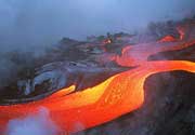
Oku Volcanic Field Volcano
Updated: Jul 7, 2025 08:55 GMT -
Stratovolcano
Cameroon, 6.25°N / 10.5°E 
Summit height: 3011 m / 9,878 ft
Current status: normal or dormant (1 out of 5)
[smaller] [larger]
Oku Volcanic Field volcano eruptions: unknown, no recent eruptions
Latest nearby earthquakes
| Date and Time | Mag / Depth | Distance / Location | |||
|---|---|---|---|---|---|
Background
Numerous maars and basaltic cinder cones lie on or near the deeply dissected rhyolitic and trachytic Mount Oku massif along the Cameroon volcanic line. The Mount Oku stratovolcano is cut by a large caldera. The Oku volcanic field is noted for two crater lakes, Lake Nyos to the north and Lake Monoun to the south, that recently produced catastrophic carbon-dioxide gas release events. The August 15, 1984, gas release at Lake Monoun was attributed to overturn of stratified lake water, triggered by an earthquake and landslide. The Lake Nyos event on August 21, 1986, caused at least 1700 fatalities. The emission of around 1 cu km of magmatic carbon dioxide has been attributed either to overturn of stratified lake waters as a result of a non-volcanic process, or to phreatic explosions or injection of hot gas into the lake.---
Smithsonian / GVP volcano information
Significant volcanic eruptions: Oku Volcanic Field volcano
In the past 10,000 years, Oku Volcanic Field has had only one confirmed historic eruption ###WHEN1###|only one confirmed historic eruption ###WHEN1### and one ###WHEN2### inferred from geological evidence|only one confirmed historic eruption ###WHEN1###, but at least ###NUM_INFERRED### eruptions can be inferred from geological evidence|at least ###NUM_CONFIRMED### confirmed eruptions, all documented by historical records or observations|at least ###NUM_CONFIRMED### confirmed volcanic eruptions, out of which ###NUM_HISTORIC### are documented by historical records, while the others can be inferred from geological evidence.
No historic eruptions are known from Oku Volcanic Field volcano, but at least one eruption ###WHEN2### can be inferred from geological evidence|evidence from at least ###NUM_CONFIRMED### eruptions during the past 10,000 years can be found in the geological record.
There are only 2 uncertain or discredited eruptions from Oku Volcanic Field volcano during the past 10,000 years.
The table below lists all known eruptions (date in bold face) of Oku Volcanic Field volcano in historic times and during the past 10,000 years. Updates on the most recent volcanic activity of Oku Volcanic Field can be found on the news page of Oku Volcanic Field volcano.
| Date | Note | VEI | Deaths | Damage | |
|---|---|---|---|---|---|
?? | Uncertain Eruption | ? | |||
| 1986 Aug 21 (eruption | Tsunami recorded | 3 | 1,700 | Info | |
| 1984 Aug 15 (eruptive episode | Tsunami recorded | 0 | 37 | Info | |
?? | Uncertain Eruption | 3 | |||
Remark:
Our list of volcanic eruptions closely follows the database of eruptions of the Smithsonian's Global Volcanism Project (GVP), the internationally most recognized data source for volcanic eruptions, but also includes significant eruptive episodes or related volcano events. "Volcanic eruptions" are usually to be understood as sequences of individual eruptive episodes that can follow each other, or even overlap (if several vents are involved), and can last many years, decades or even longer. For example, the current activity of Stromboli volcano is understood as a single eruption that has been ongoing since 1934.
Sources: NOAA National Centers for Environmental Information (NCEI), Global Significant Volcanic Eruptions Database. doi:10.7289/V5TD9V7K | Global Volcanism Project / Smithsonian Institution
Latest satellite images
Oku Volcanic Field Volcano Maps
Below is a selection of maps showing the location and surroundings of the volcano at various resolutions based on aerial-imagery / terrain maps. Feel free to use them for non-commercial purposes on your blog or website as long as you credit them with a link back to this page (click to copy it).
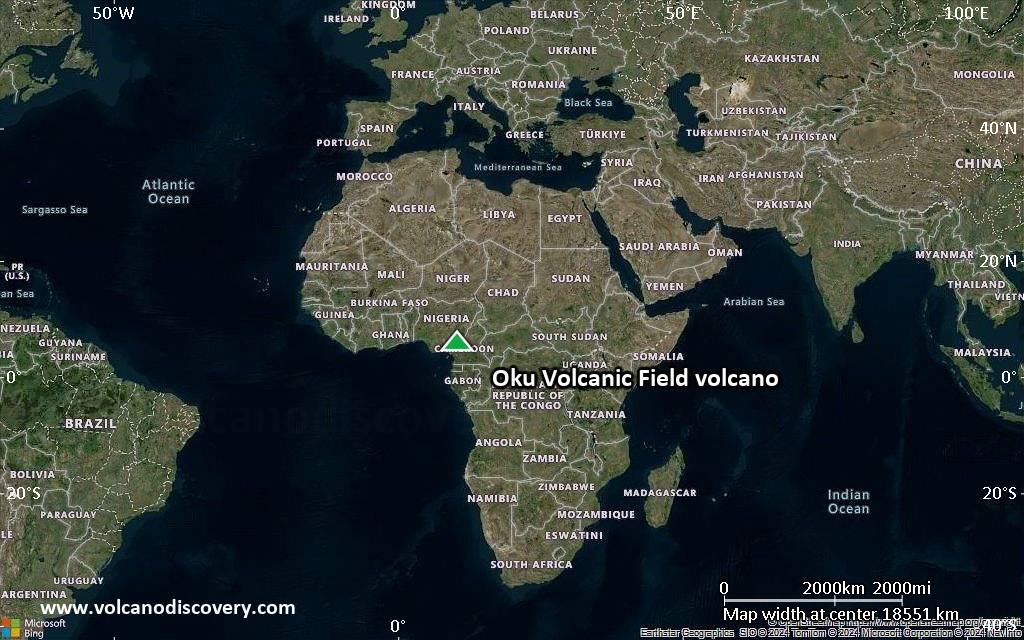
Satellite/aerial-type map of Oku Volcanic Field volcano (world scale)
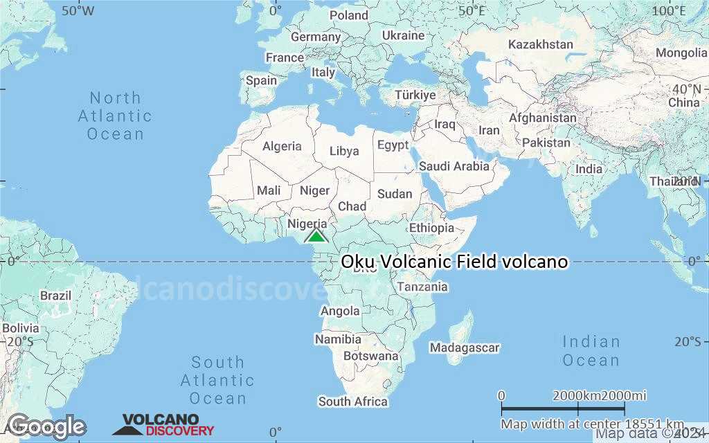
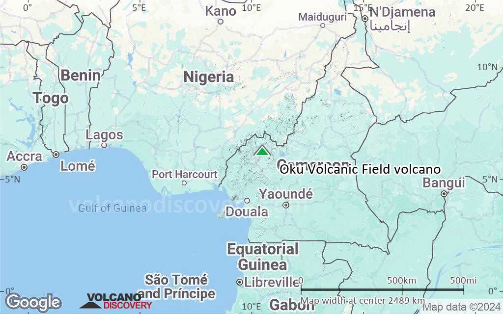
Terrain-type map of Oku Volcanic Field volcano (world scale)
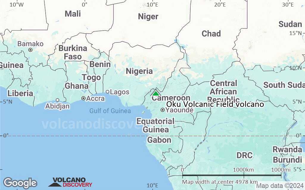
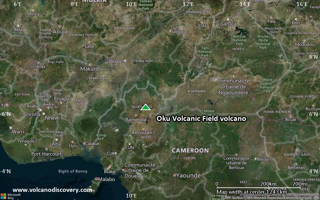
Satellite/aerial-type map of Oku Volcanic Field volcano (region scale large)
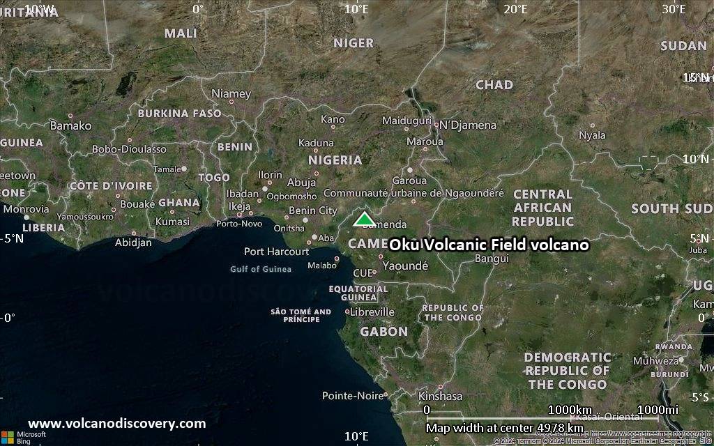
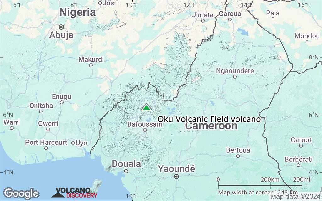
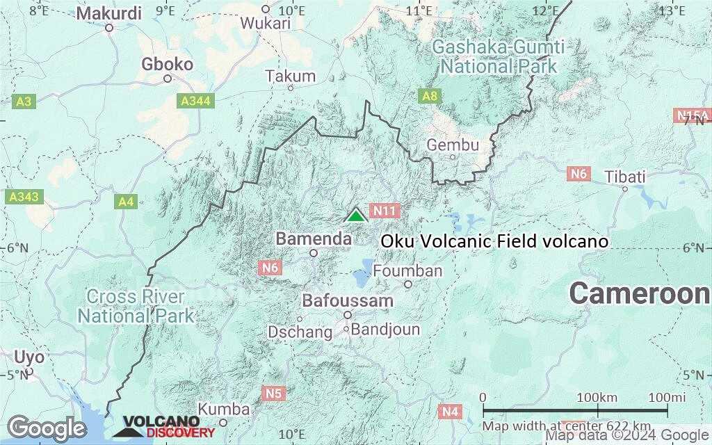
Terrain-type map of Oku Volcanic Field volcano (region scale large)
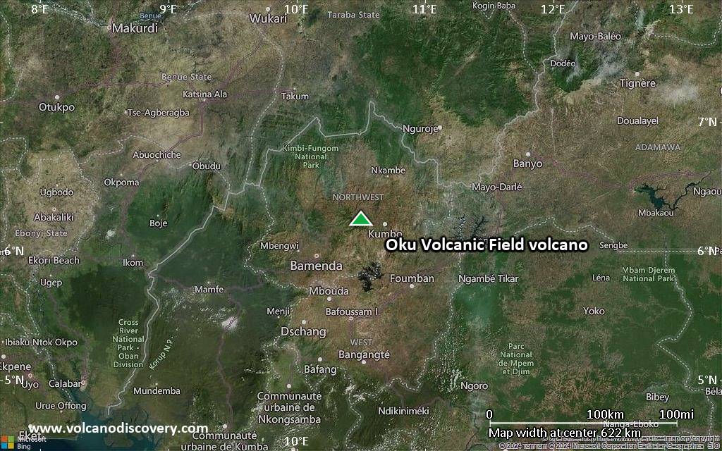
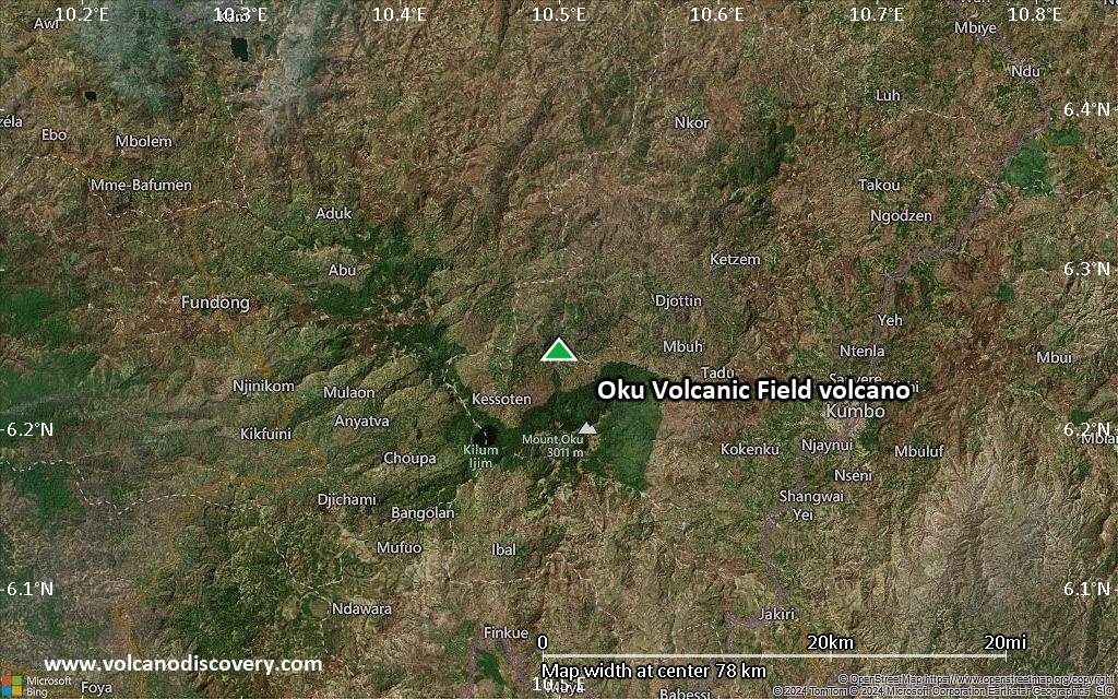
Satellite/aerial-type map of Oku Volcanic Field volcano (region scale medium)
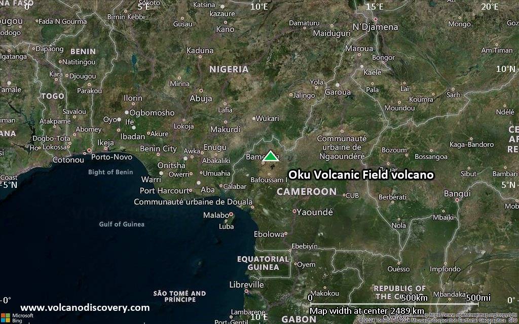
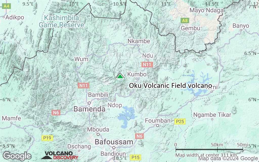
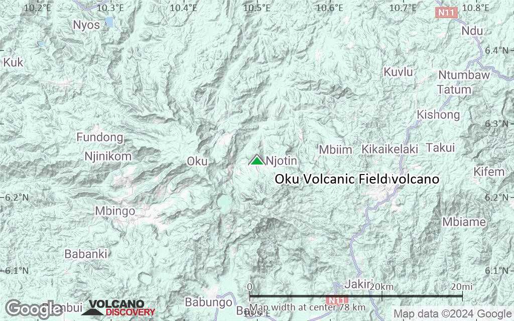
Terrain-type map of Oku Volcanic Field volcano (region scale medium)
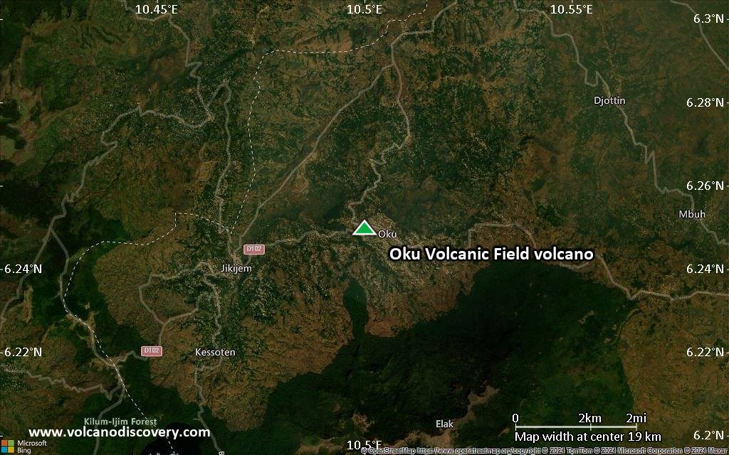
Satellite/aerial-type map of Oku Volcanic Field volcano (region scale small)
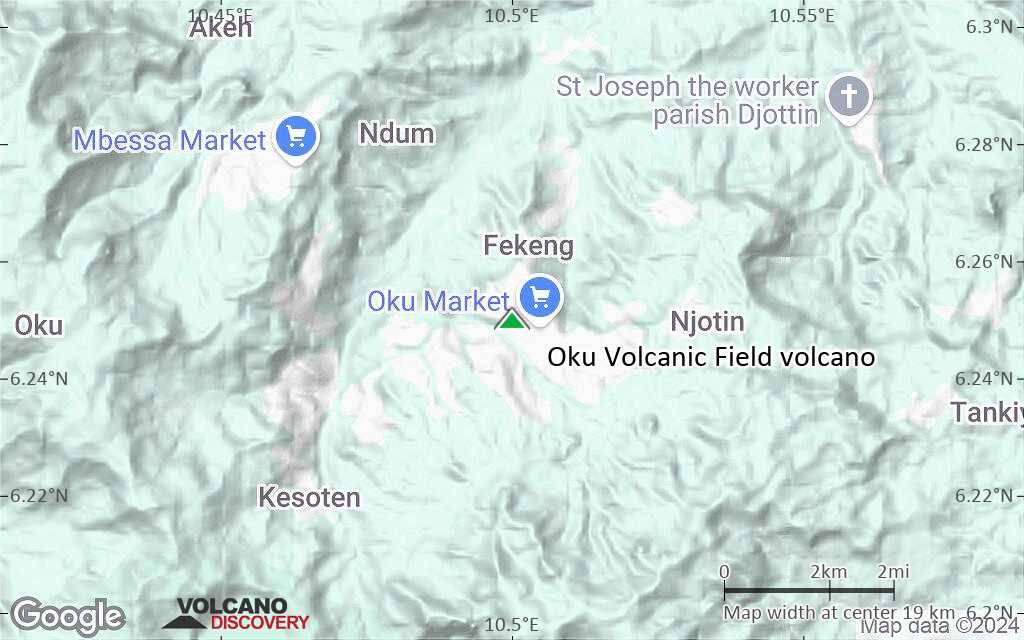
Terrain-type map of Oku Volcanic Field volcano (region scale small)
Satellite/aerial-type map of Oku Volcanic Field volcano (local scale large)
Terrain-type map of Oku Volcanic Field volcano (local scale large)

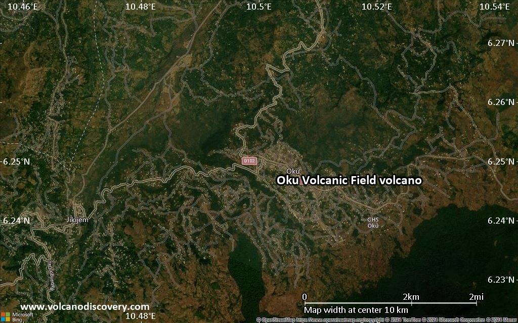
Satellite/aerial-type map of Oku Volcanic Field volcano (local scale medium)
Terrain-type map of Oku Volcanic Field volcano (local scale medium)
Satellite/aerial-type map of Oku Volcanic Field volcano (local scale small)
Terrain-type map of Oku Volcanic Field volcano (local scale small)
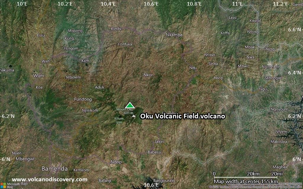
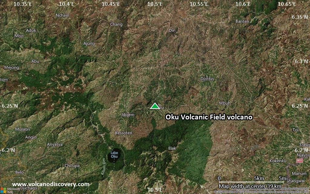
Satellite/aerial-type map of Oku Volcanic Field volcano (scale of 10s of km)
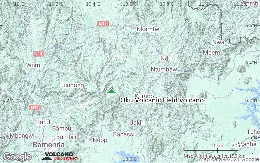
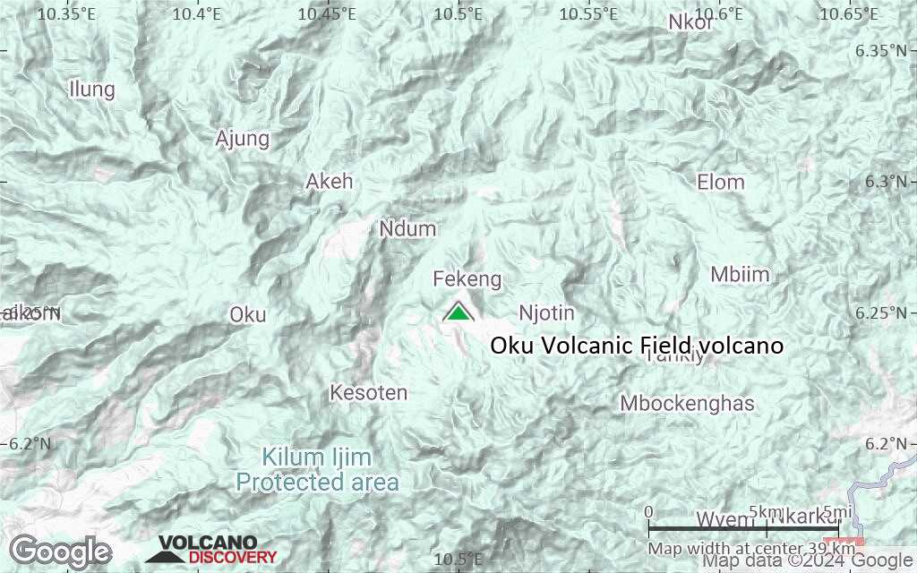
Terrain-type map of Oku Volcanic Field volcano (scale of 10s of km)
Satellite/aerial-type map of Oku Volcanic Field volcano (scale of 20-40 km)
Terrain-type map of Oku Volcanic Field volcano (scale of 20-40 km)
Satellite/aerial-type map of Oku Volcanic Field volcano (scale of approx. 10-20 km)
Terrain-type map of Oku Volcanic Field volcano (scale of approx. 10-20 km)
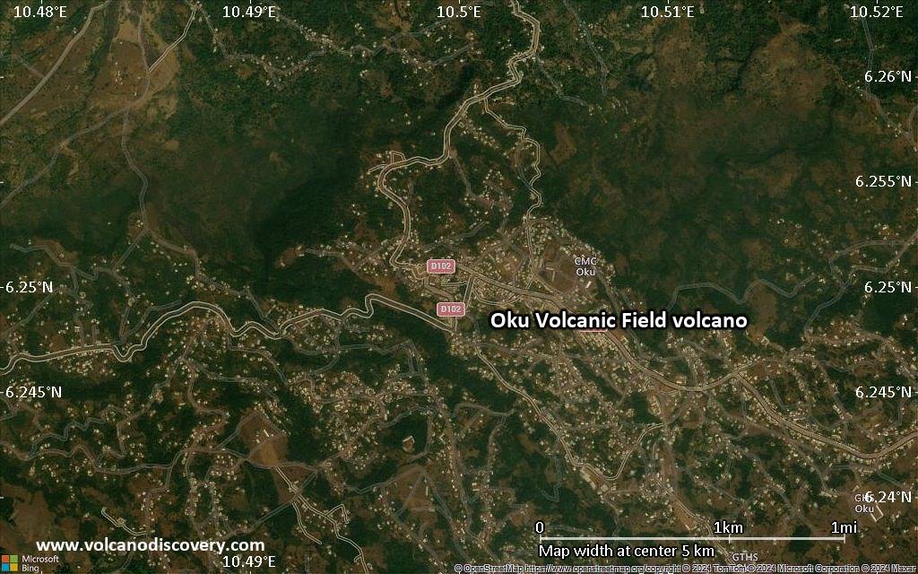
Satellite/aerial-type map of Oku Volcanic Field volcano (scale of 5-10 km)
Satellite/aerial-type map of Oku Volcanic Field volcano (scale of few kilometers)