Olot Field Volcano
Updated: Jul 4, 2025 15:28 GMT -
stratovolcano, cinder cones
Spain, 42.14°N / 2.54°E 
Summit height: 893 m
Current status: normal or dormant (1 out of 5)
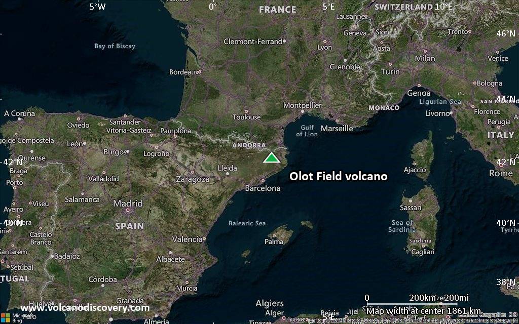
The Quaternary Olot (Garrotxa) volcanic field occupies the NE corner of Spain south of the Pyrenees Mountains about 90 km NNE of Barcelona.
[smaller] [larger]
Olot Field volcano eruptions: probably 11500 years ago
Latest nearby earthquakes
| Date and Time | Mag / Depth | Distance / Location | |||
|---|---|---|---|---|---|
| Jul 4, 11:07 am (GMT +2) | 0.6 0 km | 17 km (10.5 mi) to the NE | Info | ||
| Thursday, July 3, 2025 GMT (2 quakes) | |||||
| Jul 3, 09:01 am (GMT +2) | 1.0 12 km | 13 km (8.3 mi) to the W | Info | ||
| Jul 3, 12:27 am (Universal Time) | 1.8 14 km | 13 km (8 mi) to the W | Info | ||
| Wednesday, July 2, 2025 GMT (1 quake) | |||||
| Jul 2, 08:31 pm (GMT +2) | 0.8 20 km | 14 km (9 mi) to the W | Info | ||
Background
The Olot volcanic field consists of a large number of strombolian pyroclastic cones and associated alkali basaltic lava flows and is part of the NE Volcanic Province, which includes the Ampurdán and Selva areas to the SE. The pyroclastic cones are preferentially located at the intersection of E-W and NW-SE faults that cut sedimentary and metamorphic basement rocks. The latest dated eruption is a lava flow whose age was determined by thermoluminescence at 11,500 +/- 1100 years before present. More recent eruptions are possible but not confirmed (Mallarach 1993, pers. comm.). Source: Smithsonian GVPLatest satellite images
Olot Field Volcano Maps
Below is a selection of maps showing the location and surroundings of the volcano at various resolutions based on aerial-imagery / terrain maps. Feel free to use them for non-commercial purposes on your blog or website as long as you credit them with a link back to this page (click to copy it).
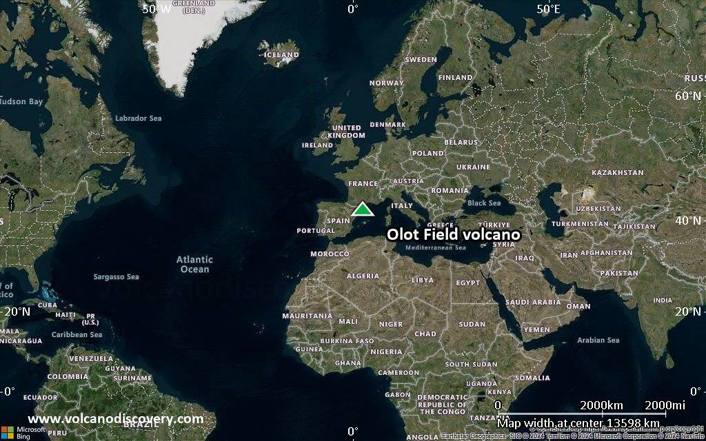
Satellite/aerial-type map of Olot Field volcano (world scale)
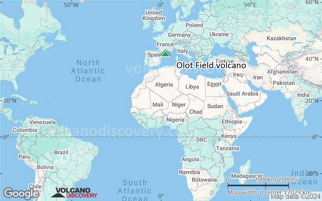
Terrain-type map of Olot Field volcano (world scale)
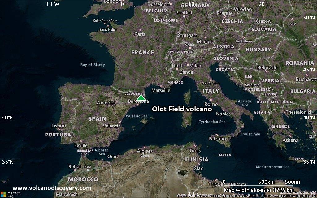
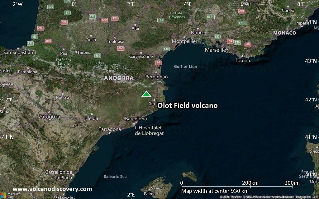
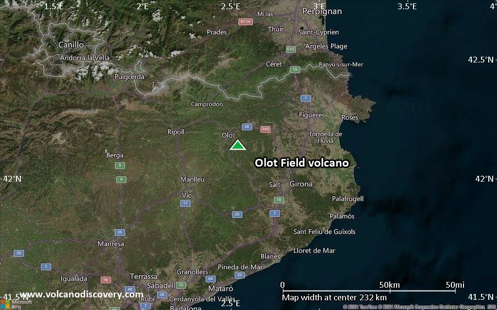
Satellite/aerial-type map of Olot Field volcano (region scale large)
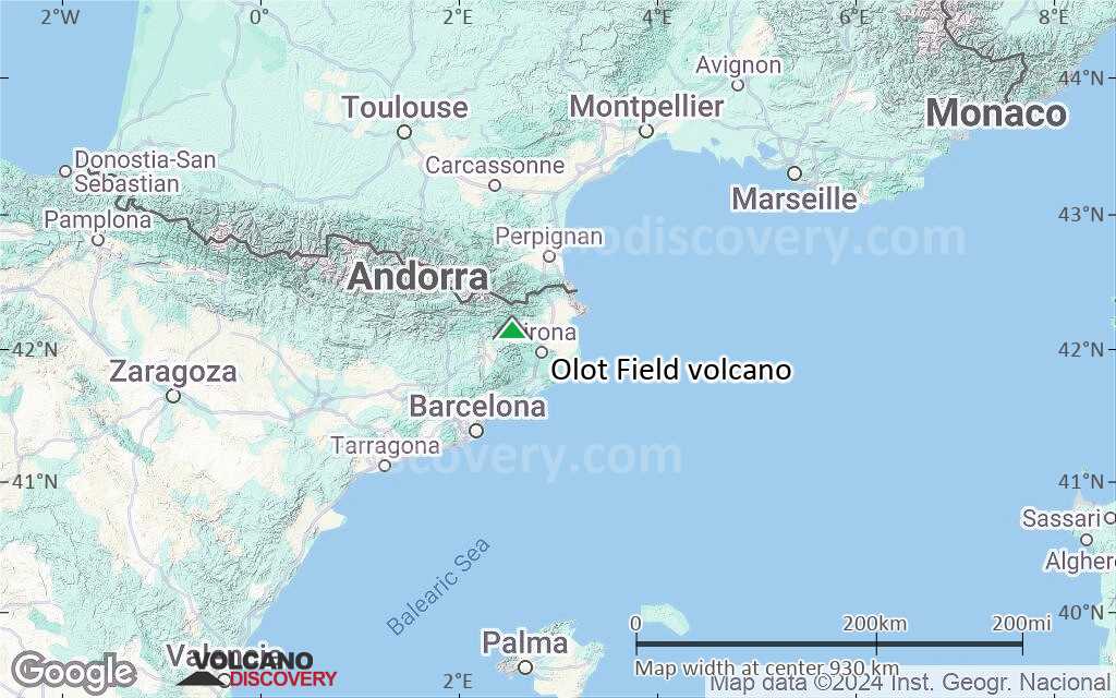
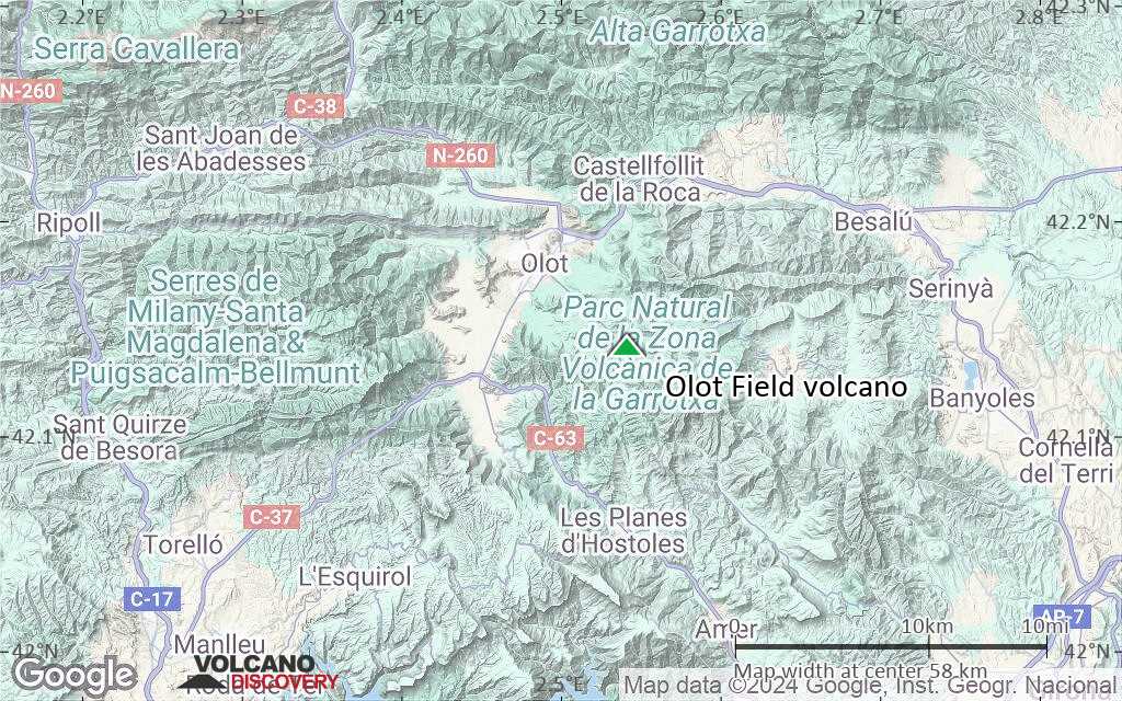
Terrain-type map of Olot Field volcano (region scale large)
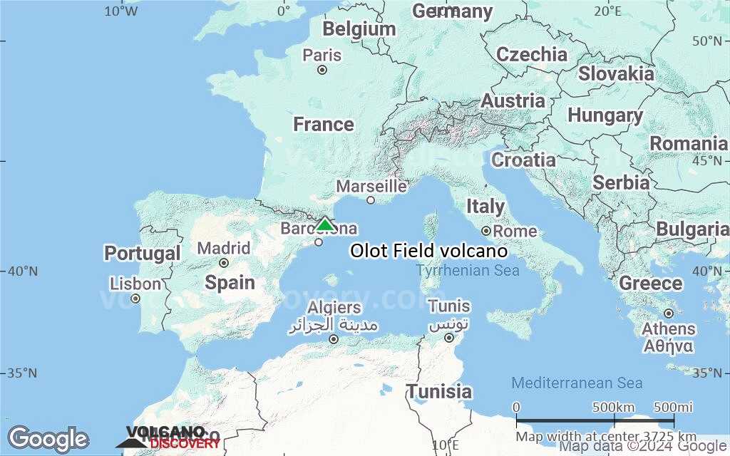
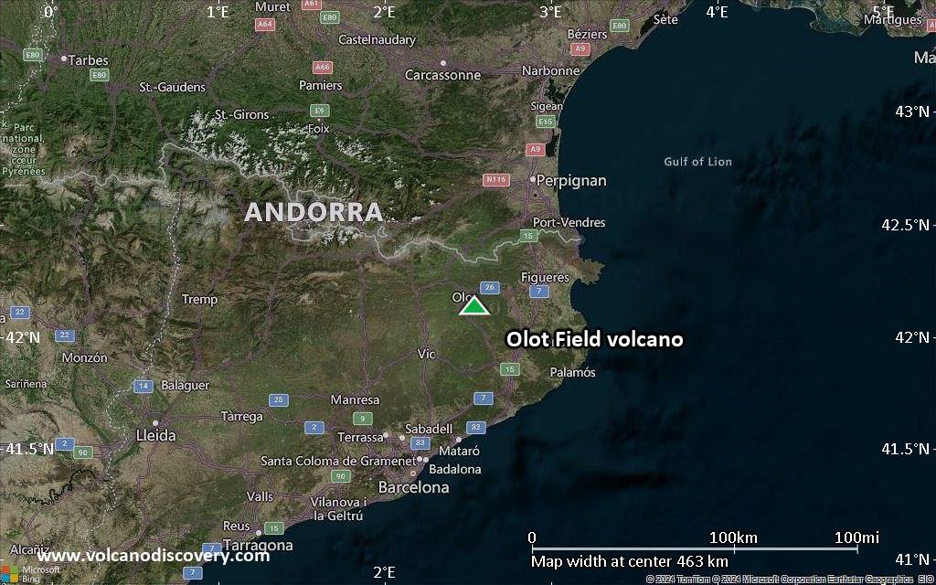
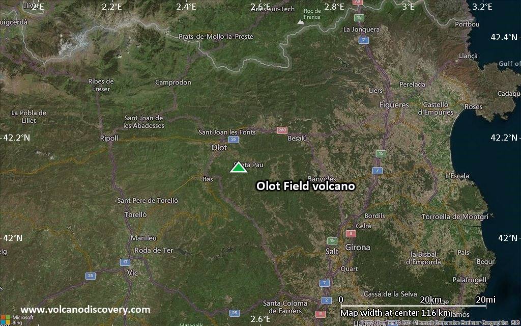
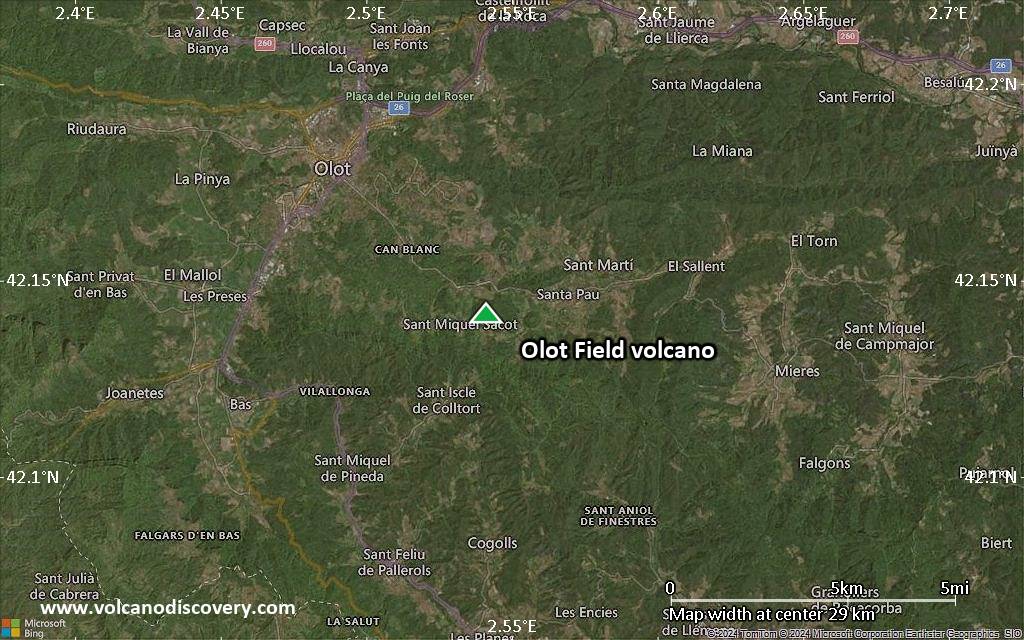
Satellite/aerial-type map of Olot Field volcano (region scale medium)

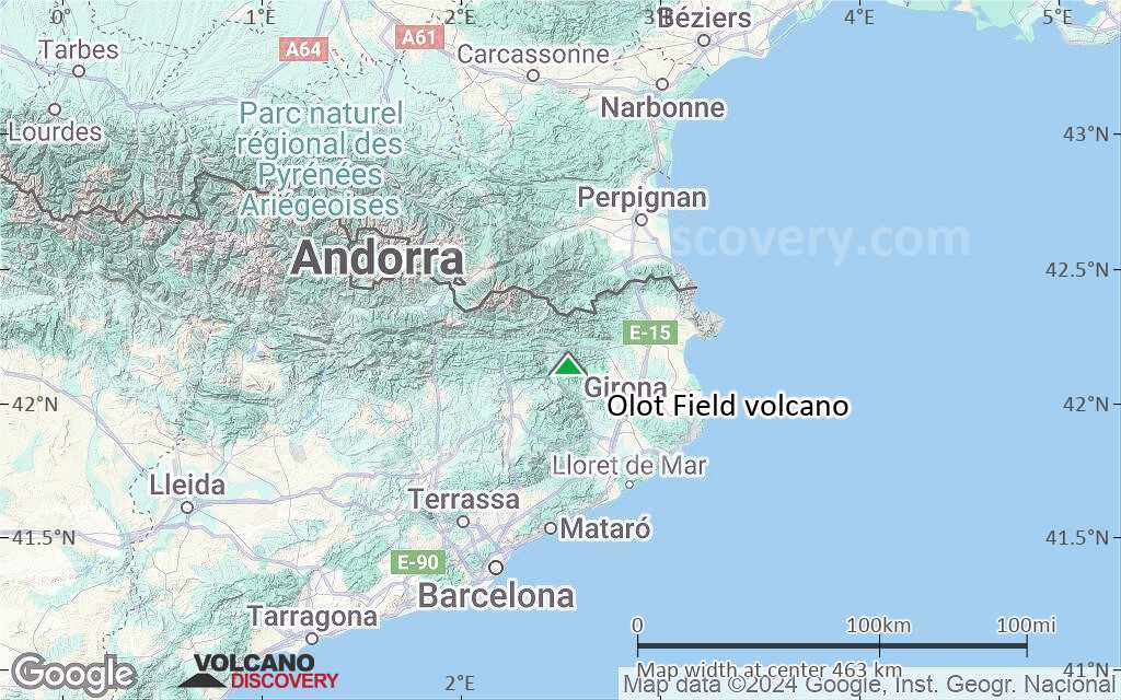
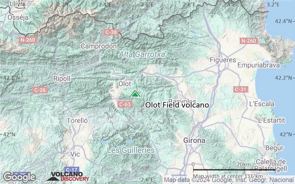
Terrain-type map of Olot Field volcano (region scale medium)
Satellite/aerial-type map of Olot Field volcano (region scale small)
Terrain-type map of Olot Field volcano (region scale small)
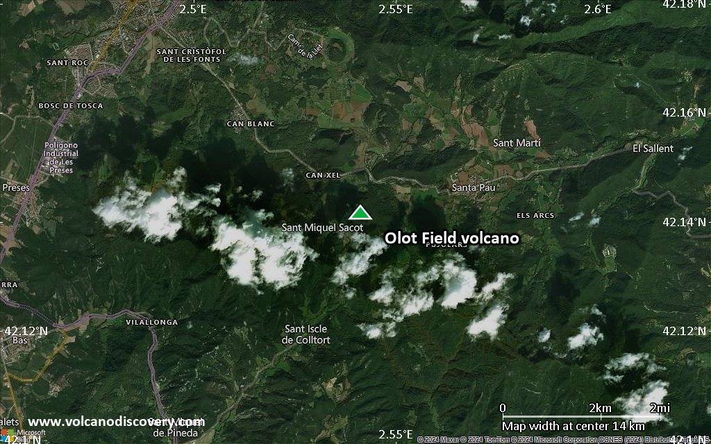
Satellite/aerial-type map of Olot Field volcano (local scale large)
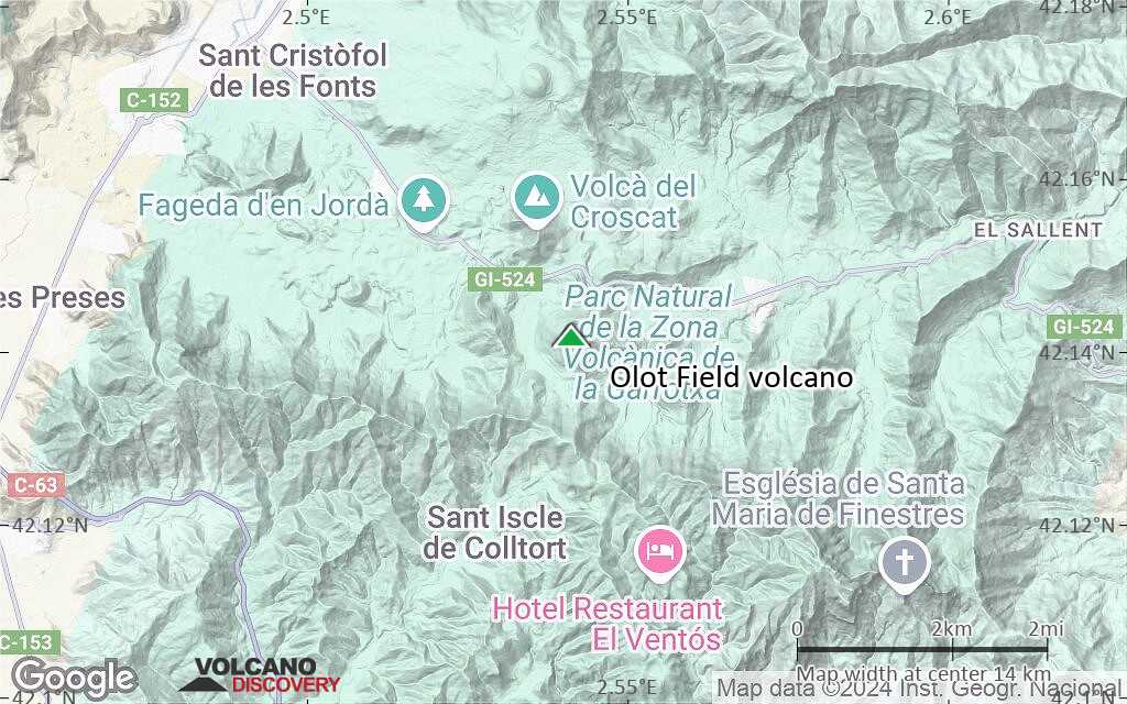
Terrain-type map of Olot Field volcano (local scale large)
Satellite/aerial-type map of Olot Field volcano (local scale medium)

Terrain-type map of Olot Field volcano (local scale medium)
Satellite/aerial-type map of Olot Field volcano (local scale small)
Terrain-type map of Olot Field volcano (local scale small)
Satellite/aerial-type map of Olot Field volcano (scale of 10s of km)
Terrain-type map of Olot Field volcano (scale of 10s of km)
Satellite/aerial-type map of Olot Field volcano (scale of 20-40 km)

Terrain-type map of Olot Field volcano (scale of 20-40 km)
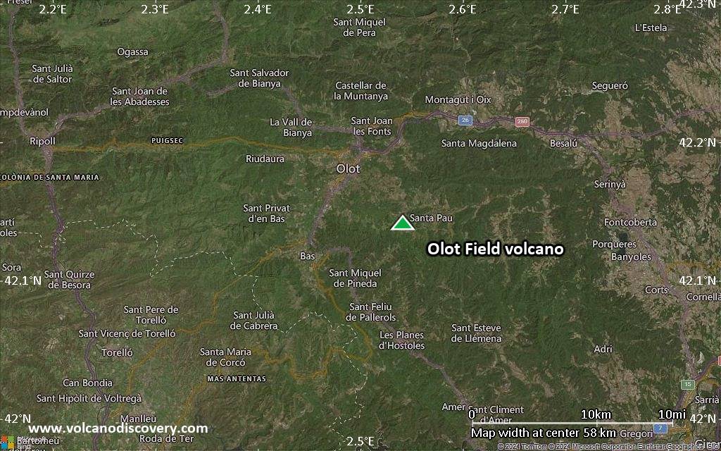
Satellite/aerial-type map of Olot Field volcano (scale of approx. 10-20 km)
Terrain-type map of Olot Field volcano (scale of approx. 10-20 km)
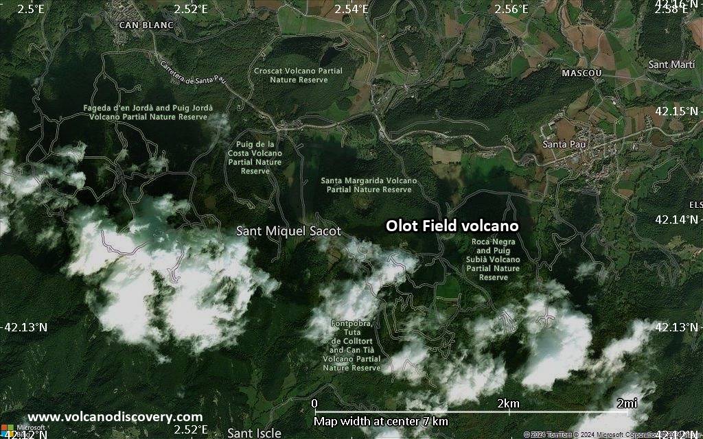
Satellite/aerial-type map of Olot Field volcano (scale of 5-10 km)
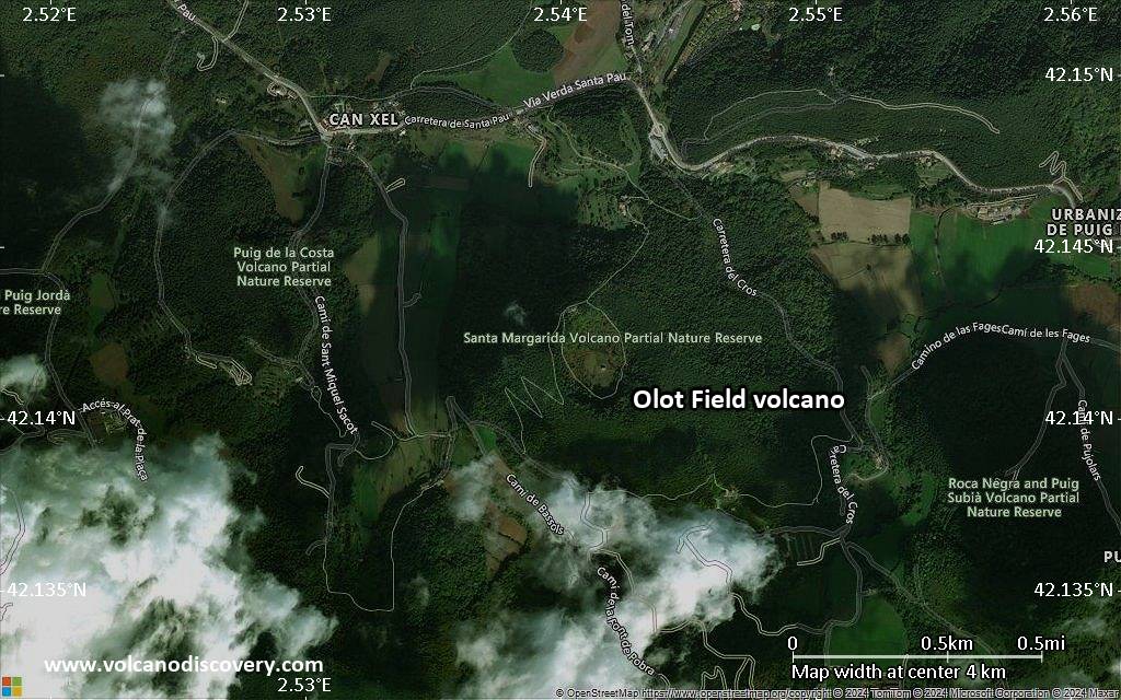
Satellite/aerial-type map of Olot Field volcano (scale of few kilometers)