Pacaya Volcano
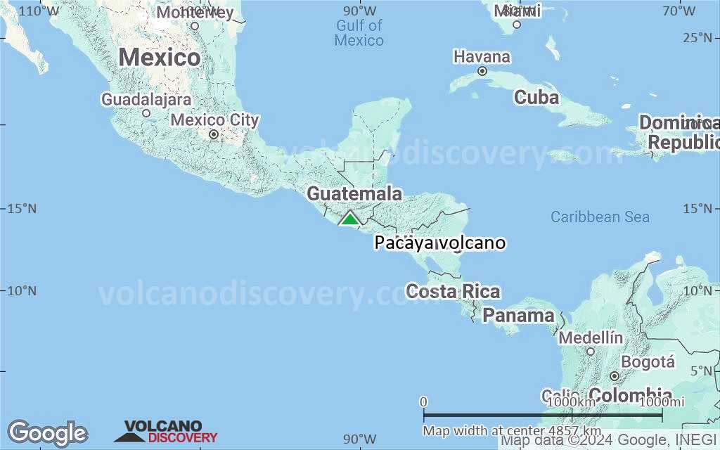
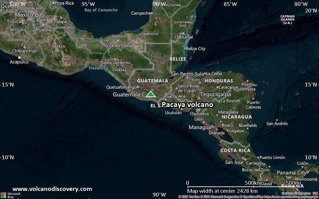
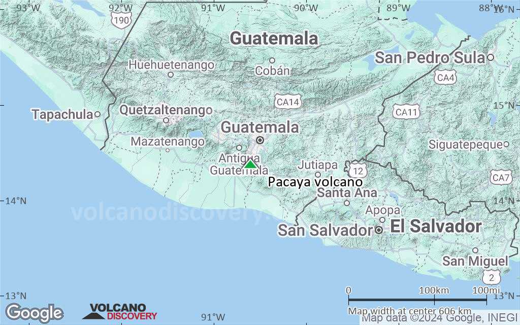
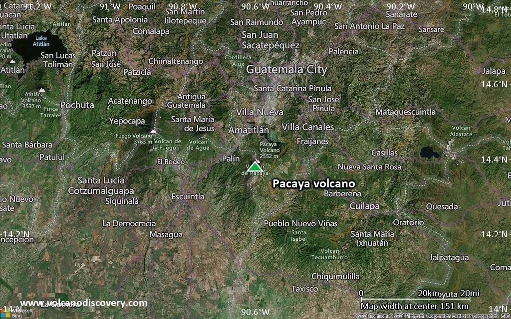
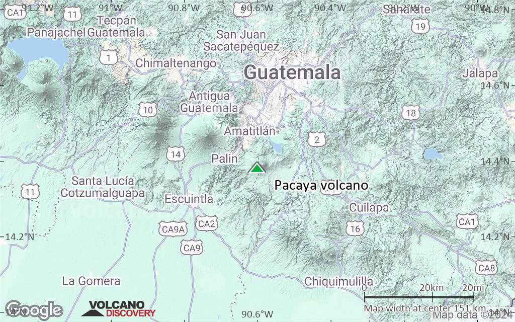
Pacaya volcano near Guatemala City is one of Guatemala's most active volcanoes, and its frequent eruptions are often visible from Guatemala City. Typical activity in recent years includes strombolian activity, lava flow emission and intermittend violent phases of lava fountaining.
Pacaya volcano eruptions: 1360, 1565, 1623(?), 1651, 1655, 1664, 1668, 1671, 1674, 1677(?), 1678, 1690, 1693, 1699, 1717(?), 1760(?), 1775, 1805, 1830(?), 1846, 1885, 1961, 1965, 1970, 1972, 1973, 1976, 1977, 1978, 1980 - May 1998 (intense period of summit activity), 1999-2003, 2004-2010, 2012, 2013, 2014
Latest nearby earthquakes
| Date and Time | Mag / Depth | Distance / Location | |||
|---|---|---|---|---|---|
Background
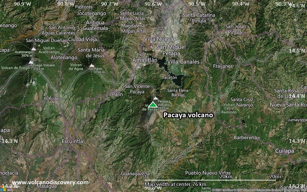
Pacaya is a complex basaltic volcano constructed just outside the southern topographic rim of the 14 x 16 km Pleistocene Amatitlán caldera. A cluster of dacitic lava domes occupies the southern caldera floor. The post-caldera Pacaya massif includes the Cerro Grande lava dome and a younger volcano to the SW. Collapse of Pacaya volcano about 1100 years ago produced a debris-avalanche deposit that extends 25 km onto the Pacific coastal plain and left an arcuate somma rim inside which the modern Pacaya volcano (MacKenney cone) grew. A subsidiary crater, Cerro Chino, was constructed on the NW somma rim and was last active in the 19th century.During the past several decades, activity at Pacaya has consisted of frequent strombolian eruptions with intermittent lava flow extrusion that has partially filled in the caldera moat and armored the flanks of MacKenney cone, punctuated by occasional larger explosive eruptions that partially destroy the summit of the cone.
Source: GVP
Pacaya Volcano Photos


Significant volcanic eruptions: Pacaya volcano
Additionally, there are 4 uncertain or discredited eruptions from Pacaya volcano.
| Date | Note | VEI | Deaths | Damage | |
|---|---|---|---|---|---|
| MacKenney Crater Historical obs./docs. | 1 | ||||
| 2021 Mar (eruption | Historical obs./docs. | 1 | light | Info | |
| MacKenney Crater Historical obs./docs. | 1 | ||||
| MacKenney Crater Historical obs./docs. | 2 | ||||
| MacKenney Cone Historical obs./docs. | 3 | ||||
| 2010 May 27 (eruptive episode | Historical obs./docs. | 1 | 1 | light | Info |
| MacKenney Cone and lower S flank Historical obs./docs. | 3? | ||||
| MacKenney Crater Historical obs./docs. | 1? | ||||
| MacKenney Crater Historical obs./docs. | 1 | ||||
| MacKenney Crater Historical obs./docs. | 1 | ||||
| MacKenney Crater and flank vents Historical obs./docs. | 3 | ||||
| 1995 Apr 7 (eruption | Historical obs./docs. | 3 | 1 | light | Info |
| MacKenney Crater and flank vents Historical obs./docs. | 3 | ||||
| 1987 Jan 25 (eruption | Historical obs./docs. | 3 | light | Info | |
| Cachajinas vent (South flank, 1860 m) Historical obs./docs. | 2 | ||||
Historical obs./docs. | 2 | ||||
| Cerro Chino Historical obs./docs. | 2 | ||||
?? | Uncertain Eruption | ? | |||
Historical obs./docs. | 2 | ||||
| Cerro Chino (SW flank and summit) Historical obs./docs. | 3 | ||||
?? | Uncertain Eruption | ? | |||
?? | Uncertain Eruption | ? | |||
Pacaya Volcano FAQ
+When was the last eruption of Pacaya volcano?
The last confirmed eruption of Pacaya occurred during 2015 - 2021.
+How often does Pacaya volcano erupt?
Since 1565 AD, Pacaya volcano has had at least 28 historically documented eruptions. This means that it erupts on average every 16.4 years.
Many eruptions of Pacaya have lasted more than one year. In total, the volcano has been in eruption during 73 out of 460 years until now. In other words, Pacaya has been active at least one in 6.3 years on average. Note that this value is likely an underestimate, because the known history of eruptions from Pacaya is likely incomplete, especially further back in time.
+How active is Pacaya volcano at present?
Pacaya volcano is extremely active: Since 1900, it has had 55 eruptions, and been active during 55 years out of 126 as of now. This means, Pacaya has been in eruption one in 2.3 years on average. The last eruption was from 2015 until 2021 and ended 4 years ago.
+When was the largest eruption of Pacaya volcano?
The largest eruption of Pacaya volcano in historic times occurred during 2006 - 2010. It ranks as a "vulcanian" eruption with a magnitude 3 on the VEI (Volcanic Explosivity Index) scale.
Latest satellite images
Price $ 3590
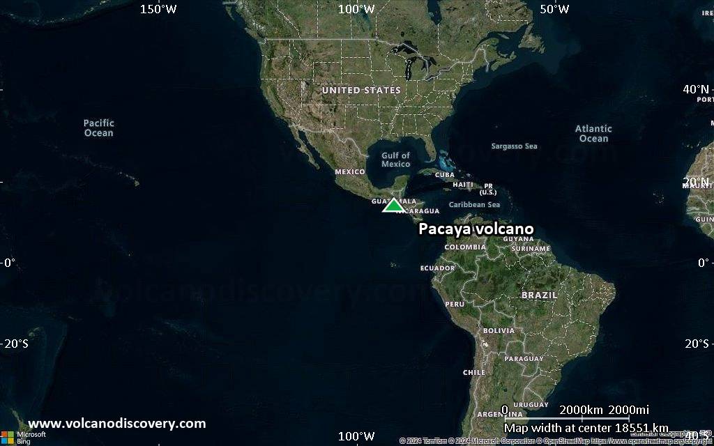
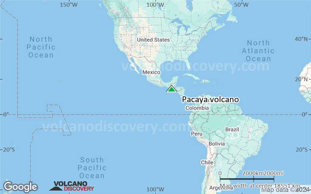
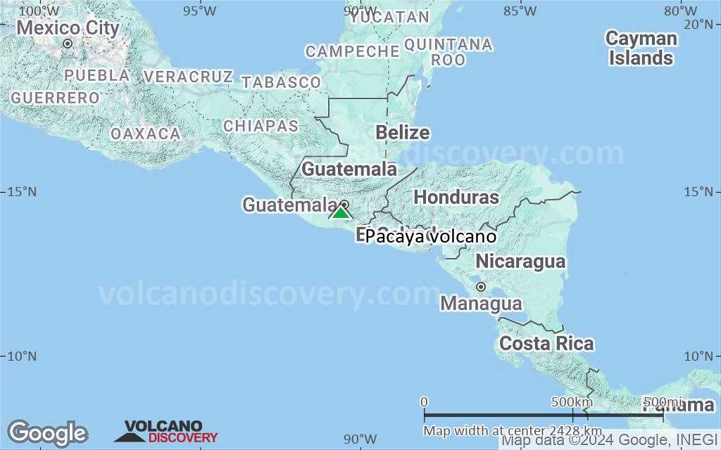
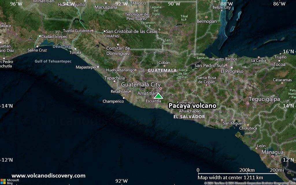
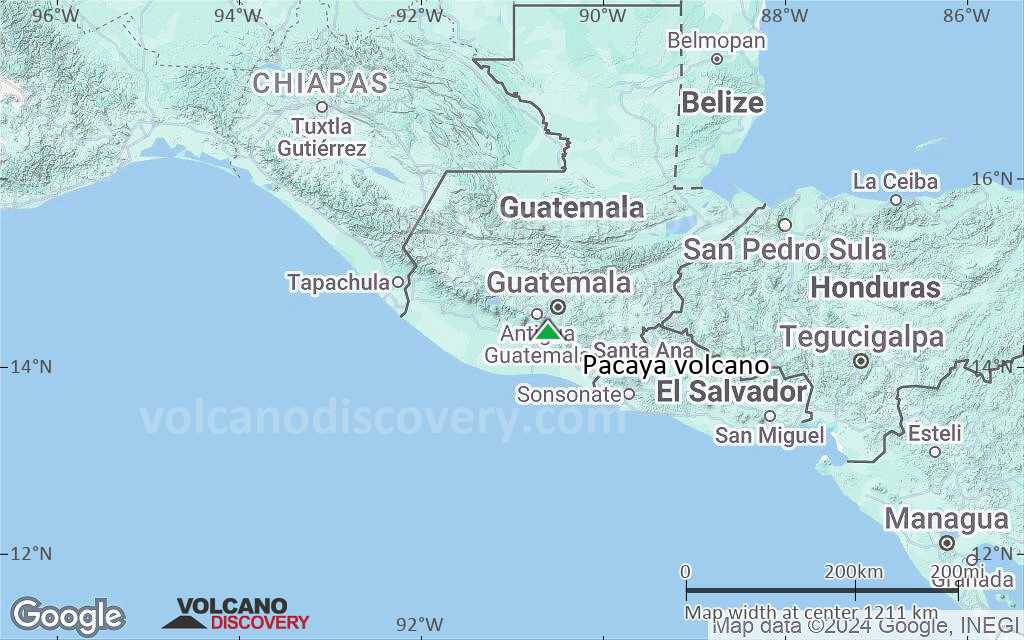
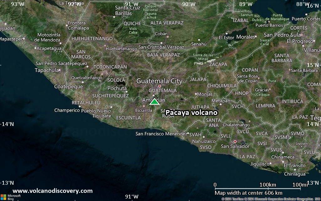
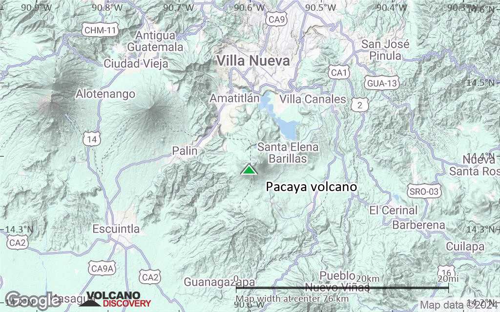
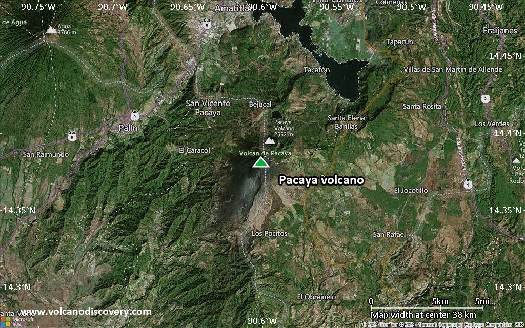
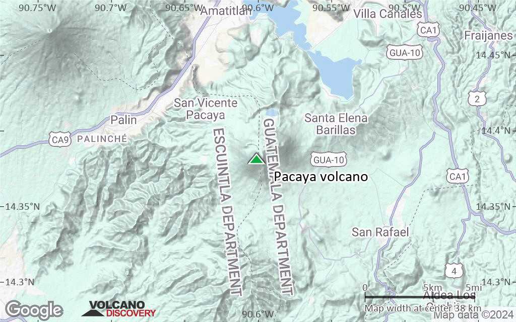
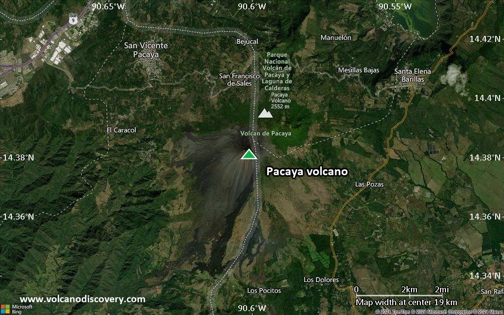
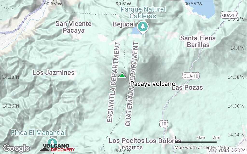
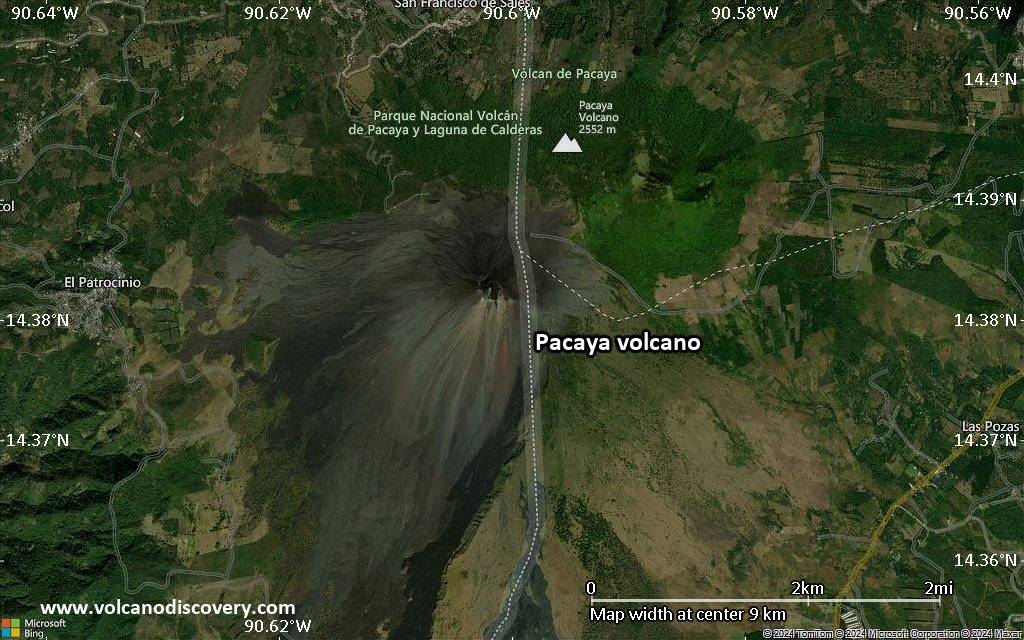
Pacaya Volcano Maps
