


Payún Matru Volcano
Updated: Sep 1, 2025 23:05 GMT -
shield volcano
Central Chile and Argentina (South America), -36.42°S / -69.2°W 
Summit height: 3680 m / 12,073 ft
Current status: normal or dormant (1 out of 5)
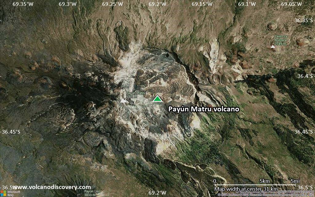
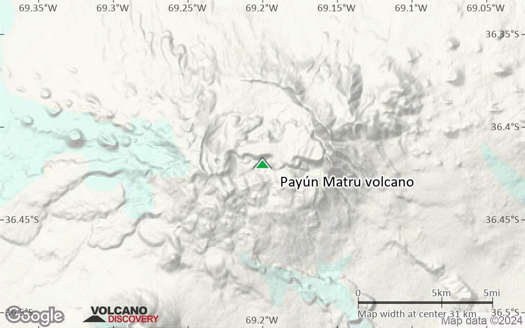
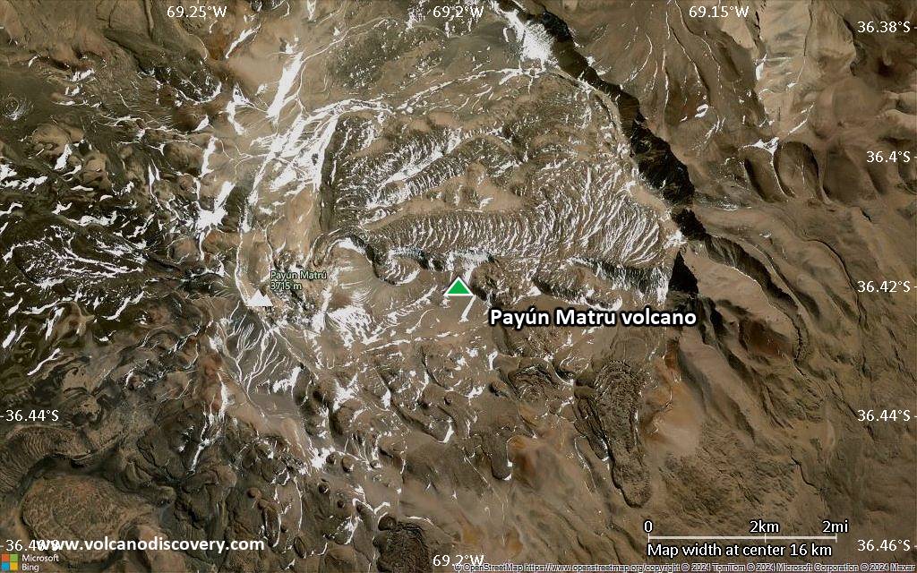
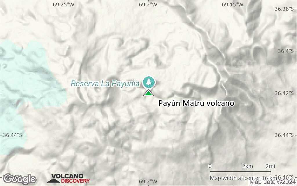
Cerro Payún Matru is a massive Hawaiian-style shield volcano in Argentina located lies 530 km from the oceanic trench, which marks the subduction of the Nazca plate. It contains a 8 x 10 km caldera which was formed after about 168,000 years ago.
[smaller] [larger]
Payún Matru volcano eruptions: unknown
Latest nearby earthquakes
| Date and Time | Mag / Depth | Distance / Location | |||
|---|---|---|---|---|---|
Background
The massif is part of the 5200 km2 Payún Matru volcanic field. On top of SW flank of the caldera, the Cerro Payún stratovolcano was constructed nd formes the highest point.The Pleistocene Pampas Onduladas pahoehoe lava flow traveled 181 km, Earth's longest known Quaternary lava flow.
Post-caldera basaltic eruptions produced more than 300 eruptive centers, mostly along E-W-trending fissures that extend across the entire shield volcano. Fluid aa lava flows from young vents on the west flank known as Los Volcanes traveled more than 10 km. Other vent clusters of are found on the lower NE and southern flanks, and a lava flow from Volcán Santa María on the NW flank traveled 15 km to the NE.
At least 30 trachyandesitic lava domes and basaltic lava flows were erupted contemporaneously with the basaltic fissure eruptions.
Oral traditions note that native tribes were present at the time of the latest eruption.
---
Source: GVP Payún Matru volcano information
Significant volcanic eruptions: Payún Matru volcano
No historic eruptions are known from Payún Matru volcano, but at least one eruption around 5050 BC can be inferred from geological evidence.
The table below lists all known eruptions (date in bold face) of Payún Matru volcano in historic times and during the past 10,000 years. Updates on the most recent volcanic activity of Payún Matru can be found on the news page of Payún Matru volcano.
| Date | Note | VEI | Deaths | Damage | |
|---|---|---|---|---|---|
| Escorial del Matru caldera | 0 | ||||
Remark:
Our list of volcanic eruptions closely follows the database of eruptions of the Smithsonian's Global Volcanism Project (GVP), the internationally most recognized data source for volcanic eruptions, but also includes significant eruptive episodes or related volcano events. "Volcanic eruptions" are usually to be understood as sequences of individual eruptive episodes that can follow each other, or even overlap (if several vents are involved), and can last many years, decades or even longer. For example, the current activity of Stromboli volcano is understood as a single eruption that has been ongoing since 1934.
Sources: NOAA National Centers for Environmental Information (NCEI), Global Significant Volcanic Eruptions Database. doi:10.7289/V5TD9V7K | Global Volcanism Project / Smithsonian Institution
Payún Matru Volcano FAQ
+When was the last eruption of Payún Matru volcano?
The last confirmed eruption of Payún Matru occurred around 5050 BC.
Latest satellite images

Payún Matru Volcano Maps
Below is a selection of maps showing the location and surroundings of the volcano at various resolutions based on aerial-imagery / terrain maps. Feel free to use them for non-commercial purposes on your blog or website as long as you credit them with a link back to this page (click to copy it).
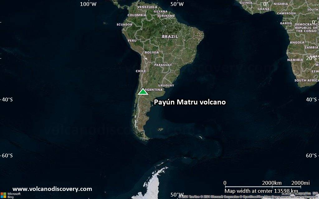
Satellite/aerial-type map of Payún Matru volcano (world scale)

Terrain-type map of Payún Matru volcano (world scale)
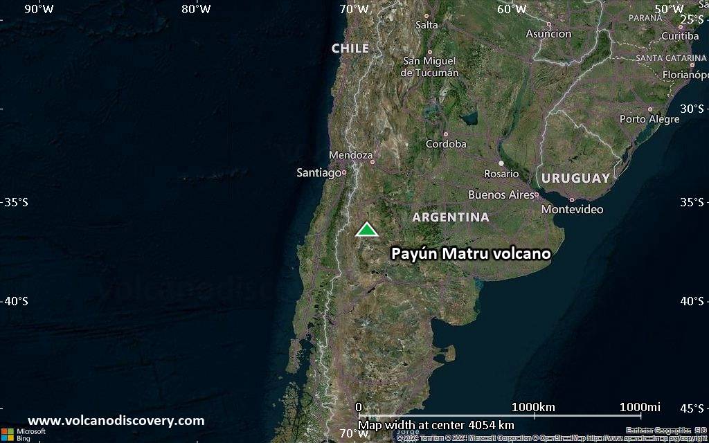
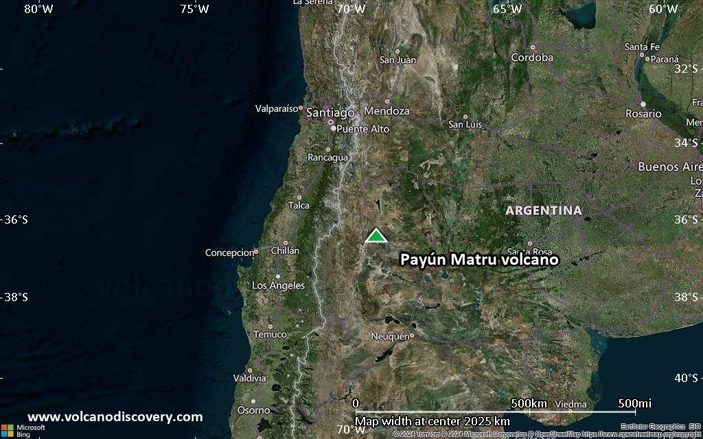
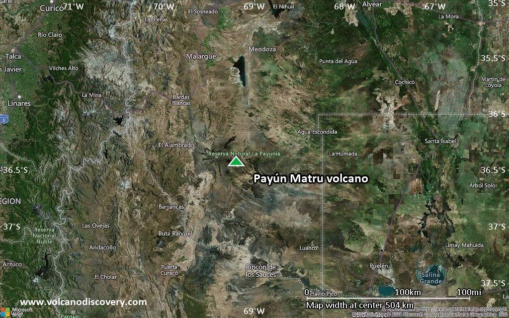
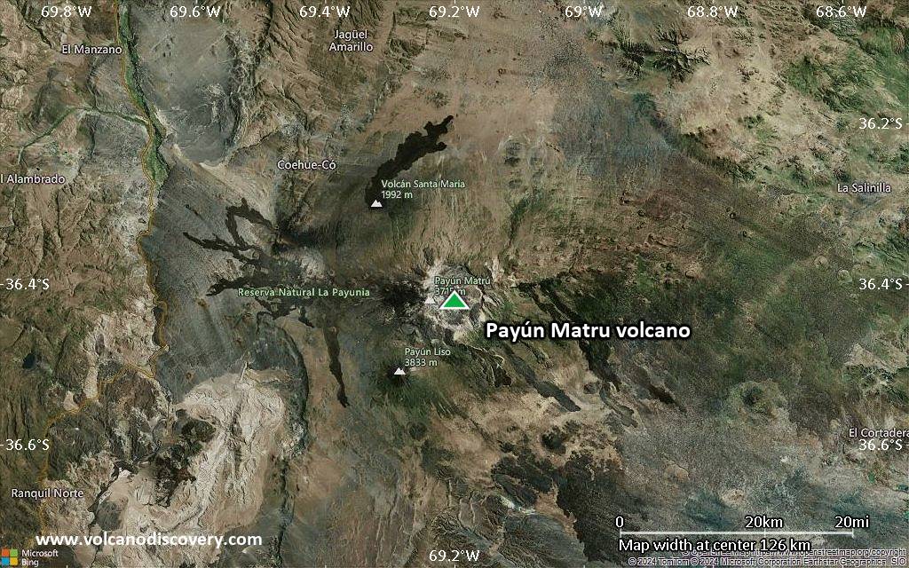
Satellite/aerial-type map of Payún Matru volcano (region scale large)
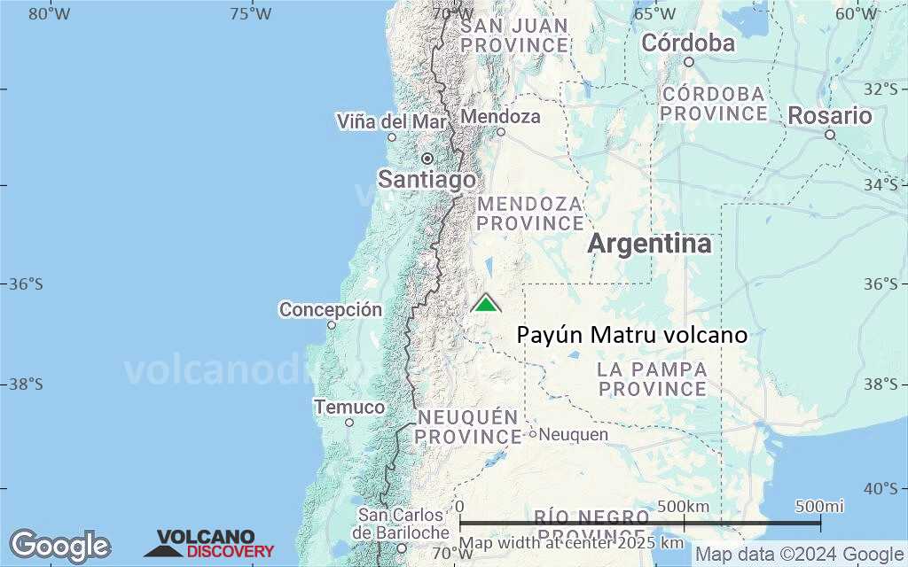
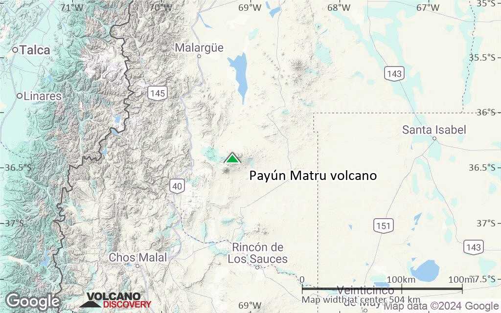
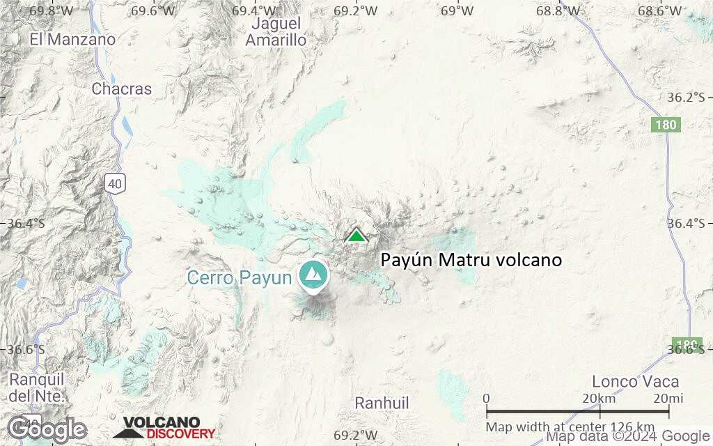
Terrain-type map of Payún Matru volcano (region scale large)
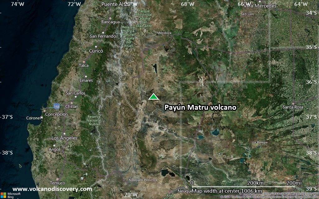
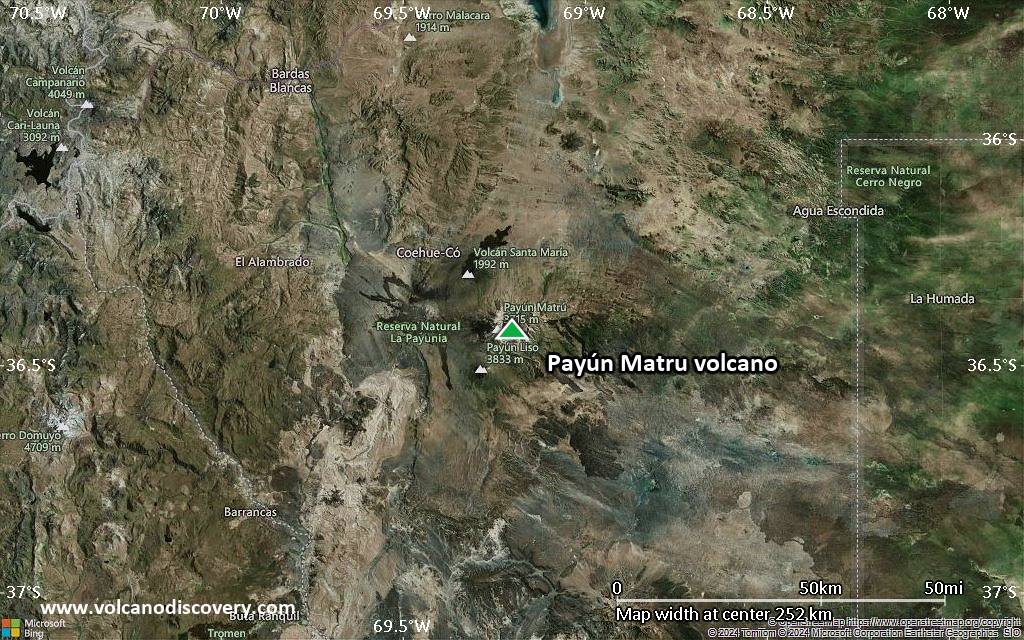
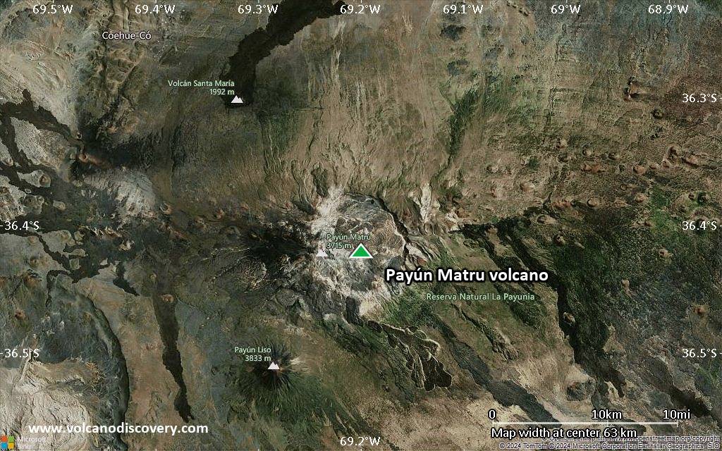
Satellite/aerial-type map of Payún Matru volcano (region scale medium)
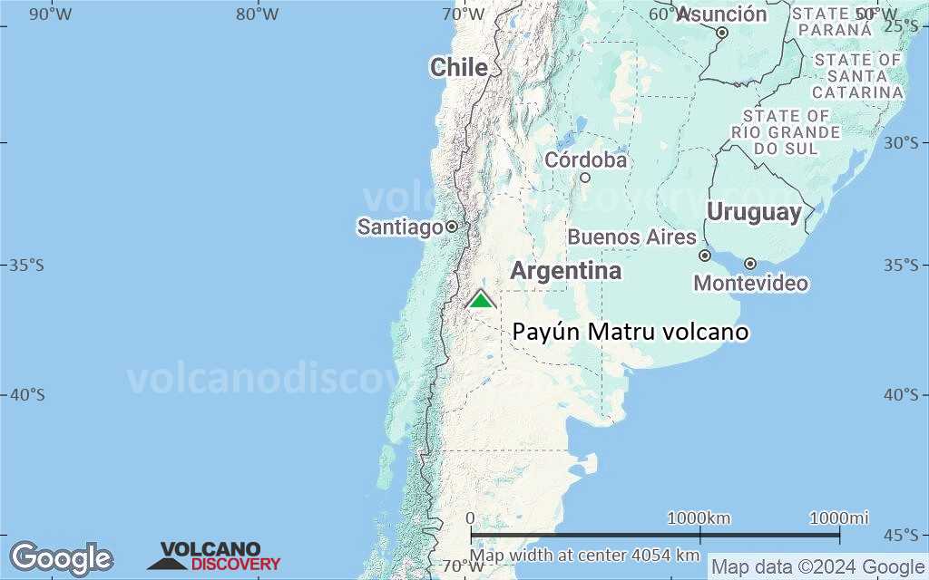
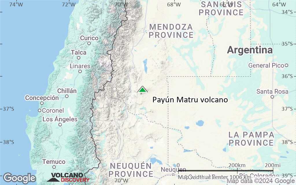
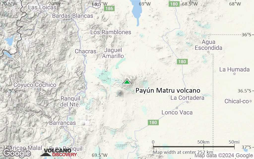
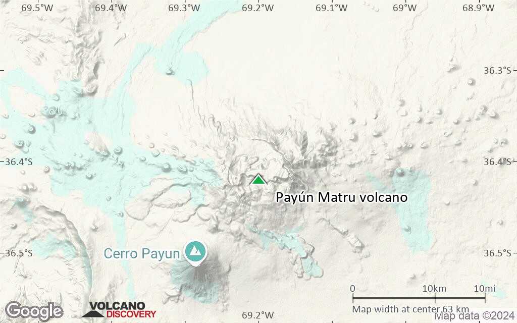
Terrain-type map of Payún Matru volcano (region scale medium)
Satellite/aerial-type map of Payún Matru volcano (region scale small)
Terrain-type map of Payún Matru volcano (region scale small)
Satellite/aerial-type map of Payún Matru volcano (local scale large)
Terrain-type map of Payún Matru volcano (local scale large)
Satellite/aerial-type map of Payún Matru volcano (local scale medium)
Terrain-type map of Payún Matru volcano (local scale medium)
Satellite/aerial-type map of Payún Matru volcano (local scale small)
Terrain-type map of Payún Matru volcano (local scale small)
Satellite/aerial-type map of Payún Matru volcano (scale of 10s of km)
Terrain-type map of Payún Matru volcano (scale of 10s of km)
Satellite/aerial-type map of Payún Matru volcano (scale of 20-40 km)
Terrain-type map of Payún Matru volcano (scale of 20-40 km)
Satellite/aerial-type map of Payún Matru volcano (scale of approx. 10-20 km)
Terrain-type map of Payún Matru volcano (scale of approx. 10-20 km)
Satellite/aerial-type map of Payún Matru volcano (scale of 5-10 km)

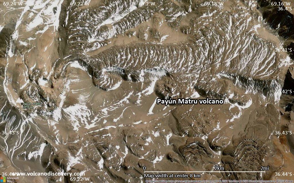
Satellite/aerial-type map of Payún Matru volcano (scale of few kilometers)


