Poco Leok Volcano
Updated: Aug 30, 2025 18:29 GMT -
stratovolcano
Flores (Indonesia), -8.68°S / 120.48°E 
Summit height: 1675 m / 5,495 ft
Current status: normal or dormant (1 out of 5)
Poco Leok volcano is a statovolcano constructed what might be an irregularly shaped 7 km wide caldera in western Flores Island. The highest peaks on the caldera rim are Mt Lus (1675 m), Mt Sesat, Mt Mompong (1383 m), Mt Pitjong, and Mt Mangung (1379 m). It is believed that the Poco Leok and the caldera are still an active, although no historic eruptions are known. 4 active fumarole fields are found inside the caldera between 825 and 1200 m elevation. The Ulumbu geothermal field on the flank of Poco Leok at 650 m elevation includes hot springs, fumaroles, mud ponds and steam vents.
(Source: GVP)
[smaller] [larger]
Poco Leok volcano eruptions: none in historic time
Latest nearby earthquakes
| Date and Time | Mag / Depth | Distance / Location | |||
|---|---|---|---|---|---|
| Aug 31, 01:29 am (GMT +8) | 2.4 122 km | 6.8 km (4.2 mi) to the S | Info | ||
| Friday, August 29, 2025 GMT (1 quake) | |||||
| Aug 30, 07:38 am (GMT +8) | 2.8 120 km | 13 km (7.8 mi) to the SW | Info | ||
| Friday, August 22, 2025 GMT (1 quake) | |||||
| Aug 22, 06:28 am (Universal Time) | 2.1 161 km | 25 km (15 mi) to the N | Info | ||
| Tuesday, August 19, 2025 GMT (2 quakes) | |||||
| Aug 19, 01:54 pm (Universal Time) | 2.2 111 km | 13 km (8.3 mi) to the SE | Info | ||
| Aug 19, 03:03 pm (Makassar) | 3.3 10 km | 18 km (11 mi) to the SE | Info | ||
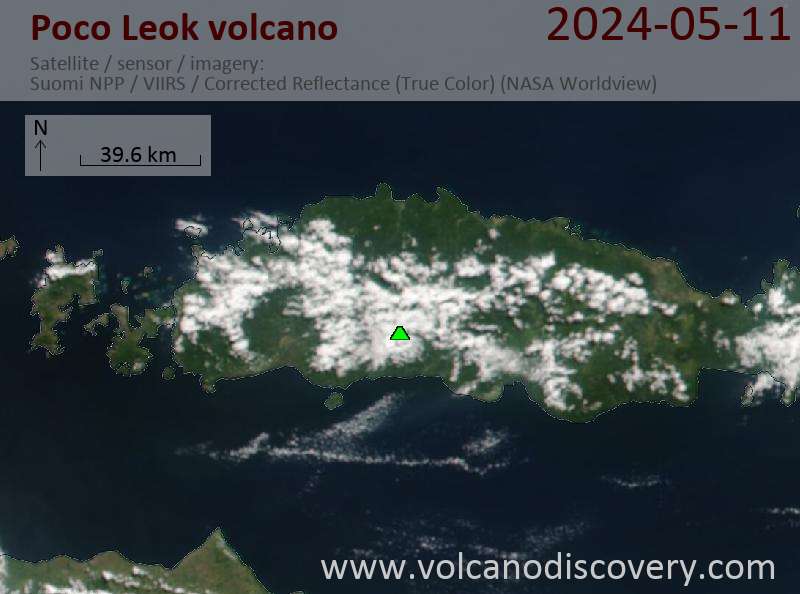
Latest satellite images
Poco Leok Volcano Maps
Below is a selection of maps showing the location and surroundings of the volcano at various resolutions based on aerial-imagery / terrain maps. Feel free to use them for non-commercial purposes on your blog or website as long as you credit them with a link back to this page (click to copy it).
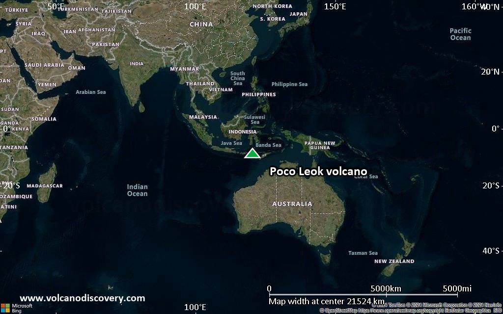
Satellite/aerial-type map of Poco Leok volcano (world scale)
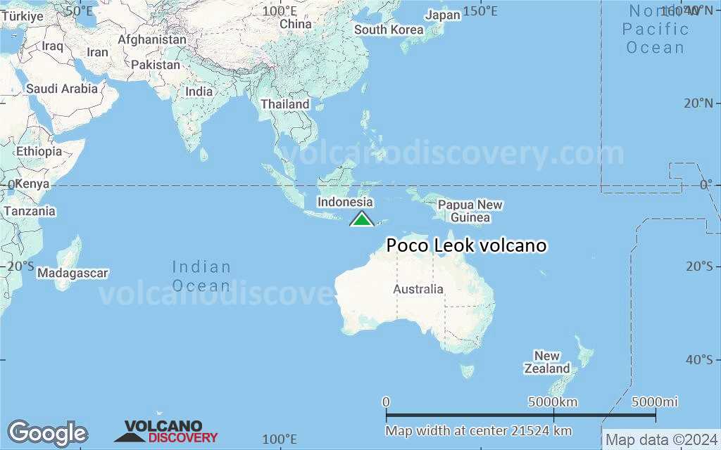
Terrain-type map of Poco Leok volcano (world scale)
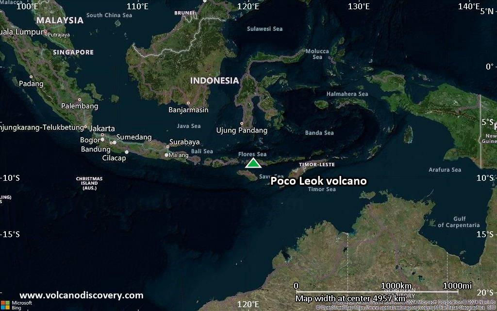
Satellite/aerial-type map of Poco Leok volcano (region scale large)

Terrain-type map of Poco Leok volcano (region scale large)

Satellite/aerial-type map of Poco Leok volcano (region scale medium)
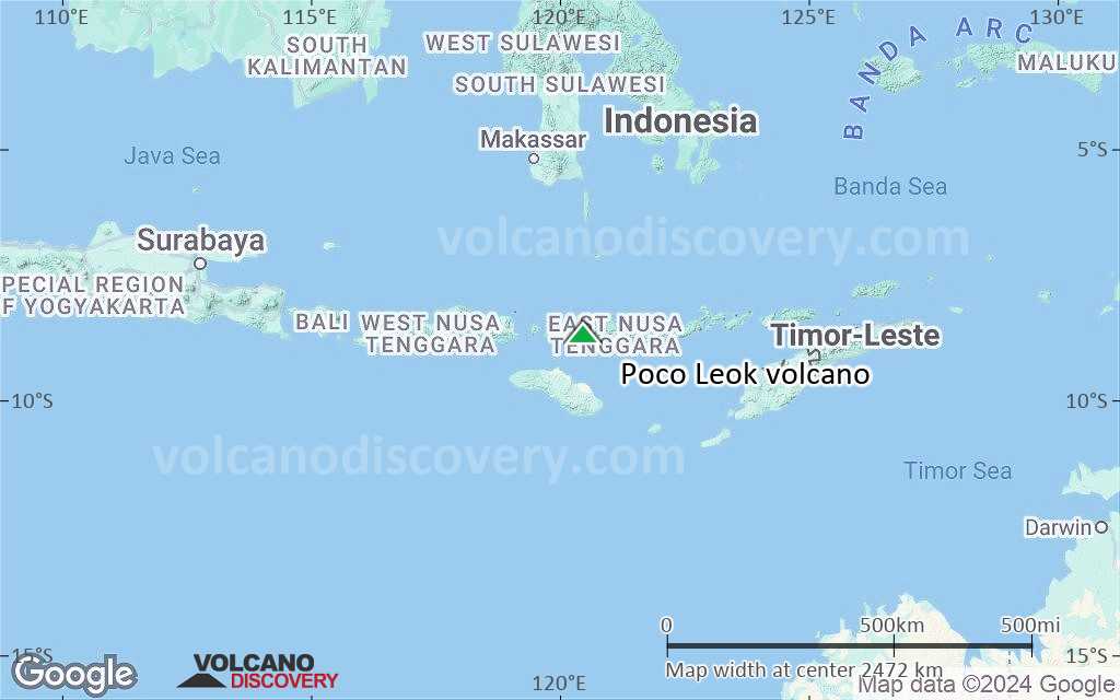
Terrain-type map of Poco Leok volcano (region scale medium)
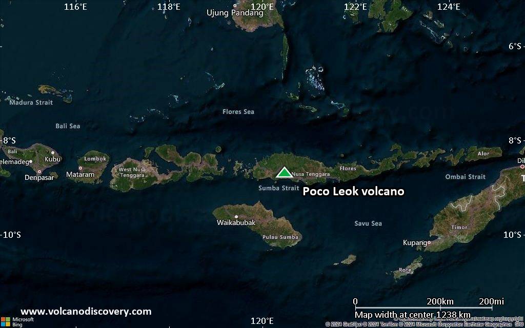
Satellite/aerial-type map of Poco Leok volcano (region scale small)
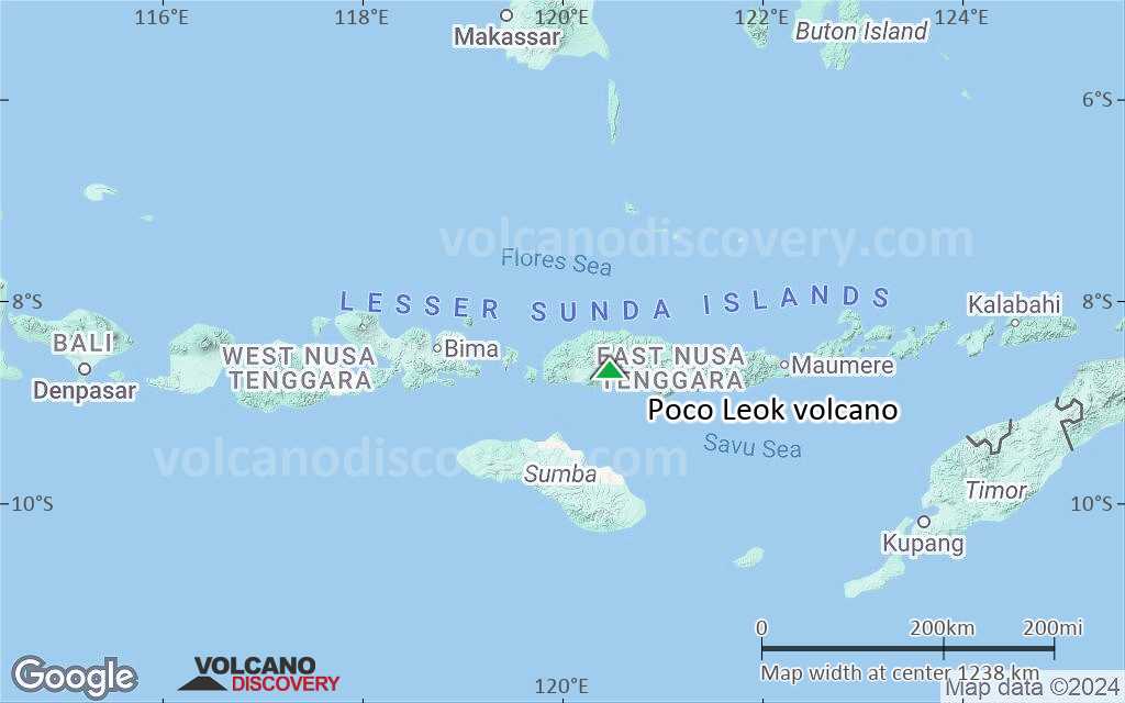
Terrain-type map of Poco Leok volcano (region scale small)
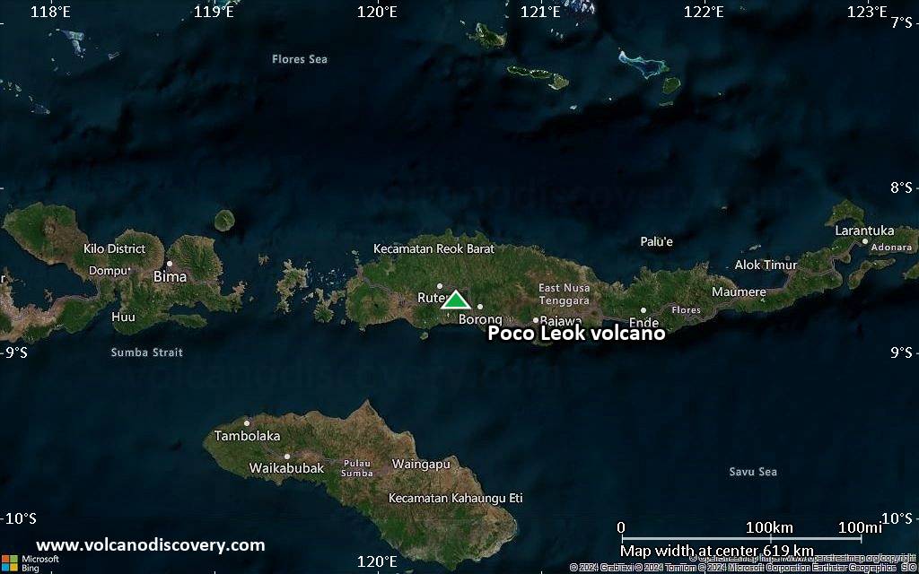
Satellite/aerial-type map of Poco Leok volcano (local scale large)
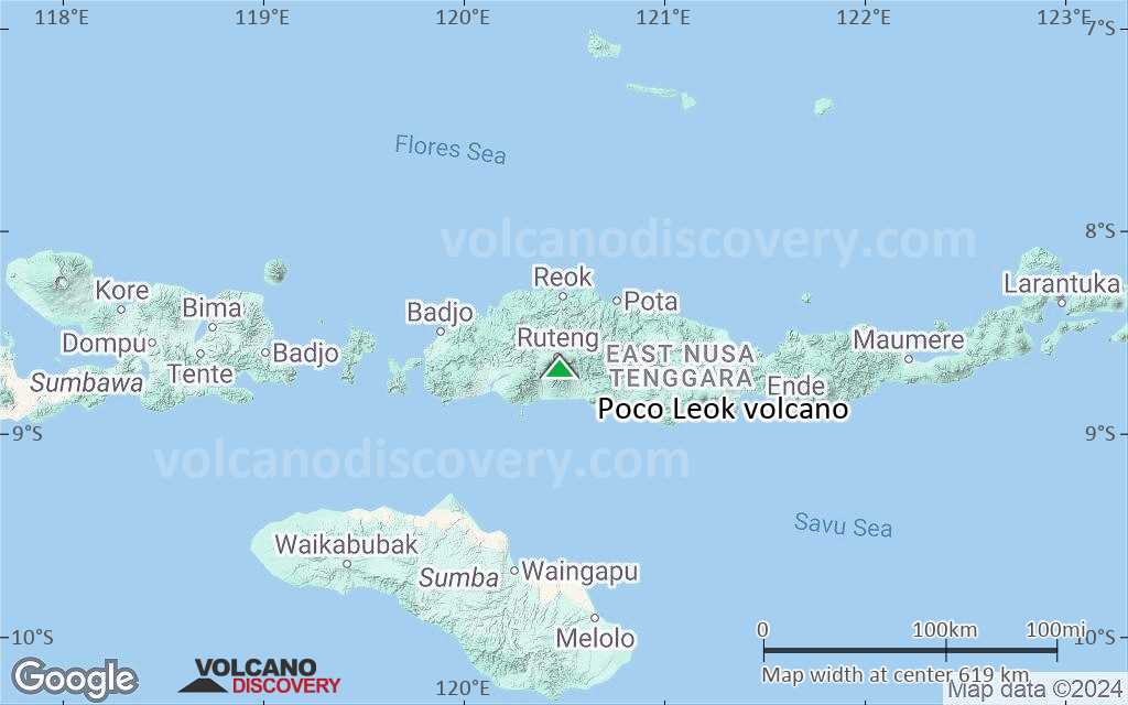
Terrain-type map of Poco Leok volcano (local scale large)
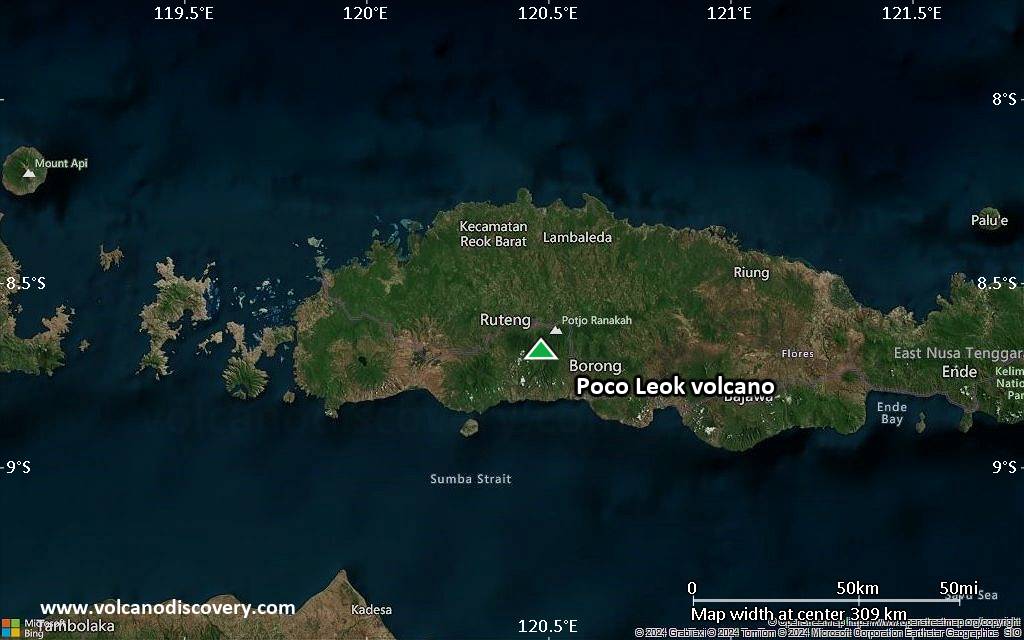
Satellite/aerial-type map of Poco Leok volcano (local scale medium)
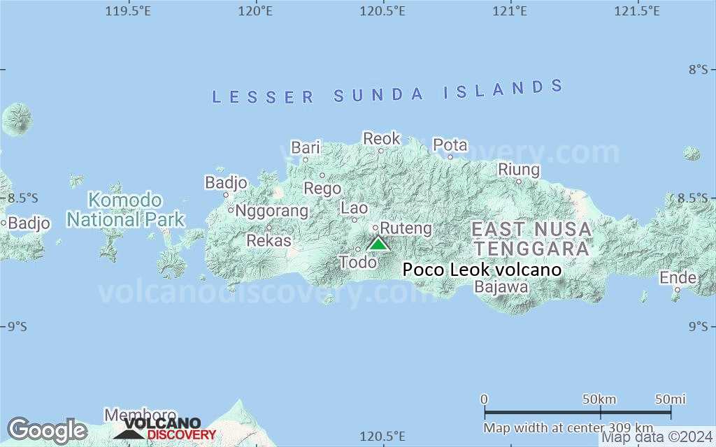
Terrain-type map of Poco Leok volcano (local scale medium)
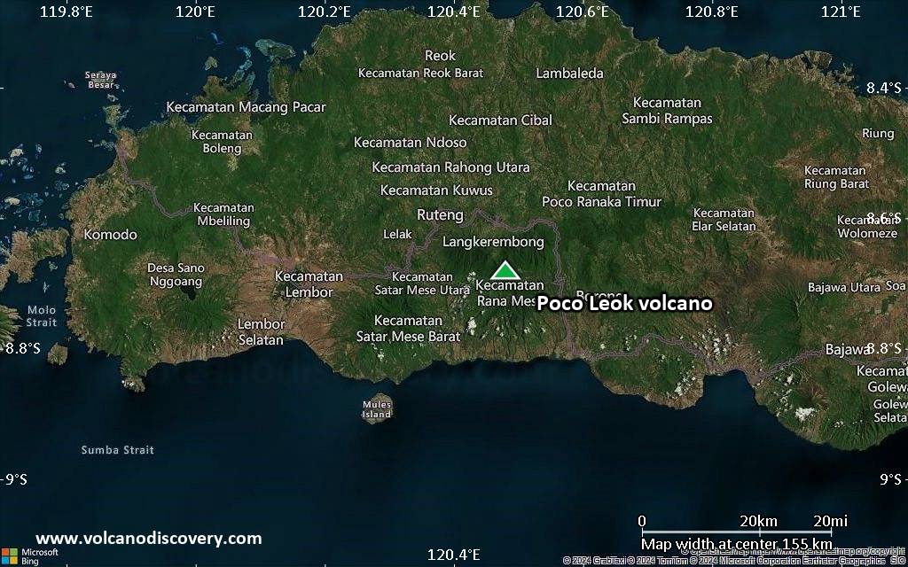
Satellite/aerial-type map of Poco Leok volcano (local scale small)
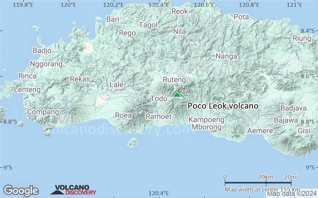
Terrain-type map of Poco Leok volcano (local scale small)
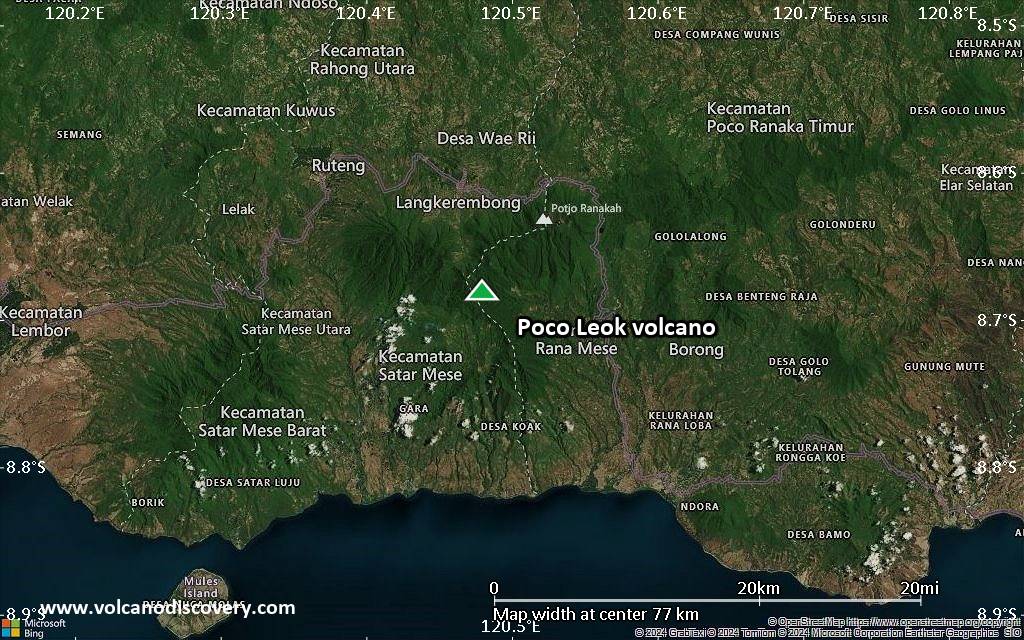
Satellite/aerial-type map of Poco Leok volcano (scale of 10s of km)
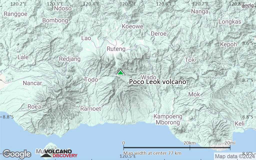
Terrain-type map of Poco Leok volcano (scale of 10s of km)

Satellite/aerial-type map of Poco Leok volcano (scale of 20-40 km)
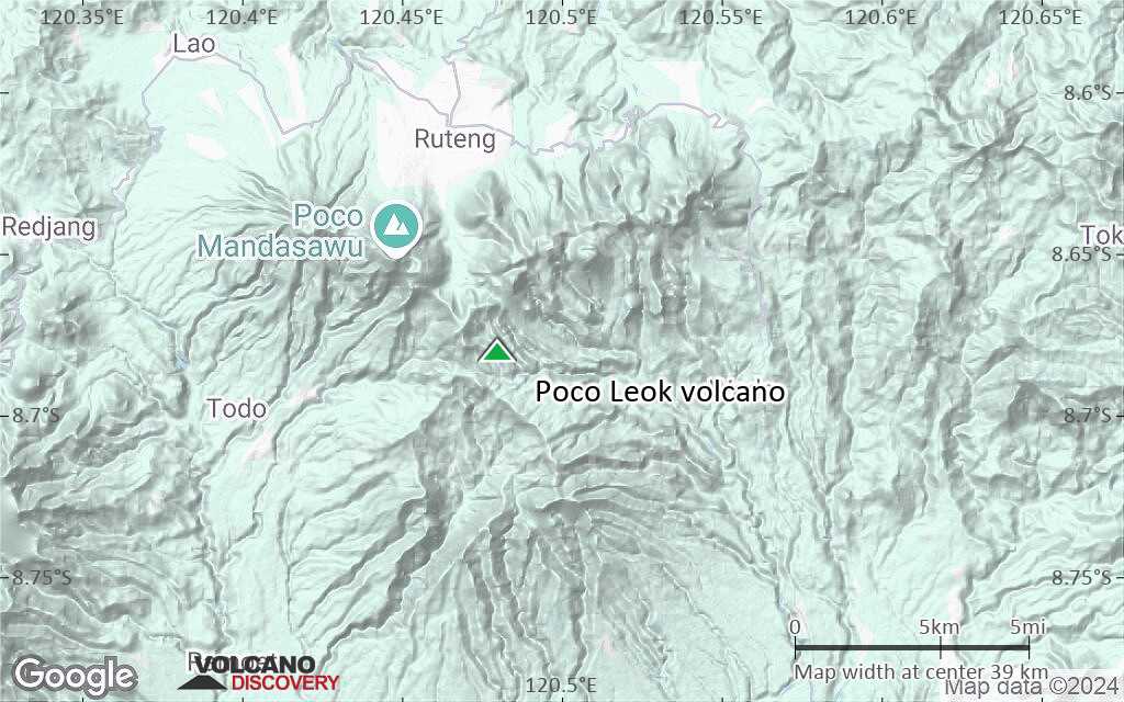
Terrain-type map of Poco Leok volcano (scale of 20-40 km)

Satellite/aerial-type map of Poco Leok volcano (scale of approx. 10-20 km)
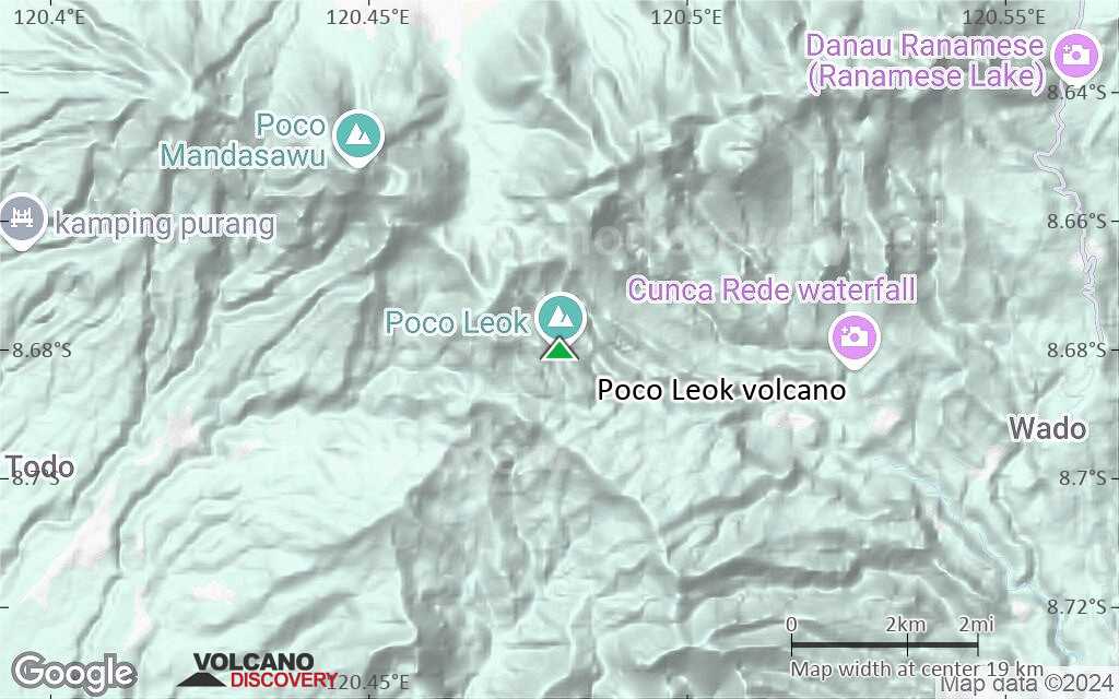
Terrain-type map of Poco Leok volcano (scale of approx. 10-20 km)
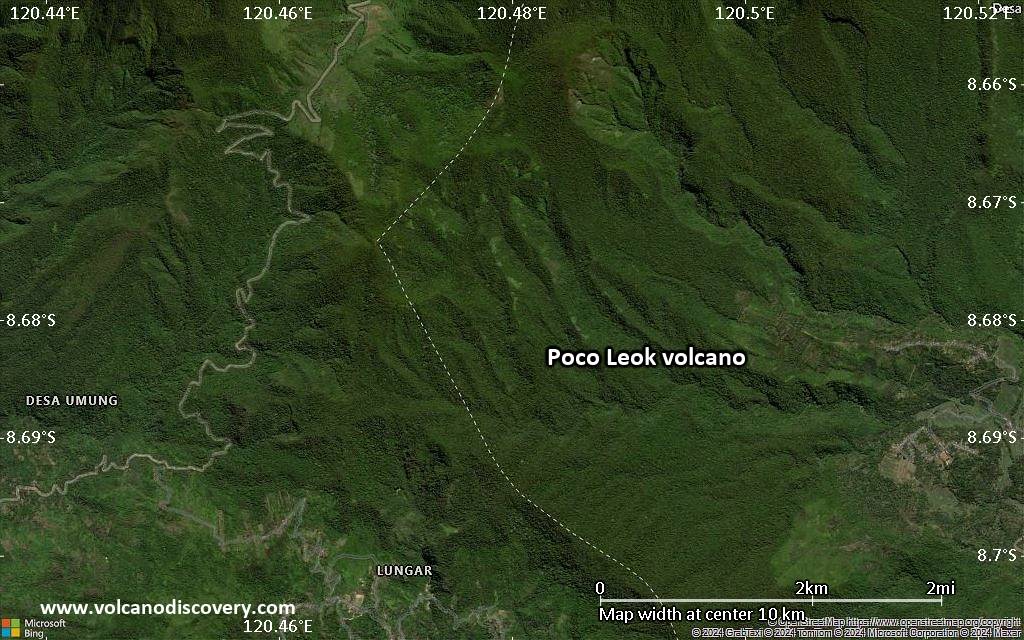
Satellite/aerial-type map of Poco Leok volcano (scale of 5-10 km)
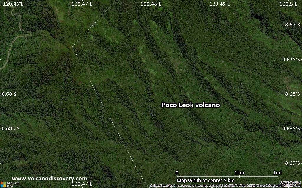
Satellite/aerial-type map of Poco Leok volcano (scale of few kilometers)


