


Salton Buttes Volcano
Updated: May 1, 2025 16:29 GMT -
lava domes
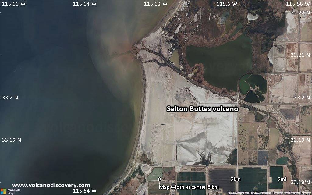
California (Canada and USA (mainland)), 33.2°N / -115.62°W 
Summit height: -40 m / -131 feet
Current status: normal or dormant (1 out of 5)
Last update: 14 Mar 2022
The Salton Buttes volcanic field consist of 5 small rhyolitic lava domes built above sediments of the Colorado River delta within the Salton Sea geothermal field, located at the SE margin of the Salton Sea, California.
[smaller] [larger]
Salton Buttes volcano eruptions: about 3000 years ago
Latest nearby earthquakes
| Date and Time | Mag / Depth | Distance / Location | |||
|---|---|---|---|---|---|
| May 1, 08:02 am (Universal Time) | 1.1 6 km | 17 km (10.7 mi) to the NW | Info | ||
| Tuesday, April 29, 2025 GMT (1 quake) | |||||
| Apr 29, 10:47 am (Universal Time) | 1.5 3.4 km | 2.7 km (1.7 mi) to the SE | Info | ||
| Saturday, April 26, 2025 GMT (2 quakes) | |||||
| Apr 26, 10:58 am (GMT -7) | 1.6 2.6 km | 2.3 km (1.4 mi) to the SE | Info | ||
| Apr 26, 05:58 pm (Universal Time) | 1.8 5 km | 2.9 km (1.8 mi) to the SW | Info | ||
| Wednesday, April 23, 2025 GMT (3 quakes) | |||||
| Apr 23, 05:57 pm (Universal Time) | 0.7 4.1 km | 6.5 km (4.1 mi) to the N | Info | ||
| Apr 23, 10:57 am (GMT -7) | 2.1 9.4 km | 27 km (17 mi) to the W | Info | ||
| Apr 23, 05:52 pm (Universal Time) | 1.7 2.6 km | 2.7 km (1.7 mi) to the SE | Info | ||
| Tuesday, April 22, 2025 GMT (3 quakes) | |||||
| Apr 22, 01:54 pm (Universal Time) | 2.0 2.8 km | 2.5 km (1.6 mi) to the SE | Info | ||
| Apr 22, 01:05 am (Los Angeles) | 2.8 3.6 km | 2.4 km (1.5 mi) to the SE | Info | ||
Background
Recent dating of young zircons (which typically crystallize prior to eruption) place the date of the lava domes at 10,300 +/- 1000 years ago, consistent with early Holocene hydration rind dates from Obsidian Butte. Wave-cut benches originating from Lake Cahuilla, which existed from about 20,500 to 3000 years ago, prior to the 20th century formation of the Salton Sea due to an accidental spill-over of the Colorado River, are found on all of the domes. Older, sediment-buried Pleistocene rhyolitic lava domes have been found in geothermal drill holes. The Salton Sea geothermal field produces saline geothermal brines.---
Source: GVP Salton Buttes information
Significant volcanic eruptions: Salton Buttes volcano
No historic eruptions are known from Salton Buttes volcano, but evidence from at least 3 eruptions during the past 10,000 years can be found in the geological record.
The table below lists all known eruptions (date in bold face) of Salton Buttes volcano in historic times and during the past 10,000 years. Updates on the most recent volcanic activity of Salton Buttes can be found on the news page of Salton Buttes volcano.
| Date | Note | VEI | Deaths | Damage | |
|---|---|---|---|---|---|
| Rock Hill, N & S Red Hill | ? | ||||
| Obsidian Butte | ? | ||||
| Mullet Island | ? | ||||
Remark:
Our list of volcanic eruptions closely follows the database of eruptions of the Smithsonian's Global Volcanism Project (GVP), the internationally most recognized data source for volcanic eruptions, but also includes significant eruptive episodes or related volcano events. "Volcanic eruptions" are usually to be understood as sequences of individual eruptive episodes that can follow each other, or even overlap (if several vents are involved), and can last many years, decades or even longer. For example, the current activity of Stromboli volcano is understood as a single eruption that has been ongoing since 1934.
Sources: NOAA National Centers for Environmental Information (NCEI), Global Significant Volcanic Eruptions Database. doi:10.7289/V5TD9V7K | Global Volcanism Project / Smithsonian Institution
Salton Buttes Volcano FAQ
+When was the last eruption of Salton Buttes volcano?
The last confirmed eruption of Salton Buttes occurred around 210 AD.
Latest satellite images

Salton Buttes Volcano Maps
Below is a selection of maps showing the location and surroundings of the volcano at various resolutions based on aerial-imagery / terrain maps. Feel free to use them for non-commercial purposes on your blog or website as long as you credit them with a link back to this page (click to copy it).
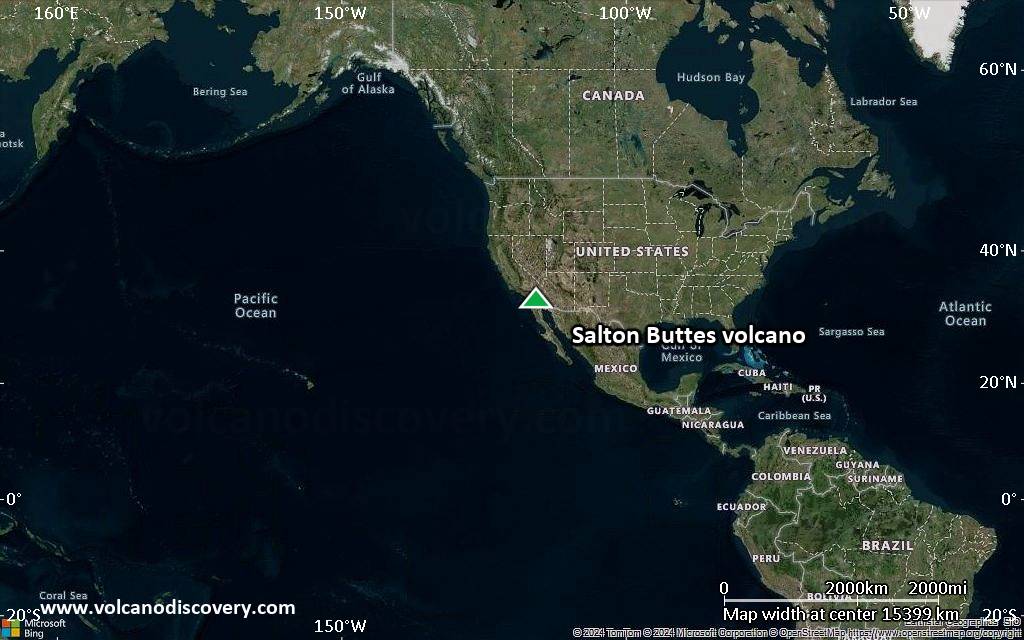
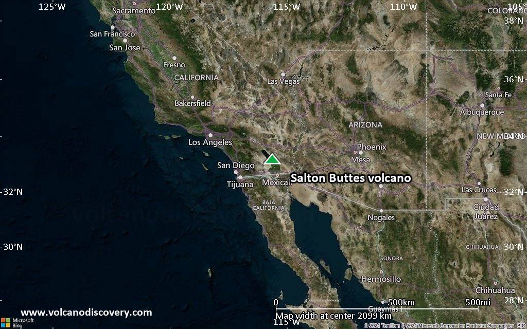
Satellite/aerial-type map of Salton Buttes volcano (world scale)
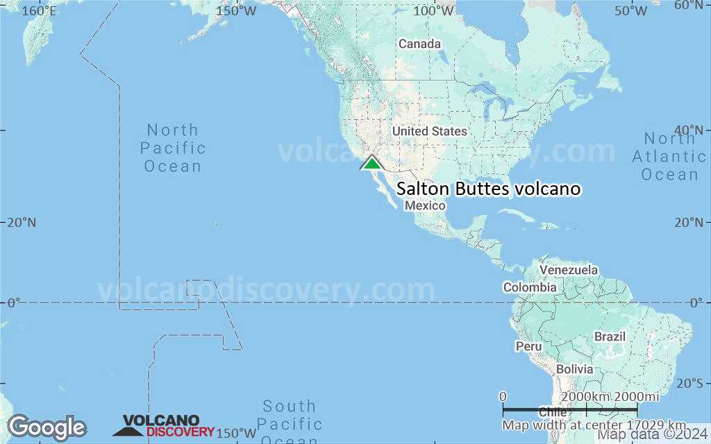
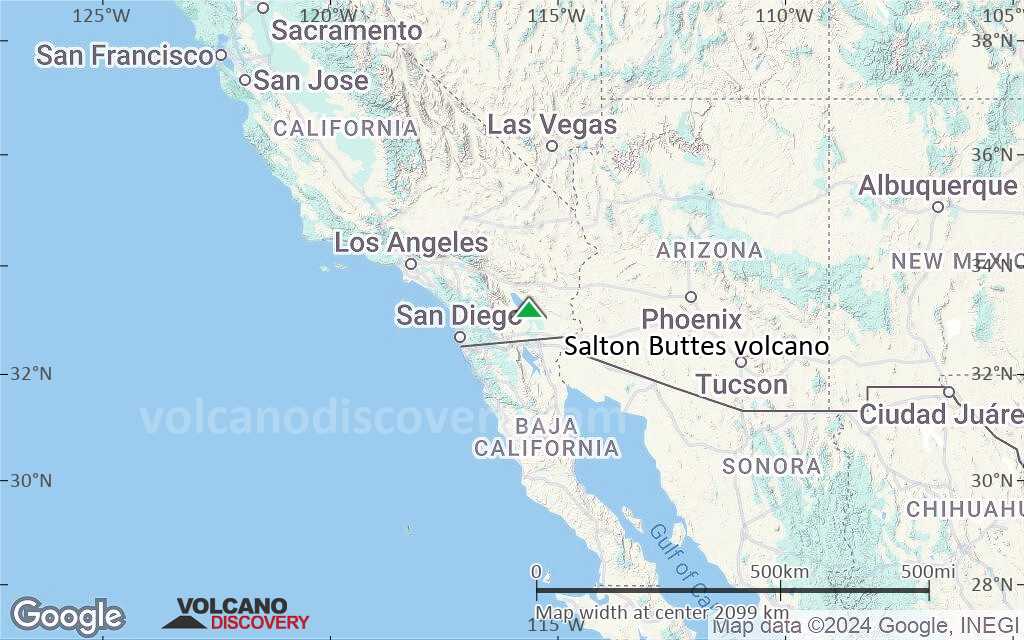
Terrain-type map of Salton Buttes volcano (world scale)

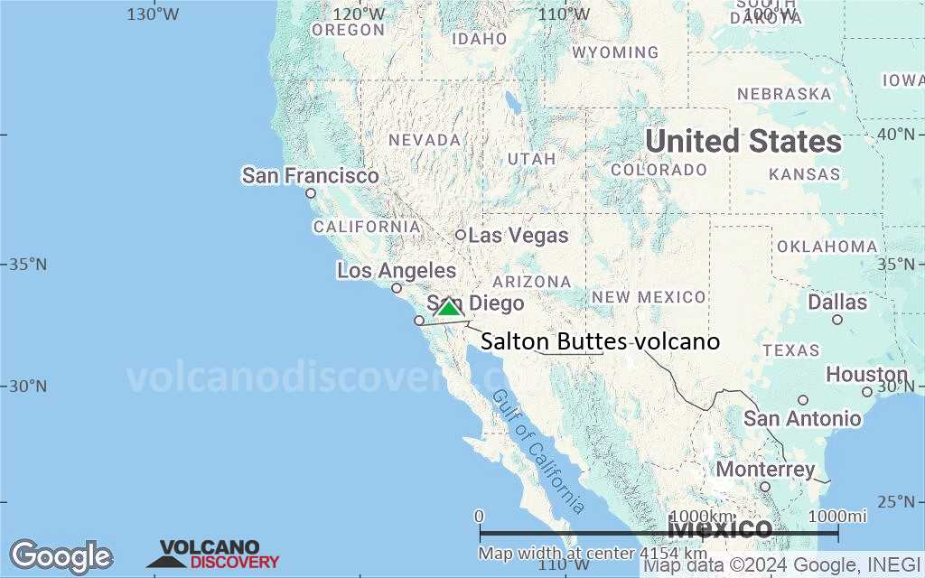
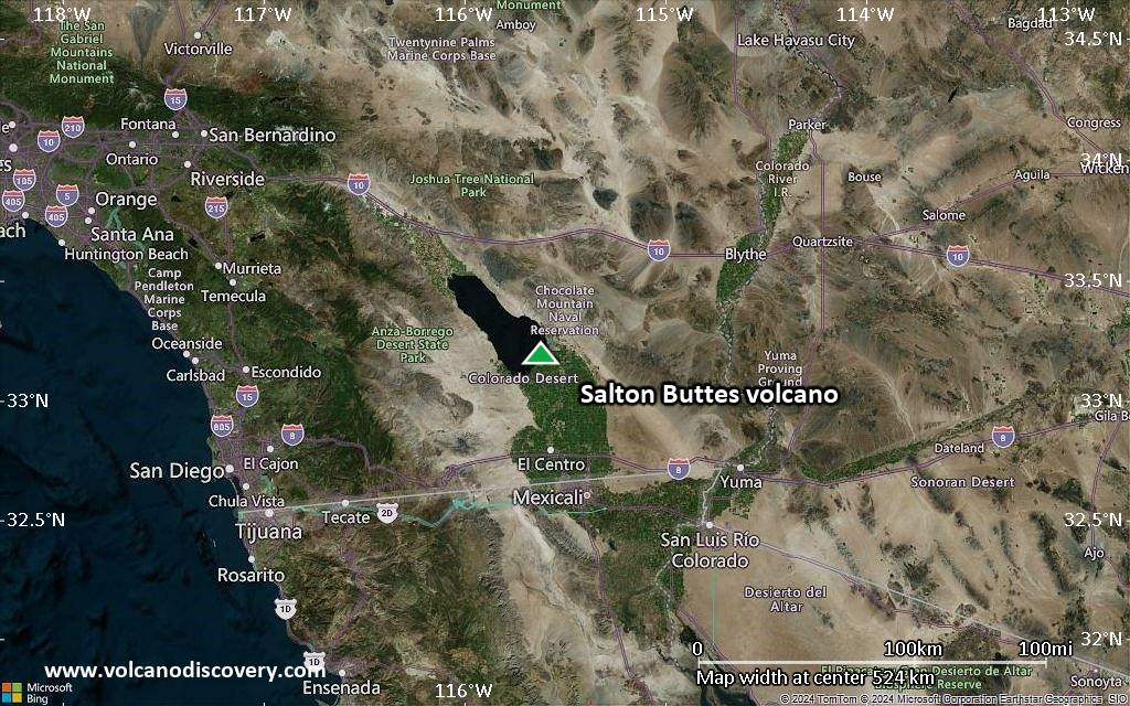
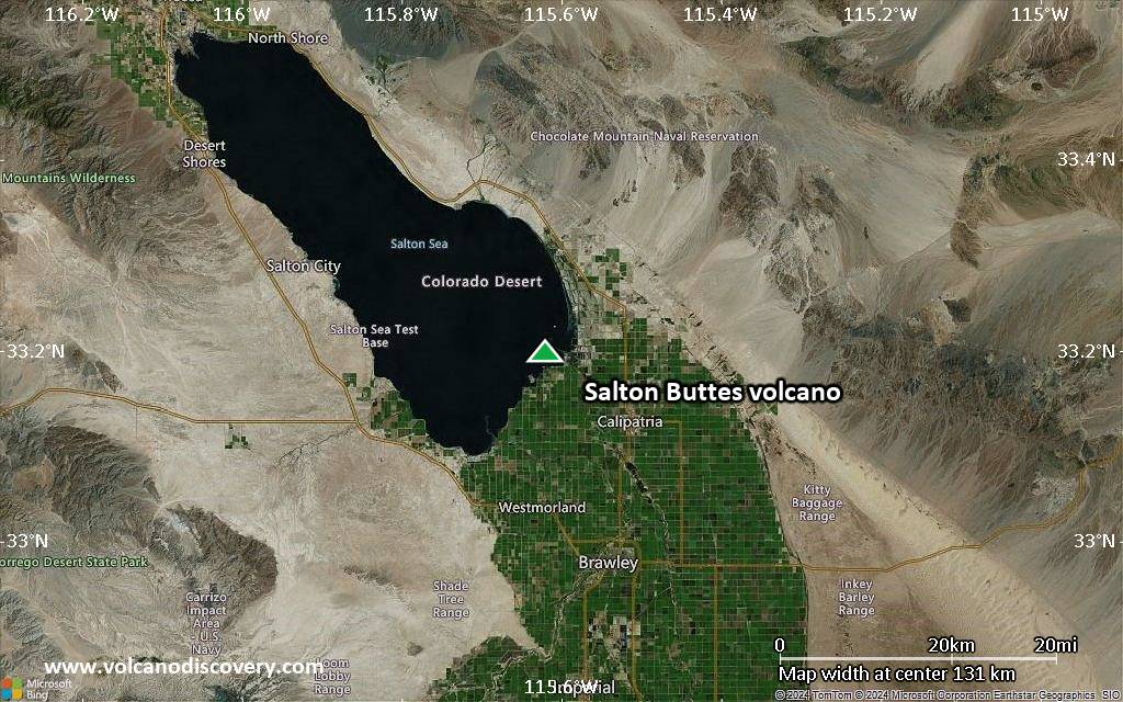
Satellite/aerial-type map of Salton Buttes volcano (region scale large)
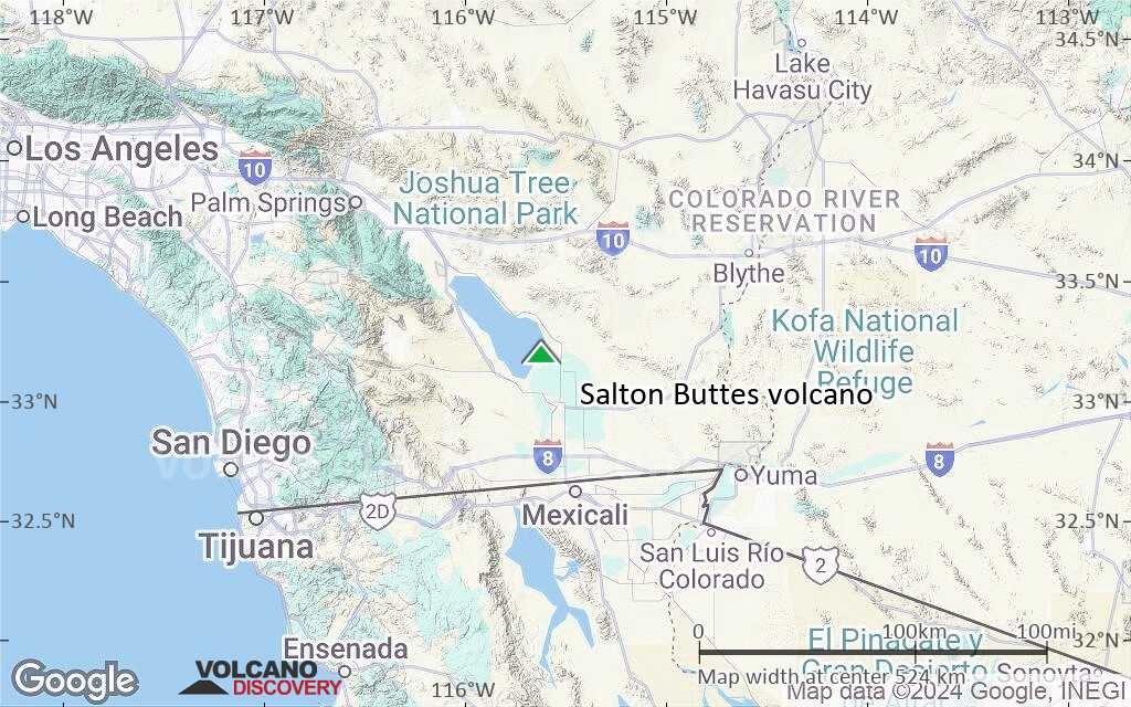
Terrain-type map of Salton Buttes volcano (region scale large)
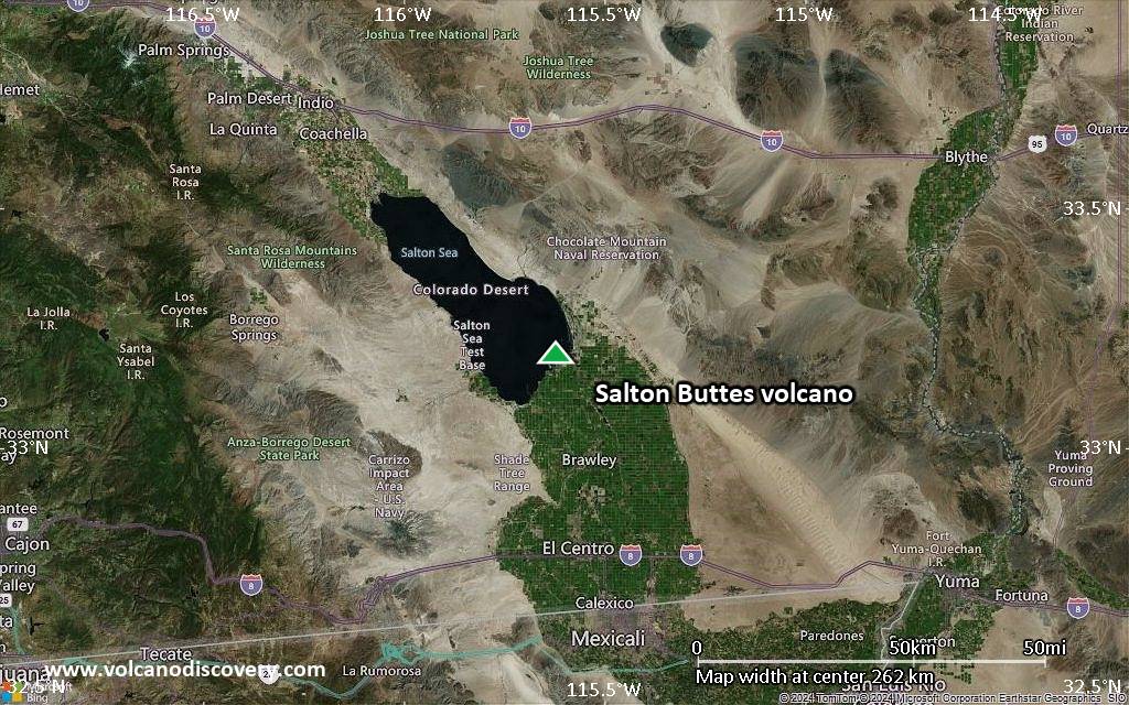
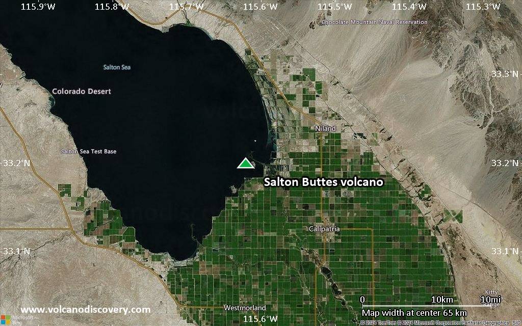
Satellite/aerial-type map of Salton Buttes volcano (region scale medium)
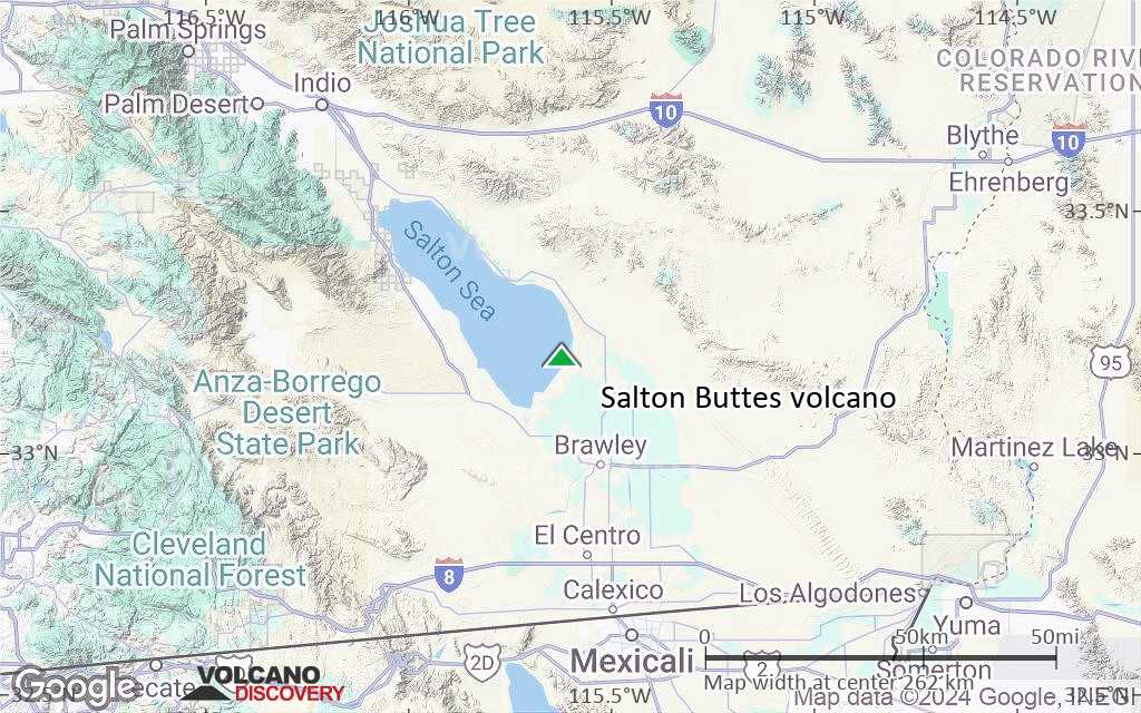
Terrain-type map of Salton Buttes volcano (region scale medium)
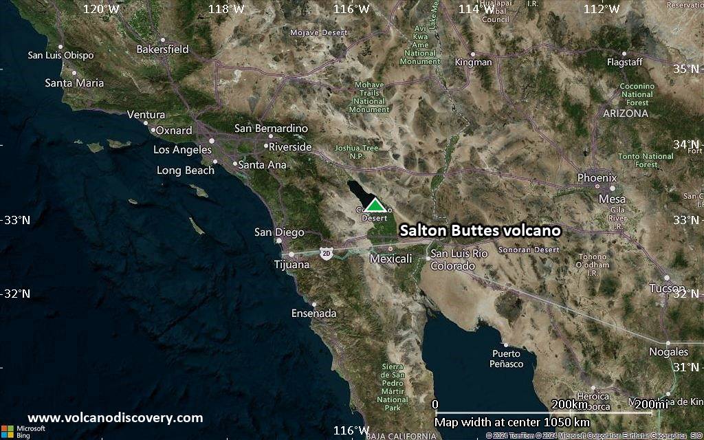
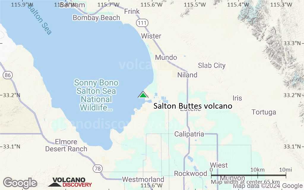
Satellite/aerial-type map of Salton Buttes volcano (region scale small)
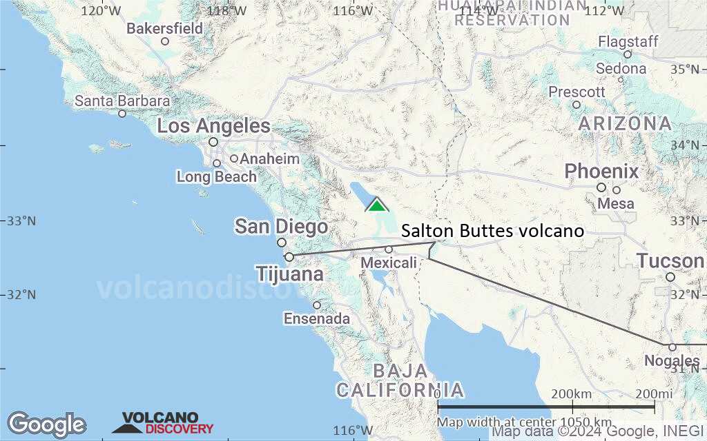
Terrain-type map of Salton Buttes volcano (region scale small)
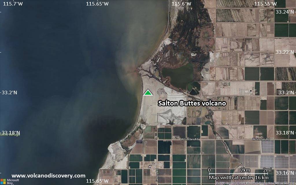
Satellite/aerial-type map of Salton Buttes volcano (local scale large)
Terrain-type map of Salton Buttes volcano (local scale large)
Satellite/aerial-type map of Salton Buttes volcano (local scale medium)
Terrain-type map of Salton Buttes volcano (local scale medium)
Satellite/aerial-type map of Salton Buttes volcano (local scale small)

Terrain-type map of Salton Buttes volcano (local scale small)
Satellite/aerial-type map of Salton Buttes volcano (scale of 10s of km)
Terrain-type map of Salton Buttes volcano (scale of 10s of km)

Satellite/aerial-type map of Salton Buttes volcano (scale of 20-40 km)

Terrain-type map of Salton Buttes volcano (scale of 20-40 km)
Satellite/aerial-type map of Salton Buttes volcano (scale of approx. 10-20 km)

Terrain-type map of Salton Buttes volcano (scale of approx. 10-20 km)
Satellite/aerial-type map of Salton Buttes volcano (scale of 5-10 km)

Satellite/aerial-type map of Salton Buttes volcano (scale of few kilometers)


