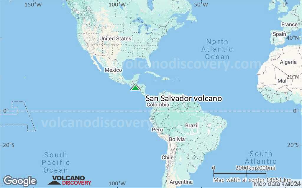
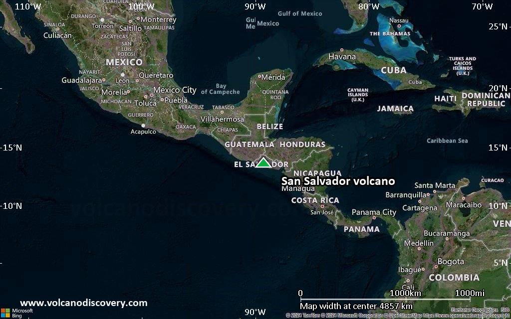
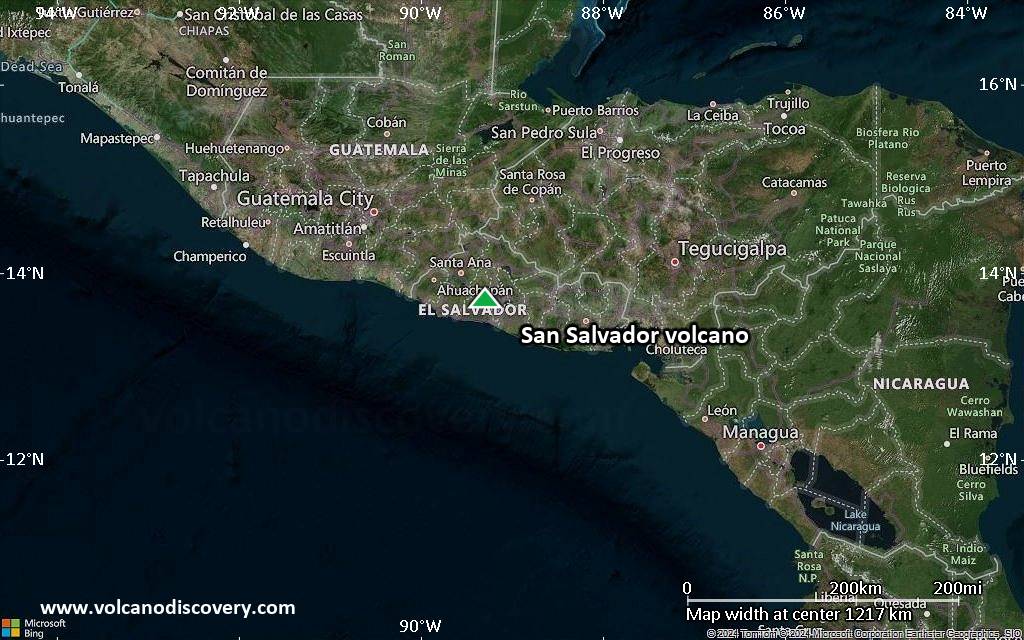
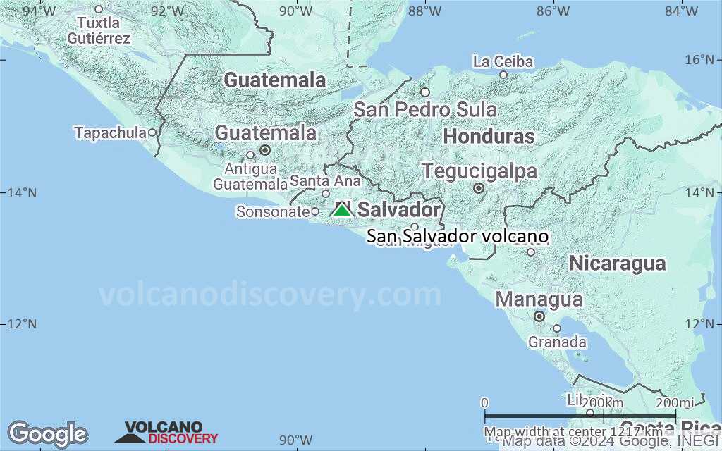
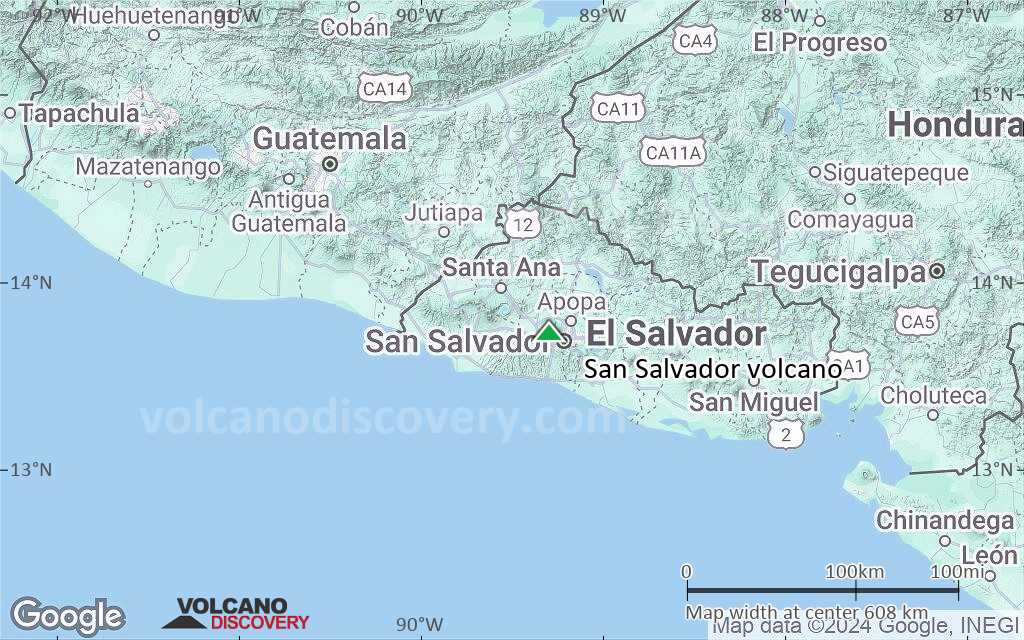
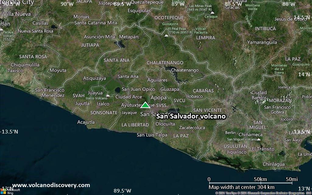
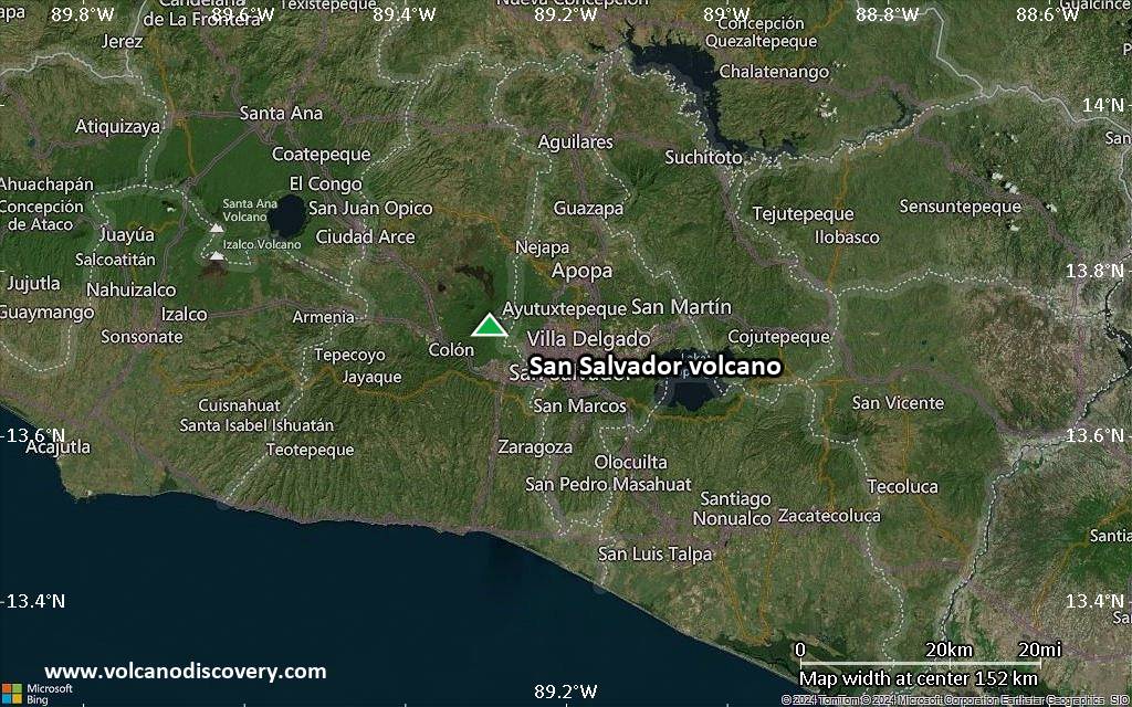
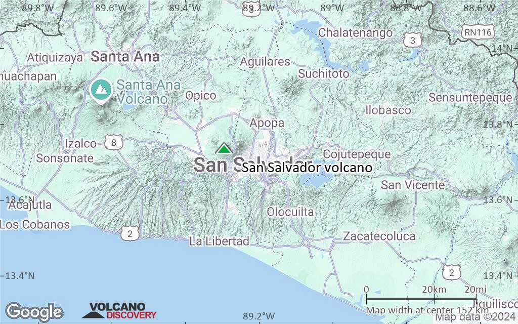
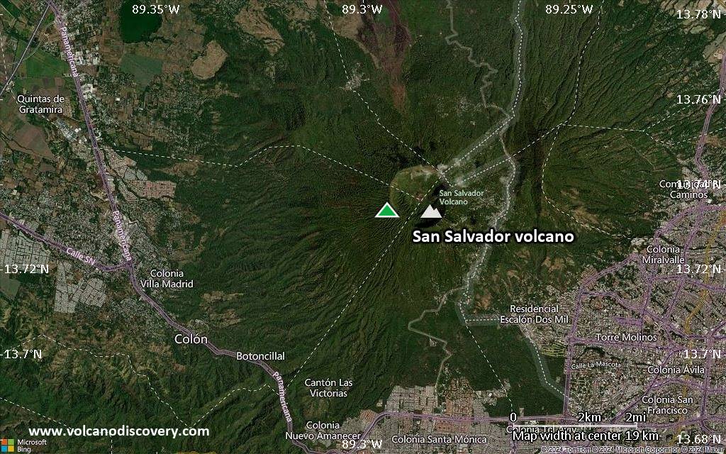
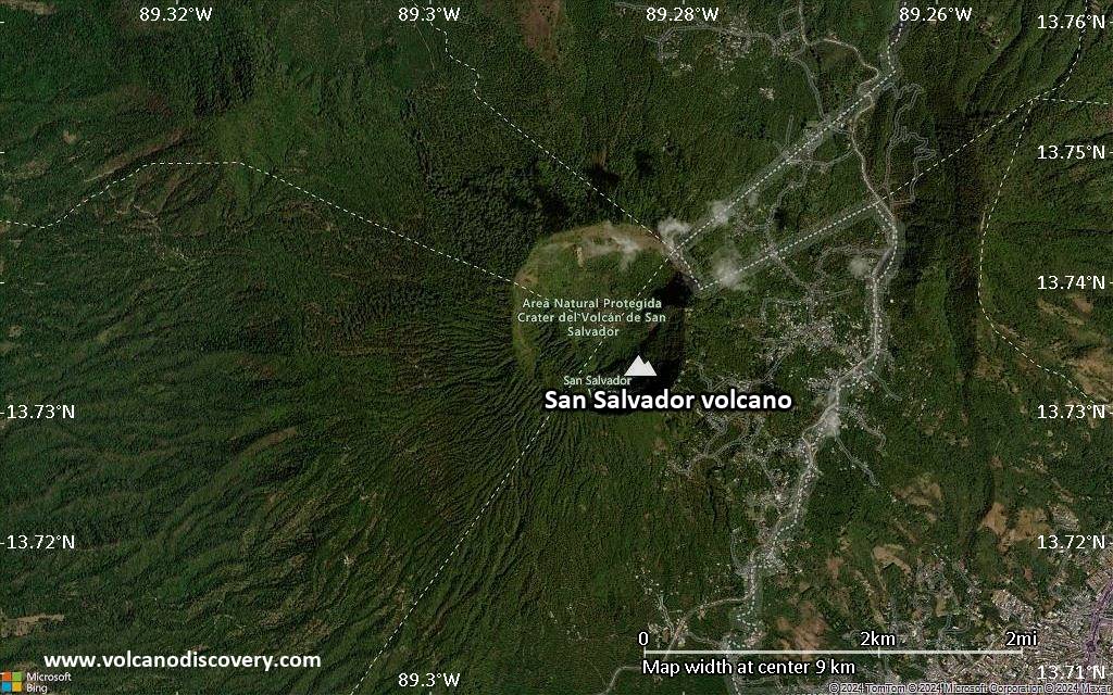
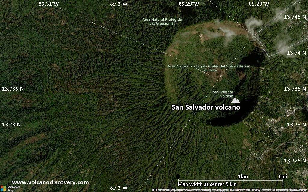
San Salvador Volcano
San Salvador volcano is a massive stratovolcano immediately northwestwest of El Salvador city. Its modern summit cone is also called the Boqueron stratovolcano. It formed within a 6 km wide caldera left by the collapse of the predecessor volcano about 40,000 years ago. Remnants of the caldera rim form the Picacho and Jabalí peaks.
Boqueron volcano is truncated by a steep-walled, 500 m deep and 1500 m wide summit crater, which formed during a large eruption about 800 years ago. Before the last eruption in 1917, the crater of Boqueron contained a 400 m wide lake, which was replaced by a small, 30 m high young cinder cone, called Boqueroncito, built during the eruption along with a major lava flow on the north flank.
Most historical eruptions from San Salvador originated from flank vents.
San Salvador volcano eruptions: 1917, 1806 (?), 1671, 1658, 1572 ± 2, ?1200, 640 AD ± 30 years
Latest nearby earthquakes
| Date and Time | Mag / Depth | Distance / Location | |||
|---|---|---|---|---|---|
Background
The San Salvador or Quezaltepeque volcanic center formed in the southern part of the main graben of El Salvador and is dominantly andesitic. 3 fracture zones that extend beyond the base of San Salvador volcano have been the locus for numerous flank eruptions, including 2 that formed maars on the WNW and SE sides.Most of the 4 historical eruptions recorded since the 16th century have originated from flank vents, including two eruptions in the 17th century from the NW-flank cone of El Playón, during which explosions and a lava flow damaged inhabited areas.
Significant volcanic eruptions: San Salvador volcano
Additionally, there are 2 uncertain or discredited eruptions from San Salvador volcano.
| Date | Note | VEI | Deaths | Damage | ||
|---|---|---|---|---|---|---|
| Boquerón summit and north flank Historical obs./docs. | 3 | |||||
| 1917 Jun 7 (eruption | Historical obs./docs. | 3 | 325 | Info | ||
?? | Uncertain Eruption | ? | ||||
| NW flank (El Playón) Historical obs./docs. | 3 | |||||
| 1659 AD Sep 30 (eruptive episode | Historical obs./docs. | 3 | Info | |||
| Loma de Grandes Bloques Historical obs./docs. | 3? | |||||
| Boquerón | 4 | |||||
| NW flank (Loma Caldera) | 3? | |||||
| 590 AD (eruptive episode | Historical obs./docs. | 0 | 1-50 (*) | Info | ||
Discredited Eruption | ||||||
Eruptions of San Salvador volcano
A small seismic swarm occurred in August 1999, when volcano-tectonic earthquakes about 5 km from the crater were detected. No other signs of unrest were noted.
The last eruption of San Salvador volcano began on 6 June 1917 following strong and destructive earthquakes lasting for 2 hours. The eruption consisted of an effusive fissure eruption on the NW flank followed by a moderately explosive summit eruption (similar, but smaller in scale, to the Eyafjallajökull eruption in 2010).
The effusive phase produced a large aa lava flow on the NW flank, left a row of cinder cones on the eruptive fissure, and lasted about a week. The second phase started simultaneously with the waning of the waning of the first phase from a fissure vent inside the summit crater. It quickly evaporated a former 400 m wide lake and built the small Boqueroncito cinder cone. ...more info
San Salvador Volcano FAQ
+When was the last eruption of San Salvador volcano?
The last confirmed eruption of San Salvador occurred in 1917.
+How often does San Salvador volcano erupt?
Since 1575 AD, San Salvador volcano has had at least 3 historically documented eruptions. This means that it erupts on average every 150 years.
Many eruptions of San Salvador have lasted more than one year. In total, the volcano has been in eruption during 16 out of 450 years until now. In other words, San Salvador has been active at least one in 28.1 years on average. Note that this value is likely an underestimate, because the known history of eruptions from San Salvador is likely incomplete, especially further back in time.
+How active is San Salvador volcano at present?
San Salvador volcano is occasionally active: Since 1900, it has had one eruption, which occurred in 1917.
+When was the largest eruption of San Salvador volcano?
The largest eruption known from the younger geological history of San Salvador volcano occurred in 1200 AD. It ranks as a "vulcanian" eruption with a magnitude 3 on the VEI (Volcanic Explosivity Index) scale.
Latest satellite images

San Salvador Volcano Maps