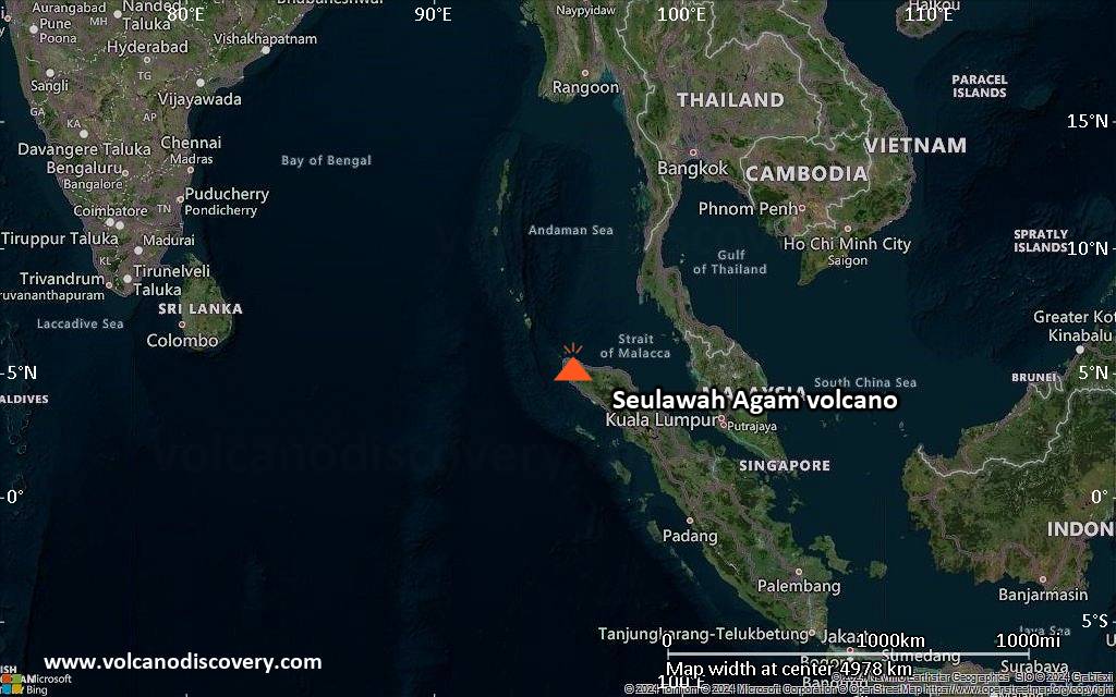
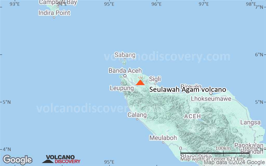
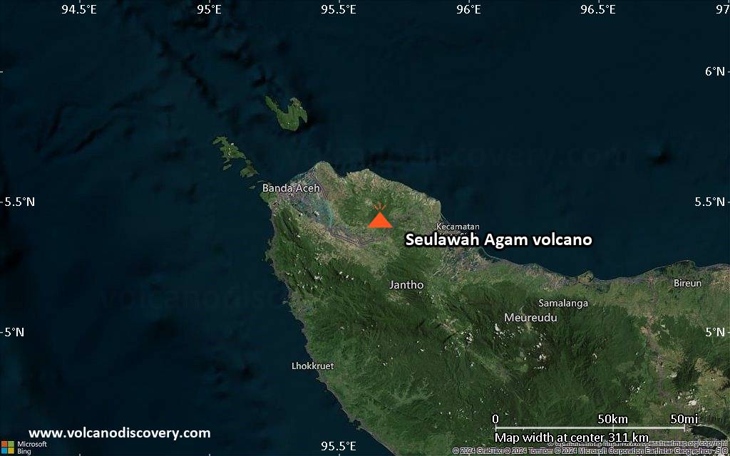
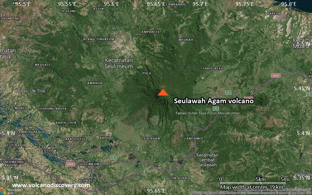
Seulawah Agam Volcano
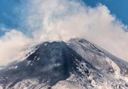
Seulawah Agam is an active stratovolcano at the northwestern tip of Sumatra. It was built within the older lam Teuba caldera. It has a 400 m wide forested summit crater and a crater at 650 m on the NNE flank, the Van Heutsz crater, which has active fumaroles. The last activity of Seulawah Agam was probably a phreatic or hydrothermal explosion in 1839 from the van Heutsz crater.
Seulawah Agam volcano eruptions: 1839
Latest nearby earthquakes
| Date and Time | Mag / Depth | Distance / Location | |||
|---|---|---|---|---|---|
Background
Seulawah Agam at the NW tip of Sumatra is an extensively forested volcano of Pleistocene-Holocene age constructed within the large Pleistocene Lam Teuba caldera. A smaller 8 x 6 km caldera lies within Lam Teuba caldera. The summit contains a forested, 400-m-wide crater. The active van Heutsz crater, located at 650 m on the NNE flank of Suelawah Agam, is one of several areas containing active fumarole fields. Sapper (1927) and the Catalog of Active Volcanoes of the World (CAVW) reported an explosive eruption in the early 16th century, and the CAVW also listed an eruption from the van Heutsz crater in 1839. Rock et al. (1982) found no evidence for historical eruptions. However the Volcanological Survey of Indonesia noted that although no historical eruptions have occurred from the main cone, the reported NNE-flank explosive activity may have been hydrothermal and not have involved new magmatic activity.---
Smithsonian / GVP volcano information
Significant volcanic eruptions: Seulawah Agam volcano
| Date | Note | VEI | Deaths | Damage | |
|---|---|---|---|---|---|
| NNE flank (van Heutsz crater) Historical obs./docs. | 2 | ||||
| NNE flank Historical obs./docs. | 2 | ||||
Seulawah Agam Volcano FAQ
+When was the last eruption of Seulawah Agam volcano?
The last confirmed eruption of Seulawah Agam occurred in 1839.
+How often does Seulawah Agam volcano erupt?
Since 1510 AD, Seulawah Agam volcano has had at least 2 historically documented eruptions. This means that it erupts on average every 258 years.
+When was the largest eruption of Seulawah Agam volcano?
The largest eruption of Seulawah Agam volcano in historic times occurred in 1839. It ranks as a strombolian to vulcanian eruption with a magnitude 2 on the VEI (Volcanic Explosivity Index) scale.
Latest satellite images
Seulawah Agam Volcano Maps