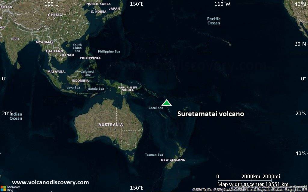
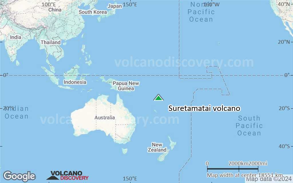
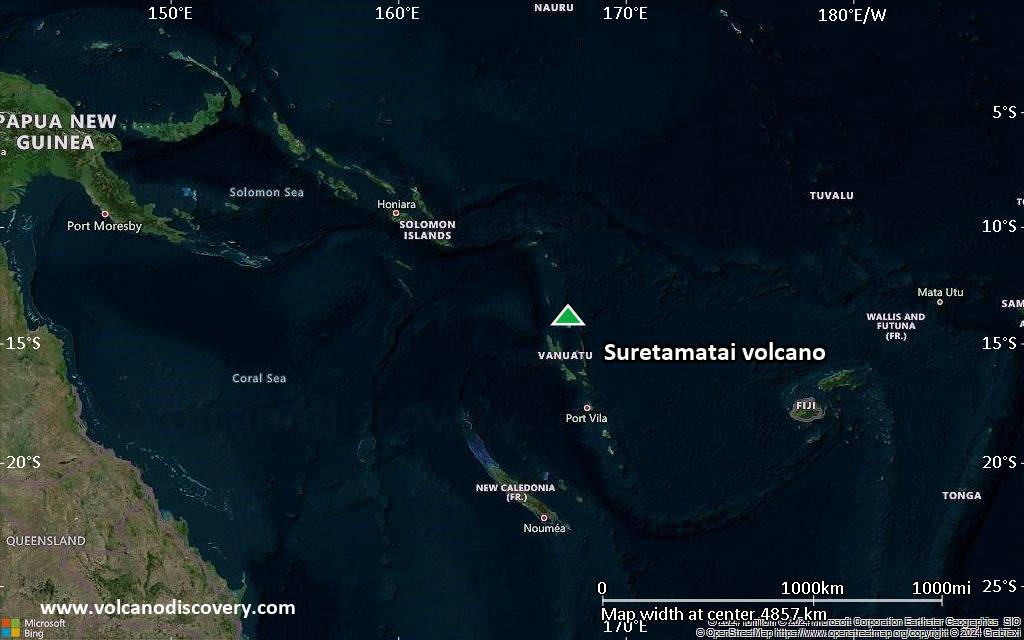
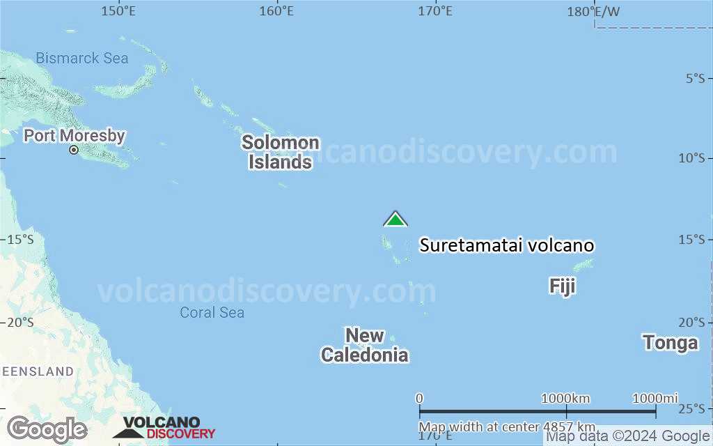
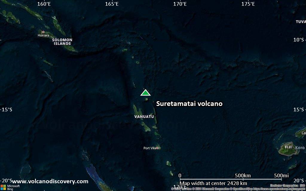
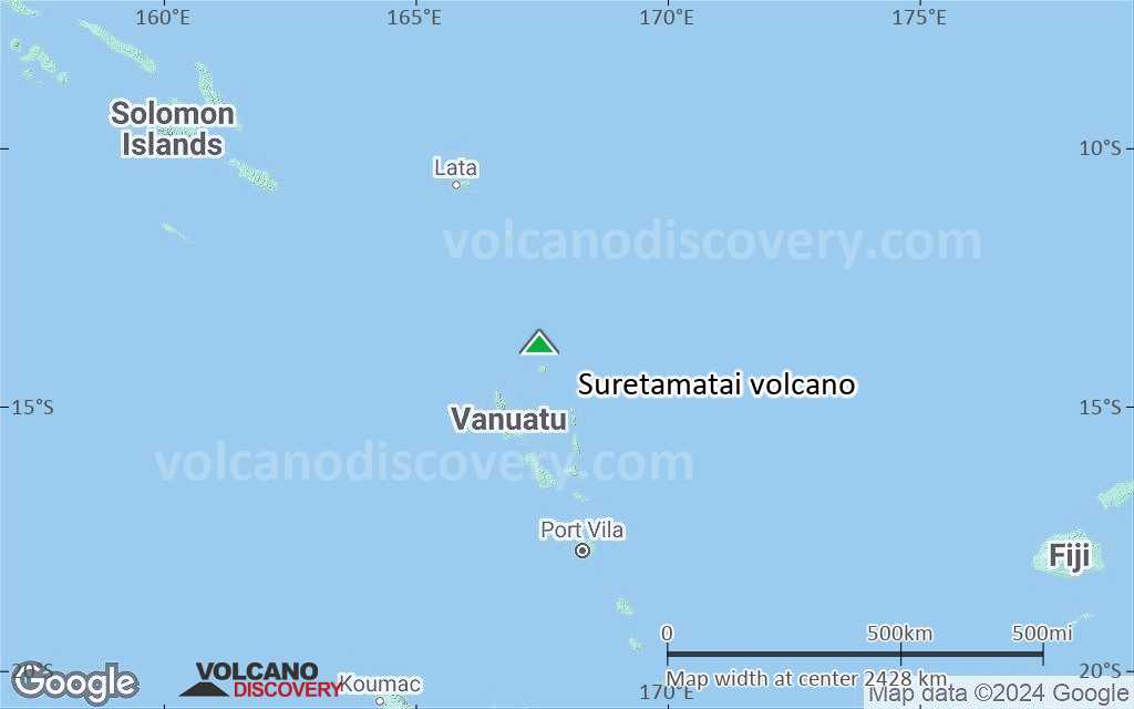
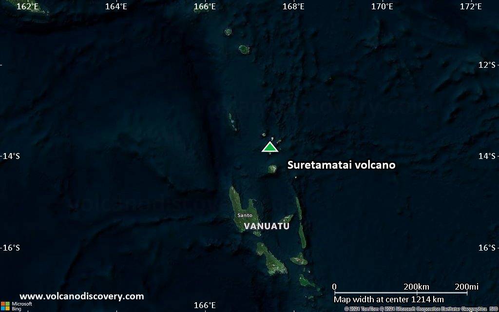
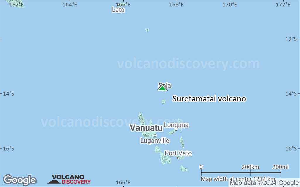
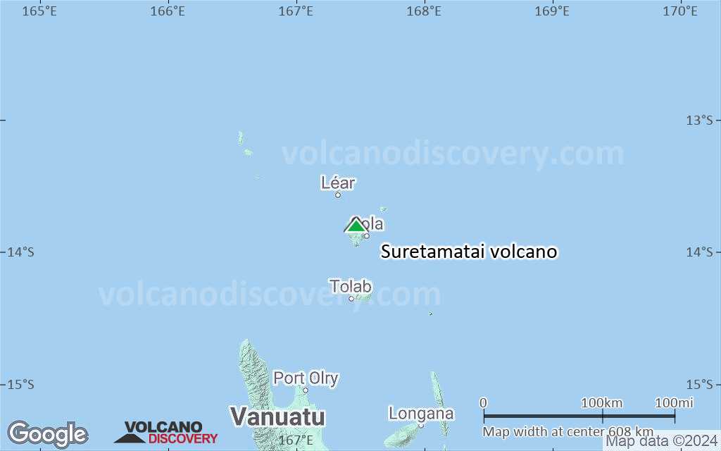
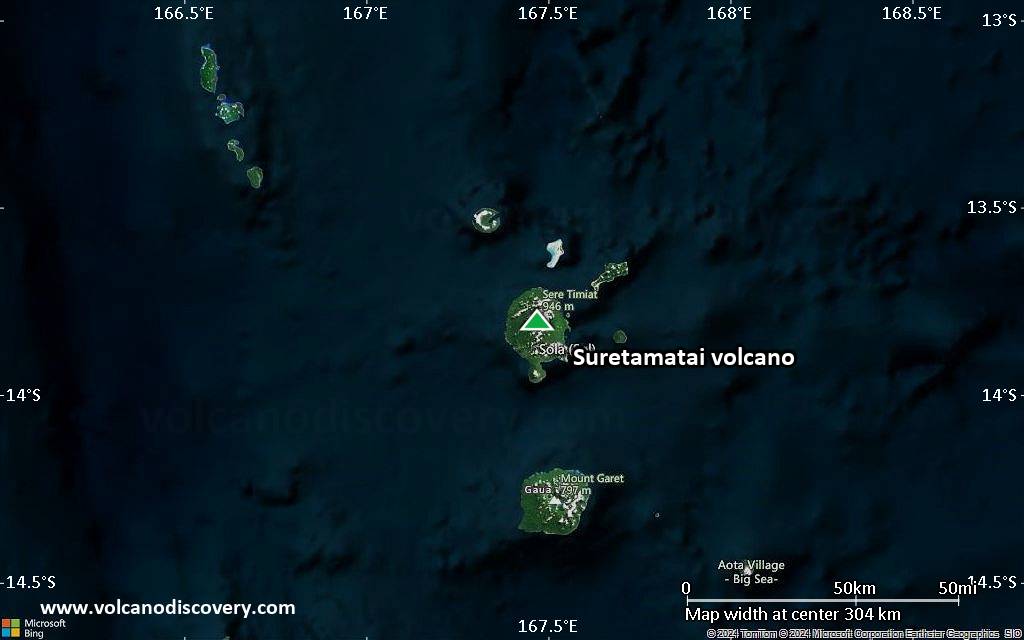
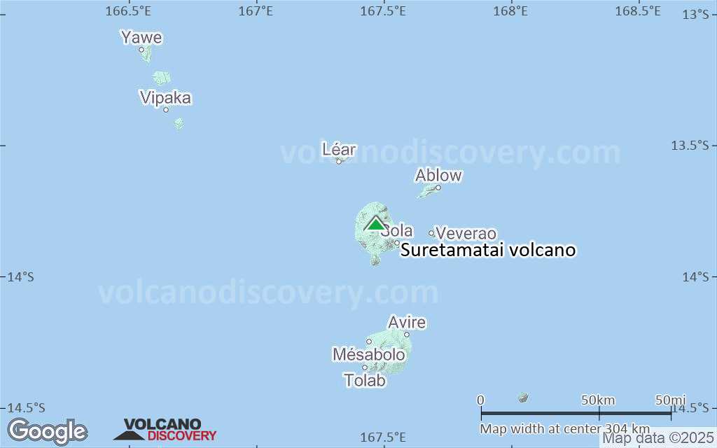
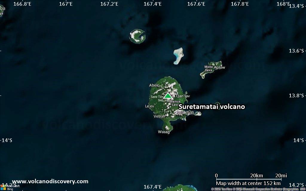
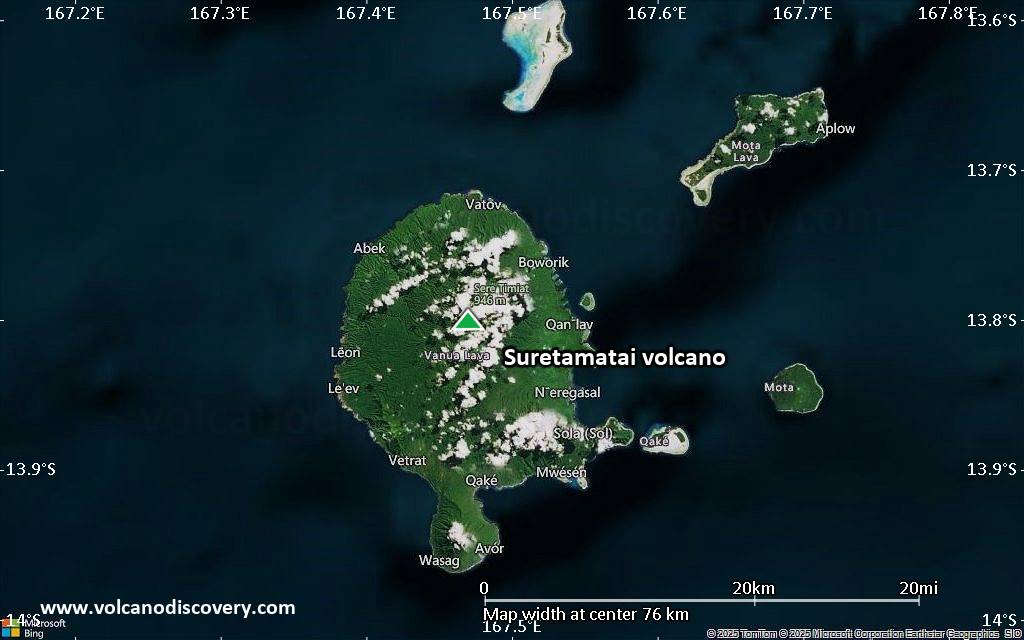
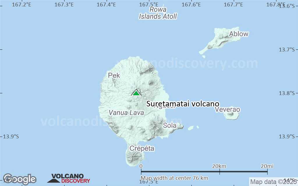
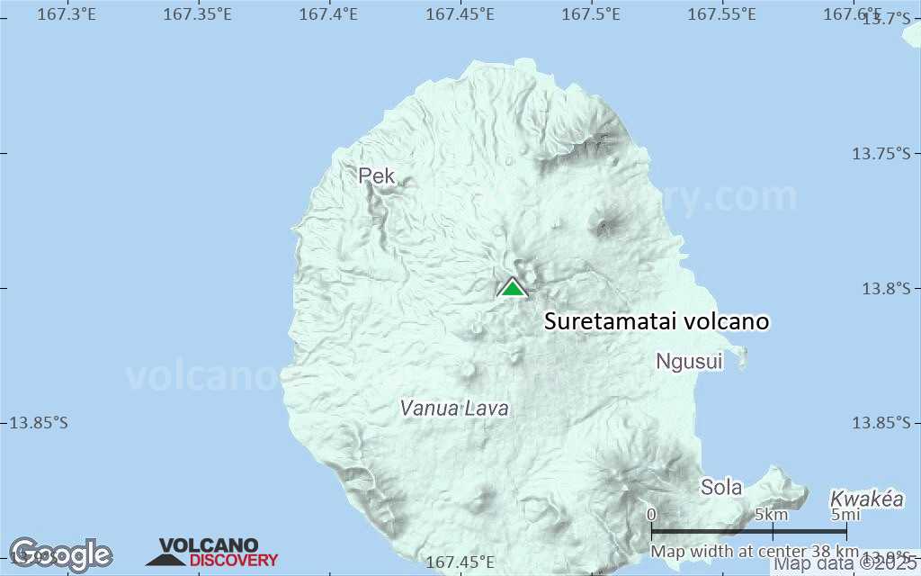
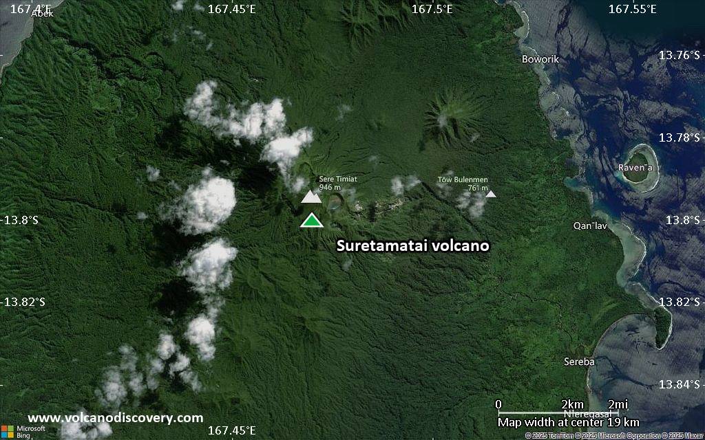
Suretamatai Volcano
Suretamatai volcano eruptions: 1966
Latest nearby earthquakes
| Date and Time | Mag / Depth | Distance / Location | |||
|---|---|---|---|---|---|
Background
Suretamatai volcano forms much of Vanua Lava Island, one of the largest of Vanuatu's Banks Islands. The younger lavas of 921-m-high Suretamatai (also known as Soritimeat) volcano overlie a number of small older stratovolcanoes that form the island. In contrast to other large volcanoes of Vanuatu, the dominantly basaltic-to-andesitic Suretamatai does not contain a youthful summit caldera. A chain of small stratovolcanoes, oriented along a NNE-SSW line, gives the low-angle volcano an irregular profile. The youngest cone, near the northern end of the chain, is the largest and contains a lake of variable depth within its 900-m-wide, 100-m-deep summit crater. Historical activity, beginning during the 19th century, has been restricted to moderate explosive eruptions.---
Smithsonian / GVP volcano information
Significant volcanic eruptions: Suretamatai volcano
There is one uncertain or discredited eruption in 1841 from Suretamatai volcano.
| Date | Note | VEI | Deaths | Damage | |
|---|---|---|---|---|---|
| NW flank Historical obs./docs. | 2 | ||||
Historical obs./docs. | 2 | ||||
Historical obs./docs. | 2? | ||||
?? | Uncertain Eruption | ? | |||
Suretamatai Volcano FAQ
+When was the last eruption of Suretamatai volcano?
The last confirmed eruption of Suretamatai occurred during 1965 - 1966.
+How often does Suretamatai volcano erupt?
Since 1856, Suretamatai volcano has had at least 3 historically documented eruptions. This means that it erupts on average every 56 years.
Many eruptions of Suretamatai have lasted more than one year. In total, the volcano has been in eruption during 4 out of 169 years until now. In other words, Suretamatai has been active at least one in 42.3 years on average. Note that this value is likely an underestimate, because the known history of eruptions from Suretamatai is likely incomplete, especially further back in time.
+How active is Suretamatai volcano at present?
Suretamatai volcano is occasionally active: Since 1900, it has had 2 eruptions, and been active during 2 years out of 126 as of now. This means, Suretamatai has been in eruption one in 63 years on average. The last eruption was from 1965 until 1966 and ended 59 years ago.
+When was the largest eruption of Suretamatai volcano?
The largest eruption of Suretamatai volcano in historic times occurred during 1965 - 1966. It ranks as a strombolian to vulcanian eruption with a magnitude 2 on the VEI (Volcanic Explosivity Index) scale.
Latest satellite images
Suretamatai Volcano Maps