Tahual Volcano
Updated: Apr 28, 2024 14:35 GMT -
Stratovolcano 1716 m / 5,630 ft
Guatemala, 14.43°N / -89.9°W
Current status: normal or dormant (1 out of 5)
Guatemala, 14.43°N / -89.9°W
Current status: normal or dormant (1 out of 5)
[smaller] [larger]
Tahual volcano eruptions: unknown, no recent eruptions
Latest nearby earthquakes
| Time | Mag. / Depth | Distance / Location | |||
Background
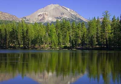
Deeply dissected Volcán Tahual rises about 700 m above plains south of the town of Monjas. The summit of the 1716-m-high forested stratovolcano is cut by a broad erosional crater that extends to the base of the volcano and is narrowly breached to the NE. A Holocene pyroclastic cone near the NE base of Volcán Tahual fed a short basaltic lava flow (Williams et al., 1964). The scenic lake-filled Laguna de Hoyo lies north of the volcano. This steep-walled crater and the NE-flank cinder cone lie along faults bordering a graben that extends across the eastern base of the volcano to neighboring Retana caldera on the SE.---
Smithsonian / GVP volcano information


