Talagabodas Volcano
Updated: May 4, 2025 09:14 GMT -
stratovolcano
West Java (Indonesia), -7.21°S / 108.07°E 
Summit height: 2201 m (7,221 ft)
Current status: normal or dormant (1 out of 5)
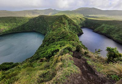
Talagabodas (also written Telagabodas) is an andesitic stratovolcano immediately north of the more active and known Galunggung volcano. It is one of the older volcanoes in a regional N-S trending chain of Quaternary volcanos east of Garut. Talagabodas is known for its colorful crater lake and hydrothermal areas.
[smaller] [larger]
Talagabodas volcano eruptions: Unknown
Latest nearby earthquakes
| Date and Time | Mag / Depth | Distance / Location | |||
|---|---|---|---|---|---|
Background
The crater of Talagabodas contains a large acid, sulphur saturated warm lake. Warm springs, mud pots, and fumaroles are present around the lake. In 1913 and 1921 the lake changed color and in 1927 an increase in fumarole activity was observed along with geyser-like gas eruptions in the lake.Talagabodas is infamous for its toxic gasses (CO2, H2S) that have frequently killed animals inside the Pajagalan valley on the NE flank and into the Kawah Saat geothermal area south of the crater lake.
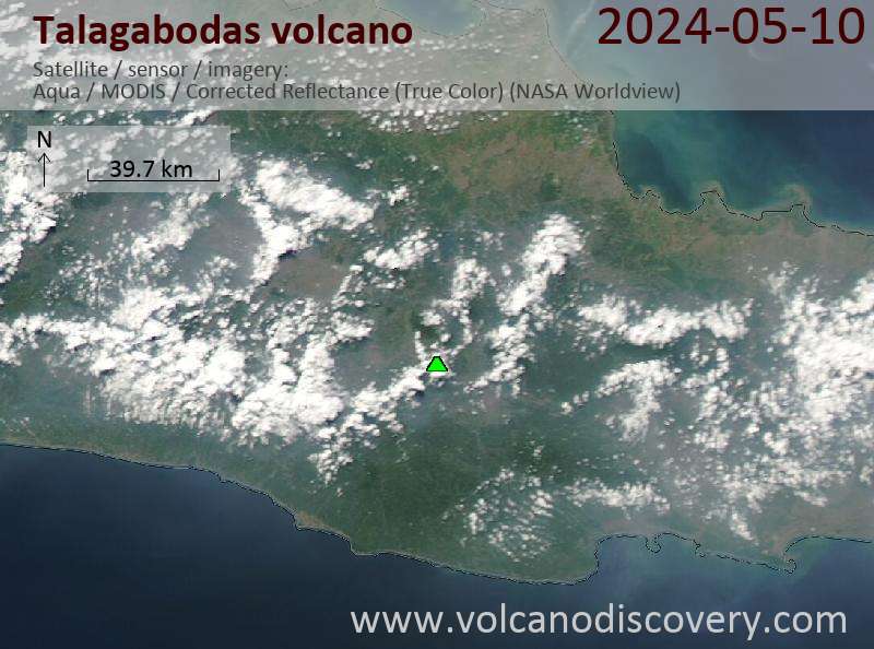
Latest satellite images
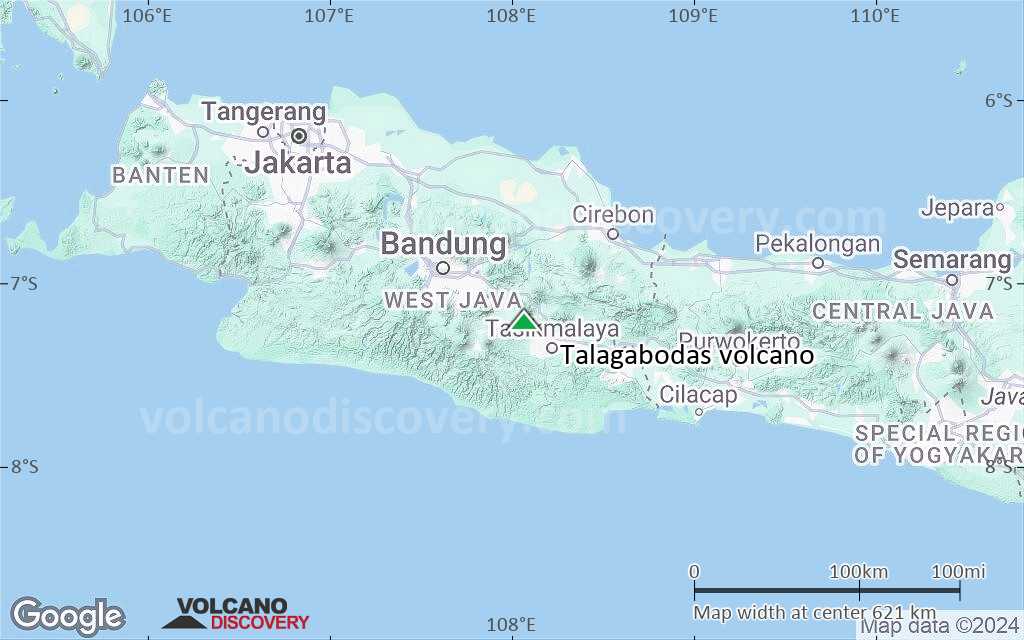
Talagabodas Volcano Maps
Below is a selection of maps showing the location and surroundings of the volcano at various resolutions based on aerial-imagery / terrain maps. Feel free to use them for non-commercial purposes on your blog or website as long as you credit them with a link back to this page (click to copy it).

Satellite/aerial-type map of Talagabodas volcano (world scale)

Terrain-type map of Talagabodas volcano (world scale)

Satellite/aerial-type map of Talagabodas volcano (region scale large)

Terrain-type map of Talagabodas volcano (region scale large)

Satellite/aerial-type map of Talagabodas volcano (region scale medium)

Terrain-type map of Talagabodas volcano (region scale medium)

Satellite/aerial-type map of Talagabodas volcano (region scale small)

Terrain-type map of Talagabodas volcano (region scale small)

Satellite/aerial-type map of Talagabodas volcano (local scale large)
Terrain-type map of Talagabodas volcano (local scale large)

Satellite/aerial-type map of Talagabodas volcano (local scale medium)

Terrain-type map of Talagabodas volcano (local scale medium)

Satellite/aerial-type map of Talagabodas volcano (local scale small)

Terrain-type map of Talagabodas volcano (local scale small)

Satellite/aerial-type map of Talagabodas volcano (scale of 10s of km)

Terrain-type map of Talagabodas volcano (scale of 10s of km)
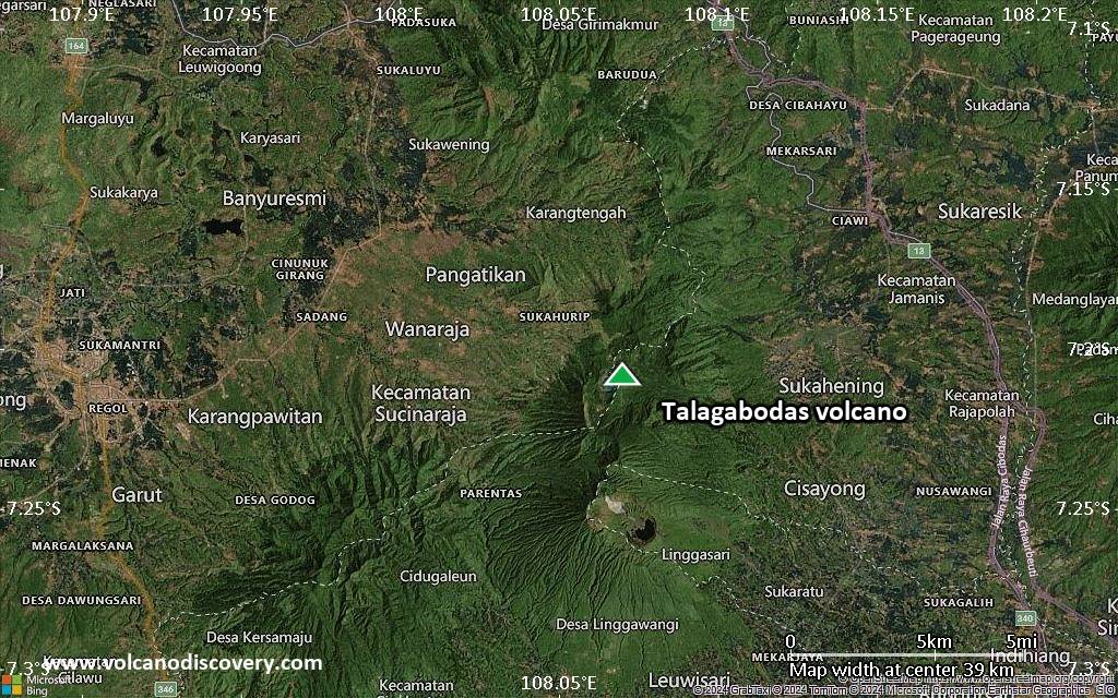
Satellite/aerial-type map of Talagabodas volcano (scale of 20-40 km)

Terrain-type map of Talagabodas volcano (scale of 20-40 km)

Satellite/aerial-type map of Talagabodas volcano (scale of approx. 10-20 km)

Terrain-type map of Talagabodas volcano (scale of approx. 10-20 km)

Satellite/aerial-type map of Talagabodas volcano (scale of 5-10 km)

Satellite/aerial-type map of Talagabodas volcano (scale of few kilometers)