


Tarso Voon Volcano
Updated: Jun 13, 2025 17:45 GMT -
Stratovolcano
Chad, 20.92°N / 17.28°E 
Summit height: 3100 m / 10,170 ft
Current status: normal or dormant (1 out of 5)
[smaller] [larger]
Tarso Voon volcano eruptions: unknown, no recent eruptions
Latest nearby earthquakes
| Date and Time | Mag / Depth | Distance / Location | |||
|---|---|---|---|---|---|
Background
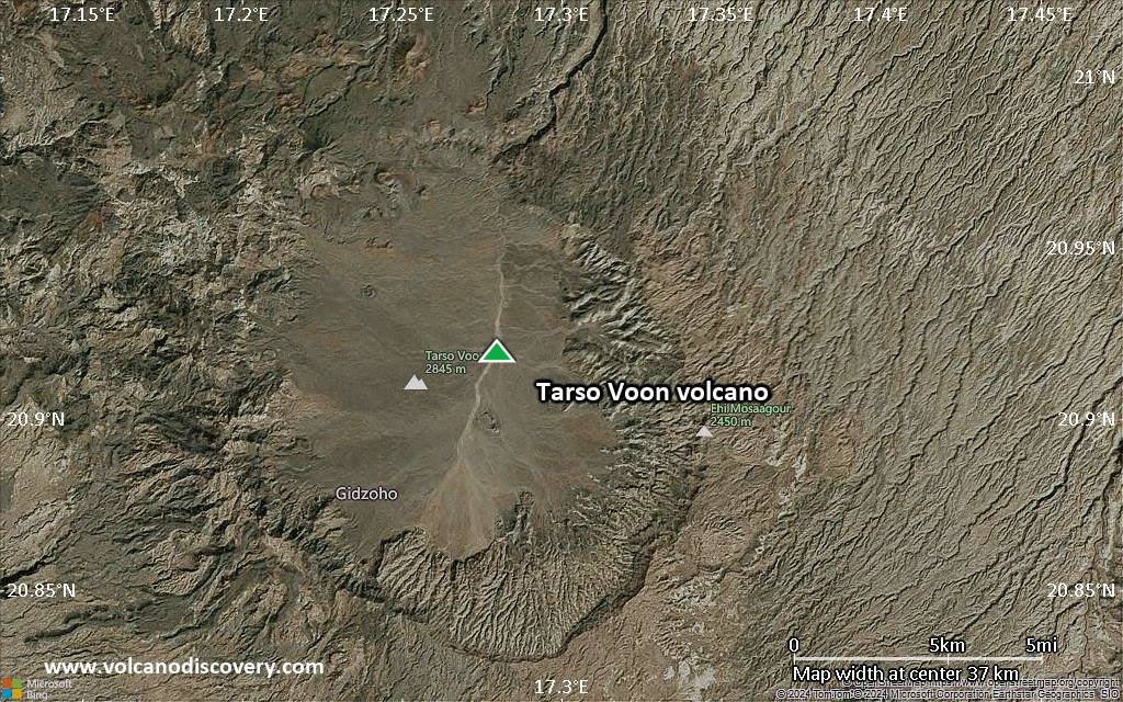
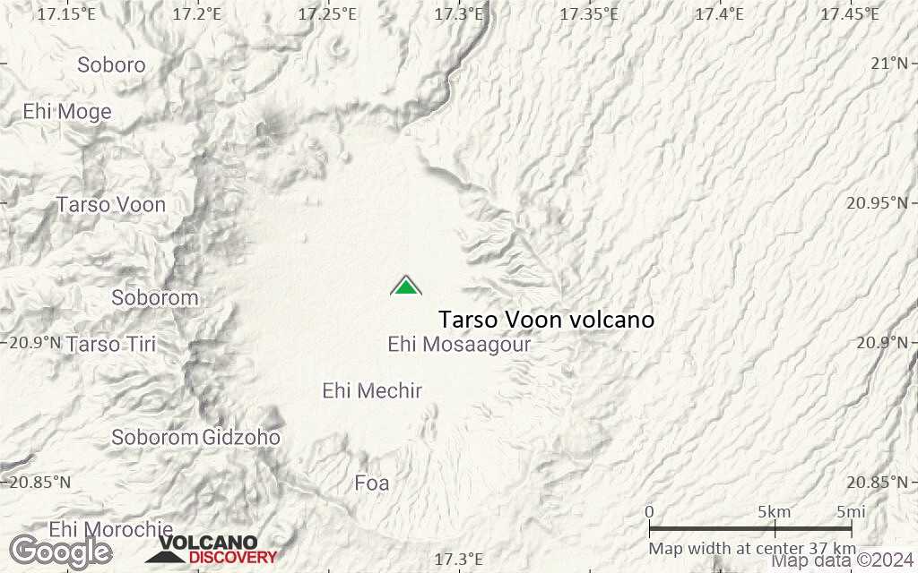
The broad summit of Tarso Voon volcano, located in the west-central part of the Tibesti Range, is truncated by a shallow 14 x 18 km wide caldera. Ignimbrite deposits surround the caldera to distances of 15-35 km. Tarso Voon was constructed over a basement of Precambrian schists. Youthful-looking Quaternary basaltic lava flows have been erupted from vents near the caldera rim over a 180 degree area extending counterclockwise from the NE and from Ehi Mousgau, a 3100-m-high stratovolcano located to the NW. The Soborom solfatara field, the largest in the Tibesti Range, is located in an area of volcano-tectonic uplift 5 km west of the caldera rim. Its fumaroles, active mud pots, and boiling waters are visited by Tibesti peoples for medicinal uses.---
Smithsonian / GVP volcano information
Latest satellite images

Tarso Voon Volcano Maps
Below is a selection of maps showing the location and surroundings of the volcano at various resolutions based on aerial-imagery / terrain maps. Feel free to use them for non-commercial purposes on your blog or website as long as you credit them with a link back to this page (click to copy it).
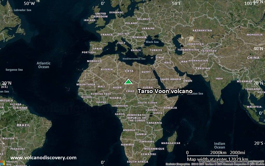
Satellite/aerial-type map of Tarso Voon volcano (world scale)

Terrain-type map of Tarso Voon volcano (world scale)
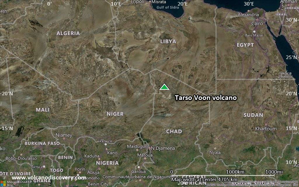
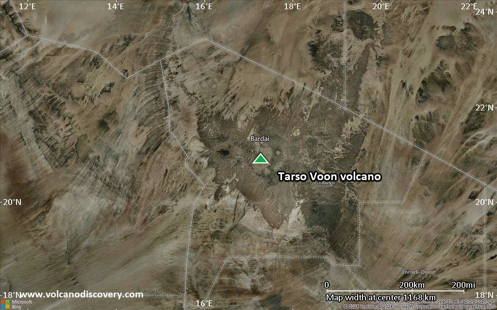
Satellite/aerial-type map of Tarso Voon volcano (region scale large)
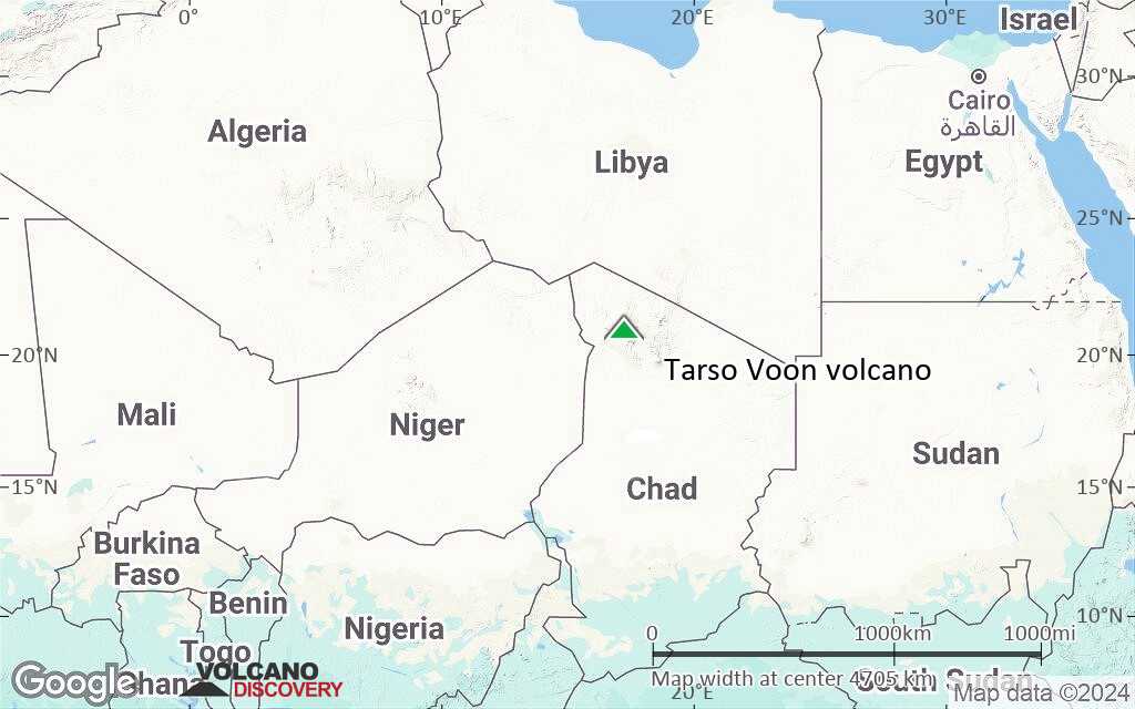
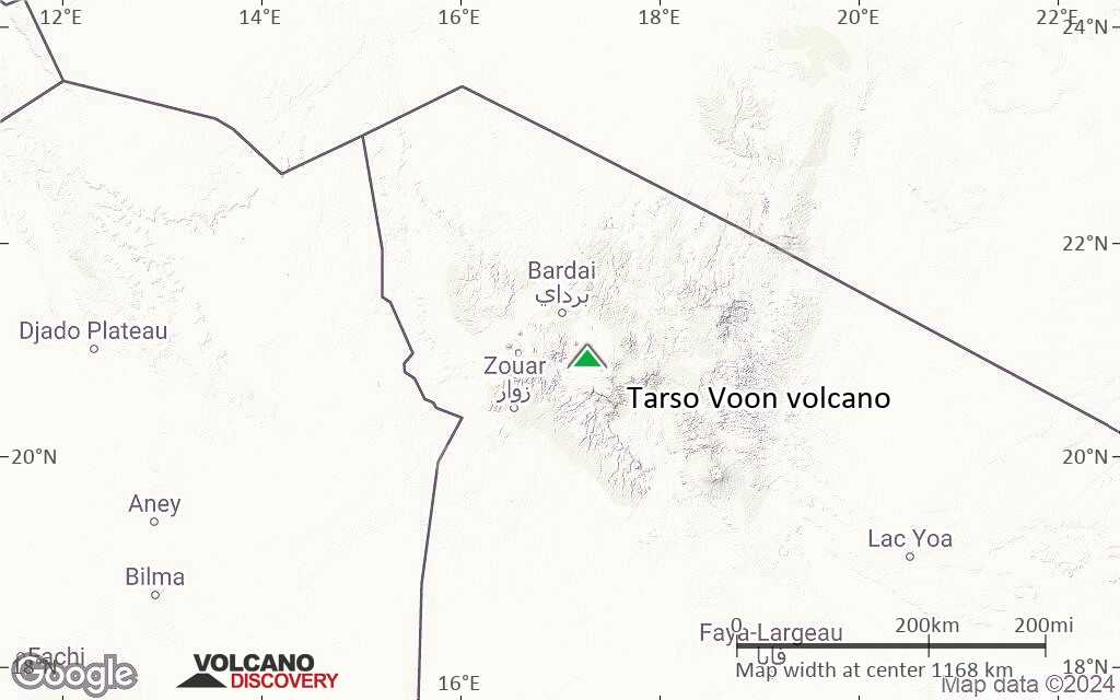
Terrain-type map of Tarso Voon volcano (region scale large)
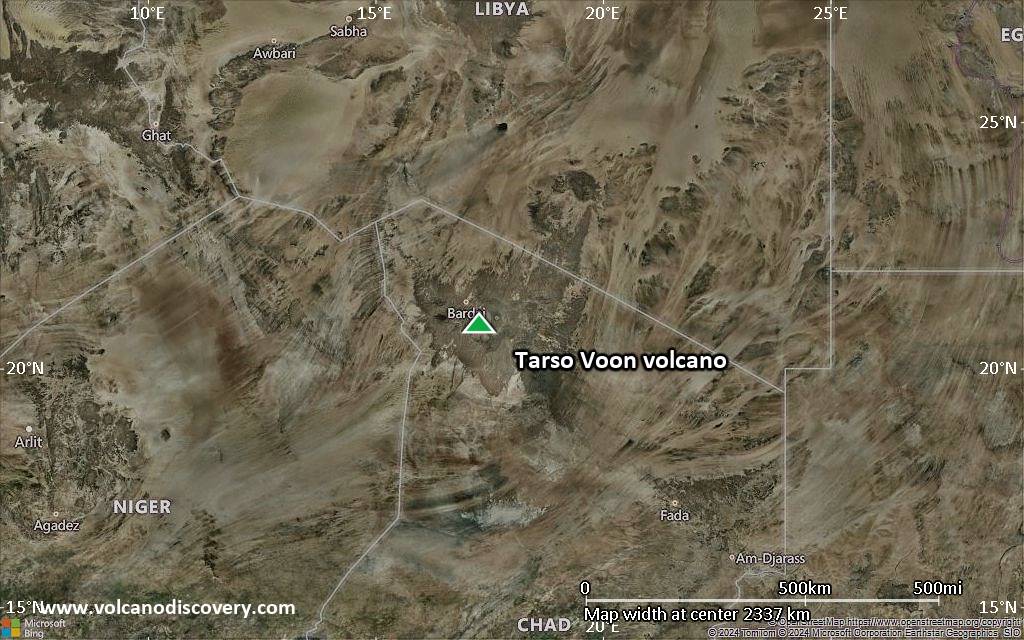
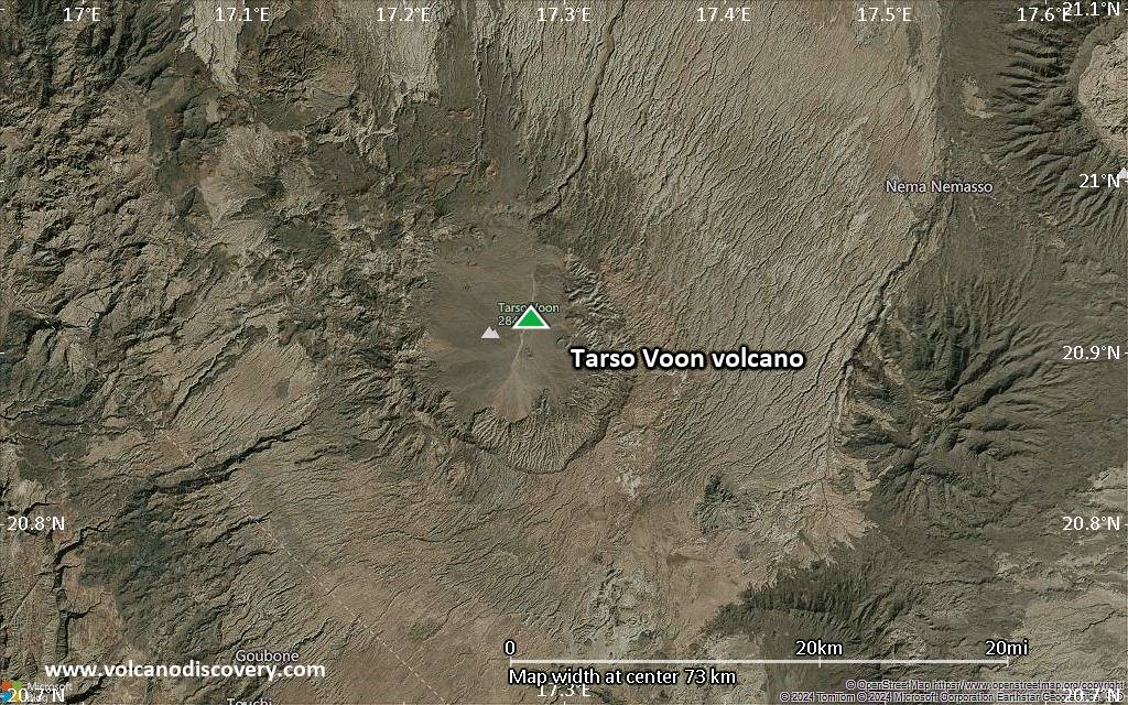
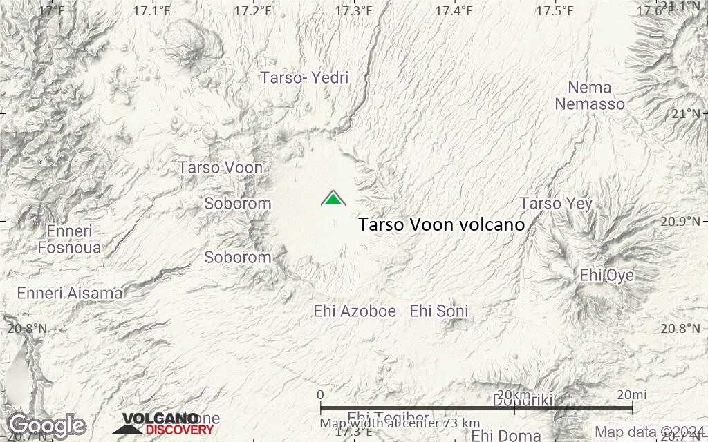
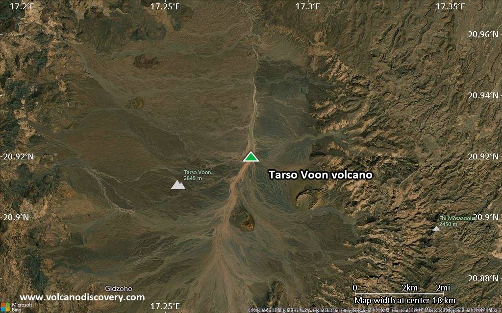
Satellite/aerial-type map of Tarso Voon volcano (region scale medium)
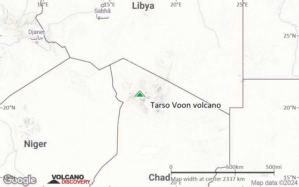
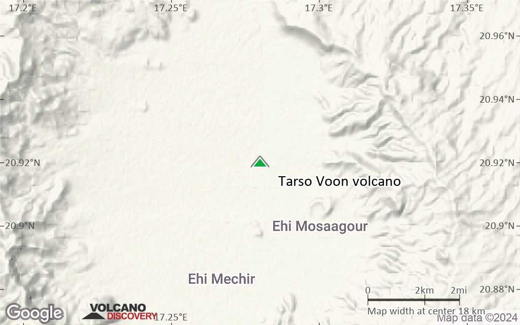
Terrain-type map of Tarso Voon volcano (region scale medium)
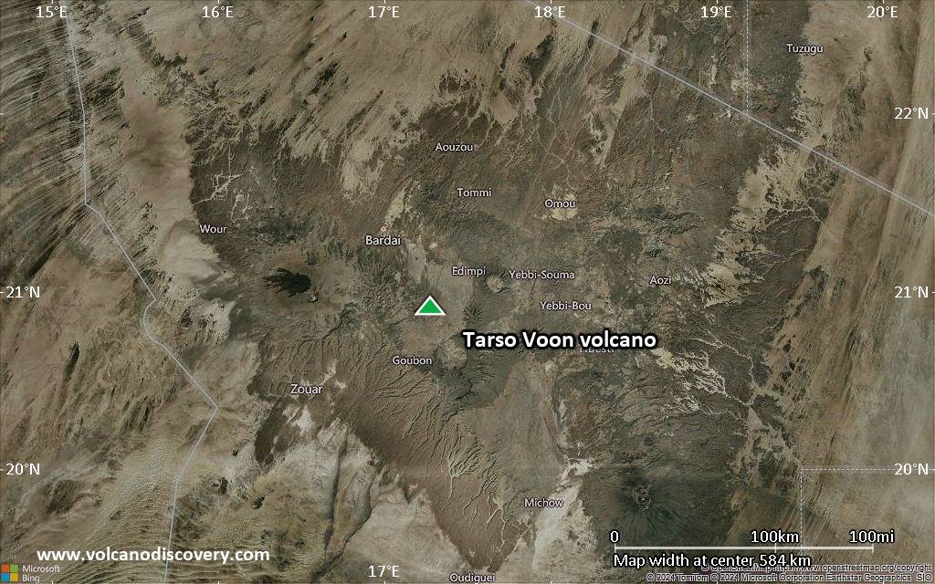
Satellite/aerial-type map of Tarso Voon volcano (region scale small)
Terrain-type map of Tarso Voon volcano (region scale small)
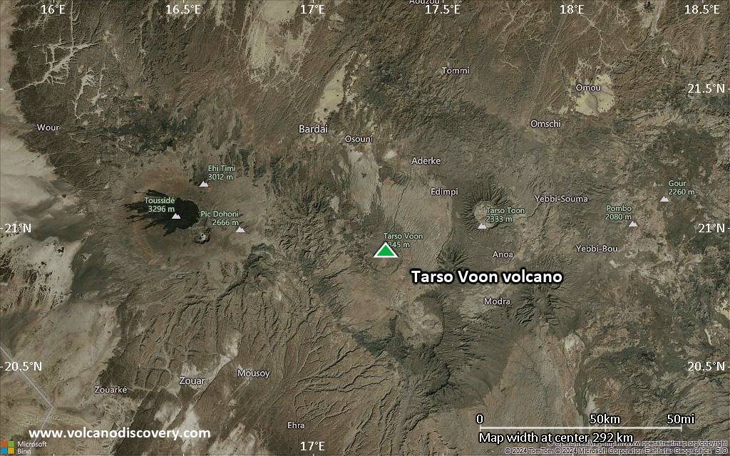
Satellite/aerial-type map of Tarso Voon volcano (local scale large)

Terrain-type map of Tarso Voon volcano (local scale large)
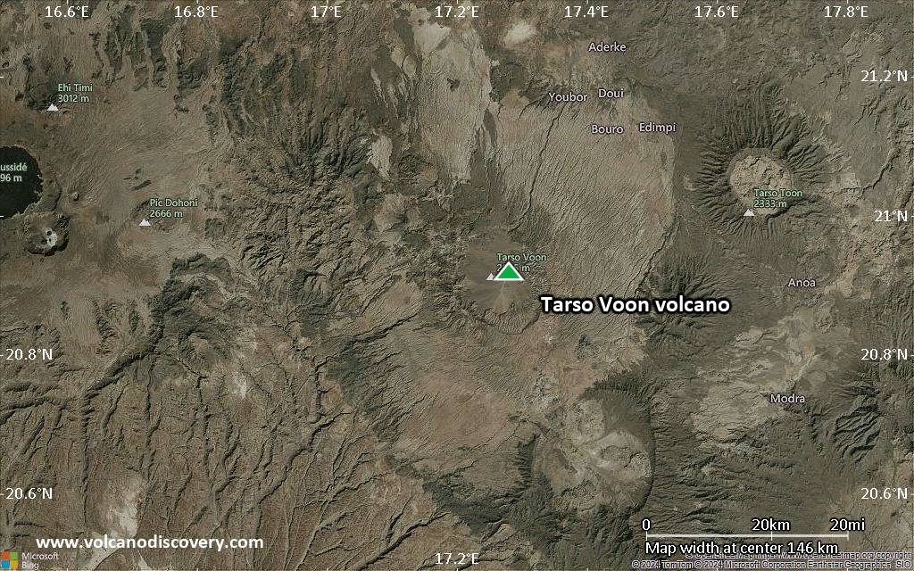
Satellite/aerial-type map of Tarso Voon volcano (local scale medium)

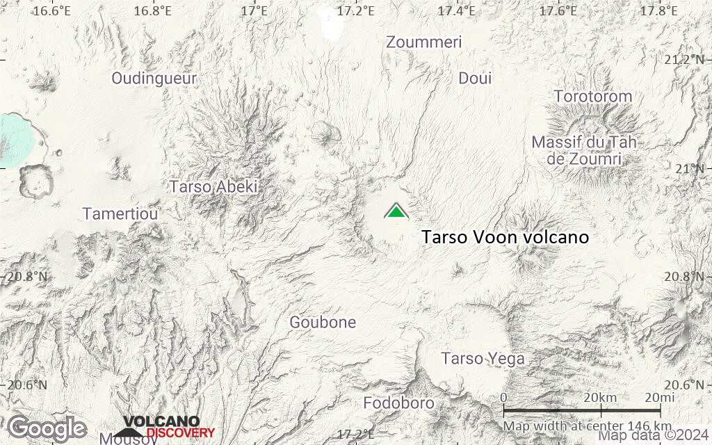
Terrain-type map of Tarso Voon volcano (local scale medium)
Satellite/aerial-type map of Tarso Voon volcano (local scale small)
Terrain-type map of Tarso Voon volcano (local scale small)
Satellite/aerial-type map of Tarso Voon volcano (scale of 10s of km)
Terrain-type map of Tarso Voon volcano (scale of 10s of km)
Satellite/aerial-type map of Tarso Voon volcano (scale of 20-40 km)
Terrain-type map of Tarso Voon volcano (scale of 20-40 km)
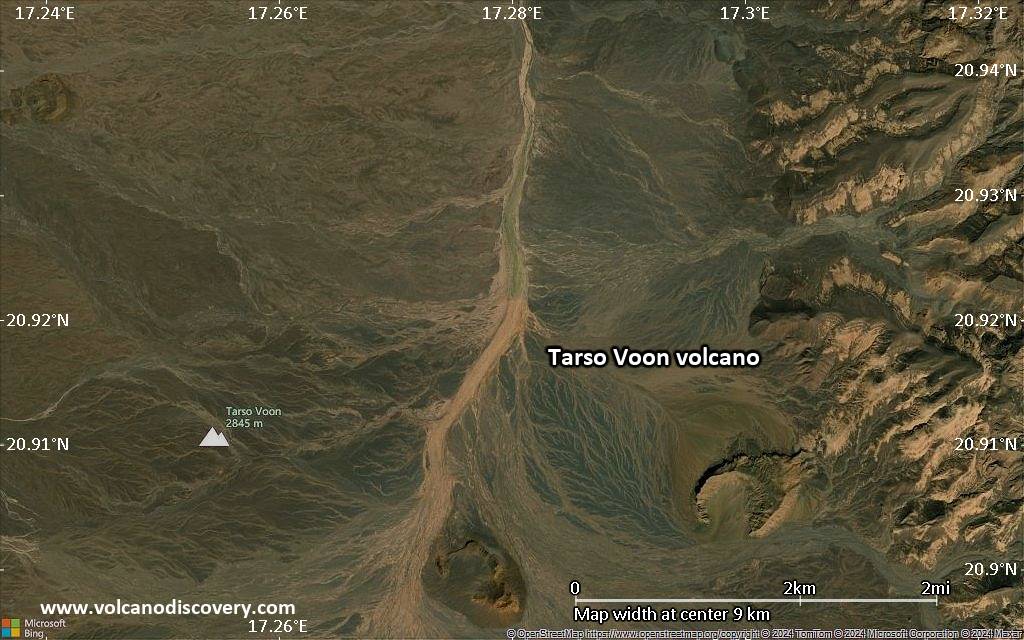
Satellite/aerial-type map of Tarso Voon volcano (scale of approx. 10-20 km)
Terrain-type map of Tarso Voon volcano (scale of approx. 10-20 km)
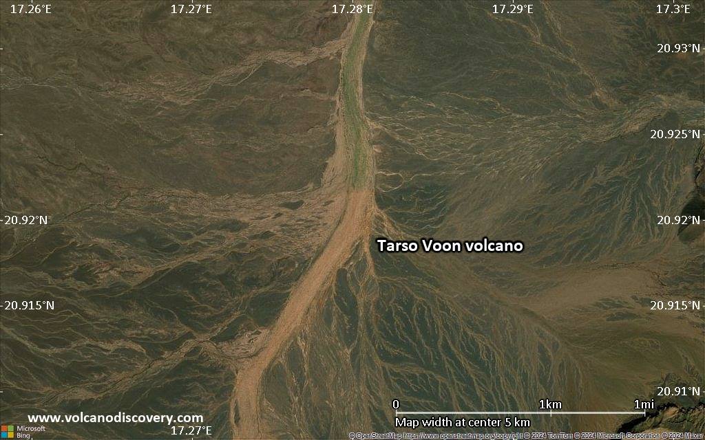
Satellite/aerial-type map of Tarso Voon volcano (scale of 5-10 km)
Satellite/aerial-type map of Tarso Voon volcano (scale of few kilometers)


