


Tralihue Volcano
Updated: Jul 17, 2025 00:56 GMT -
stratovolcano
Central Chile and Argentina (South America), -38.52°S / -70.9°W 
Summit height: summit elevation unknown
Current status: normal or dormant (1 out of 5)
Tralihue volcano in southwest Argentina is one of the lesser known probably still active volcanoes in the Andes. In post-glacial times, it has erupted small lava domes and basaltic tephra erupted from vents on a NW-trending fracture zone.
[smaller] [larger]
Tralihue volcano eruptions: within the past 10,000 years
Latest nearby earthquakes
| Date and Time | Mag / Depth | Distance / Location | |||
|---|---|---|---|---|---|
Latest satellite images

Tralihue Volcano Maps
Below is a selection of maps showing the location and surroundings of the volcano at various resolutions based on aerial-imagery / terrain maps. Feel free to use them for non-commercial purposes on your blog or website as long as you credit them with a link back to this page (click to copy it).
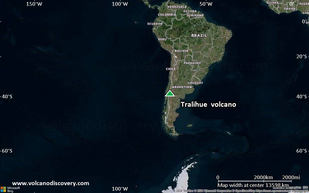
Satellite/aerial-type map of Tralihue volcano (world scale)

Terrain-type map of Tralihue volcano (world scale)
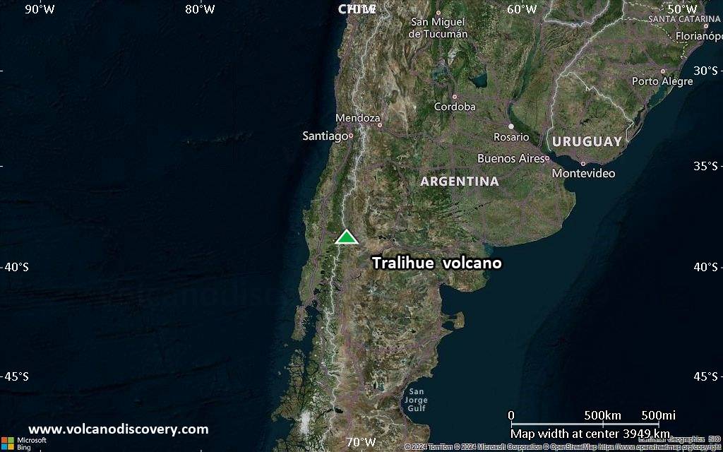
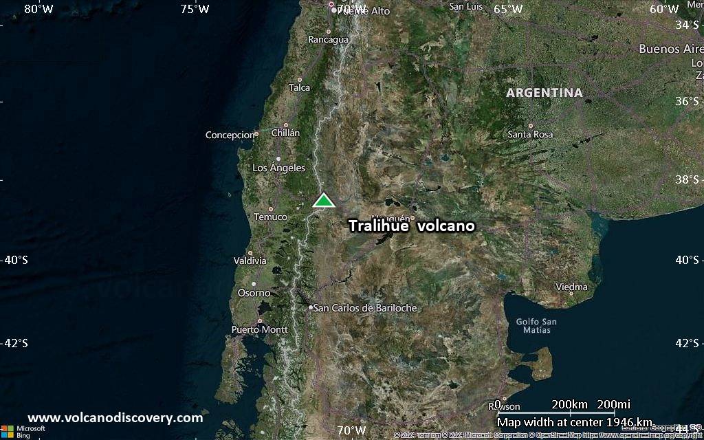
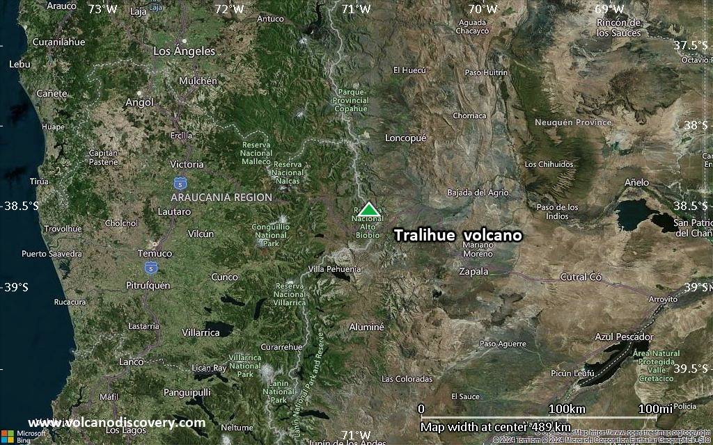
Satellite/aerial-type map of Tralihue volcano (region scale large)
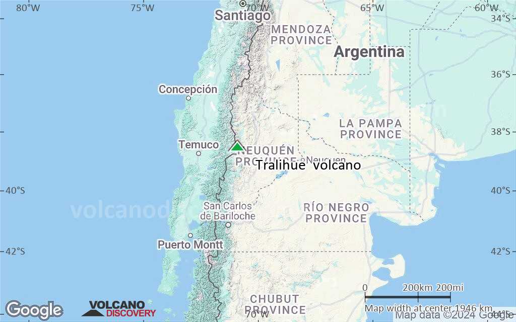
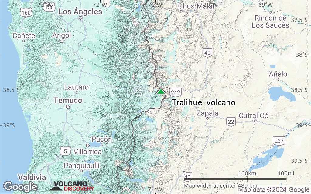
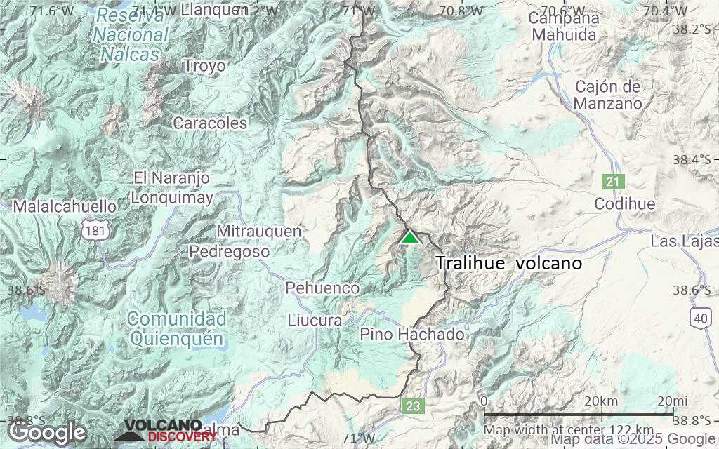
Terrain-type map of Tralihue volcano (region scale large)
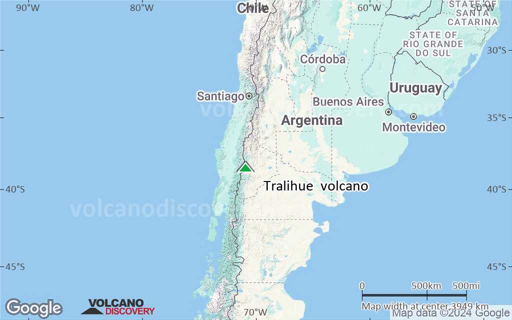
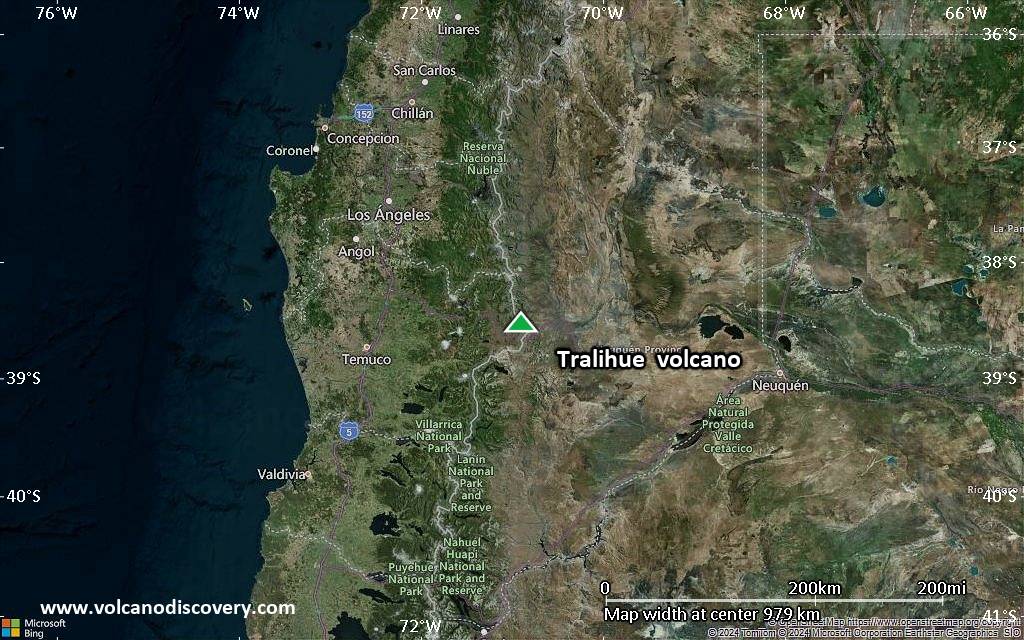
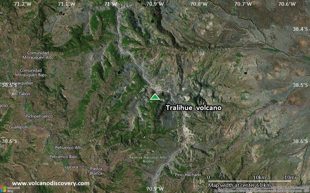
Satellite/aerial-type map of Tralihue volcano (region scale medium)
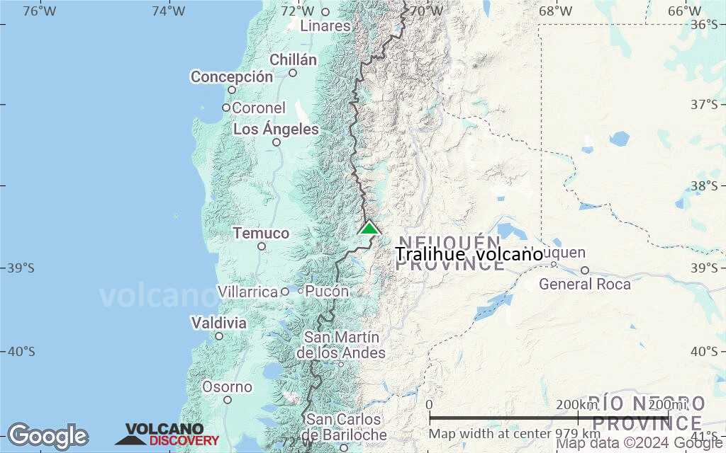
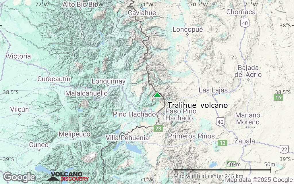
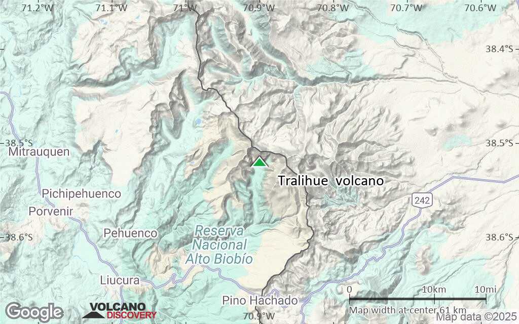
Terrain-type map of Tralihue volcano (region scale medium)
Satellite/aerial-type map of Tralihue volcano (region scale small)
Terrain-type map of Tralihue volcano (region scale small)
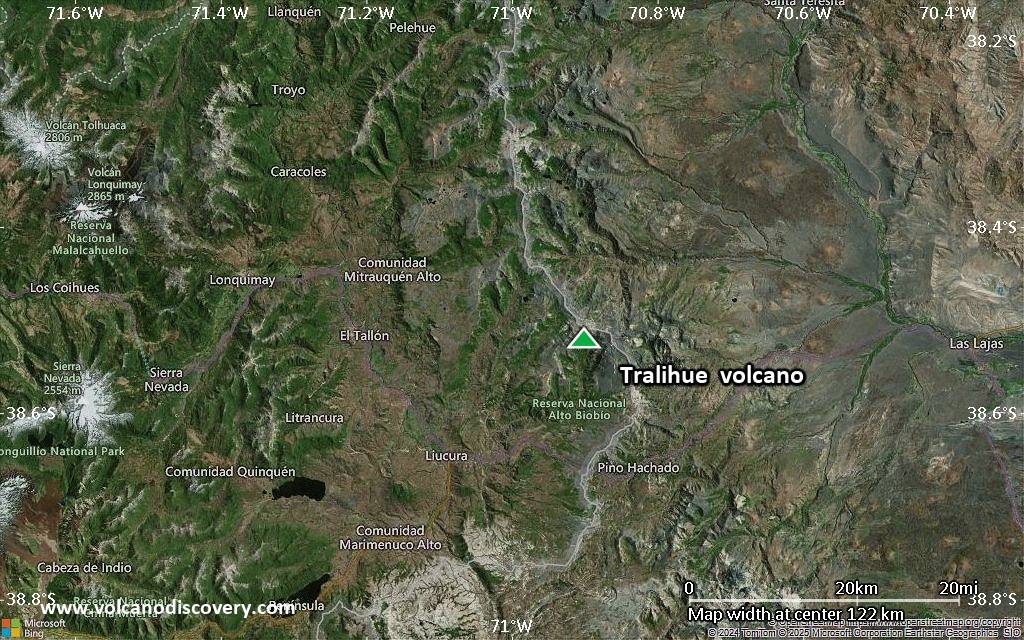
Satellite/aerial-type map of Tralihue volcano (local scale large)
Terrain-type map of Tralihue volcano (local scale large)

Satellite/aerial-type map of Tralihue volcano (local scale medium)
Terrain-type map of Tralihue volcano (local scale medium)
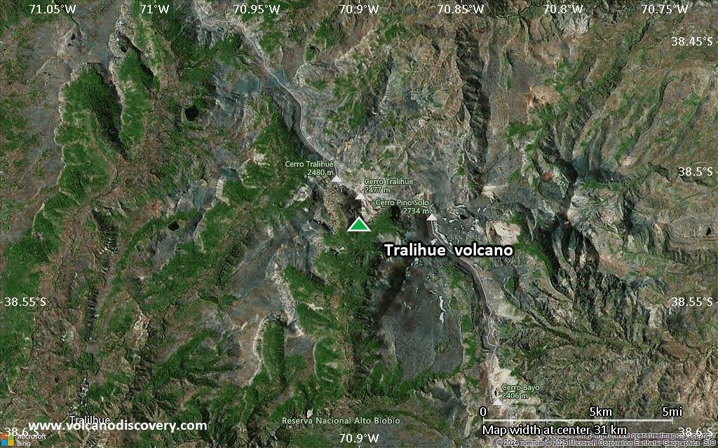
Satellite/aerial-type map of Tralihue volcano (local scale small)
Terrain-type map of Tralihue volcano (local scale small)
Satellite/aerial-type map of Tralihue volcano (scale of 10s of km)
Terrain-type map of Tralihue volcano (scale of 10s of km)
Satellite/aerial-type map of Tralihue volcano (scale of 20-40 km)
Terrain-type map of Tralihue volcano (scale of 20-40 km)

Satellite/aerial-type map of Tralihue volcano (scale of approx. 10-20 km)

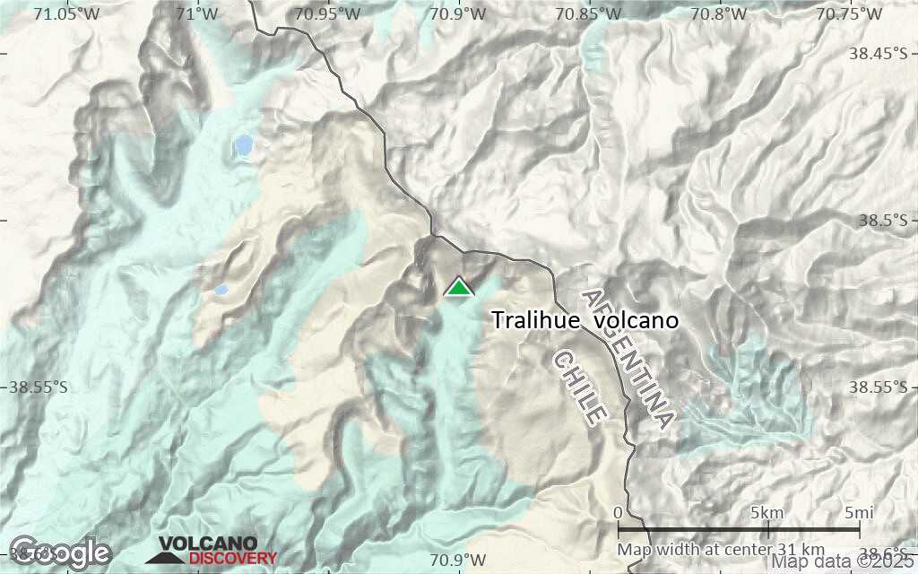
Terrain-type map of Tralihue volcano (scale of approx. 10-20 km)

Satellite/aerial-type map of Tralihue volcano (scale of 5-10 km)

Satellite/aerial-type map of Tralihue volcano (scale of few kilometers)


