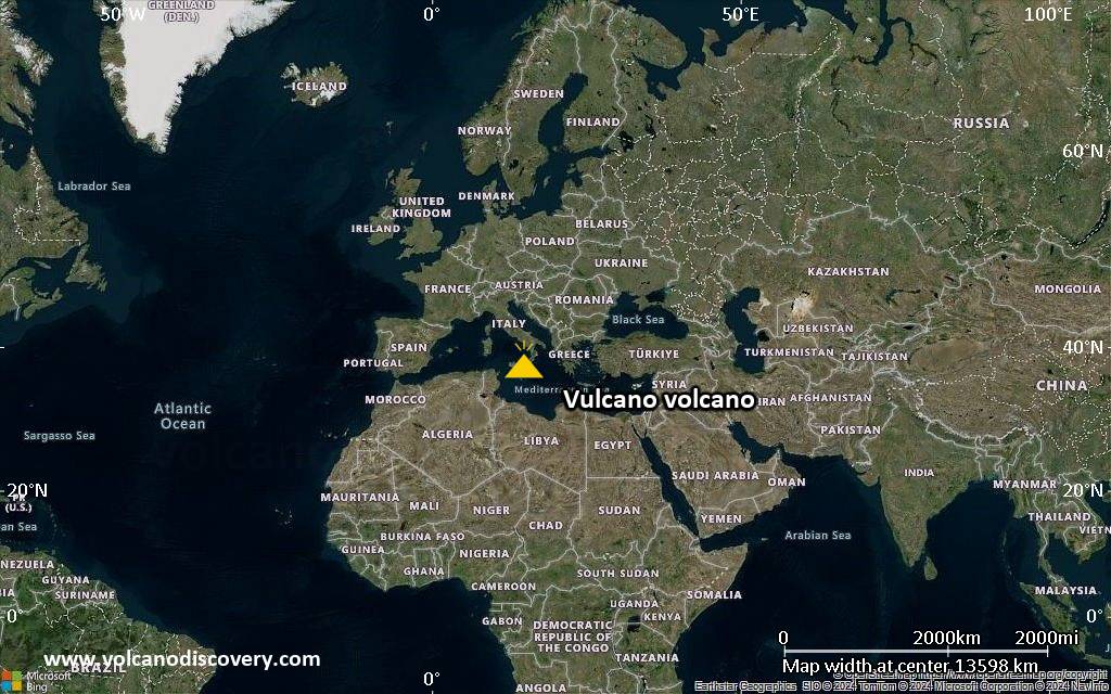
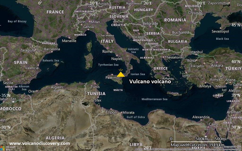
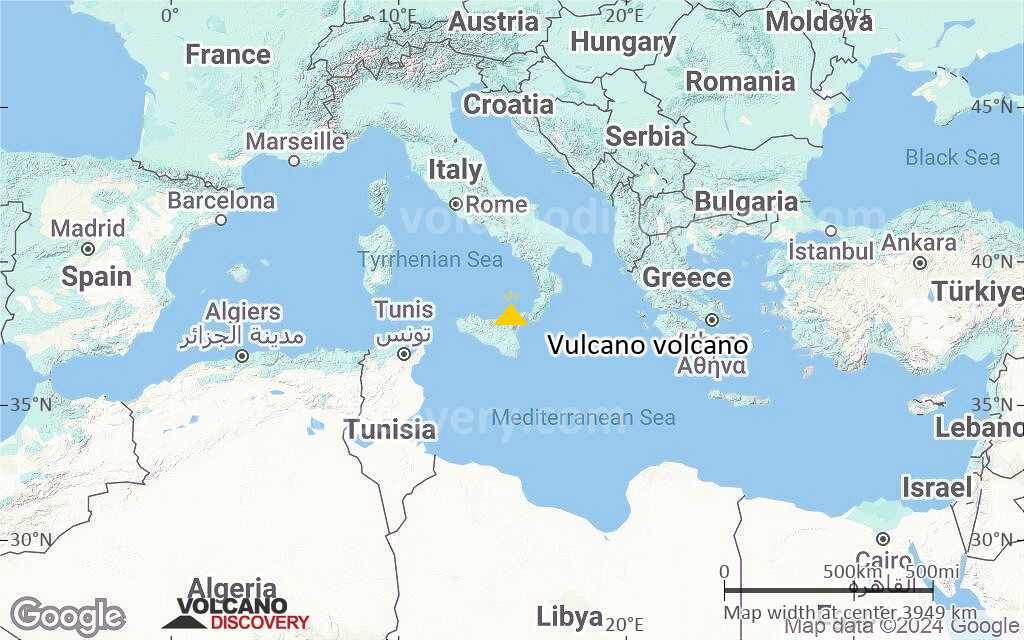
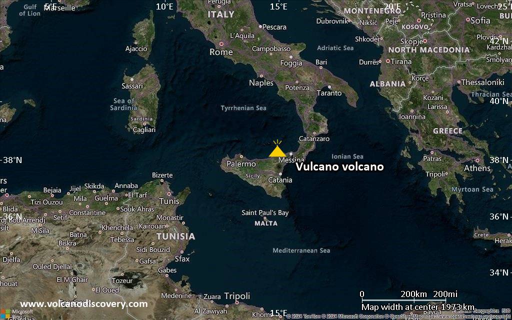
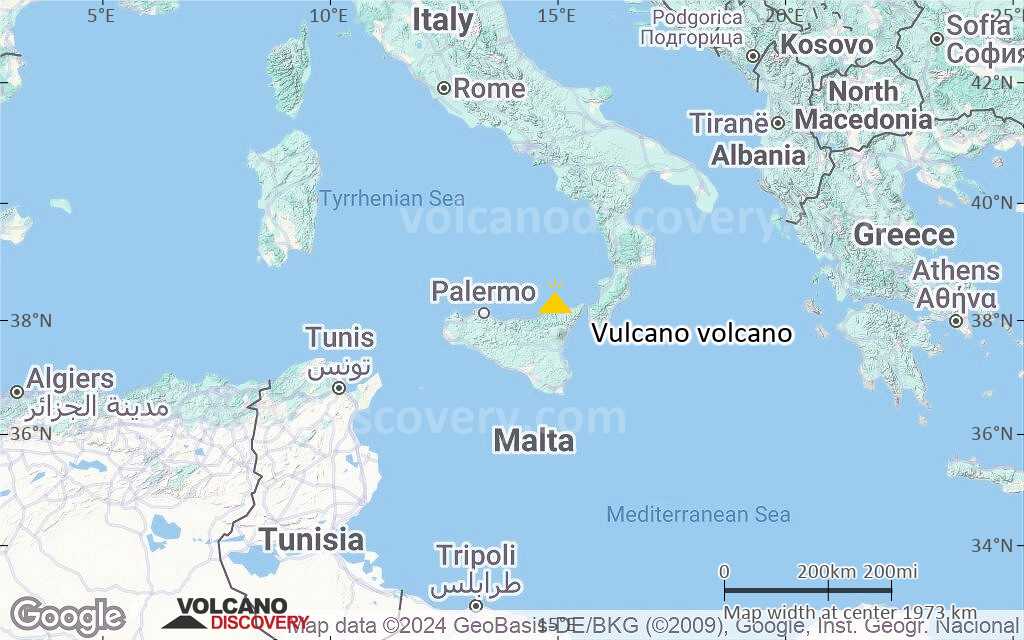
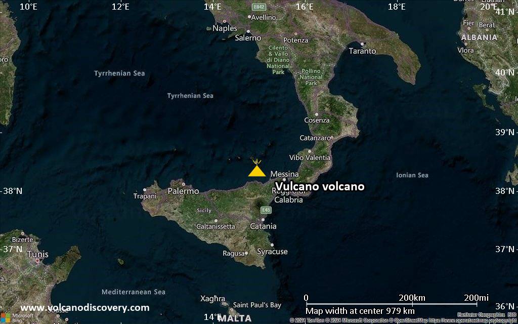
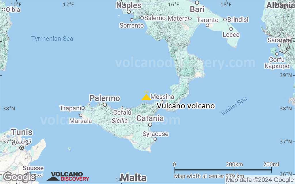
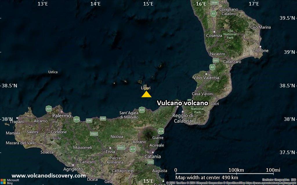
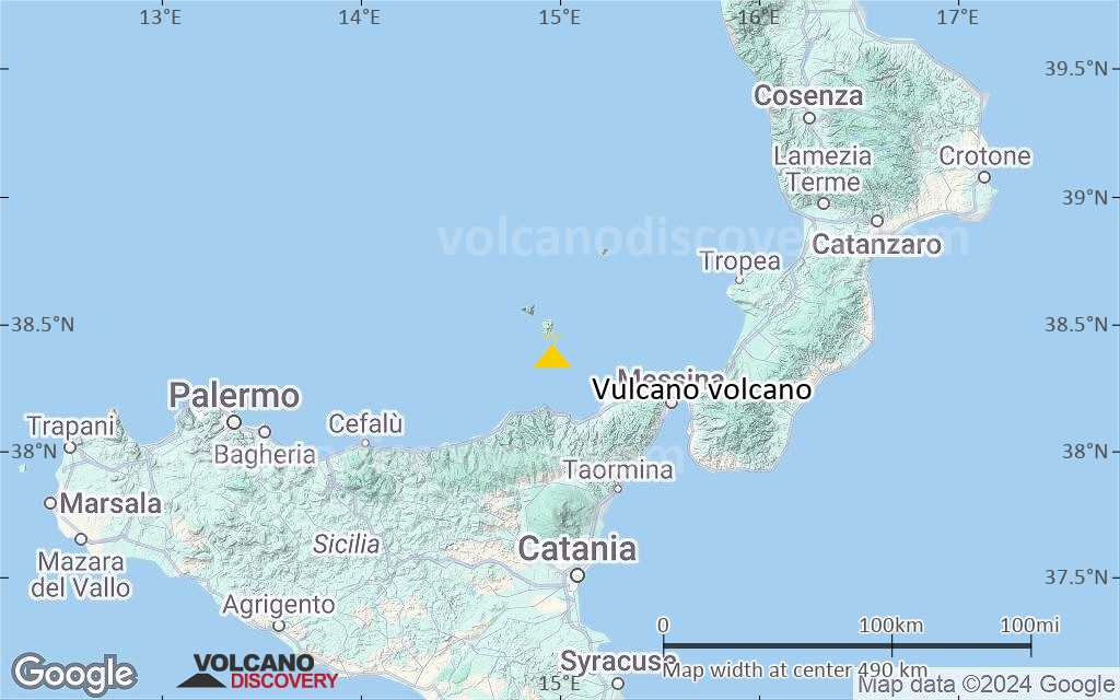
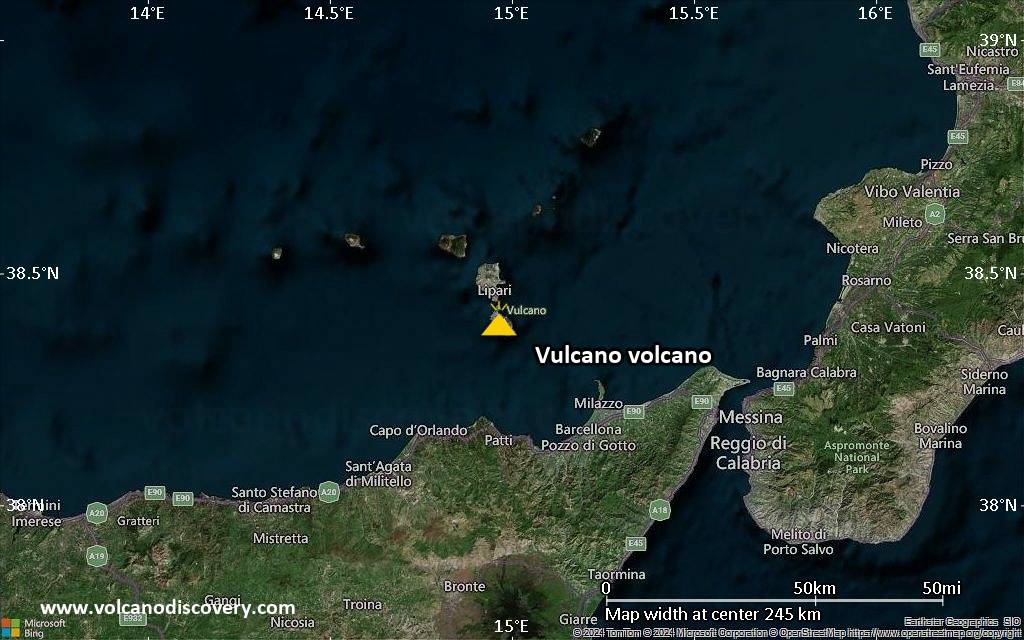
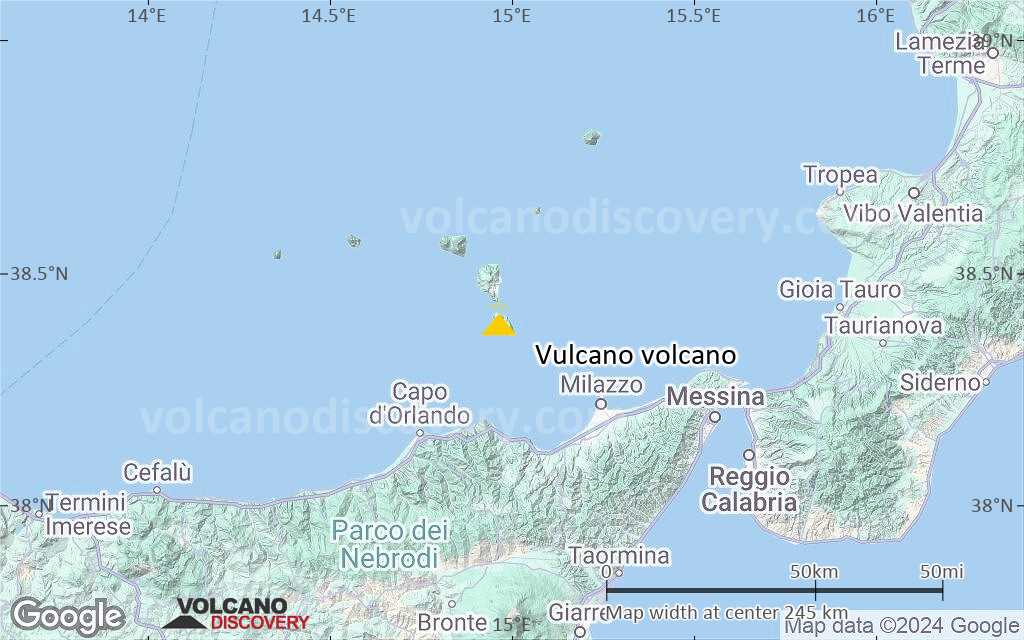
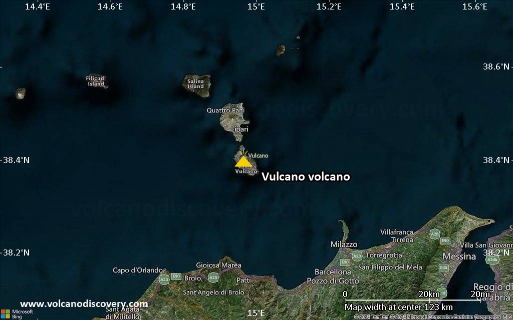
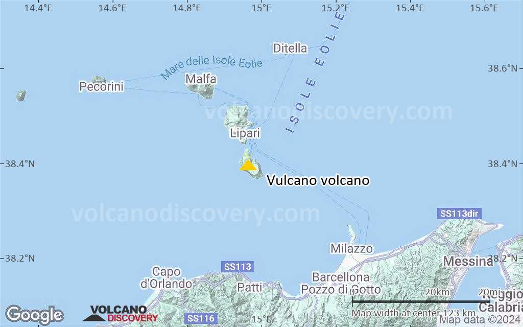
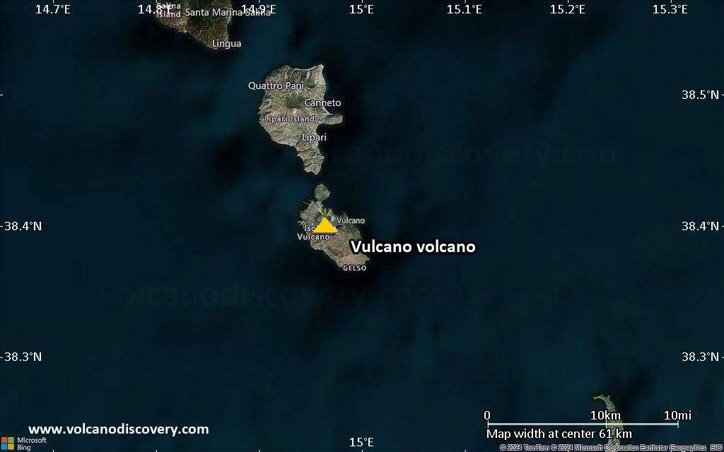
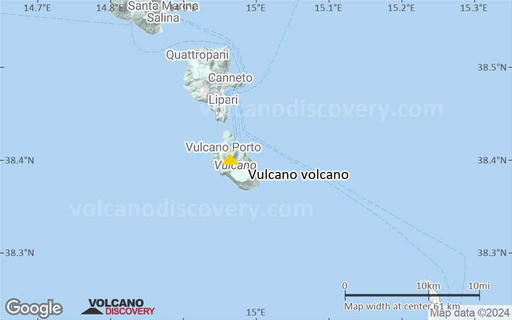
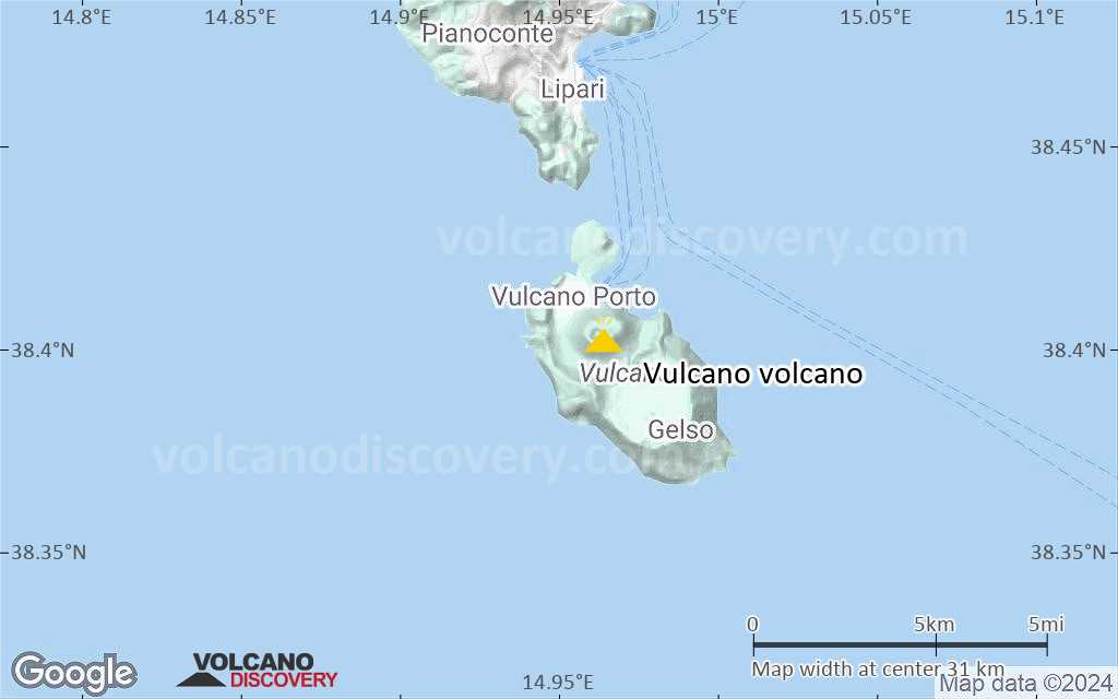
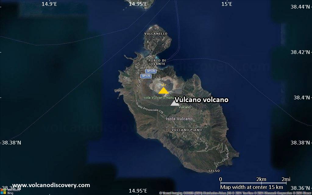
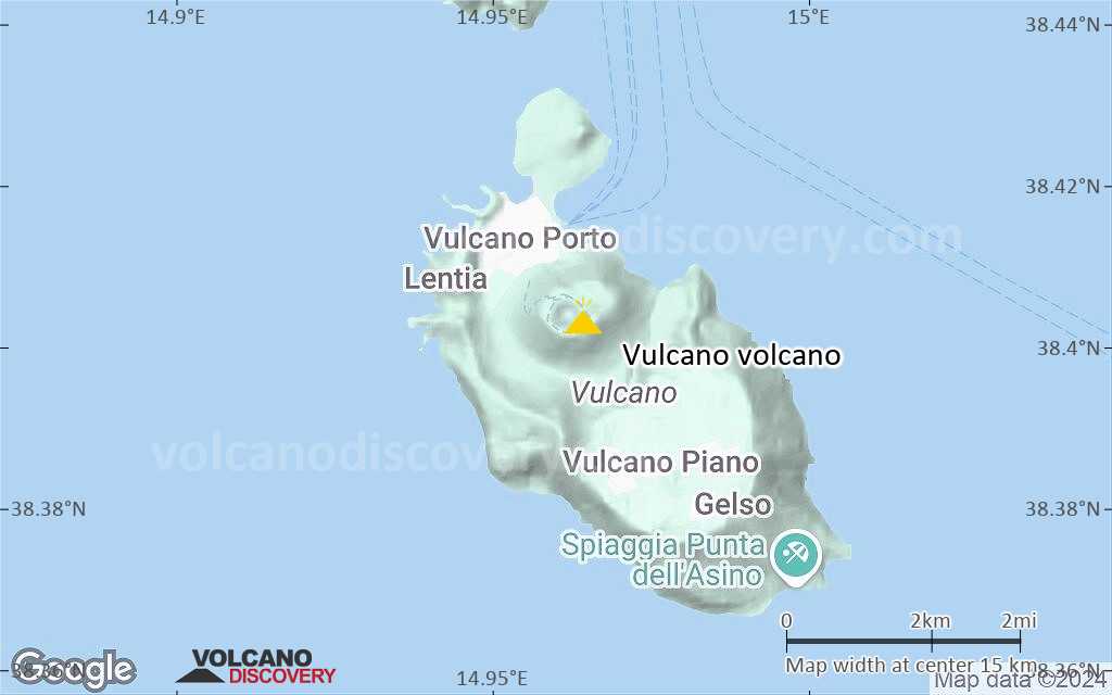
| RSS | EN | DE | EL | ES | FR | IT | RU

Vulcano Volcano

Updated: May 21, 2025 21:07 GMT -
Stratovolcano
Eolian Islands, Italy, 38.4°N / 14.96°E
Summit height: 500 m
Current status: restless (2 out of 5)
Last update: 22 Dec 2021
View of the crater of La Fossa volcano, Vulcano Island.

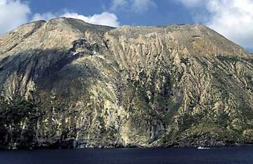
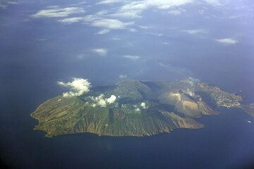
Vulcano, named after the Roman god of Fire, is the southernmost of the Eolian Islands north of Sicily, Italy. Vulcano has an active volcano (also called the Fossa) that has had frequent eruptions documented since Ancient times.

[smaller] [larger]
Typical eruption style: explosive (vulcanian) eruptions
Vulcano volcano eruptions: Frequent eruptions since Ancient and Medieval times; during the last 300 years eruptions in 1727, 1731, 1771, 1775(?), 1780, 1786(?), 1812(?), 1822(?), 1831(?), 1873, 1886, 1888, 1892(?)

Latest nearby earthquakes

Date and TimeMag / DepthDistance / Location
May 18, 11:17 pm (Universal Time)
0.4

9.8 km
7.8 km (4.9 mi) to the SE Italy: 9.5 km SE Da Porto Di Ponente (Vulcano) (ME) Info
May 18, 11:53 am (Universal Time)
0.6

7.9 km
7.1 km (4.4 mi) to the SW Isole Eolie (Messina) Info
Thursday, May 8, 2025 GMT (4 quakes)
May 8, 11:02 pm (Universal Time)
1.3

11 km
24 km (15 mi) to the NW Isole Eolie (Messina) Info
May 9, 12:35 am (GMT +2)
2.8

12 km
23 km (14 mi) to the W Isole Eolie (Messina) Info
May 8, 10:16 pm (Universal Time)
2.1

9.8 km
23 km (14 mi) to the NW Isole Eolie (Messina) Info
May 8, 06:49 am (Universal Time)
1.1

10.5 km
29 km (18 mi) to the SE Costa Siciliana Nord-Orientale (Messina) Info

Background

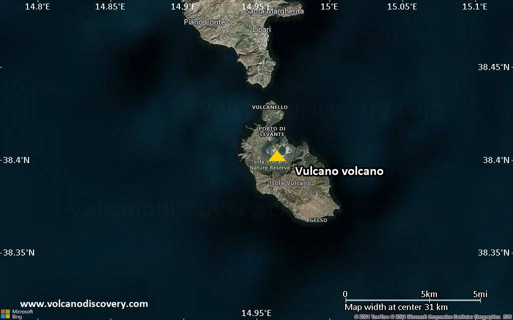
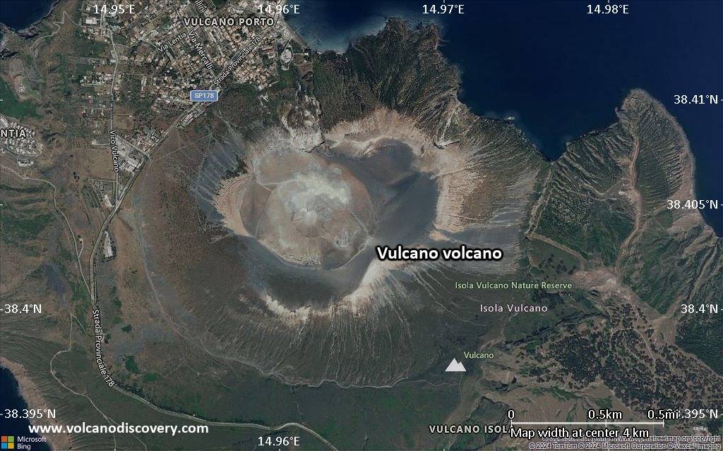
Vulcano was constructed during six volcanic stages during the past 136,000 years. Two overlapping calderas, the 2.5-km-wide Caldera del Piano on the SE and the 4-km-wide Caldera della Fossa on the NW, were formed at about 100,000 and 24,000-15,000 years ago, respectively, and volcanism has migrated to the north over time.
La Fossa cone, active throughout the Holocene and the location of most of the historical eruptions of Vulcano, occupies the 3-km-wide Caldera della Fossa at the NW end of the elongated, 3 x 7 km island. The Vulcanello lava platform forms a low, roughly circular peninsula on the northern tip of Vulcano that was formed as an island beginning in 183 BC and was connected to Vulcano in about 1550 AD. Vulcanello is capped by three pyroclastic cones and was active intermittently until the 16th century. The latest eruption from Vulcano consisted of explosive activity from the Fossa cone from 1898 to 1900. Source: Smithsonian GVP

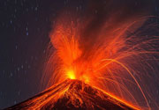
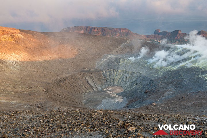
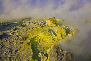
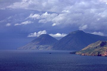
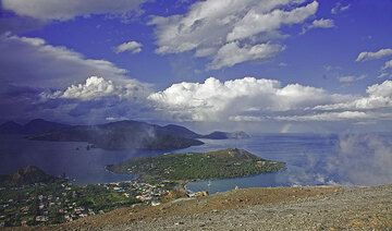
Vulcano Volcano Photos

Significant volcanic eruptions: Vulcano volcano

In the past 10,000 years, Vulcano has had at least 37 confirmed volcanic eruptions, out of which 27 are documented by historical records, while the others can be inferred from geological evidence.
Additionally, there are 9 uncertain or discredited eruptions from Vulcano volcano.
The table below lists all known eruptions (date in bold face) of Vulcano volcano since around 1000 AD. Updates on the most recent volcanic activity of Vulcano can be found on the news page of Vulcano volcano.
DateNoteVEIDeathsDamage
1968 Jul 11
Discredited Eruption
?? 1892 Dec 14
Uncertain Eruption
?
1888 Aug 2 - 1890 Mar 22Fossa
Historical obs./docs.
3
1886 Jan 5 ±4 d.Fossa
Historical obs./docs.
3
1873 Sep - 1879Fossa
Historical obs./docs.
3
?? 1831
Uncertain Eruption
1?
?? 1822 - 1823
Uncertain Eruption
2?
?? 1812
Uncertain Eruption
1?
?? 1786
Uncertain Eruption
3
1780Fossa
Historical obs./docs.
2
?? 1775
Uncertain Eruption
?
1771 Feb 17 - MayFossa
Historical obs./docs.
3
1731 - 1739Fossa
Historical obs./docs.
3
1727Forgia Vecchia II and Fossa
Historical obs./docs.
3
1688 ADFossa
Historical obs./docs.
?
1651 ADFossa
Historical obs./docs.
?
1631 AD
Historical obs./docs.
?
1626 AD Mar - Apr
Historical obs./docs.
3
1618 AD
Historical obs./docs.
?
1550 ADVulcanello III
Historical obs./docs.
3
1444 AD Feb 4
Historical obs./docs.
3
1230 ±20 y. ADFossa?
1200 ±75 y. ADVulcanello2?
1040 ±75 y. AD2?
Remark:
Our list of volcanic eruptions closely follows the database of eruptions of the Smithsonian's Global Volcanism Project (GVP), the internationally most recognized data source for volcanic eruptions, but also includes significant eruptive episodes or related volcano events. "Volcanic eruptions" are usually to be understood as sequences of individual eruptive episodes that can follow each other, or even overlap (if several vents are involved), and can last many years, decades or even longer. For example, the current activity of Stromboli volcano is understood as a single eruption that has been ongoing since 1934.
Sources: NOAA National Centers for Environmental Information (NCEI), Global Significant Volcanic Eruptions Database. doi:10.7289/V5TD9V7K | Global Volcanism Project / Smithsonian Institution

Vulcano Volcano FAQ

+When was the last eruption of Vulcano volcano?

+How often does Vulcano volcano erupt?

+When was the largest eruption of Vulcano volcano?

Latest satellite images

Vulcano satellite image sat1Vulcano satellite image sat2
Vulcano Volcano Tours
Naples, Eolian Islands, Etna (Italy)
Volcanoes of Italy - the Grand Tour
15-day study & walking tour to Italy's volcanoes from Vesuvius to Etna
15 days (14 nights) - Easy to Moderate
Price 3890 €
3-17 Oct 2025
2-16 Oct 2026
Sicily and Eolian Islands (Italy)
From Stromboli to Etna
9-day walking & study tour to Stromboli, Lipari, Vulcano and Etna with our expert volcanologist
9 days / 8 nights - Easy to Moderate
Price 2950 €
4-12 Oct 2025

Vulcano Volcano Maps

Below is a selection of maps showing the location and surroundings of the volcano at various resolutions based on aerial-imagery / terrain maps. Feel free to use them for non-commercial purposes on your blog or website as long as you credit them with a link back to this page (click to copy it).
Satellite/aerial-type map of Vulcano volcano (world scale)
Terrain-type map of Vulcano volcano (world scale)
Satellite/aerial-type map of Vulcano volcano (region scale large)
Terrain-type map of Vulcano volcano (region scale large)
Satellite/aerial-type map of Vulcano volcano (region scale medium)
Terrain-type map of Vulcano volcano (region scale medium)
Satellite/aerial-type map of Vulcano volcano (region scale small)
Terrain-type map of Vulcano volcano (region scale small)
Satellite/aerial-type map of Vulcano volcano (local scale large)
Terrain-type map of Vulcano volcano (local scale large)
Satellite/aerial-type map of Vulcano volcano (local scale medium)
Terrain-type map of Vulcano volcano (local scale medium)
Satellite/aerial-type map of Vulcano volcano (local scale small)
Terrain-type map of Vulcano volcano (local scale small)
Satellite/aerial-type map of Vulcano volcano (scale of 10s of km)
Terrain-type map of Vulcano volcano (scale of 10s of km)
Satellite/aerial-type map of Vulcano volcano (scale of 20-40 km)
Terrain-type map of Vulcano volcano (scale of 20-40 km)
Satellite/aerial-type map of Vulcano volcano (scale of approx. 10-20 km)
Terrain-type map of Vulcano volcano (scale of approx. 10-20 km)
Satellite/aerial-type map of Vulcano volcano (scale of 5-10 km)
Satellite/aerial-type map of Vulcano volcano (scale of few kilometers)
La Fossa cone, Vulcano island, seen from the sea
Large breadcrust bomb at the crater rim of La Fossa volcano, Vulcano - Eolian Islands (Italy)
Beneficial effects of volcanic mud, Vulcano island (Italy)
Volcanoes & Earthquakes - new app for Android
Guaranteed tours
9-25 Jun 2025: Volcanoes and Spices - Sulawesi/Halmahera (Indonesia)
7-22 Jul 2025: From Krakatau to Bali - Java (Indonesia)
7-23 Jul 2025: Volcanoes and Spices - Sulawesi/Halmahera (Indonesia)
1-17 Aug 2025: Volcanoes and Spices - Sulawesi/Halmahera (Indonesia)
1-14 Oct 2025: Desert, salt and volcanoes - Danakil desert (Ethiopia)
4-12 Oct 2025: From Stromboli to Etna - Sicily and Eolian Islands (Italy)
6-21 Oct 2025: From Krakatau to Bali - Java (Indonesia)
3-19 Nov 2025: Volcanoes and Spices - Sulawesi/Halmahera (Indonesia)
= spaces available   = guaranteed   = few spaces left   = booked out
Wed, 1 Dec 2021, 09:28

Vulcano volcano (Eolian Islands, Italy): unrest continues with very high gas emissions and ongoing ground deformation

Carbon dioxide emissions at Vulcano in the past weeks (image: INGV Catania)
The situation at the volcano remains more or less unchanged. According to the latest status bulletin of the observatory (INGV Catania), most parameters of internal volcanic activity are at similar levels as during the past weeks, and continue to show that the volcano is restless. ... Read all
Wed, 24 Nov 2021, 17:16

Vulcano volcano (Eolian Islands, Italy): unrest continues, increase in CO2 emissions

Measured temperatures at the fumaroles on Vulcano's Fossa volcano (image: INGV Catania)
Unrest continues at the volcano with little changes, according to the latest surveillance data published by the National Institute of Volcanology (INGV) in Catania, responsible for the monitoring of Etna and the Eolian Islands. ... Read all
The hot springs of Vulcano at sea level
Crater of La Fossa volcano, with views over the archipelago

On this page:

Try our free app!
Volcanoes & Earthquakes - new app for Android
Android | iOS version

More on VolcanoDiscovery

Why is there advertising on this site?

Support us - Help us upgrade our services!

We truly love working to bring you the latest volcano and earthquake data from around the world. Maintaining our website and our free apps does require, however, considerable time and resources.
We need financing to increase hard- and software capacity as well as support our editor team. We're aiming to achieve uninterrupted service wherever an earthquake or volcano eruption unfolds, and your donations can make it happen! Every donation will be highly appreciated. If you find the information useful and would like to support our team in integrating further features, write great content, and in upgrading our soft- and hardware, please make a donation (PayPal).

Planned features:Thanks to your past donations, these features have been added recently:
Download and Upgrade the Volcanoes & Earthquakes app to get one of the fastest seismic and volcano alerts online:
Android | IOS
Thank you!
Sources: VolcanoDiscovery / VolcanoAdventures and other sources as noted.
Use of material: Most text and images on our websites are owned by us. Re-use is generally not permitted without authorization. Contact us for licensing rights.
Volcanoes & Earthquakes
VolcanoDiscovery Home
Volcanoes | Earthquakes | Photos | Volcano News | | Shop | App
Adventure & Study Travel
Tours to Volcanoes and Volcanic Areas: walking tours, photo tours, study tours
Tours & Dates | FAQ | About us
Get our newsletter!
Company info
Contact | Legal info | Terms & conditions
Follow us
Follow us on facebook Follow us on Instagram Follow us on Bluesky Follow us on Twitter Visit our Youtube channel
EN | DE | EL | ES | FR | IT | RU
VolcanoDiscovery GmbH, Germany, Reg. nr.: HRB 103744, EU Tax Id: DE 297 465 123 owned and created by
Dr. Tom Pfeiffer, volcanologist, volcano photographer, tour organizer member of
IAVCEI
IAVCEI
Vulkanologische Gesellschaft
Volcanological Society
Ecotourism Greece
Ecotourism Greece
RUV insurance
Insured by R+V
VolcanoDiscovery © 2004- All Rights Reserved | Privacy - Cookie Settings