Waianae Volcano
Updated: Jun 27, 2025 23:36 GMT -
Shield
Hawaiian Islands, United States, 21.52°N / -158.15°W 
Summit height: 1220 m / 4003 ft
Current status: (probably) extinct (0 out of 5)
[smaller] [larger]
Waianae volcano eruptions: None during the past 10,000 years
Less than few million years ago (Pleistocene)
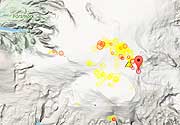
Latest nearby earthquakes
| Date and Time | Mag / Depth | Distance / Location | |||
|---|---|---|---|---|---|
Background
The elongated Waianae shield volcano forms much of western Oahu Island. The Waianae Slump, a landslide formed during multiple events, extends 90 km SW (Moore et al. 1989). The heavily eroded volcano was largely formed during the Pliocene, but late-stage Kolekole volcanics at the SE end of the range are considered to be of Pleistocene age (Langenheim and Plague 1987).---
Source: Smithsonian / GVP volcano information
Latest satellite images
Waianae Volcano Maps
Below is a selection of maps showing the location and surroundings of the volcano at various resolutions based on aerial-imagery / terrain maps. Feel free to use them for non-commercial purposes on your blog or website as long as you credit them with a link back to this page (click to copy it).

Satellite/aerial-type map of Waianae volcano (world scale)
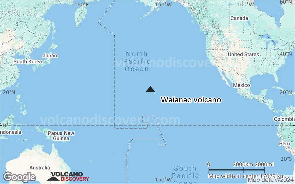
Terrain-type map of Waianae volcano (world scale)

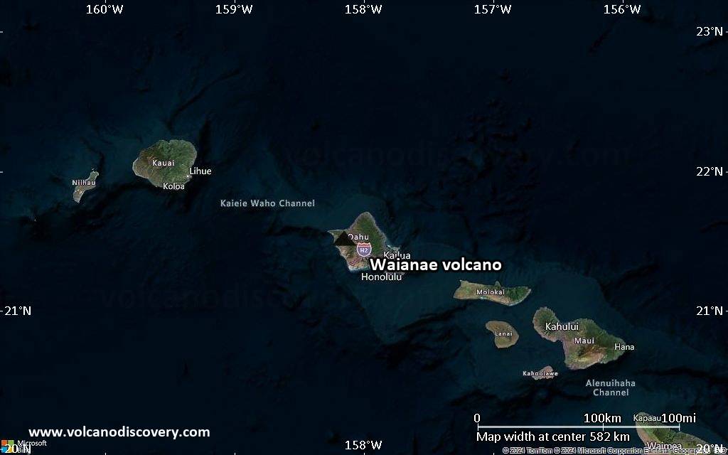
Satellite/aerial-type map of Waianae volcano (region scale large)

Terrain-type map of Waianae volcano (region scale large)

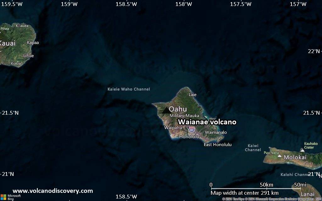
Satellite/aerial-type map of Waianae volcano (region scale medium)

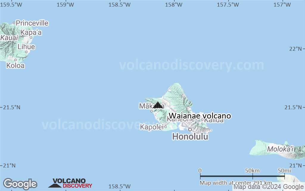
Terrain-type map of Waianae volcano (region scale medium)

Satellite/aerial-type map of Waianae volcano (region scale small)

Terrain-type map of Waianae volcano (region scale small)
Satellite/aerial-type map of Waianae volcano (local scale large)

Terrain-type map of Waianae volcano (local scale large)
Satellite/aerial-type map of Waianae volcano (local scale medium)
Terrain-type map of Waianae volcano (local scale medium)

Satellite/aerial-type map of Waianae volcano (local scale small)

Terrain-type map of Waianae volcano (local scale small)

Satellite/aerial-type map of Waianae volcano (scale of 10s of km)

Terrain-type map of Waianae volcano (scale of 10s of km)

Satellite/aerial-type map of Waianae volcano (scale of 20-40 km)

Terrain-type map of Waianae volcano (scale of 20-40 km)

Satellite/aerial-type map of Waianae volcano (scale of approx. 10-20 km)
Terrain-type map of Waianae volcano (scale of approx. 10-20 km)

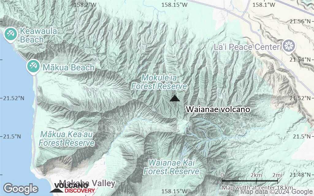
Satellite/aerial-type map of Waianae volcano (scale of 5-10 km)

Satellite/aerial-type map of Waianae volcano (scale of few kilometers)