| RSS | EN | DE | EL | ES | FR | IT | RU

Whangarei Volcano

Updated: Nov 13, 2025 16:17 GMT -
cinder cones
North Island, New Zealand, -35.75°S / 174.27°E
Summit height: 397 m / 1,302 ft
Current status: (probably) extinct (0 out of 5)

Whangarei volcano (named after the nearby town of Whangarei) is a group of cinder cones and lava flows. Their age is not well known, and could be as between less than 10,000 and up to about 30,000 years ago.

[smaller] [larger]
Typical eruption style: effusive
Whangarei volcano eruptions: probably about 30,000 years ago

Latest nearby earthquakes

Date and TimeMag / DepthDistance / Location

Background

from Smithsonian / GVP volcano information:

The Whangarei volcanic field lies in the central part of the Northland Peninsula, at the southernmost end of the Northland Intraplate Province. In addition to the younger dominantly basaltic rocks, Miocene dacitic lava domes and rhyolitic breccias are also present at Whangarei.
Quaternary volcanics form a group of large cones SE of Whangarei, a NE-aligned group of scoria cones north of the city, and a group of lava flows east of the city along a major fault. The youngest basalts were mapped as Holocene (Kear and Thompson, 1964), although the age of the field is not well known and there are some indications that the latest eruption may have been during the late Pleistocene, about 30,000 years ago (Latter 1994, pers. comm.).

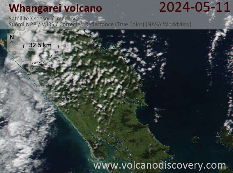
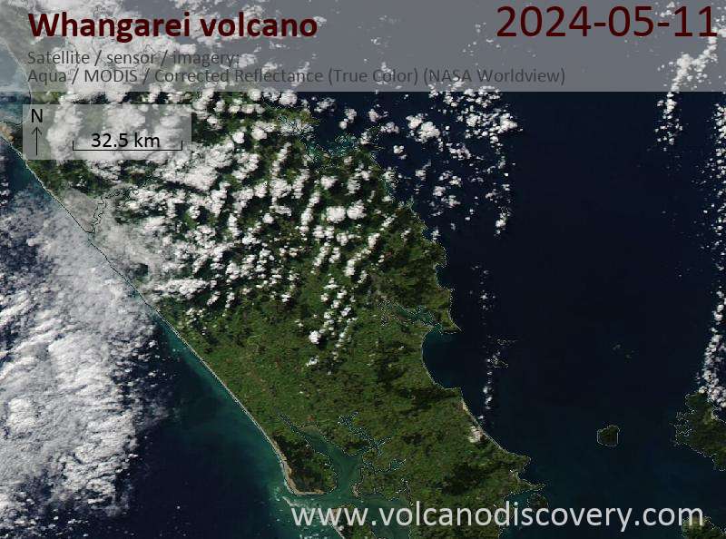
Latest satellite images

Whangarei satellite image sat1Whangarei satellite image sat2

Whangarei Volcano Maps

Below is a selection of maps showing the location and surroundings of the volcano at various resolutions based on aerial-imagery / terrain maps. Feel free to use them for non-commercial purposes on your blog or website as long as you credit them with a link back to this page (click to copy it).
Satellite/aerial-type map of Whangarei volcano (world scale)
Terrain-type map of Whangarei volcano (world scale)
Satellite/aerial-type map of Whangarei volcano (region scale large)
Terrain-type map of Whangarei volcano (region scale large)
Satellite/aerial-type map of Whangarei volcano (region scale medium)
Terrain-type map of Whangarei volcano (region scale medium)
Satellite/aerial-type map of Whangarei volcano (region scale small)
Terrain-type map of Whangarei volcano (region scale small)
Satellite/aerial-type map of Whangarei volcano (local scale large)
Terrain-type map of Whangarei volcano (local scale large)
Satellite/aerial-type map of Whangarei volcano (local scale medium)
Terrain-type map of Whangarei volcano (local scale medium)
Satellite/aerial-type map of Whangarei volcano (local scale small)
Terrain-type map of Whangarei volcano (local scale small)
Satellite/aerial-type map of Whangarei volcano (scale of 10s of km)
Terrain-type map of Whangarei volcano (scale of 10s of km)
Satellite/aerial-type map of Whangarei volcano (scale of 20-40 km)
Terrain-type map of Whangarei volcano (scale of 20-40 km)
Satellite/aerial-type map of Whangarei volcano (scale of approx. 10-20 km)
Terrain-type map of Whangarei volcano (scale of approx. 10-20 km)
Satellite/aerial-type map of Whangarei volcano (scale of 5-10 km)
Satellite/aerial-type map of Whangarei volcano (scale of few kilometers)
Volcanoes & Earthquakes - new app for Android
Guaranteed tours
20 Nov - 3 Dec 2025: Desert, salt and volcanoes - Danakil desert (Ethiopia)
2-10 May 2026: From Stromboli to Etna - Sicily and Eolian Islands (Italy)
= spaces available   = guaranteed   = few spaces left   = booked out

No news in this list.

On this page:

Try our free app!
Volcanoes & Earthquakes - new app for Android
Android | iOS version

More on VolcanoDiscovery

Why is there advertising on this site?

Support Us – Help Us Enhance Our Services!

We’re passionate about delivering the latest volcano and earthquake data from around the globe — just for you. However, maintaining our website and free apps requires significant time, effort, and resources.
Your support helps us expand our hardware and software capabilities and empowers our dedicated editorial team. Our mission is to provide uninterrupted, real-time updates whenever an earthquake strikes or a volcano erupts — and your donations make this possible. Every contribution, big or small, is deeply appreciated. If you find our information valuable and want to help us add new features, create compelling content, and improve our technology, please consider making a donation:

Donate with PayPal:

Planned Features:

Thanks to your past donations, we have recently added:
Download the Volcanoes & Earthquakes app to stay among the first to receive the fastest seismic and volcano alerts online:
Android | iOS
Thank you for being part of our mission!
Sources: VolcanoDiscovery / VolcanoAdventures and other sources as noted.
Use of material: Most text and images on our websites are owned by us. Re-use is generally not permitted without authorization. Contact us for licensing rights.
Volcanoes & Earthquakes
VolcanoDiscovery Home
Volcanoes | Earthquakes | Photos | Volcano News | | Shop | App
Adventure & Study Travel
Tours to Volcanoes and Volcanic Areas: walking tours, photo tours, study tours
Tours & Dates | FAQ | About us
Get our newsletter!
Company info
Contact | Legal info | Terms & conditions
Follow us
Follow us on facebook Follow us on Instagram Follow us on Bluesky Follow us on Twitter Visit our Youtube channel
EN | DE | EL | ES | FR | IT | RU
VolcanoDiscovery GmbH, Germany, Reg. nr.: HRB 103744, EU Tax Id: DE 297 465 123 owned and created by
Dr. Tom Pfeiffer, volcanologist, volcano photographer, tour organizer member of
IAVCEI
IAVCEI
Vulkanologische Gesellschaft
Volcanological Society
Ecotourism Greece
Ecotourism Greece
RUV insurance
Insured by R+V
VolcanoDiscovery © 2004- All Rights Reserved | Privacy - Cookie Settings