Wolf Volcano
Updated: Apr 27, 2024 16:59 GMT -
Shield volcano 1710 m / 5,610 ft
Galápagos Islands, Ecuador, 0.02°N / -91.35°W
Current status: normal or dormant (1 out of 5)
Galápagos Islands, Ecuador, 0.02°N / -91.35°W
Current status: normal or dormant (1 out of 5)
Last update: 2 Jun 2022 (Smithsonian / USGS Weekly Volcanic Activity Report)
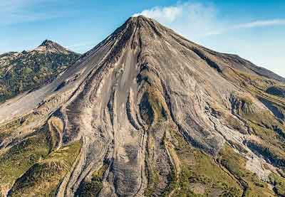
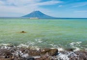
Volcán Wolf, straddling the equator on the northern end of Isabela Island is the highest volcano of the Galápagos archipelago. The 1710-m-high volcano has steeper slopes than most other Isabela volcanoes, reaching angles up to 35 degrees.
[smaller] [larger]
Wolf volcano eruptions: 2022, 2015, 1982, 1797
Latest nearby earthquakes
| Time | Mag. / Depth | Distance / Location | |||
Background
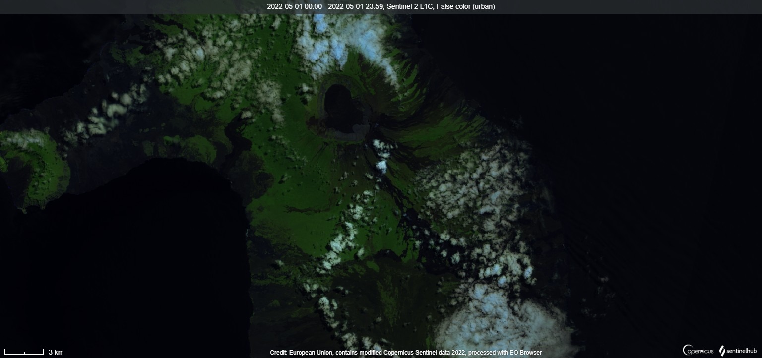
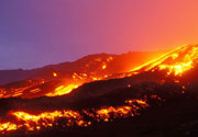
A 6 x 7 km caldera, at 700 m one of the deepest of the Galápagos Islands, is located at the volcano's summit. A prominent bench on the west side of the caldera rises 450 above the caldera floor, much of which is covered by a lava flow erupted in 1982.Radial fissures concentrated along diffuse rift zones extend down the north, NW, and SE flanks, and submarine vents lie beyond the north and NW fissures. Similar unvegetated flows originating from a circumferential chain of spatter and scoria cones on the eastern caldera rim drape the forested flanks of the volcano to the sea. The proportion of aa lava flows at Volcán Wolf exceeds that of other Galápagos volcanoes. Wolf's 1797 eruption was the first documented historical eruption in the Galápagos Islands.
---
Smithsonian / GVP volcano information
Wolf Volcano Photos
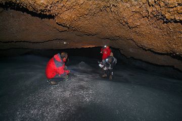
Rosario helps Wolfgang... (Photo: Marco Fulle)
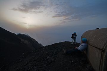
Leslie and Wolfgang wait for the next eruption (Photo: Marco Fulle)

Wolfang, Sabine and Annet find very interesting the dykes of Valle del Bove (Photo: Marco Fulle)


