


Yasur Volcano
Updated: Jun 15, 2025 07:05 GMT -
stratovolcano
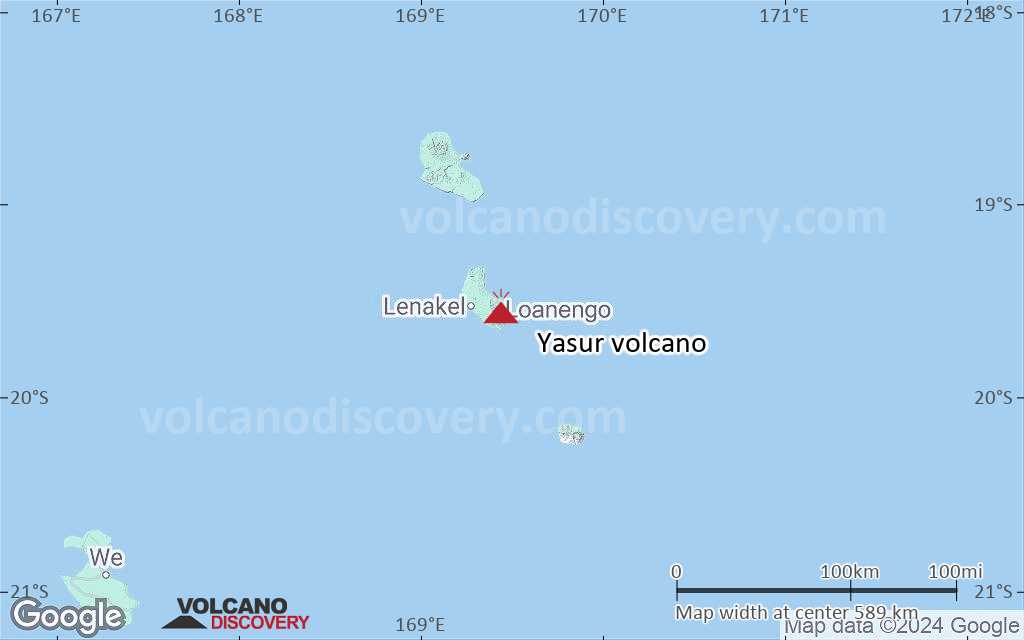
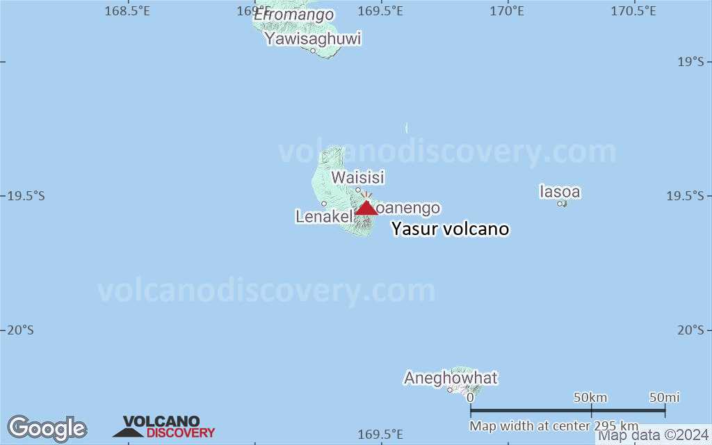
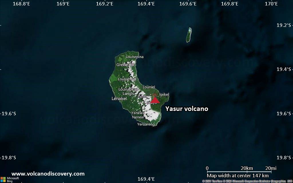
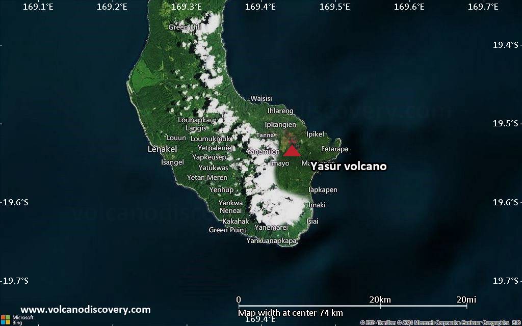
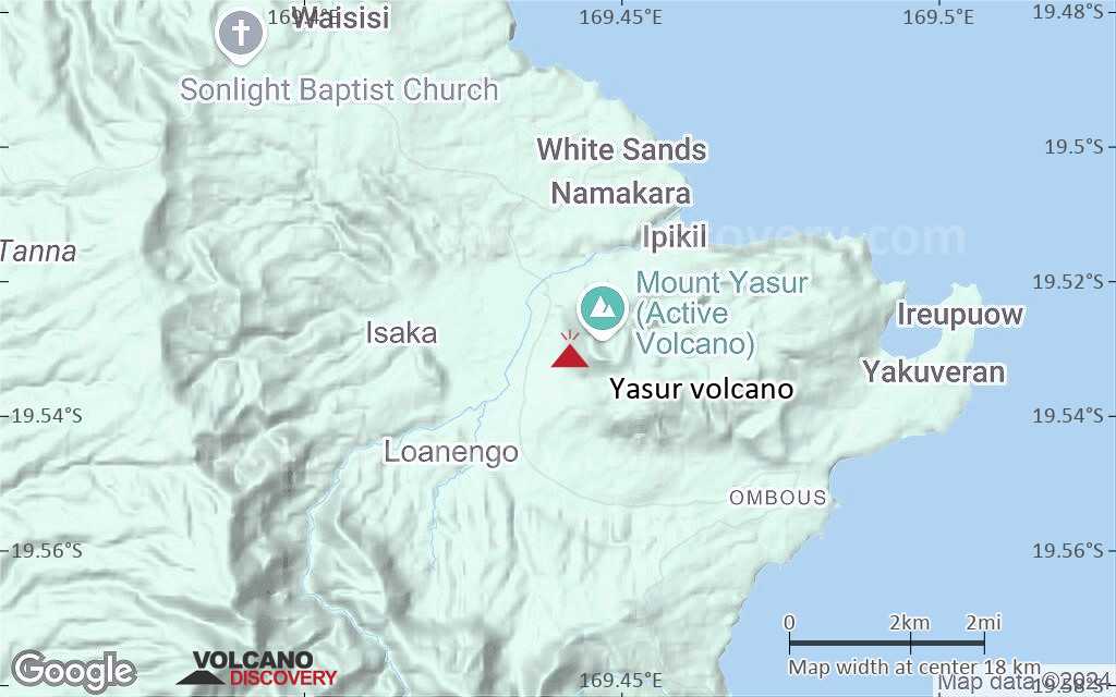
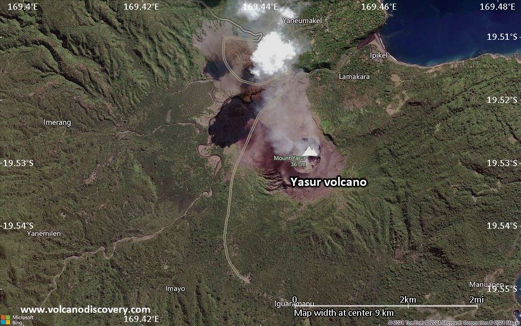
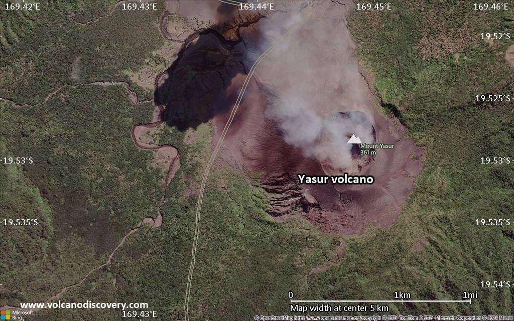
Tanna Island, Vanuatu, -19.53°S / 169.44°E 
Summit height: 361 m (1,184 ft)
Current status: erupting (4 out of 5)
Last update: 4 Jun 2025 (Smithsonian / USGS Weekly Volcanic Activity Report)
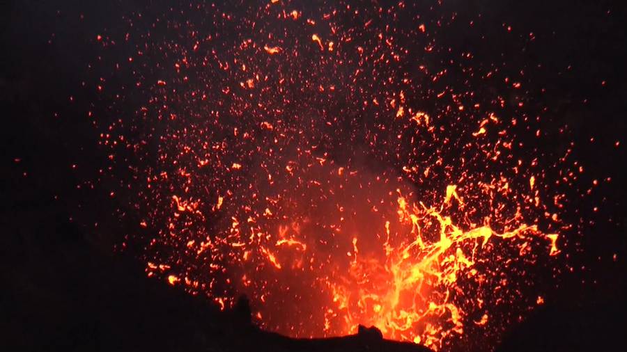
Strombolian activity at Yasur volcano
Yasur is the most well known volcanoes of Vanuatu and one of the most active volcanoes in the world. Yasur is known for its spectacular persistent strombolian activity that consists of regular small to violent explosions from one or several vents.
[smaller] [larger]
Yasur volcano eruptions: ongoing since at least AD 1774 (but likely many centuries before)
Latest nearby earthquakes
| Date and Time | Mag / Depth | Distance / Location | |||
|---|---|---|---|---|---|
| Jun 5, 08:55 pm (GMT +11) | 3? 26 km | 8.2 km (5.1 mi) to the NE | Info | ||
Background
Yasur, the best-known and most frequently visited of the Vanuatu volcanoes, has been in more-or-less continuous strombolian and vulcanian activity since Captain Cook observed ash eruptions in 1774. This style of activity may have continued for the past 800 years. Yasur, located at the SE tip of Tanna Island, is a mostly unvegetated 361-m-high pyroclastic cone with a nearly circular, 400-m-wide summit crater. Yasur is largely contained within the small Yenkahe caldera and is the youngest of a group of Holocene volcanic centers constructed over the down-dropped NE flank of the Pleistocene Tukosmeru volcano. The Yenkahe horst is located within the Siwi ring fracture, a 4-km-wide, horseshoe-shaped caldera associated with eruption of the andesitic Siwi pyroclastic sequence. Active tectonism along the Yenkahe horst accompanying eruptions of Yasur has raised Port Resolution harbor more than 20 m during the past century.(source: Global Volcansim Project)
Yasur Volcano Photos
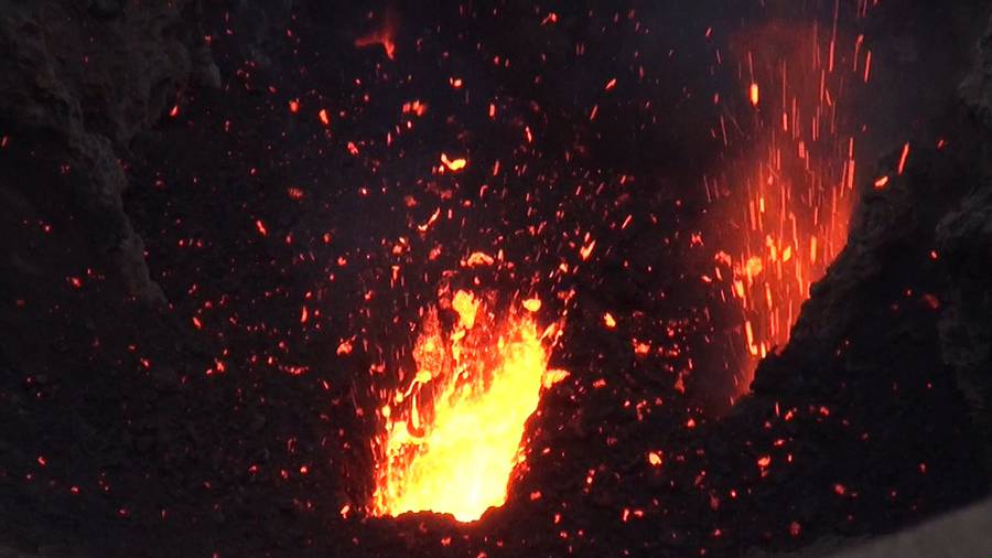
Exploding lava bubble at an active vent in the crater of Yasur volcano, Vanuatu (Sep 2014) (Photo: Walter Reis)
Crater rim of Yasur volcano, Vanuatu (Sep 2014) (Photo: Walter Reis)
Eruption at Yasur volcano, Vanuatu (Sep 2014) (Photo: Walter Reis)
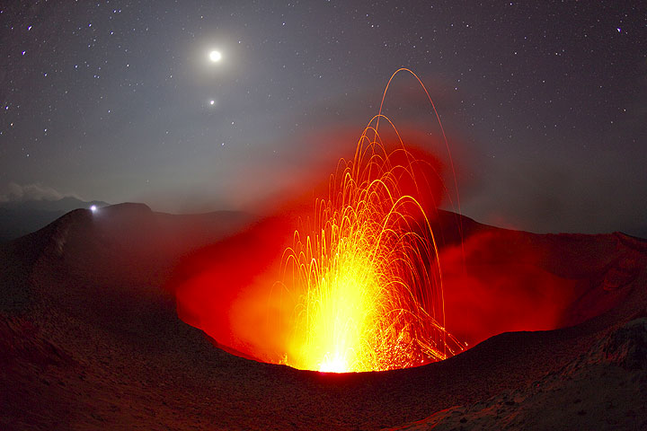
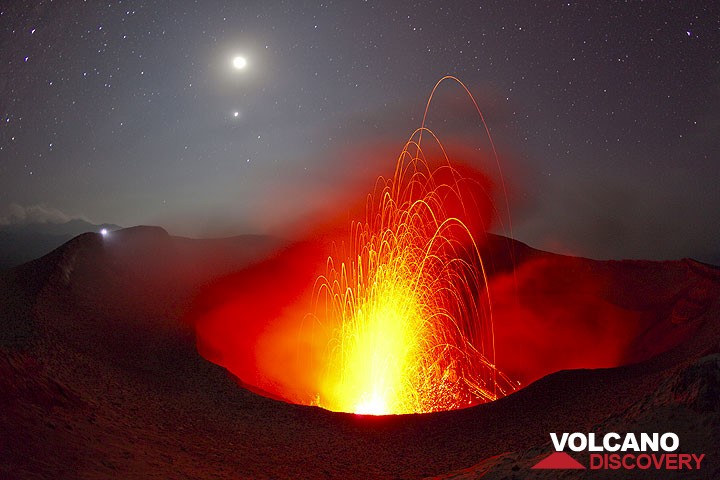
The erupting crater of Yasur volcano under a moon- and starlit sky. The torch of a distant observer on the opposite rim looks like a second moon. (Photo: Tom Pfeiffer)
Significant volcanic eruptions: Yasur volcano
No historic eruptions are known from Yasur volcano, but evidence from at least 5 eruptions during the past 10,000 years can be found in the geological record.
The table below lists all known eruptions (date in bold face) of Yasur volcano in historic times and during the past 10,000 years. Updates on the most recent volcanic activity of Yasur can be found on the news page of Yasur volcano.
| Date | Note | VEI | Deaths | Damage | |
|---|---|---|---|---|---|
| 3 | |||||
| 1995 Feb 4 (eruptive episode | Historical obs./docs. | 3 | 2 | Info | |
| 1994 Jan 15 (eruptive episode | Historical obs./docs. | 3 | 1 | Info | |
| 1878 Feb 11 (eruptive episode | Tsunami recorded Historical obs./docs. | 0 | Info | ||
| 1878 Jan 10 (eruptive episode | Tsunami recorded Historical obs./docs. | 3 | light | Info | |
| 1863 Aug 17 (eruptive episode | Tsunami recorded Historical obs./docs. | 0 | 100-1,000 (*) | Info | |
| ? | |||||
| 2 | |||||
| ? | |||||
| ? | |||||
(*) Estimated numbers
Remark:
Our list of volcanic eruptions closely follows the database of eruptions of the Smithsonian's Global Volcanism Project (GVP), the internationally most recognized data source for volcanic eruptions, but also includes significant eruptive episodes or related volcano events. "Volcanic eruptions" are usually to be understood as sequences of individual eruptive episodes that can follow each other, or even overlap (if several vents are involved), and can last many years, decades or even longer. For example, the current activity of Stromboli volcano is understood as a single eruption that has been ongoing since 1934.
Sources: NOAA National Centers for Environmental Information (NCEI), Global Significant Volcanic Eruptions Database. doi:10.7289/V5TD9V7K | Global Volcanism Project / Smithsonian Institution
Yasur Volcano FAQ
+When was the last eruption of Yasur volcano?
The last confirmed eruption of Yasur began around 1270 AD and is continuing (as of June 2025).
+When was the largest eruption of Yasur volcano?
The largest eruption known from the younger geological history of Yasur volcano occurred in 1150 AD. It only has a VEI (Volcanic Explosivity Index) of , likely because it was a mainly effusive eruption generating lava flows but very little ash.
Latest satellite images
Yasur Volcano Tours
15-day volcano and photo expedition to Ambrym and Yasur volcanoes, Vanuatu
15 days / 14 nights - Moderate
Price 5900 €
Price 5900 €
4-18 Jul 2026
Yasur Volcano Maps
Below is a selection of maps showing the location and surroundings of the volcano at various resolutions based on aerial-imagery / terrain maps. Feel free to use them for non-commercial purposes on your blog or website as long as you credit them with a link back to this page (click to copy it).
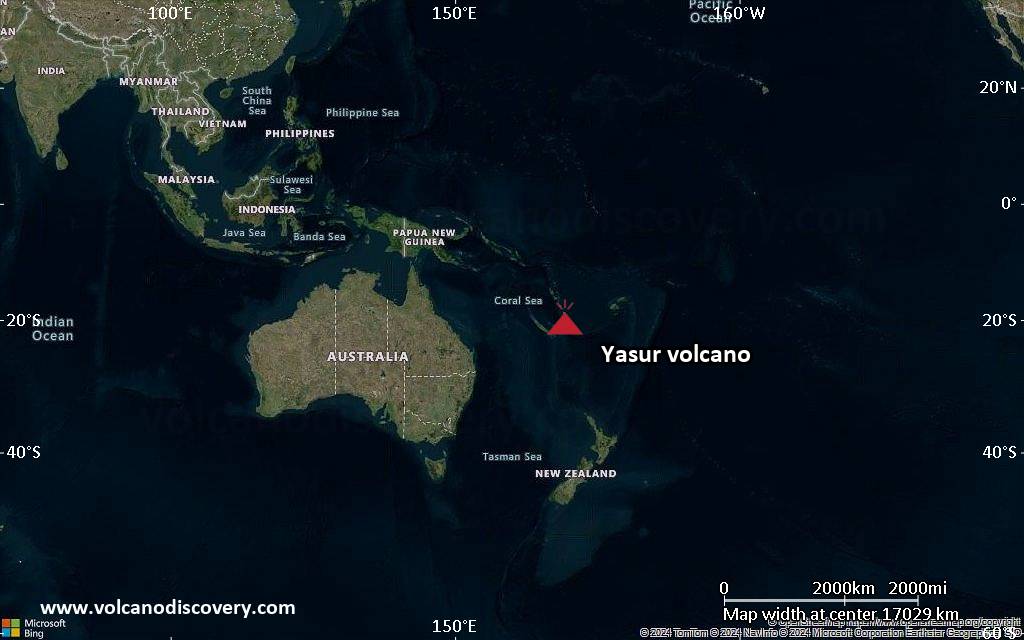
Satellite/aerial-type map of Yasur volcano (world scale)
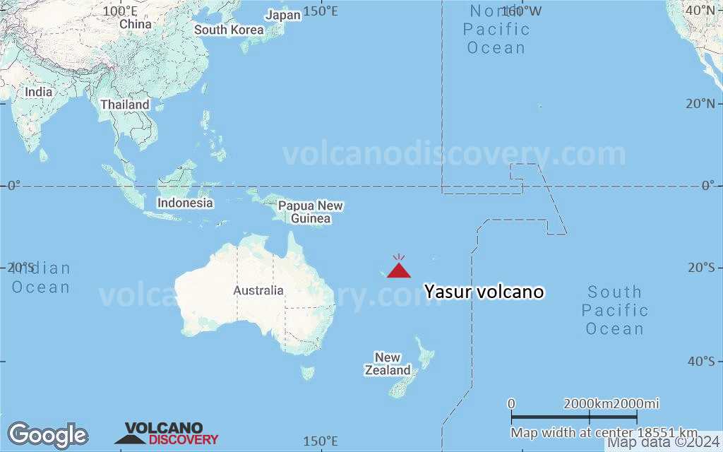
Terrain-type map of Yasur volcano (world scale)
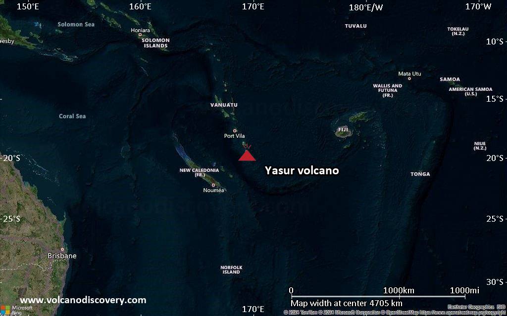
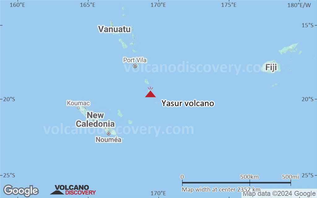
Satellite/aerial-type map of Yasur volcano (region scale large)
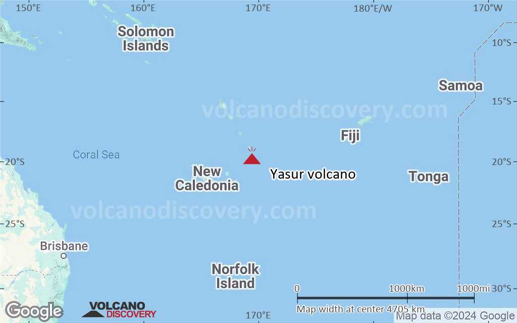
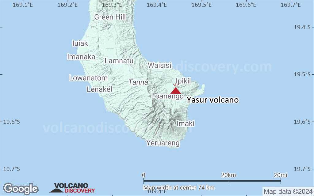
Terrain-type map of Yasur volcano (region scale large)
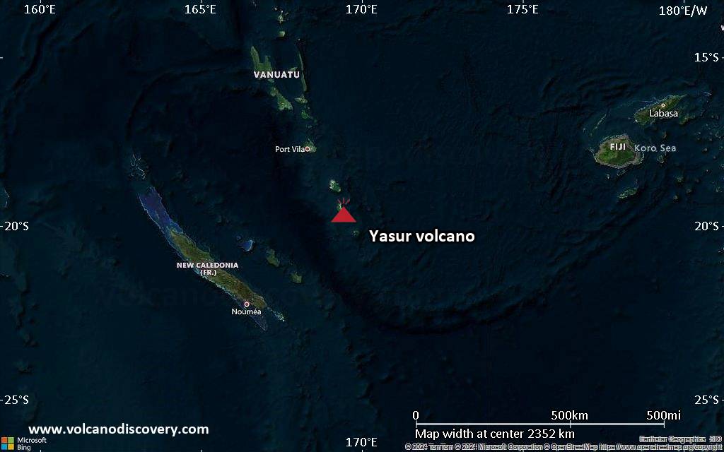
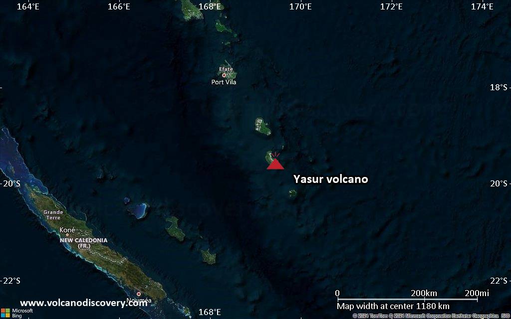
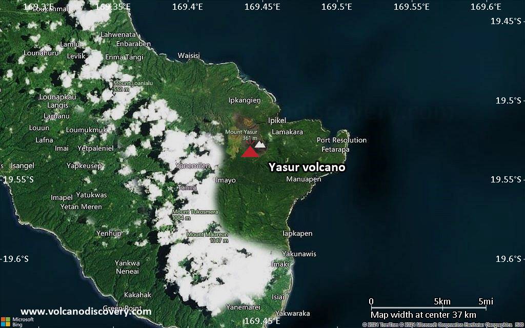
Satellite/aerial-type map of Yasur volcano (region scale medium)
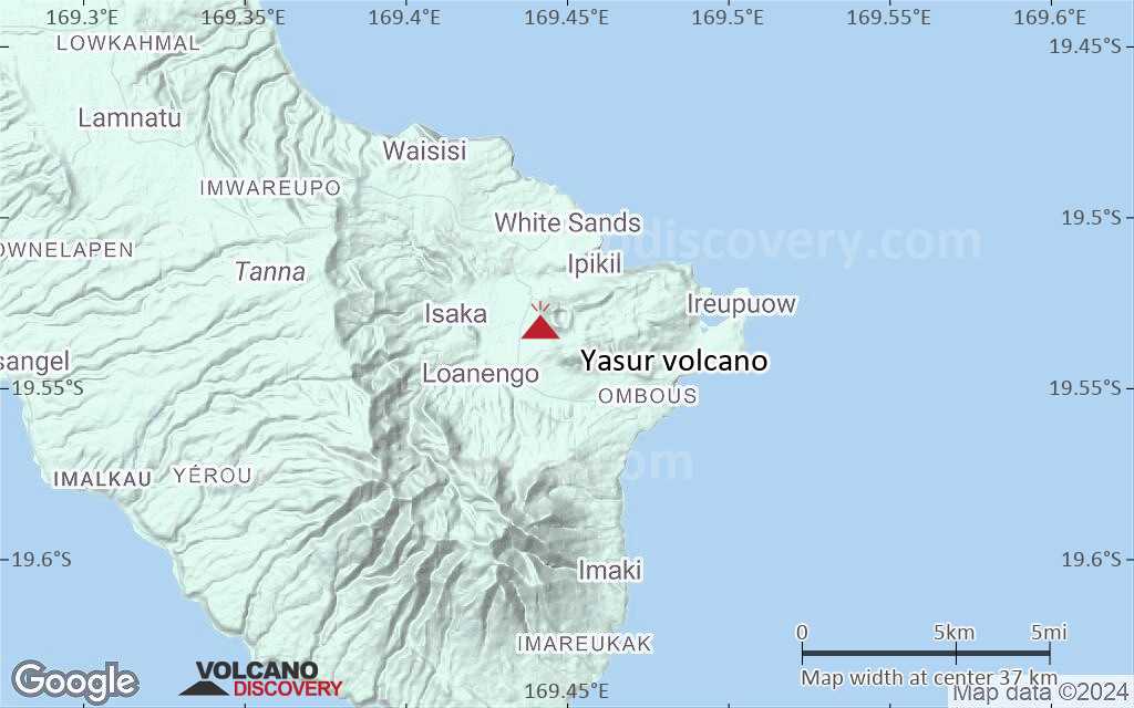
Terrain-type map of Yasur volcano (region scale medium)
Satellite/aerial-type map of Yasur volcano (region scale small)
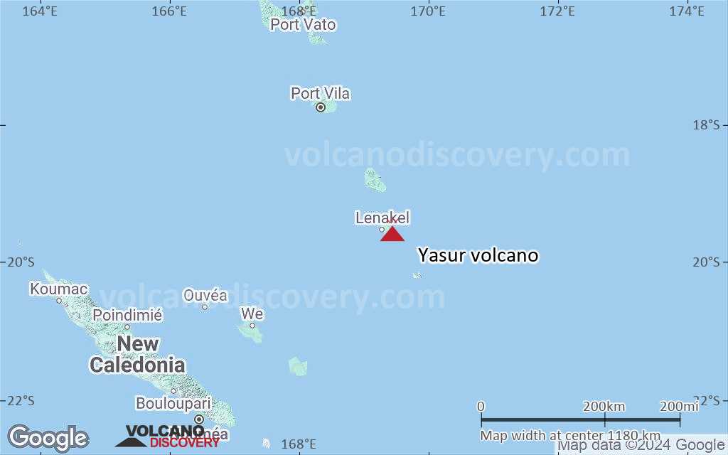
Terrain-type map of Yasur volcano (region scale small)
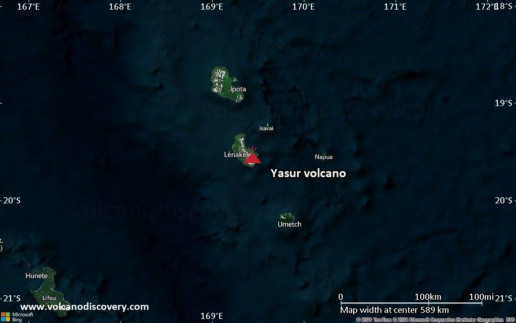
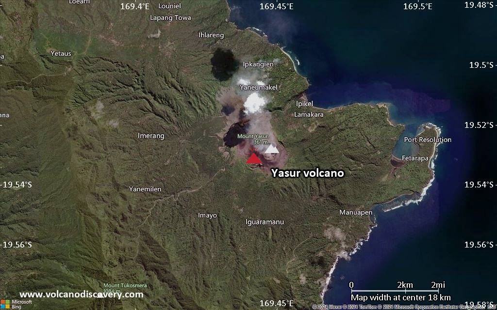
Satellite/aerial-type map of Yasur volcano (local scale large)
Terrain-type map of Yasur volcano (local scale large)

Satellite/aerial-type map of Yasur volcano (local scale medium)
Terrain-type map of Yasur volcano (local scale medium)
Satellite/aerial-type map of Yasur volcano (local scale small)

Terrain-type map of Yasur volcano (local scale small)
Satellite/aerial-type map of Yasur volcano (scale of 10s of km)
Terrain-type map of Yasur volcano (scale of 10s of km)
Satellite/aerial-type map of Yasur volcano (scale of 20-40 km)
Terrain-type map of Yasur volcano (scale of 20-40 km)
Satellite/aerial-type map of Yasur volcano (scale of approx. 10-20 km)
Terrain-type map of Yasur volcano (scale of approx. 10-20 km)
Satellite/aerial-type map of Yasur volcano (scale of 5-10 km)
Satellite/aerial-type map of Yasur volcano (scale of few kilometers)


