Zimina Volcano
Updated: Aug 4, 2025 23:41 GMT -
Stratovolcanoes
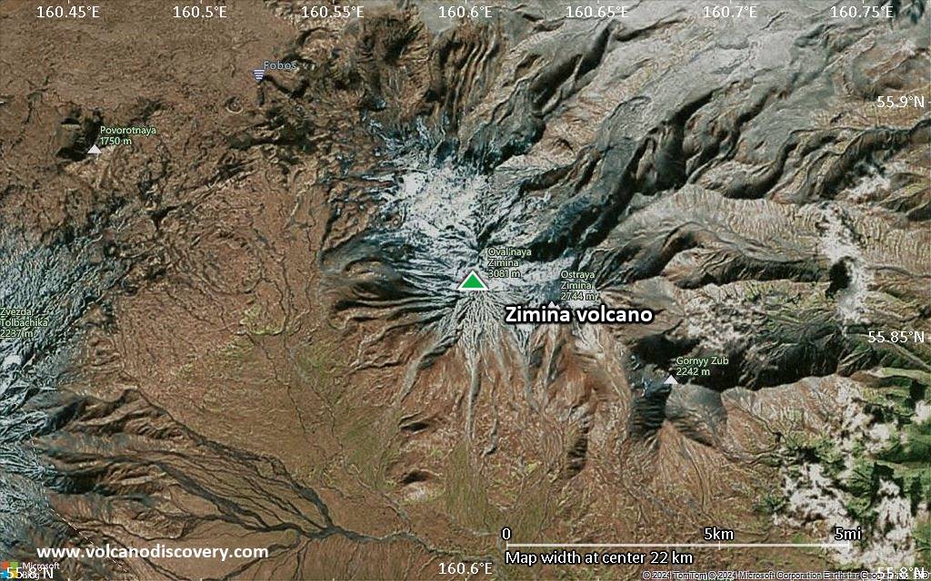
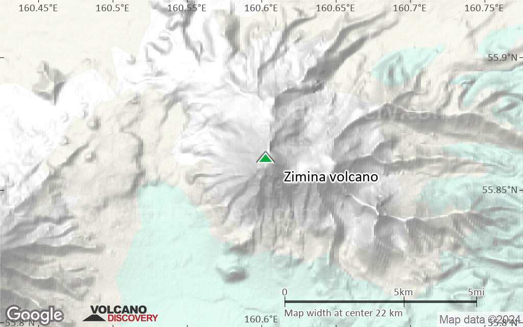
Kamchatka, Russia, 55.86°N / 160.6°E 
Summit height: 3081 m / 10,108 ft
Current status: normal or dormant (1 out of 5)
[smaller] [larger]
Zimina volcano eruptions: unknown, no recent eruptions
Latest nearby earthquakes
| Date and Time | Mag / Depth | Distance / Location | |||
|---|---|---|---|---|---|
| Aug 3, 09:37 pm (Kamchatka) | 3.1 1.3 km | 17 km (10.9 mi) to the S | Info | ||
| Friday, July 25, 2025 GMT (3 quakes) | |||||
| Jul 26, 09:04 am (Kamchatka) | 2.5 1.1 km | 19 km (12 mi) to the S | Info | ||
| Jul 26, 12:18 am (Kamchatka) | 3.9 284 km | 28 km (18 mi) to the NW | Info | ||
| Jul 25, 08:10 pm (Kamchatka) | 2.3 1.5 km | 16 km (9.6 mi) to the N | Info | ||
| Thursday, July 24, 2025 GMT (1 quake) | |||||
| Jul 24, 12:32 pm (Kamchatka) | 2.2 1 km | 19 km (12 mi) to the S | Info | ||
| Wednesday, July 23, 2025 GMT (5 quakes) | |||||
| Jul 24, 11:38 am (Kamchatka) | 1.6 0.9 km | 17 km (10.7 mi) to the S | Info | ||
| Jul 24, 11:02 am (Kamchatka) | 2.5 1 km | 19 km (12 mi) to the S | Info | ||
| Jul 24, 05:35 am (Kamchatka) | 2.9 1.1 km | 20 km (12 mi) to the S | Info | ||
| Jul 24, 05:19 am (Kamchatka) | 3.7 0.8 km | 19 km (12 mi) to the S | Info | ||
Background
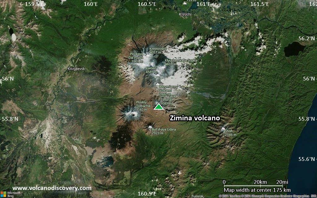
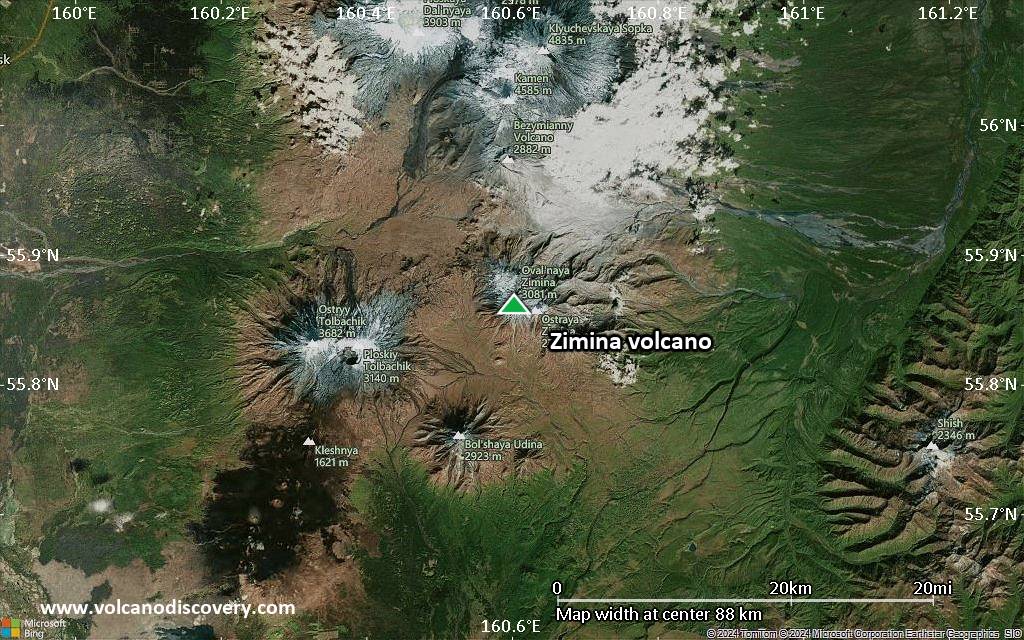
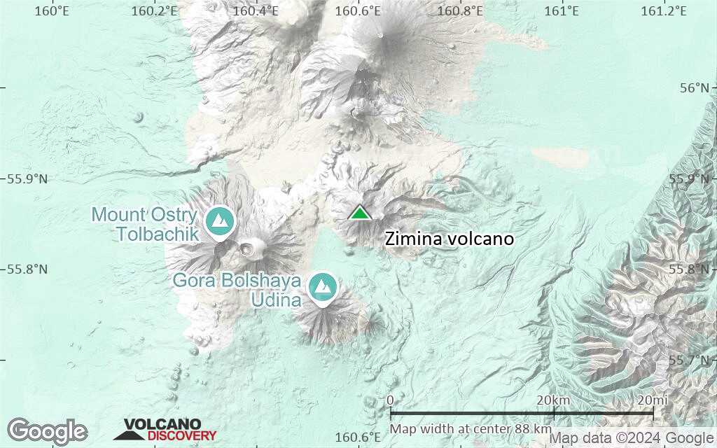
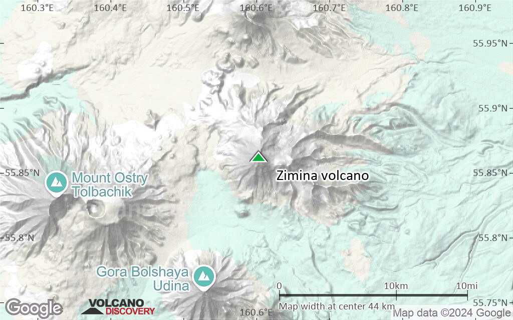
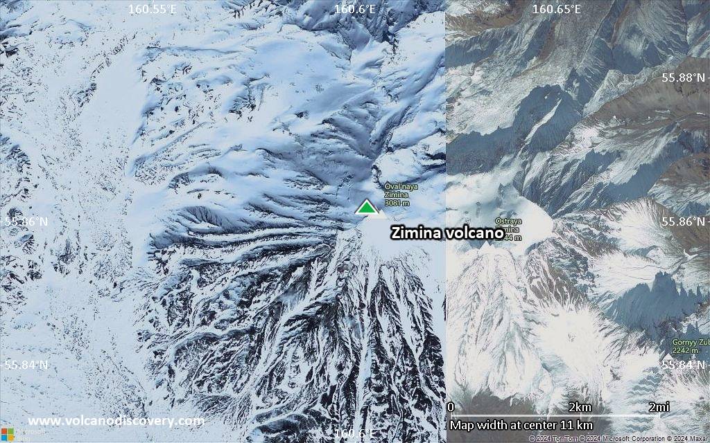
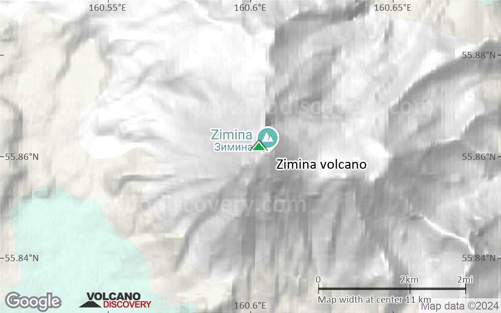
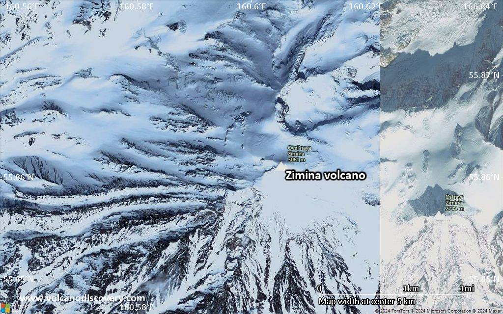
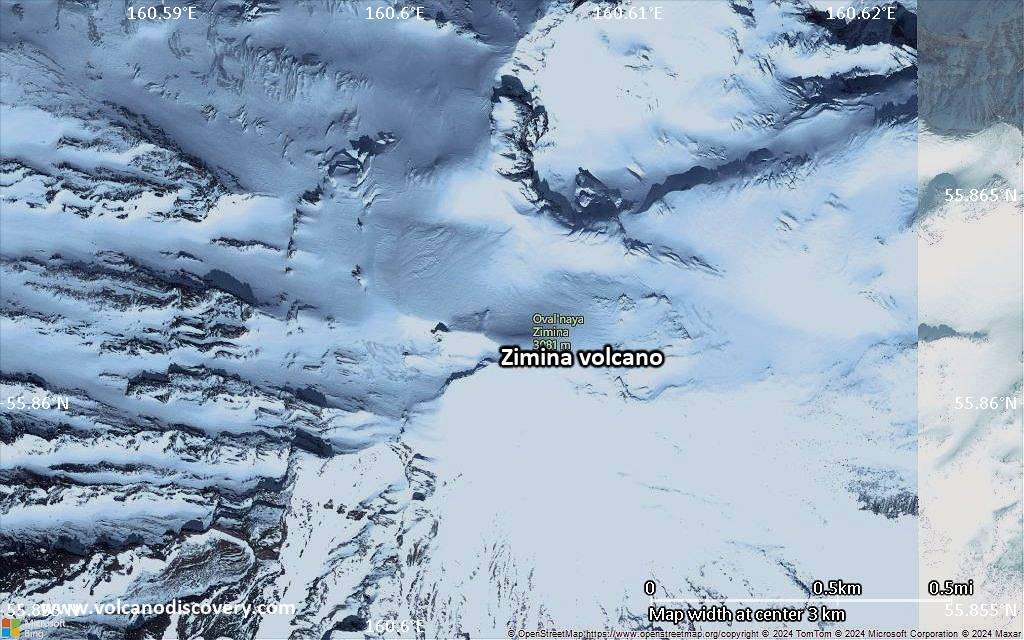
The eroded twin stratovolcanoes of Ostraya and Ovalnaya Zimina form a NW-SE-trending ridge north of the Udina complex at the SE end of the Kliuchevskaya volcano group. The larger 3081-m-high Ovalnaya Zimina, at the NW end of the complex, is capped by a large icecap and contains two summits. The extensively eroded Ostraya Zimina to the SE has a sharp-peaked summit spire. A large debris avalanche from Ovalnaya Zimina traveled more than 10 km. No historical eruptions have occurred from the Zimina volcanoes.---
Smithsonian / GVP volcano information
Zimina Volcano Photos
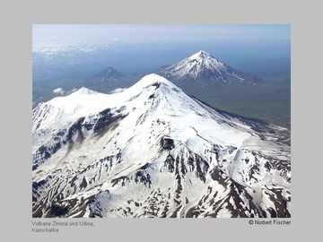
Zimina (foreground) and Udina volcanoes (Kamchatka) (Photo: Norbert Fischer)
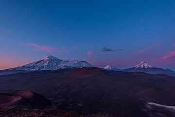
Blue hour starts to set over the majestic range of volcanoes (Tolbachik, Zimina and Udina) (Photo: Tom Pfeiffer)
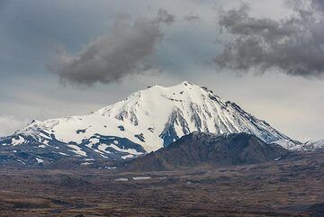
Looking west, Zimina volcano seems small compared to Tolbachik. (Photo: Tom Pfeiffer)
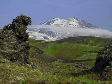
Glacier Spring Valley with Ovalnaya-Zimina volcano in the background (Photo: Anastasia)
Latest satellite images
Zimina Volcano Maps
Below is a selection of maps showing the location and surroundings of the volcano at various resolutions based on aerial-imagery / terrain maps. Feel free to use them for non-commercial purposes on your blog or website as long as you credit them with a link back to this page (click to copy it).
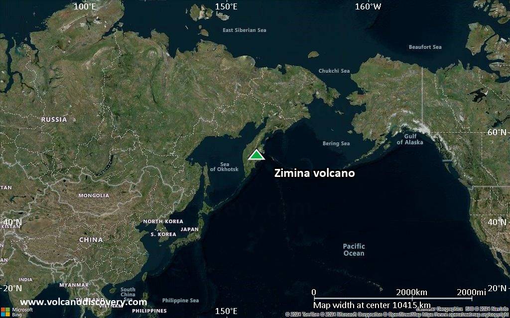
Satellite/aerial-type map of Zimina volcano (world scale)
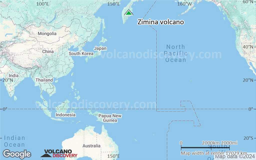
Terrain-type map of Zimina volcano (world scale)
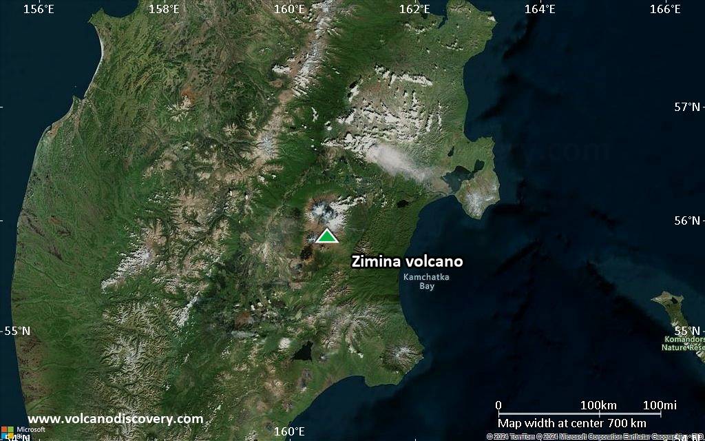
Satellite/aerial-type map of Zimina volcano (region scale large)

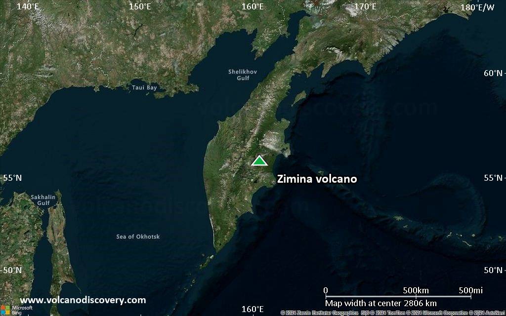
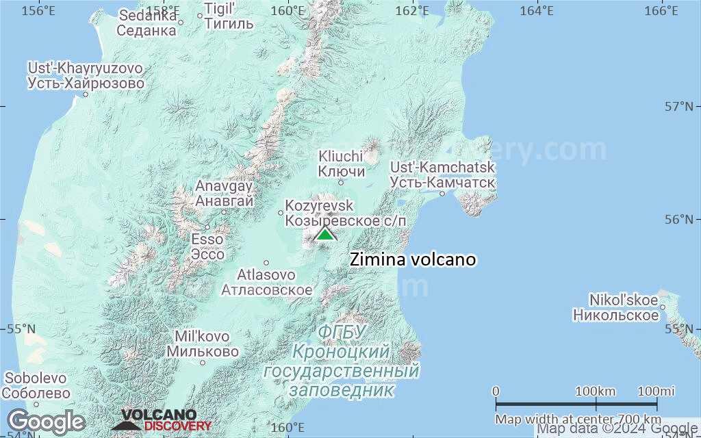
Terrain-type map of Zimina volcano (region scale large)
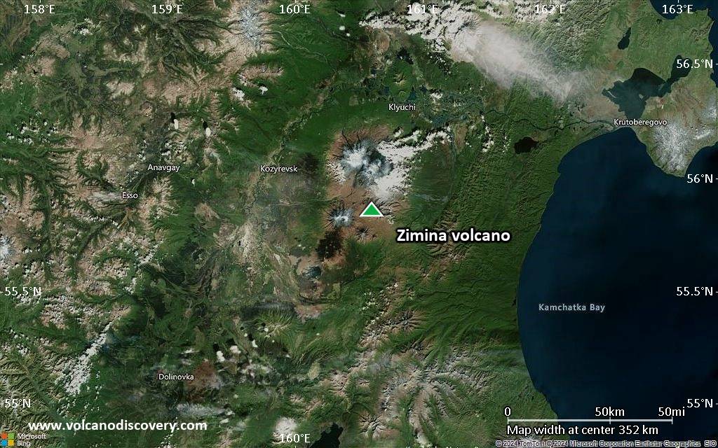
Satellite/aerial-type map of Zimina volcano (region scale medium)
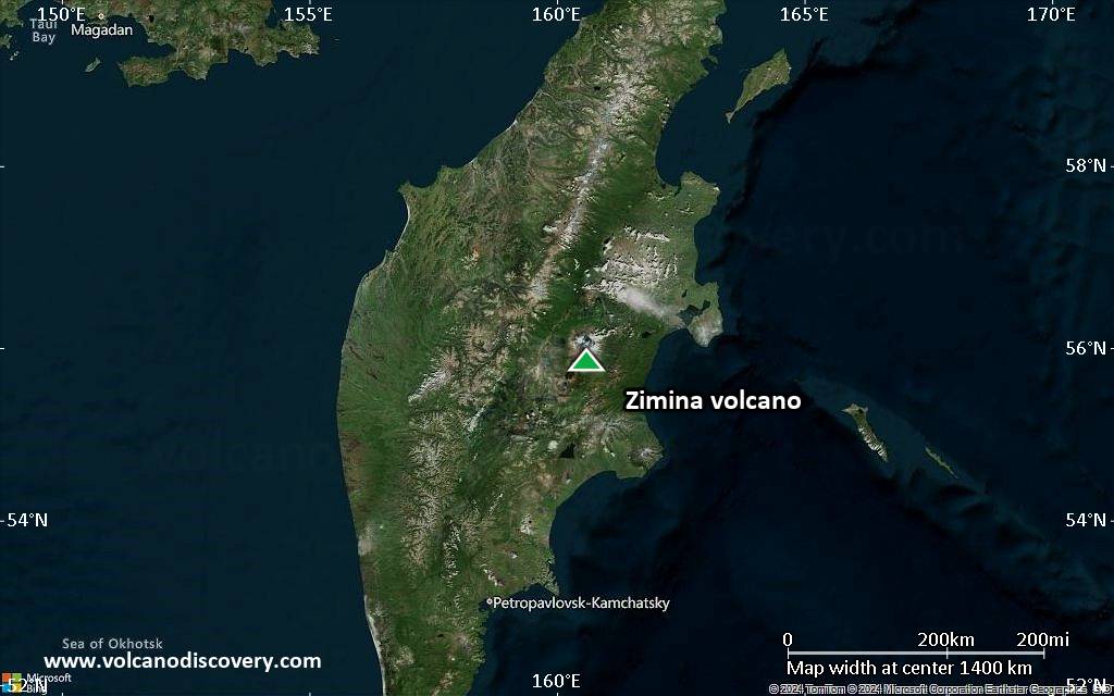
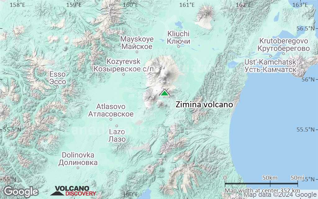
Terrain-type map of Zimina volcano (region scale medium)
Satellite/aerial-type map of Zimina volcano (region scale small)
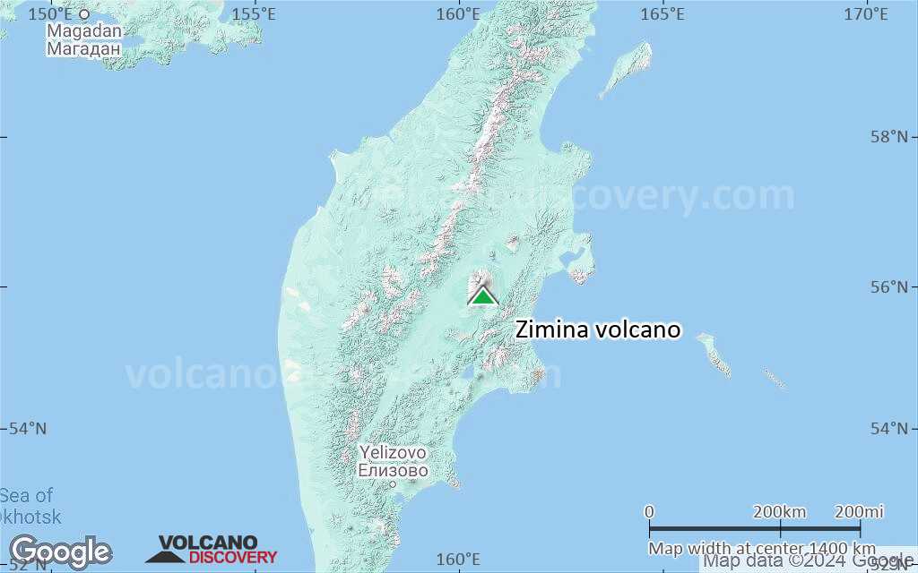
Terrain-type map of Zimina volcano (region scale small)
Satellite/aerial-type map of Zimina volcano (local scale large)
Terrain-type map of Zimina volcano (local scale large)
Satellite/aerial-type map of Zimina volcano (local scale medium)

Terrain-type map of Zimina volcano (local scale medium)
Satellite/aerial-type map of Zimina volcano (local scale small)
Terrain-type map of Zimina volcano (local scale small)

Satellite/aerial-type map of Zimina volcano (scale of 10s of km)
Terrain-type map of Zimina volcano (scale of 10s of km)
Satellite/aerial-type map of Zimina volcano (scale of 20-40 km)
Terrain-type map of Zimina volcano (scale of 20-40 km)
Satellite/aerial-type map of Zimina volcano (scale of approx. 10-20 km)
Terrain-type map of Zimina volcano (scale of approx. 10-20 km)
Satellite/aerial-type map of Zimina volcano (scale of 5-10 km)
Satellite/aerial-type map of Zimina volcano (scale of few kilometers)