


Akyarlar Volcano
Updated: Nov 14, 2025 18:36 GMT -
lava domes
Turkey, 36.98°N / 27.31°E 
Summit height: 172 m
Current status: normal or dormant (1 out of 5)
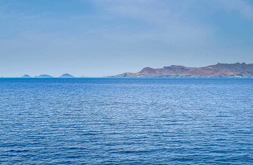
Volcanic cones and domes of Akyarlar volcanic field on the Bodrum peninsula of southwestern Turkey seen from Kos Island, Greece.
The Bodrum & Akyarlar volcanics belong to the area of the active Cos volcanic complex and are the most western volcanics of Turkey.
[smaller] [larger]
Akyarlar volcano eruptions: none in historic times
Latest nearby earthquakes
| Date and Time | Mag / Depth | Distance / Location | |||
|---|---|---|---|---|---|
| Nov 13, 04:49 am (Istanbul) | 1.8 6.9 km | 16 km (10.1 mi) to the E | Info | ||
| Saturday, November 8, 2025 GMT (2 quakes) | |||||
| Nov 8, 06:37 pm (Athens) | 1.6 12 km | 13 km (7.8 mi) to the SW | Info | ||
| Nov 8, 03:58 pm (Istanbul) | 2.1 10 km | 8.8 km (5.5 mi) to the SW | Info | ||
| Thursday, November 6, 2025 GMT (1 quake) | |||||
| Nov 6, 03:25 pm (Istanbul) | 1.6 7.1 km | 1.1 km (0.7 mi) to the E | Info | ||
| Tuesday, October 28, 2025 GMT (1 quake) | |||||
| Oct 28, 03:19 am (Athens) | 3.8 10 km | 29 km (18 mi) to the SW | Info | ||
| Tuesday, October 21, 2025 GMT (1 quake) | |||||
| Oct 21, 04:14 am (Athens) | 2.0 7.5 km | 16 km (10 mi) to the SW | Info | ||
| Saturday, October 18, 2025 GMT (1 quake) | |||||
| Oct 18, 07:45 pm (Istanbul) | 1.5 7 km | 7.1 km (4.4 mi) to the E | Info | ||
Background
The peninsula of Bodrum and Akyarlar is dominated by old dacitic andesitic lava extrusions and lava domes. Their age is probably Pleistocene and the first eruptions took place +- 2-3 mil. years ago.Latest satellite images
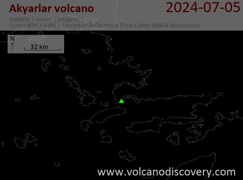

Akyarlar Volcano Maps
Below is a selection of maps showing the location and surroundings of the volcano at various resolutions based on aerial-imagery / terrain maps. Feel free to use them for non-commercial purposes on your blog or website as long as you credit them with a link back to this page (click to copy it).
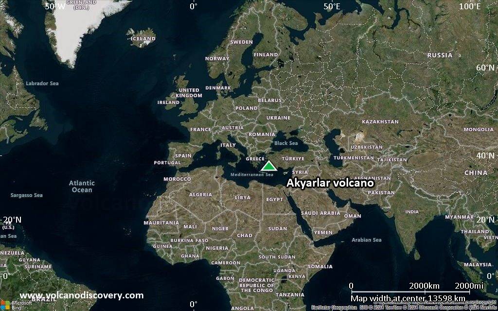
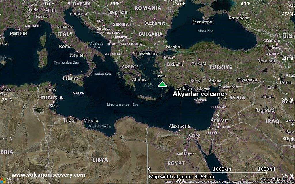
Satellite/aerial-type map of Akyarlar volcano (world scale)
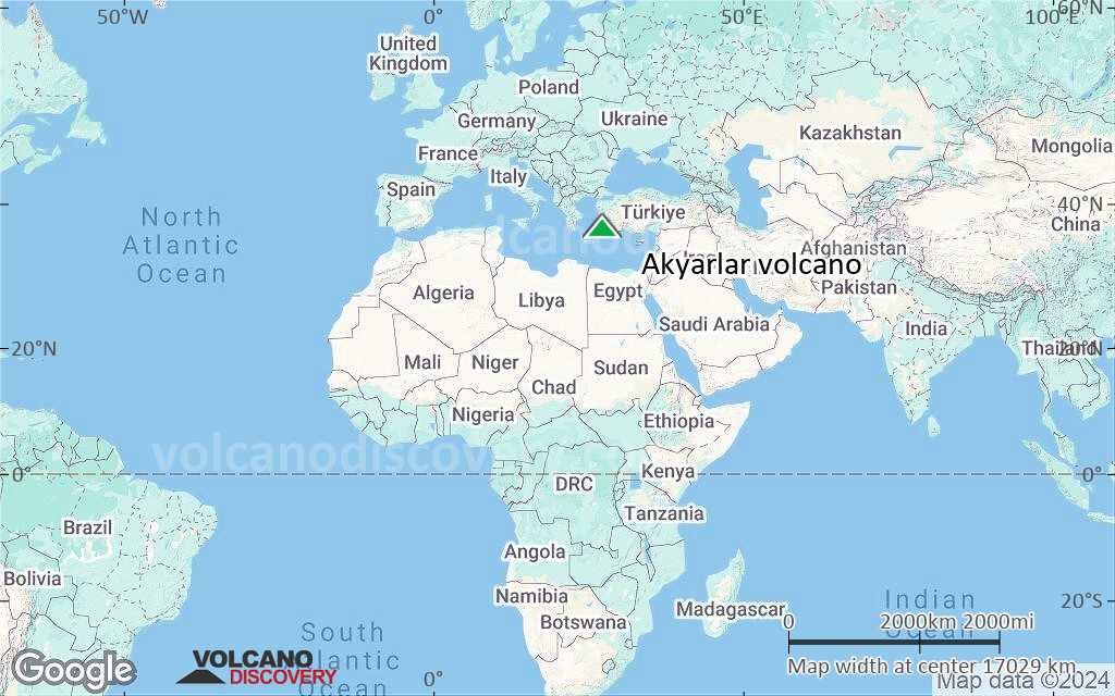
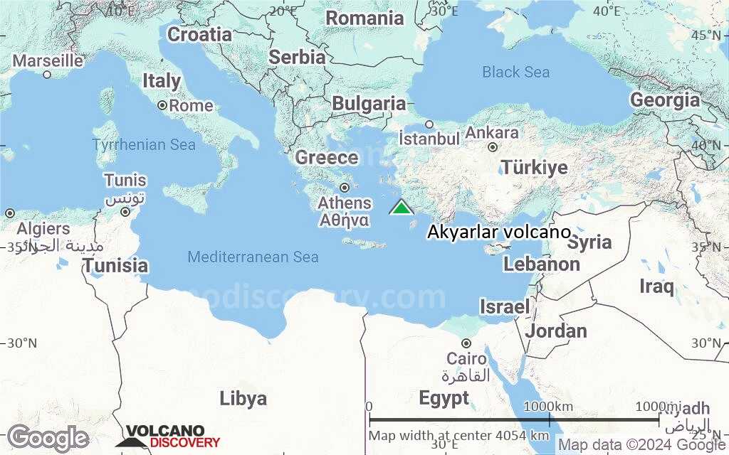
Terrain-type map of Akyarlar volcano (world scale)
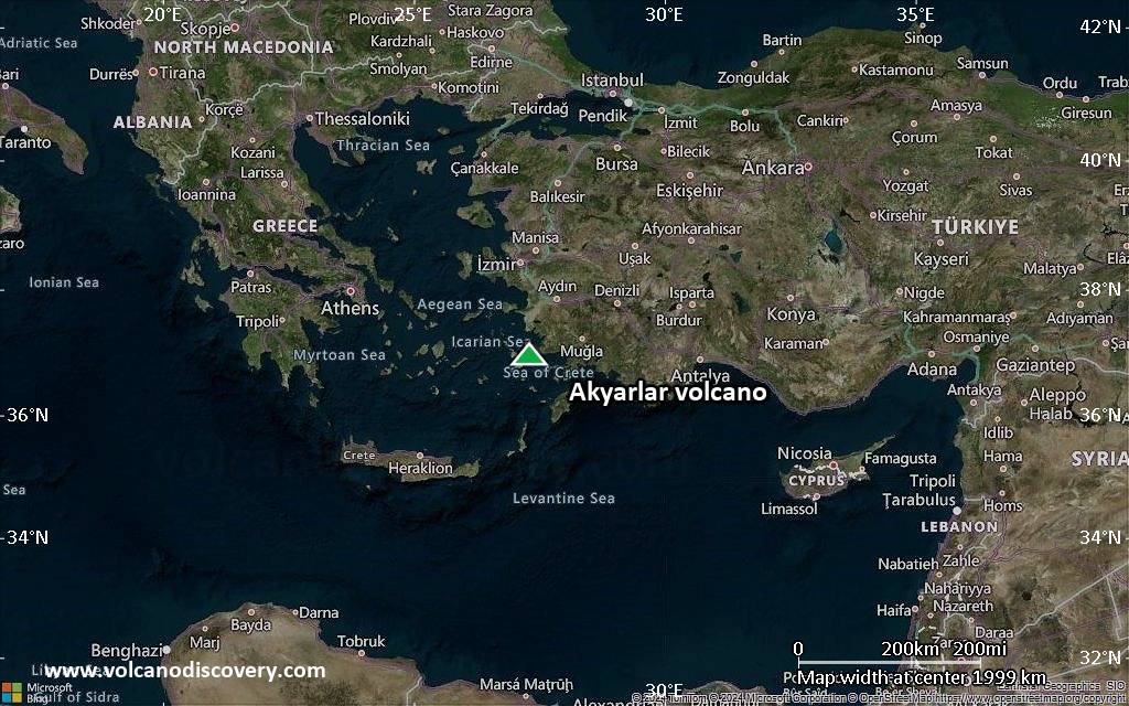
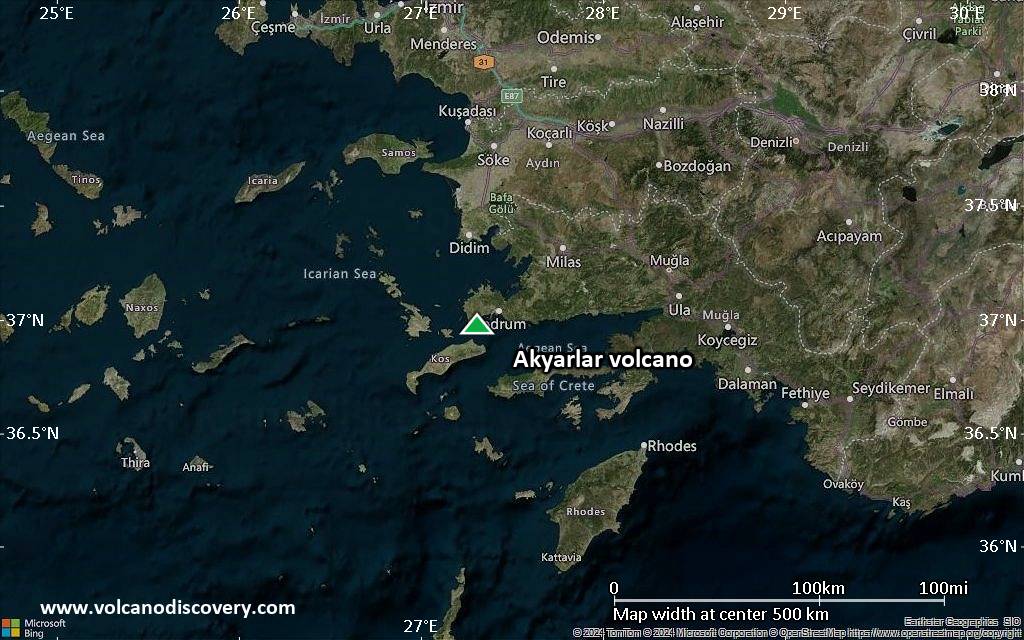
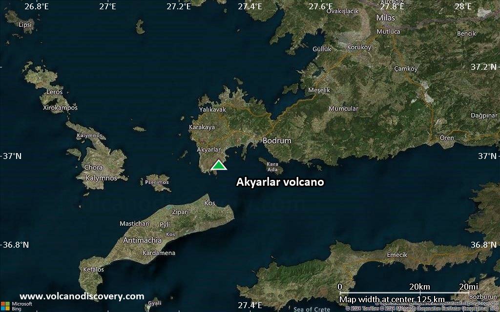
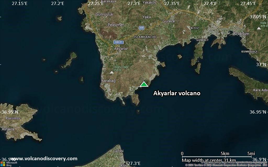
Satellite/aerial-type map of Akyarlar volcano (region scale large)
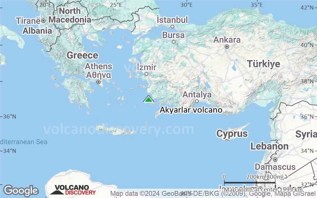
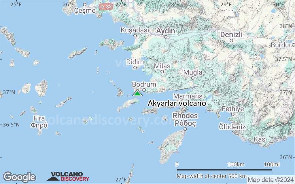
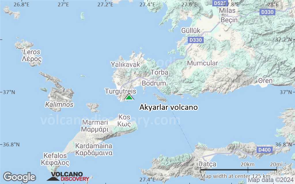
Terrain-type map of Akyarlar volcano (region scale large)
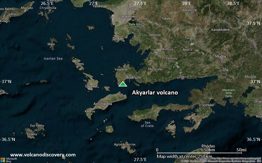
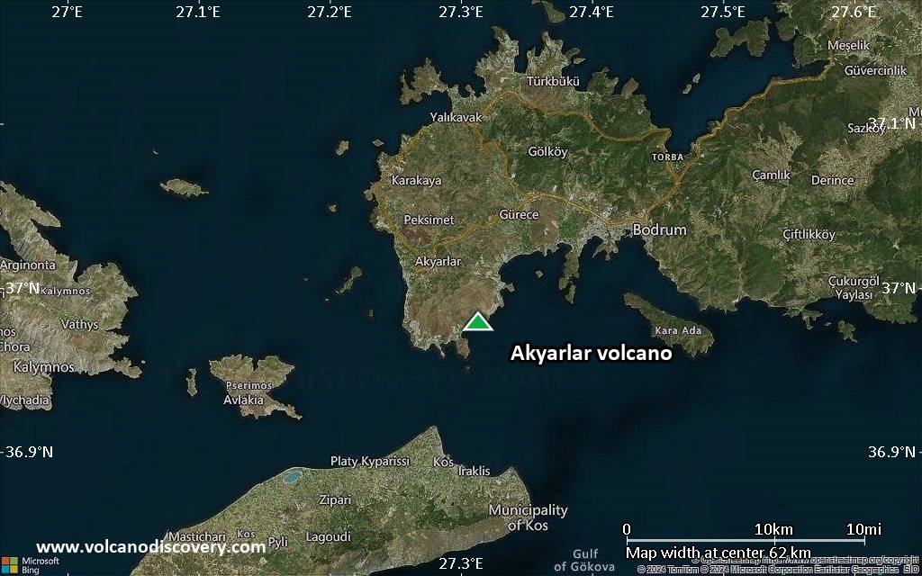
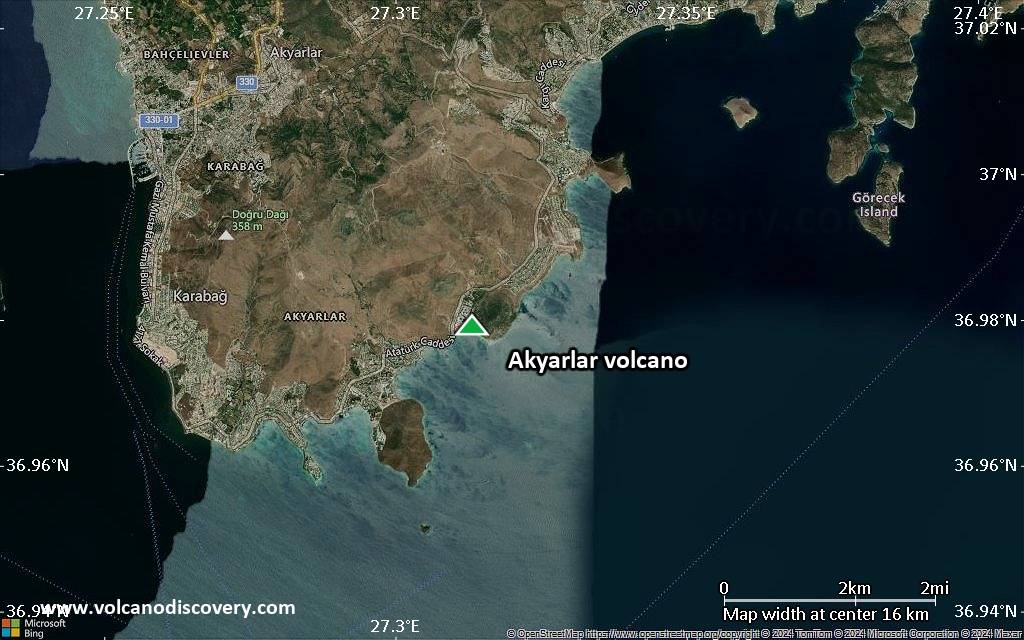
Satellite/aerial-type map of Akyarlar volcano (region scale medium)
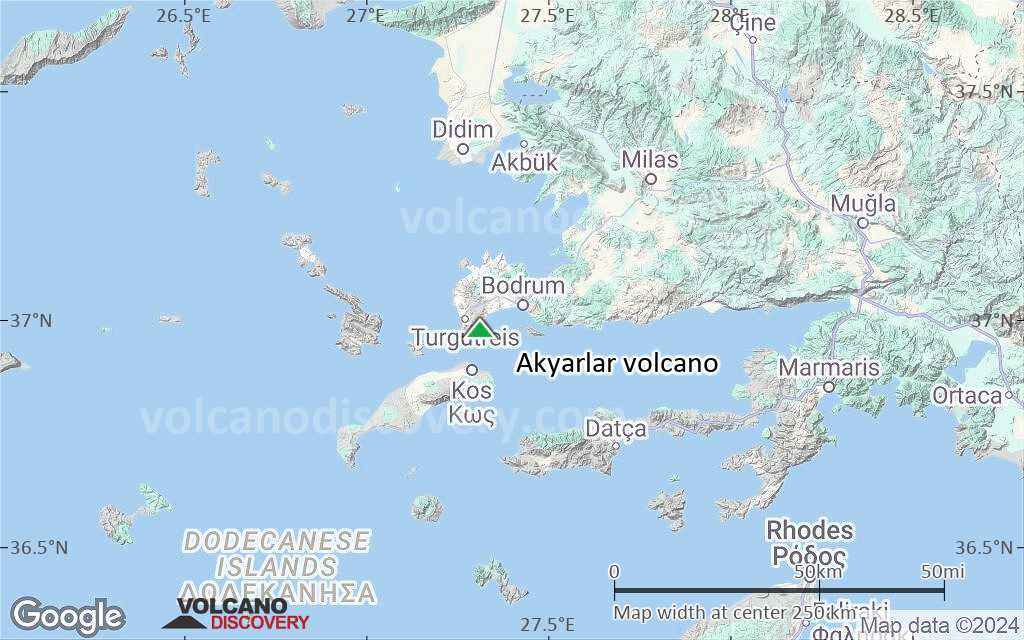
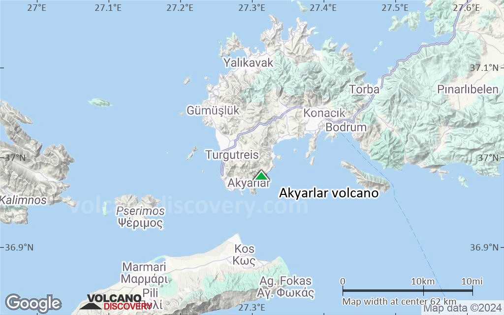
Terrain-type map of Akyarlar volcano (region scale medium)

Satellite/aerial-type map of Akyarlar volcano (region scale small)

Terrain-type map of Akyarlar volcano (region scale small)
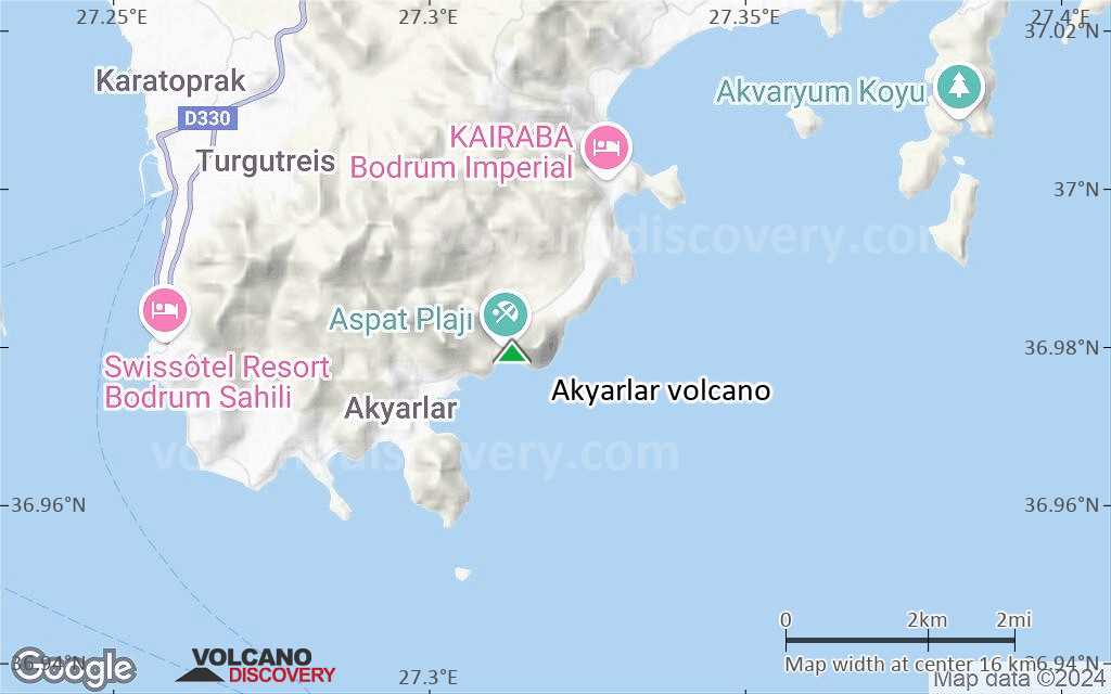
Satellite/aerial-type map of Akyarlar volcano (local scale large)
Terrain-type map of Akyarlar volcano (local scale large)
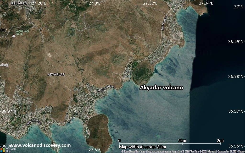
Satellite/aerial-type map of Akyarlar volcano (local scale medium)
Terrain-type map of Akyarlar volcano (local scale medium)
Satellite/aerial-type map of Akyarlar volcano (local scale small)
Terrain-type map of Akyarlar volcano (local scale small)
Satellite/aerial-type map of Akyarlar volcano (scale of 10s of km)
Terrain-type map of Akyarlar volcano (scale of 10s of km)
Satellite/aerial-type map of Akyarlar volcano (scale of 20-40 km)

Terrain-type map of Akyarlar volcano (scale of 20-40 km)
Satellite/aerial-type map of Akyarlar volcano (scale of approx. 10-20 km)
Terrain-type map of Akyarlar volcano (scale of approx. 10-20 km)
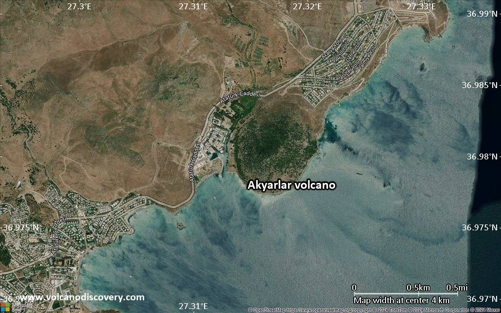
Satellite/aerial-type map of Akyarlar volcano (scale of 5-10 km)
Satellite/aerial-type map of Akyarlar volcano (scale of few kilometers)


