| RSS | EN | DE | EL | ES | FR | IT | RU

Cochiquito Volcano

Updated: May 6, 2025 18:06 GMT -
stratovolcanoes
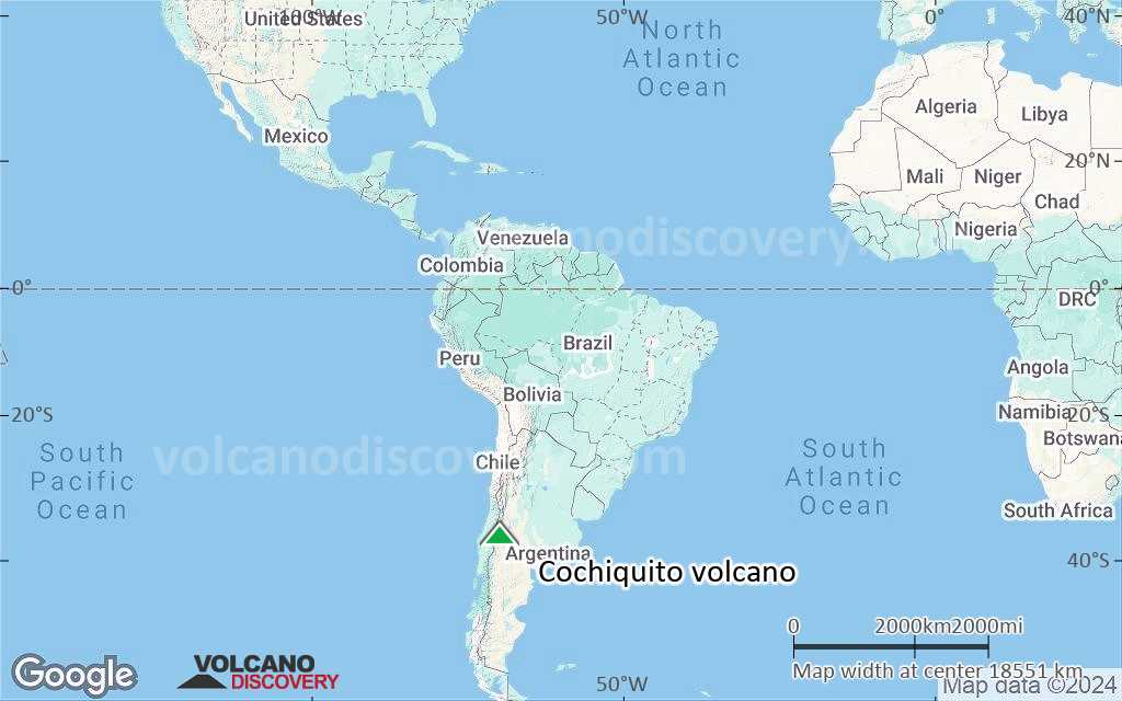
Argentina, -36.77°S / -69.82°W
Summit height: 1435 m / 4,708 ft
Current status: normal or dormant (1 out of 5)

Cochiquito is part of a small group of young volcanoes (Cochiquito, Sillanegra and Ranquil del Sur ) north of the town of Buta Ranquil, Argentina, near where the Río Grande and Río Barrancas join to form the Río Colorado.

[smaller] [larger]
Typical eruption style: explosive
Cochiquito volcano eruptions: none in historic times

Latest nearby earthquakes

Date and TimeMag / DepthDistance / Location
Apr 22, 11:26 pm (Mendoza)
3.0

10 km
7.2 km (4.5 mi) to the E Departamento de Malarguee, Mendoza Province, 17 km northeast of Barrancas, Pehuenches, Neuquen Province, Argentina Info

Background

Volcán Cochiquito is an alkaline basaltic stratovolcano with eight satellitic cones.
Volcán Sillanegra (or Malal) is pyroclastic cone complex with two craters and basaltic aa lava flows located east of the Río Grande. Its age was estimated to be Holocene (González-Ferrán, 1995).
Volcán Ranquil del Sur is a small stratovolcano south of the Río Barranca with an estimated Pleistocene-Holocene age that contains a 600-m-wide crater and produced andesitic pyroclastic material and lava flows. However, Folguera et al. (2006) describe Chochiquito as being erupted along a normally reactivated reverse fault in the Chos Malal belt, part of a group of basaltic domes and lava flows ranging from 3.2 to 1.5 Ma (citing dates in Linares and Gonzalez, 1987). Other researchers (e.g. Ramos and Folguera, 2011) map the area as older Pleistocene volcanics not part of the larger volcanic fields nearby.

Latest satellite images

Cochiquito satellite image sat1Cochiquito satellite image sat2

Cochiquito Volcano Maps

Below is a selection of maps showing the location and surroundings of the volcano at various resolutions based on aerial-imagery / terrain maps. Feel free to use them for non-commercial purposes on your blog or website as long as you credit them with a link back to this page (click to copy it).
Satellite/aerial-type map of Cochiquito volcano (world scale)
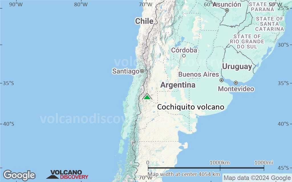
Terrain-type map of Cochiquito volcano (world scale)
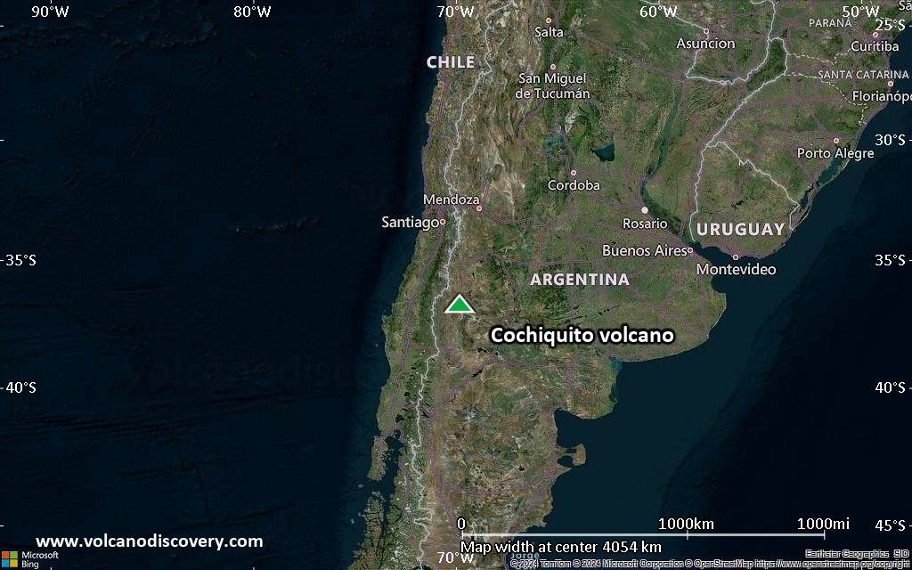
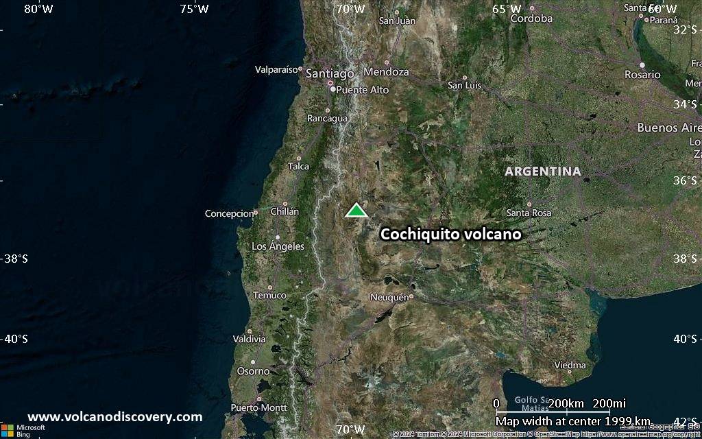
Satellite/aerial-type map of Cochiquito volcano (region scale large)
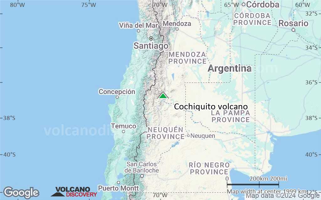
Terrain-type map of Cochiquito volcano (region scale large)
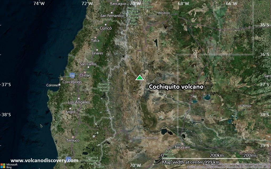
Satellite/aerial-type map of Cochiquito volcano (region scale medium)
Terrain-type map of Cochiquito volcano (region scale medium)
Satellite/aerial-type map of Cochiquito volcano (region scale small)
Terrain-type map of Cochiquito volcano (region scale small)
Satellite/aerial-type map of Cochiquito volcano (local scale large)
Terrain-type map of Cochiquito volcano (local scale large)
Satellite/aerial-type map of Cochiquito volcano (local scale medium)
Terrain-type map of Cochiquito volcano (local scale medium)
Satellite/aerial-type map of Cochiquito volcano (local scale small)
Terrain-type map of Cochiquito volcano (local scale small)
Satellite/aerial-type map of Cochiquito volcano (scale of 10s of km)
Terrain-type map of Cochiquito volcano (scale of 10s of km)
Satellite/aerial-type map of Cochiquito volcano (scale of 20-40 km)
Terrain-type map of Cochiquito volcano (scale of 20-40 km)
Satellite/aerial-type map of Cochiquito volcano (scale of approx. 10-20 km)
Terrain-type map of Cochiquito volcano (scale of approx. 10-20 km)
Satellite/aerial-type map of Cochiquito volcano (scale of 5-10 km)
Satellite/aerial-type map of Cochiquito volcano (scale of few kilometers)
Volcanoes & Earthquakes - new app for Android
Guaranteed tours
9-25 Jun 2025: Volcanoes and Spices - Sulawesi/Halmahera (Indonesia)
7-22 Jul 2025: From Krakatau to Bali - Java (Indonesia)
7-23 Jul 2025: Volcanoes and Spices - Sulawesi/Halmahera (Indonesia)
1-17 Aug 2025: Volcanoes and Spices - Sulawesi/Halmahera (Indonesia)
1-14 Oct 2025: Desert, salt and volcanoes - Danakil desert (Ethiopia)
4-12 Oct 2025: From Stromboli to Etna - Sicily and Eolian Islands (Italy)
6-21 Oct 2025: From Krakatau to Bali - Java (Indonesia)
3-19 Nov 2025: Volcanoes and Spices - Sulawesi/Halmahera (Indonesia)
= spaces available   = guaranteed   = few spaces left   = booked out

No news in this list.

On this page:

Try our free app!
Volcanoes & Earthquakes - new app for Android
Android | iOS version

More on VolcanoDiscovery

Why is there advertising on this site?

Support us - Help us upgrade our services!

We truly love working to bring you the latest volcano and earthquake data from around the world. Maintaining our website and our free apps does require, however, considerable time and resources.
We need financing to increase hard- and software capacity as well as support our editor team. We're aiming to achieve uninterrupted service wherever an earthquake or volcano eruption unfolds, and your donations can make it happen! Every donation will be highly appreciated. If you find the information useful and would like to support our team in integrating further features, write great content, and in upgrading our soft- and hardware, please make a donation (PayPal).

Planned features:Thanks to your past donations, these features have been added recently:
Download and Upgrade the Volcanoes & Earthquakes app to get one of the fastest seismic and volcano alerts online:
Android | IOS
Thank you!
Sources: VolcanoDiscovery / VolcanoAdventures and other sources as noted.
Use of material: Most text and images on our websites are owned by us. Re-use is generally not permitted without authorization. Contact us for licensing rights.
Volcanoes & Earthquakes
VolcanoDiscovery Home
Volcanoes | Earthquakes | Photos | Volcano News | | Shop | App
Adventure & Study Travel
Tours to Volcanoes and Volcanic Areas: walking tours, photo tours, study tours
Tours & Dates | FAQ | About us
Get our newsletter!
Company info
Contact | Legal info | Terms & conditions
Follow us
Follow us on facebook Follow us on Instagram Follow us on Bluesky Follow us on Twitter Visit our Youtube channel
EN | DE | EL | ES | FR | IT | RU
VolcanoDiscovery GmbH, Germany, Reg. nr.: HRB 103744, EU Tax Id: DE 297 465 123 owned and created by
Dr. Tom Pfeiffer, volcanologist, volcano photographer, tour organizer member of
IAVCEI
IAVCEI
Vulkanologische Gesellschaft
Volcanological Society
Ecotourism Greece
Ecotourism Greece
RUV insurance
Insured by R+V
VolcanoDiscovery © 2004- All Rights Reserved | Privacy - Cookie Settings