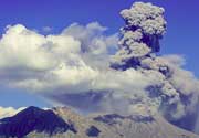
Curutu Volcano
Updated: Jun 16, 2025 14:52 GMT -
Stratovolcano
Northern Chile, -23.17°S / -67.07°W 
Summit height: 5394 m / 17697 ft
Current status: (probably) extinct (0 out of 5)
[smaller] [larger]
Curutu volcano eruptions: None during the past 10,000 years
Less than few million years ago (Pleistocene)
Latest nearby earthquakes
| Date and Time | Mag / Depth | Distance / Location | |||
|---|---|---|---|---|---|
| Jun 15, 07:49 am (Santiago) | 3.5 263 km | 24 km (15 mi) to the SW | Info | ||
| Saturday, June 14, 2025 GMT (1 quake) | |||||
| Jun 14, 10:29 pm (Universal Time) | 2.9 221 km | 16 km (9.7 mi) to the NW | Info | ||
| Friday, June 6, 2025 GMT (1 quake) | |||||
| Jun 6, 04:04 pm (Universal Time) | 3.5 221 km | 5.3 km (3.3 mi) to the NE | Info | ||
| Tuesday, June 3, 2025 GMT (1 quake) | |||||
| Jun 2, 08:52 pm (GMT -4) | 3.8 216 km | 19 km (12 mi) to the SW | Info | ||
Background
Upper Pleistocene (Moreno 1985).---
Source: Smithsonian / GVP volcano information
Latest satellite images
Curutu Volcano Maps
Below is a selection of maps showing the location and surroundings of the volcano at various resolutions based on aerial-imagery / terrain maps. Feel free to use them for non-commercial purposes on your blog or website as long as you credit them with a link back to this page (click to copy it).
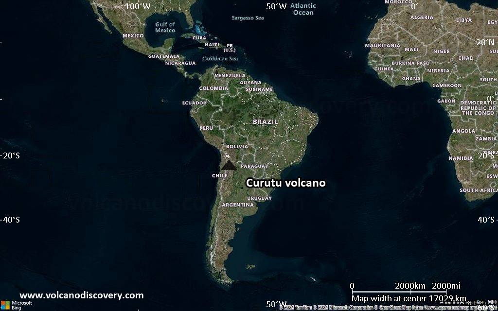
Satellite/aerial-type map of Curutu volcano (world scale)
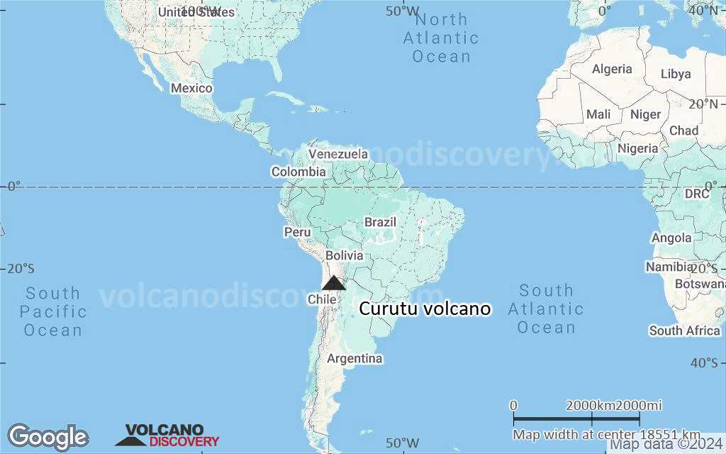
Terrain-type map of Curutu volcano (world scale)
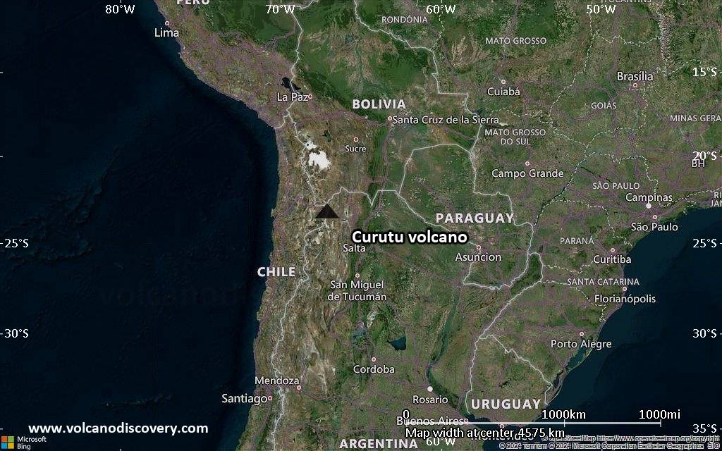
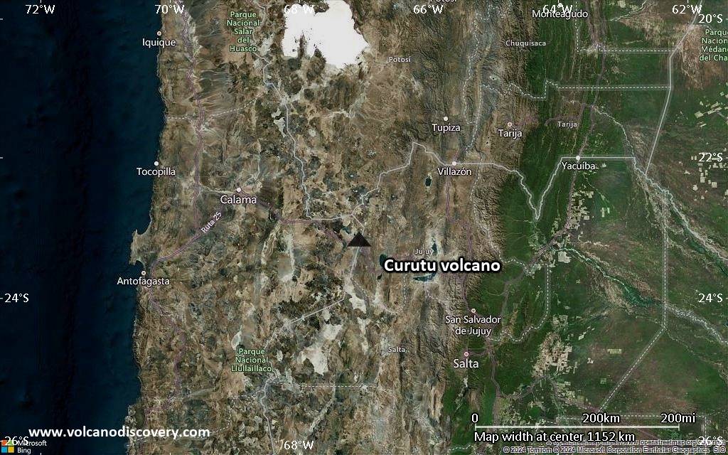
Satellite/aerial-type map of Curutu volcano (region scale large)
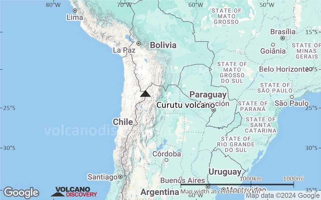
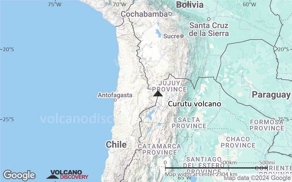
Terrain-type map of Curutu volcano (region scale large)
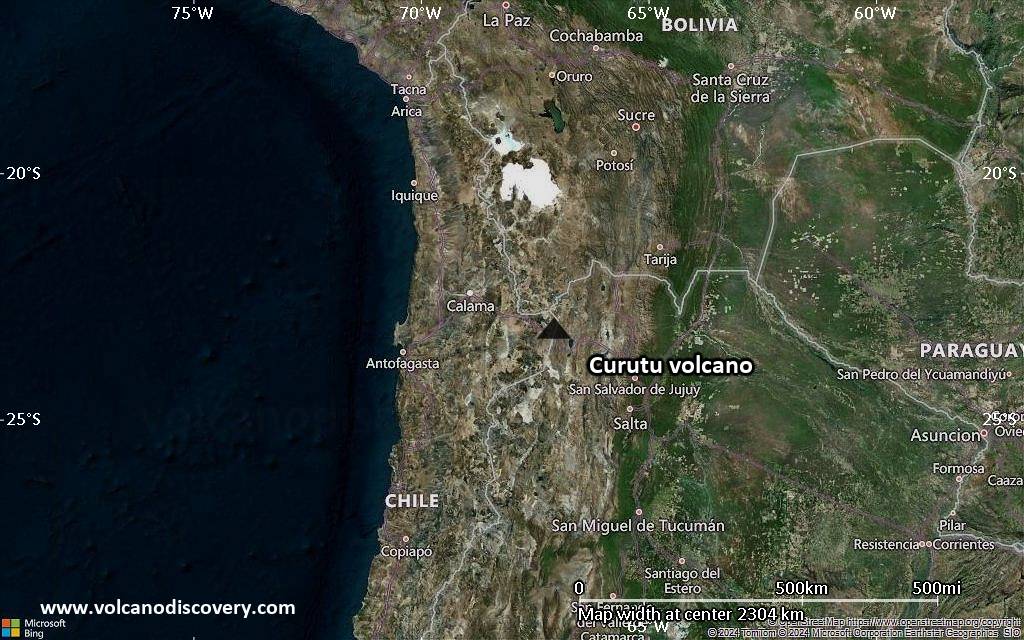
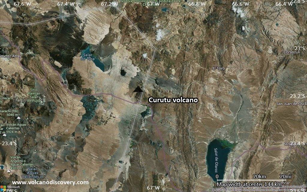
Satellite/aerial-type map of Curutu volcano (region scale medium)
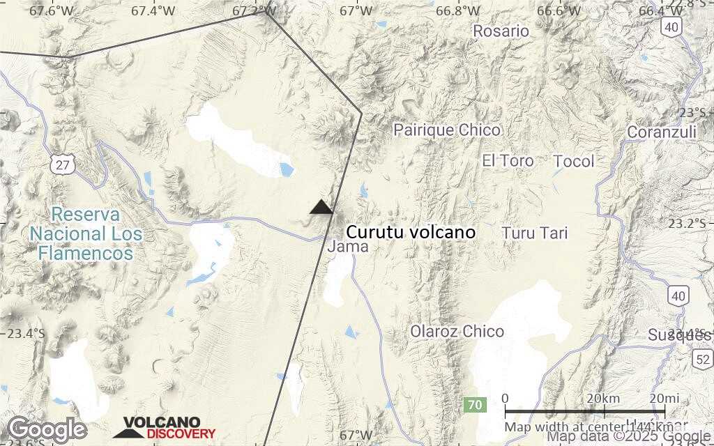
Terrain-type map of Curutu volcano (region scale medium)
Satellite/aerial-type map of Curutu volcano (region scale small)

Terrain-type map of Curutu volcano (region scale small)

Satellite/aerial-type map of Curutu volcano (local scale large)
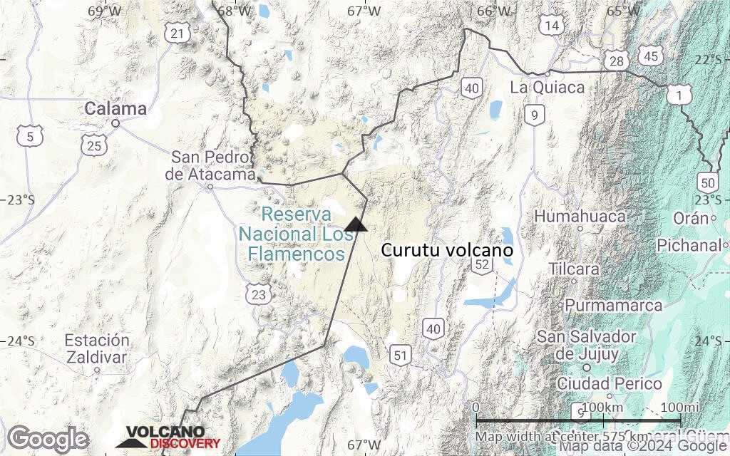
Terrain-type map of Curutu volcano (local scale large)
Satellite/aerial-type map of Curutu volcano (local scale medium)

Terrain-type map of Curutu volcano (local scale medium)
Satellite/aerial-type map of Curutu volcano (local scale small)
Terrain-type map of Curutu volcano (local scale small)
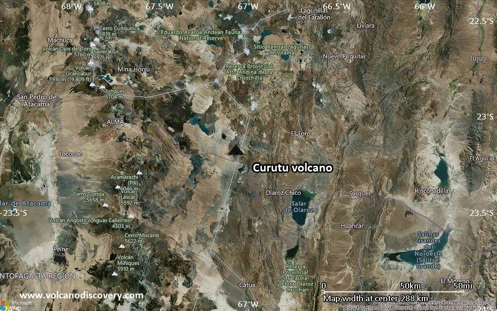
Satellite/aerial-type map of Curutu volcano (scale of 10s of km)
Terrain-type map of Curutu volcano (scale of 10s of km)
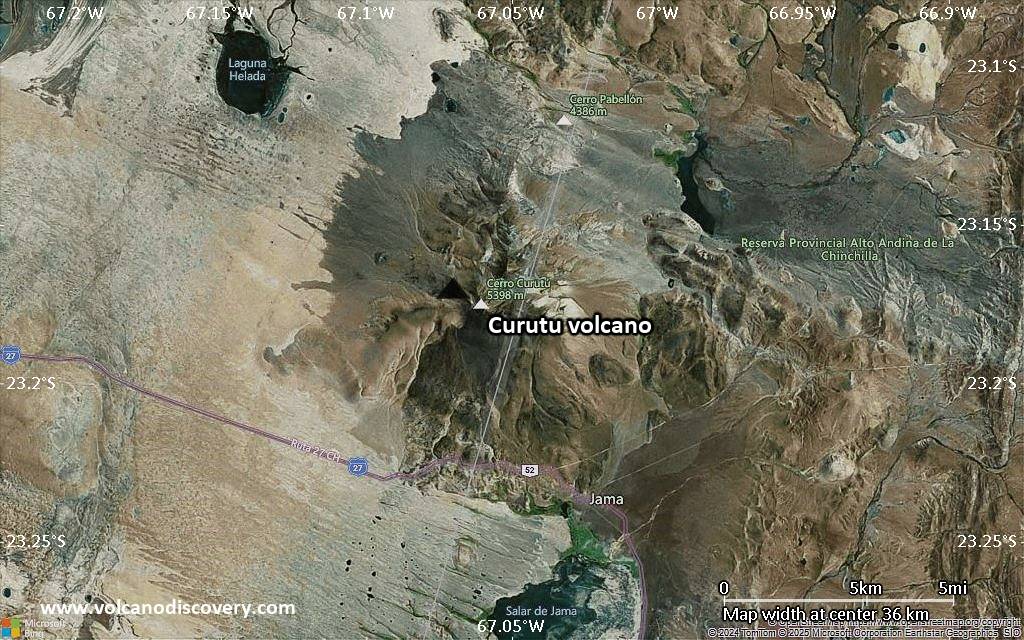
Satellite/aerial-type map of Curutu volcano (scale of 20-40 km)
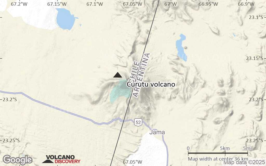
Terrain-type map of Curutu volcano (scale of 20-40 km)
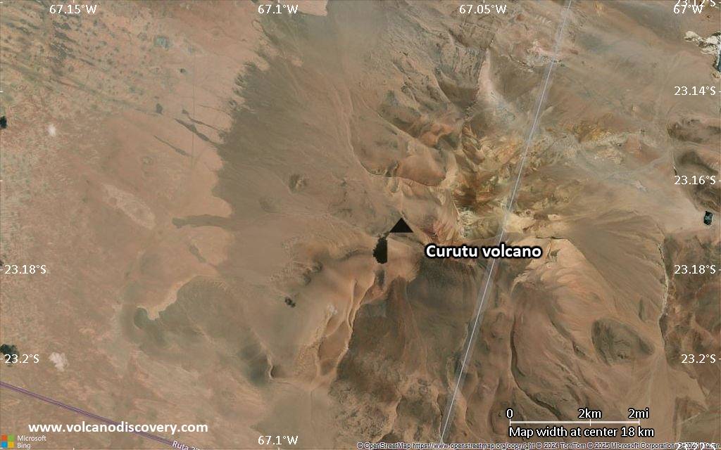
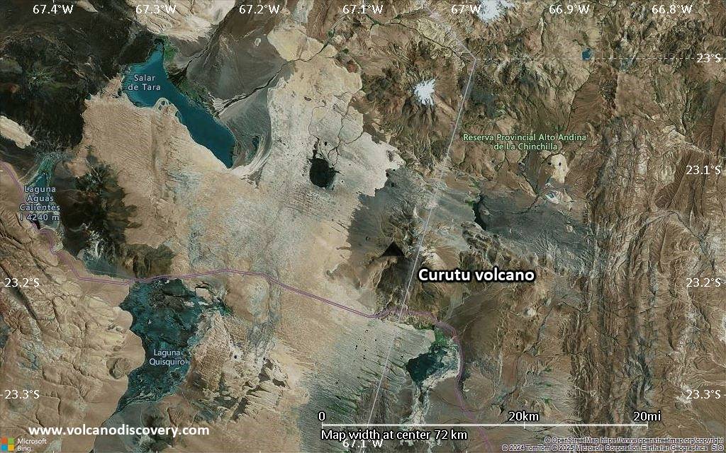
Satellite/aerial-type map of Curutu volcano (scale of approx. 10-20 km)

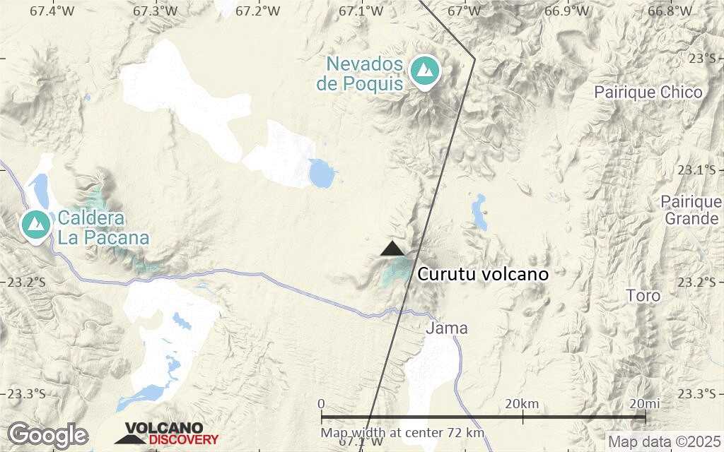
Terrain-type map of Curutu volcano (scale of approx. 10-20 km)

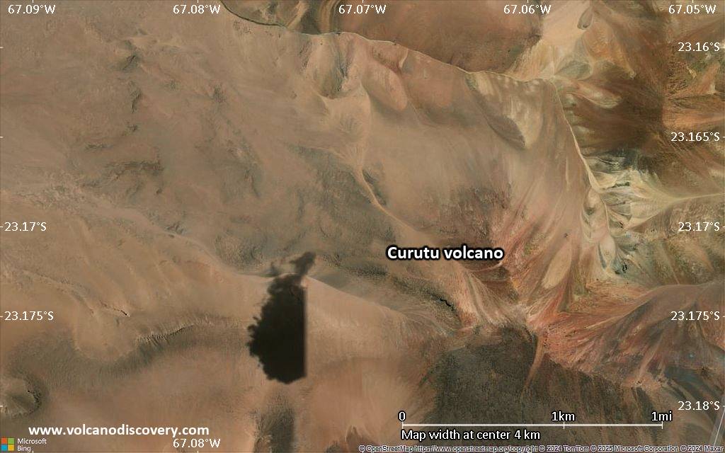
Satellite/aerial-type map of Curutu volcano (scale of 5-10 km)
Satellite/aerial-type map of Curutu volcano (scale of few kilometers)