Fonualei Volcano
Updated: Apr 28, 2024 03:41 GMT -
Stratovolcano 180 m / 591 ft
Tonga, Tonga Islands, -18.02°S / -174.33°W
Current status: normal or dormant (1 out of 5)
Tonga, Tonga Islands, -18.02°S / -174.33°W
Current status: normal or dormant (1 out of 5)
Last update: 12 Dec 2021 (submarine eruption from a yet unlisted volcano nearby in early Aug 2019)
[smaller] [larger]
Fonualei volcano eruptions: 1957
Latest nearby earthquakes
| Time | Mag. / Depth | Distance / Location | |||
Background
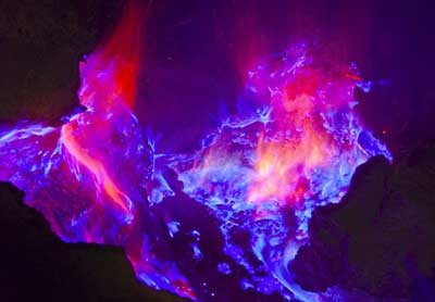
The small, less than 2-km-wide island of Fonualei contains a fumarolically active crater, which is breached to the SW with a fresh lava flow extending to the sea and forming a rugged shoreline. Steep, inward-facing scarps mark the rim of a partially exposed caldera which contains a pyroclastic cone that is breached to the east and forms the 180-m-high summit of the island. Blocky lava flows from this cone fill much of the northern caldera moat and reach the sea through notches in the northern and eastern caldera rims. In contrast to the andesitic and basaltic rocks of other islands of the Tonga arc, Fonualei lavas are of dominantly dacitic composition. Eruptions have been recorded since 1791, with the largest taking place in June 1846, when explosive eruptions produced large pumice rafts, and ashfall damaged crops on the island of Vavua (56 km away) and fell on vessels up to 950 km distant. In 1939 explosive and effusive activity occurred from summit and flank vents, and water spouts were reported 1.6 km SE of the island.---
Smithsonian / GVP volcano information
Latest satellite images