| RSS | EN | DE | EL | ES | FR | IT | RU

Jaraguay Volcano

Updated: Apr 2, 2025 00:32 GMT -
volcanic field
Baja California, Mexico, 29.33°N / -114.5°W
Summit height: 960? m / 3,150 ft
Current status: normal or dormant (1 out of 5)

Jaraguay volcano is a volcanic field located between Jaraguay and Arroyo San José on the western side of Baja California, Mexico. It contains cinder cones and associated basaltic and basaltic-andesite lava flows, some of which are probably less than about 5000 years old.

[smaller] [larger]
Typical eruption style: effusive
Jaraguay volcano eruptions: unknown, less than 10,000 years ago

Latest nearby earthquakes

Date and TimeMag / DepthDistance / Location

Background

The Jaraguay volcanic field is the northernmost of a group of large young alkalic volcanic fields in Baja California. Located primarily on the Pacific Ocean side of northern Baja between Jaraguay and Arroyo San José, the Jaraguay field contains numerous youthful-looking cinder cones and associated basaltic and basaltic-andesite lava flows. Some lava flows are less vegetated than flows of the San Quintín volcanic field to the north that overlie 5000-6000 year-old midden deposits (Rogers et al., 1985). Several Holocene lava flows were erupted near the south side of Arroyo San José at the SW end of the Jaraguay volcanic field.
(Smithsonian / GVP volcano information)

Latest satellite images

Jaraguay satellite image sat1Jaraguay satellite image sat2

Jaraguay Volcano Maps

Below is a selection of maps showing the location and surroundings of the volcano at various resolutions based on aerial-imagery / terrain maps. Feel free to use them for non-commercial purposes on your blog or website as long as you credit them with a link back to this page (click to copy it).
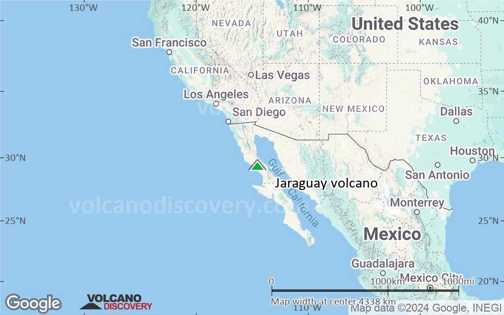
Satellite/aerial-type map of Jaraguay volcano (world scale)
Terrain-type map of Jaraguay volcano (world scale)
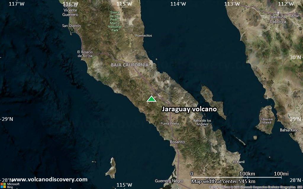
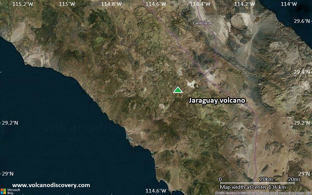
Satellite/aerial-type map of Jaraguay volcano (region scale large)
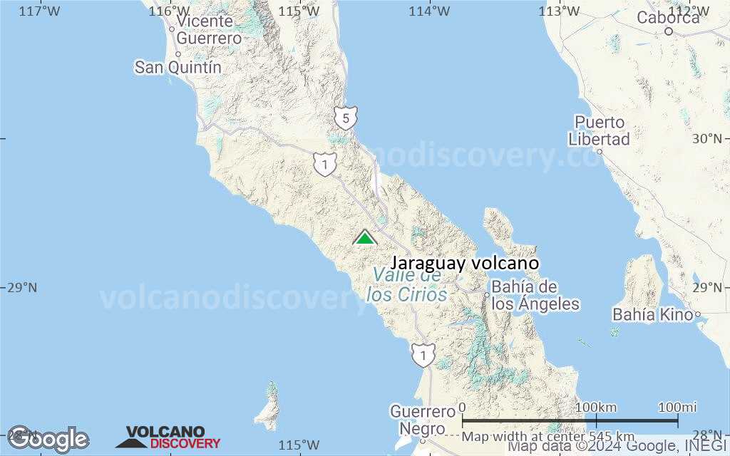
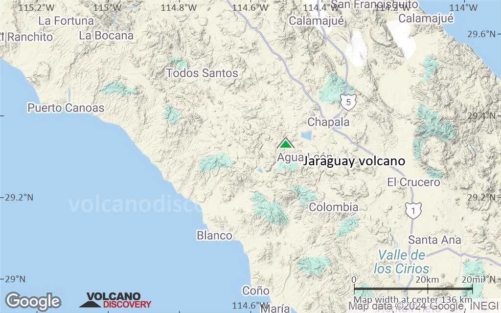
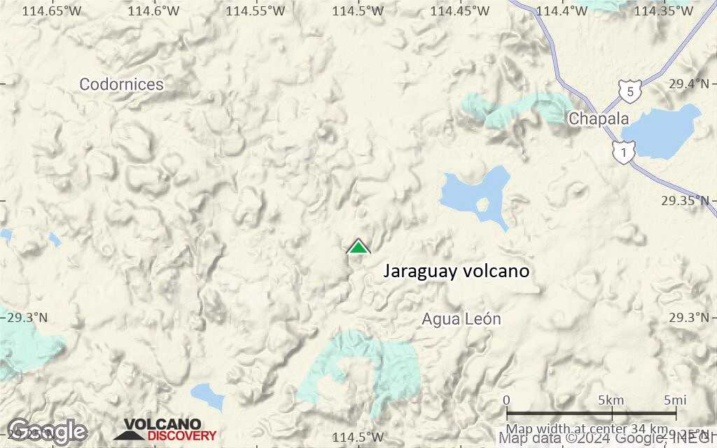
Terrain-type map of Jaraguay volcano (region scale large)
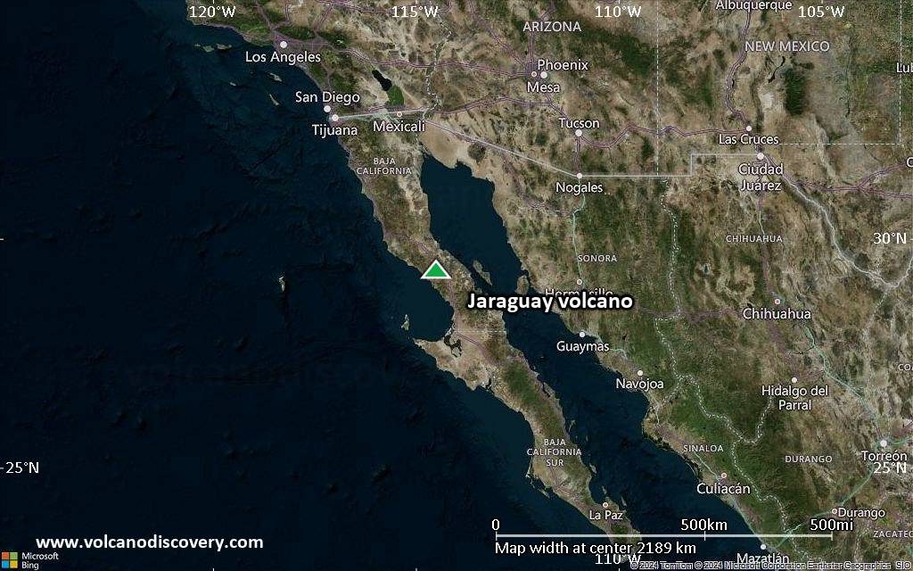
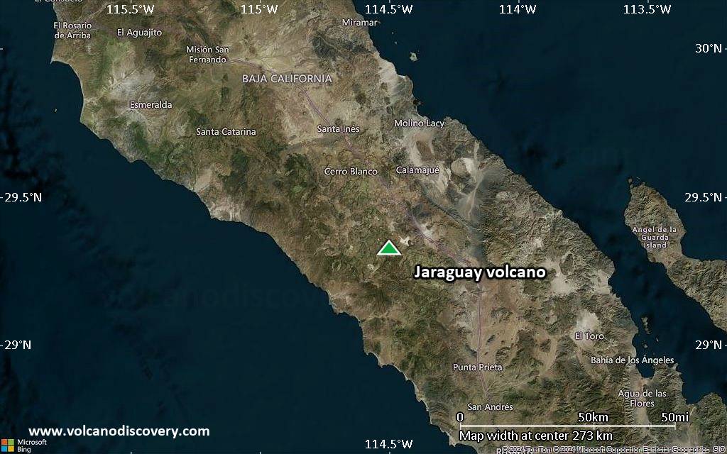
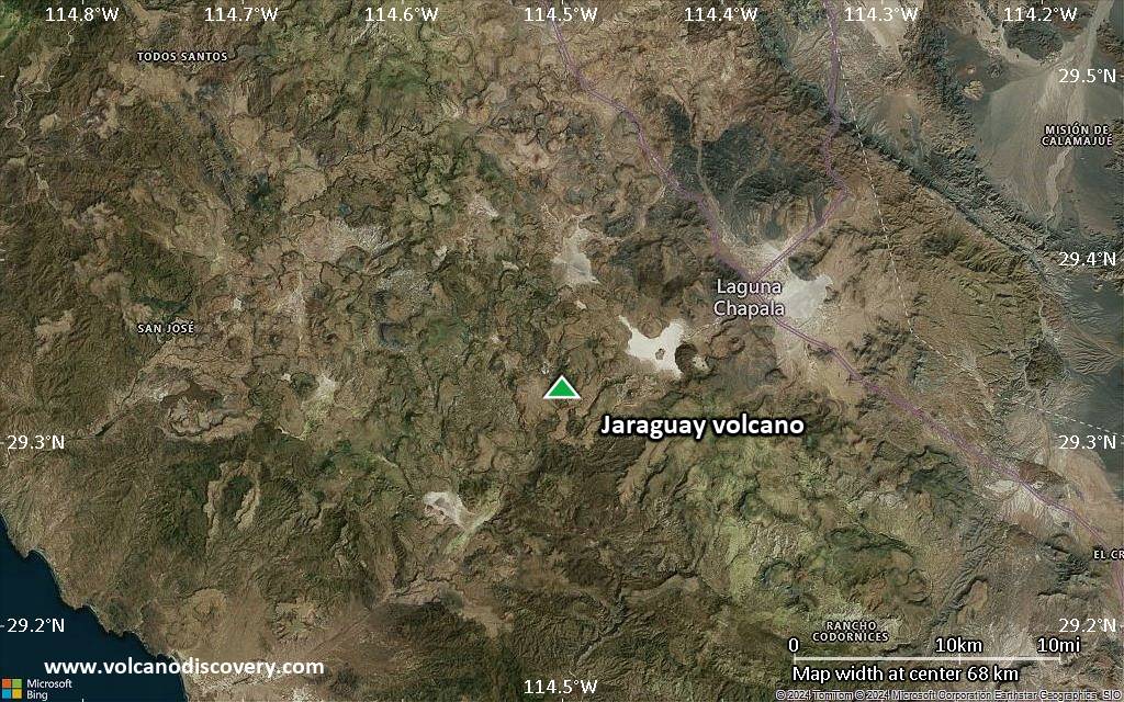
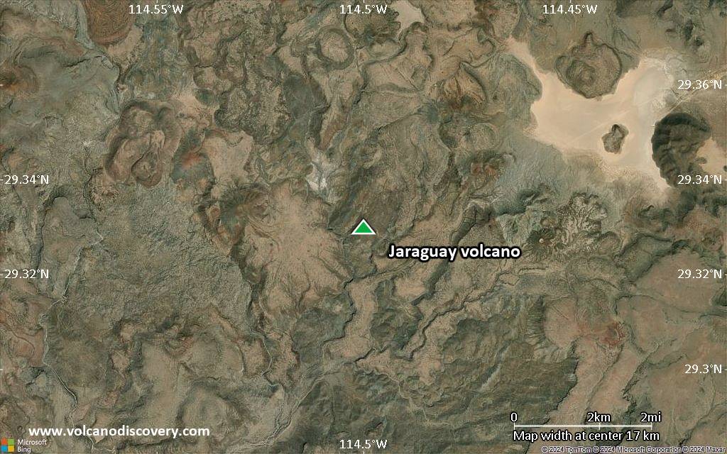
Satellite/aerial-type map of Jaraguay volcano (region scale medium)
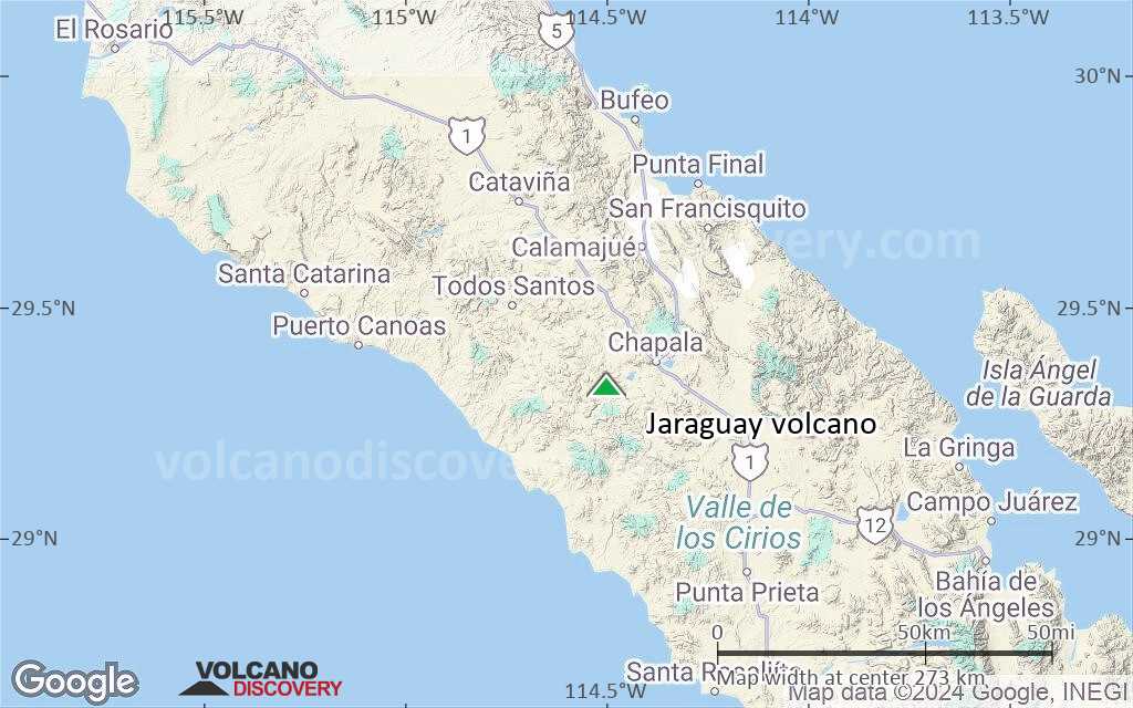
Terrain-type map of Jaraguay volcano (region scale medium)
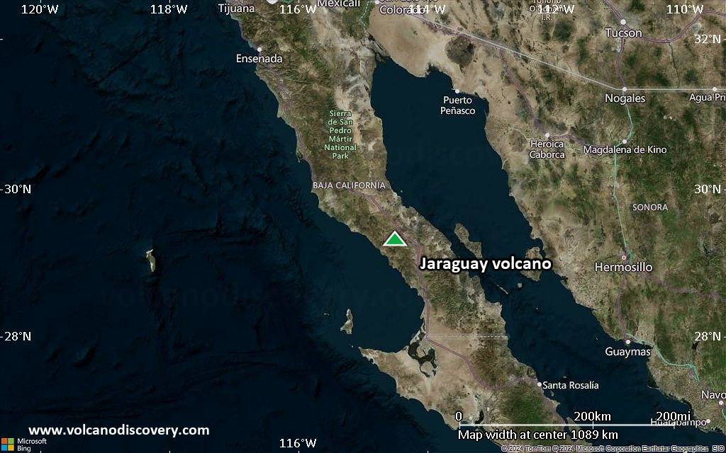
Satellite/aerial-type map of Jaraguay volcano (region scale small)
Terrain-type map of Jaraguay volcano (region scale small)
Satellite/aerial-type map of Jaraguay volcano (local scale large)
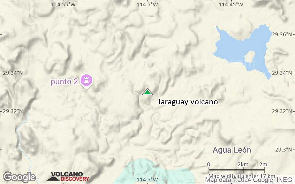
Terrain-type map of Jaraguay volcano (local scale large)
Satellite/aerial-type map of Jaraguay volcano (local scale medium)
Terrain-type map of Jaraguay volcano (local scale medium)
Satellite/aerial-type map of Jaraguay volcano (local scale small)
Terrain-type map of Jaraguay volcano (local scale small)
Satellite/aerial-type map of Jaraguay volcano (scale of 10s of km)
Terrain-type map of Jaraguay volcano (scale of 10s of km)
Satellite/aerial-type map of Jaraguay volcano (scale of 20-40 km)
Terrain-type map of Jaraguay volcano (scale of 20-40 km)
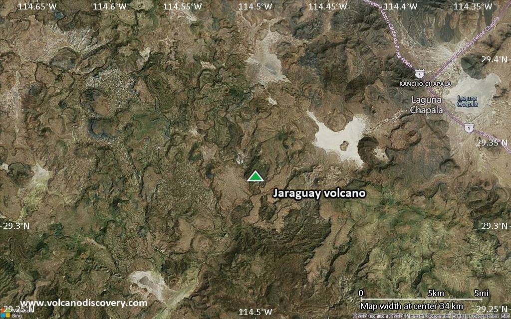
Satellite/aerial-type map of Jaraguay volcano (scale of approx. 10-20 km)
Terrain-type map of Jaraguay volcano (scale of approx. 10-20 km)
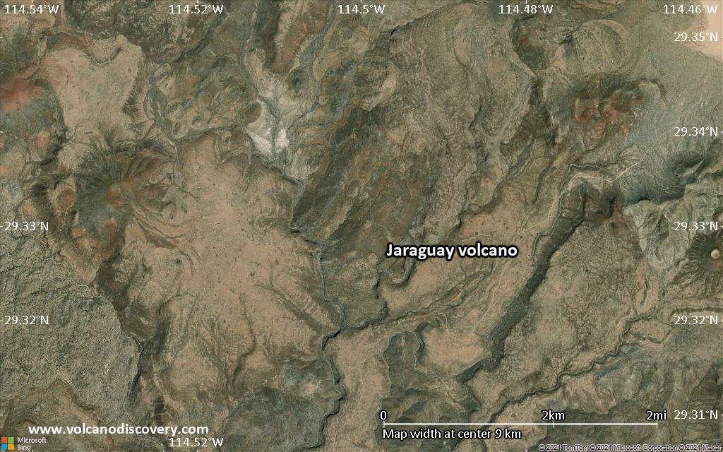
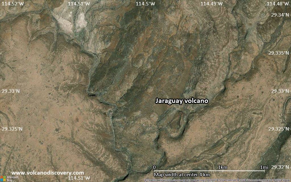
Satellite/aerial-type map of Jaraguay volcano (scale of 5-10 km)
Satellite/aerial-type map of Jaraguay volcano (scale of few kilometers)
Volcanoes & Earthquakes - new app for Android
Guaranteed tours
6-19 Apr 2025: Desert, salt and volcanoes - Danakil desert (Ethiopia)
12-19 Apr 2025: Europe's Volcanic Outpost - Canary Islands
9-25 Jun 2025: Volcanoes and Spices - Sulawesi/Halmahera (Indonesia)
27 Jun - 6 Jul 2025: Iceland Volcano Special - Iceland
7-23 Jul 2025: Volcanoes and Spices - Sulawesi/Halmahera (Indonesia)
1-17 Aug 2025: Volcanoes and Spices - Sulawesi/Halmahera (Indonesia)
13-26 Sep 2025: Green Volcanoes - Azores (Portugal)
1-14 Oct 2025: Desert, salt and volcanoes - Danakil desert (Ethiopia)
4-12 Oct 2025: From Stromboli to Etna - Sicily and Eolian Islands (Italy)
= spaces available   = guaranteed   = few spaces left   = booked out

No news in this list.

On this page:

Why is there advertising on this site?
Sources: VolcanoDiscovery / VolcanoAdventures and other sources as noted.
Use of material: Most text and images on our websites are owned by us. Re-use is generally not permitted without authorization. Contact us for licensing rights.
Volcanoes & Earthquakes
VolcanoDiscovery Home
Volcanoes | Earthquakes | Photos | Volcano News | App
Adventure & Study Travel
Tours to Volcanoes and Volcanic Areas: walking tours, photo tours, study tours
Tours & Dates | FAQ | About us
Get our newsletter!
Company info
Contact | Legal info | Terms & conditions
Follow us
Follow us on facebook Follow us on Instagram Follow us on Bluesky Follow us on Twitter Visit our Youtube channel
EN | DE | EL | ES | FR | IT | RU
VolcanoDiscovery GmbH, Germany, Reg. nr.: HRB 103744, EU Tax Id: DE 297 465 123 owned and created by
Dr. Tom Pfeiffer, volcanologist, volcano photographer, tour organizer member of
IAVCEI
IAVCEI
Vulkanologische Gesellschaft
Volcanological Society
Ecotourism Greece
Ecotourism Greece
RUV insurance
Insured by R+V
VolcanoDiscovery © 2004- All Rights Reserved | Privacy - Cookie Settings