


Jumaytepeque Volcano
Updated: Jun 14, 2025 01:53 GMT -
Stratovolcano
Guatemala, 14.34°N / -90.27°W 
Summit height: 1815 m / 5,955 ft
Current status: (probably) extinct (0 out of 5)
[smaller] [larger]
Jumaytepeque volcano eruptions: unknown, no recent eruptions
Latest nearby earthquakes
| Date and Time | Mag / Depth | Distance / Location | |||
|---|---|---|---|---|---|
| Jun 2, 08:37 am (Universal Time) | 1.9 11 km | 12 km (7.5 mi) to the NW | Info | ||
Background
Jumaytepeque is a small basaltic stratovolcano located NNE of the city of Cuilapa, north of the major NW-SE-trending Jalpatagua fault that cuts diagonally across SE Guatemala. The 1815-m-high volcano was constructed near the SE rim of the large Miocene Santa Rosa de Lima caldera. Jumaytepeque volcano is not overlain by a ca. 23,000-year-old tephra unit from nearby Ayarza caldera, and its erosionally unmodified form suggests that Holocene activity is possible (Reynolds 2007, pers. comm.). Two older cinder cones to the north are covered with Ayarza tephra.---
Smithsonian / GVP volcano information
Latest satellite images

Jumaytepeque Volcano Maps
Below is a selection of maps showing the location and surroundings of the volcano at various resolutions based on aerial-imagery / terrain maps. Feel free to use them for non-commercial purposes on your blog or website as long as you credit them with a link back to this page (click to copy it).
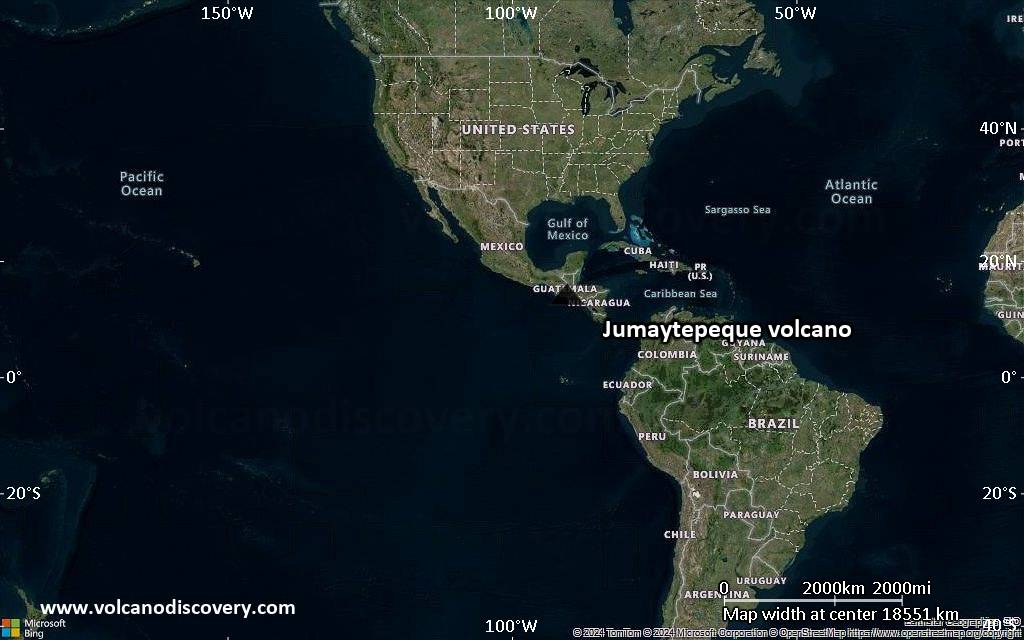
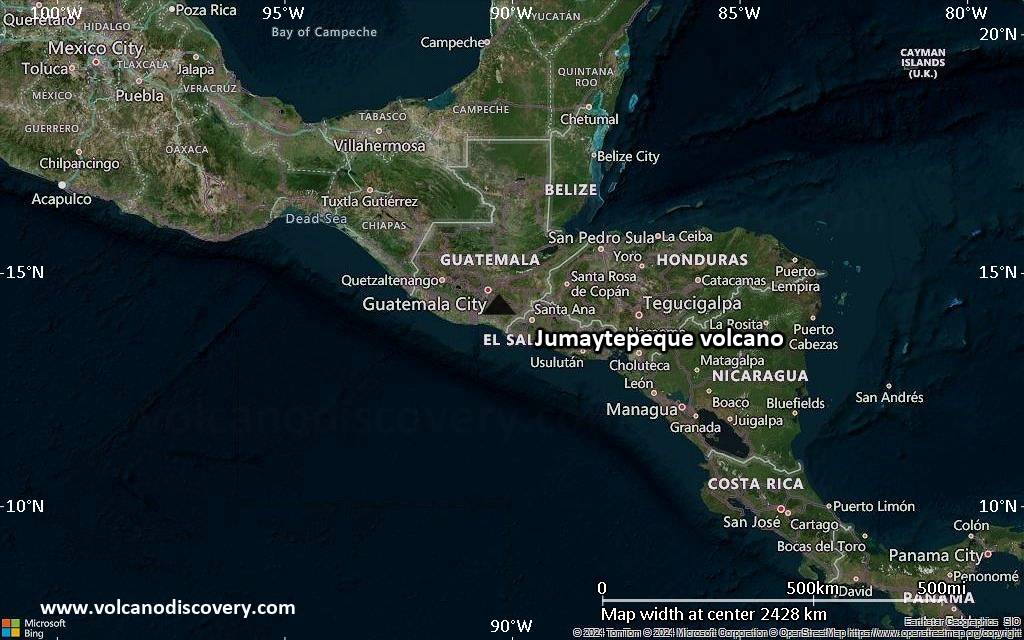
Satellite/aerial-type map of Jumaytepeque volcano (world scale)
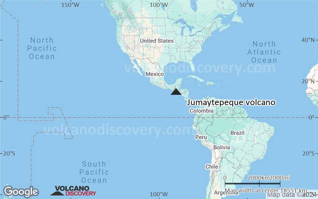
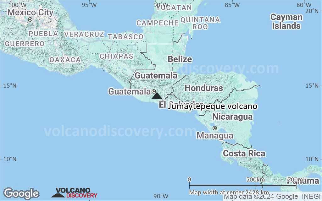
Terrain-type map of Jumaytepeque volcano (world scale)
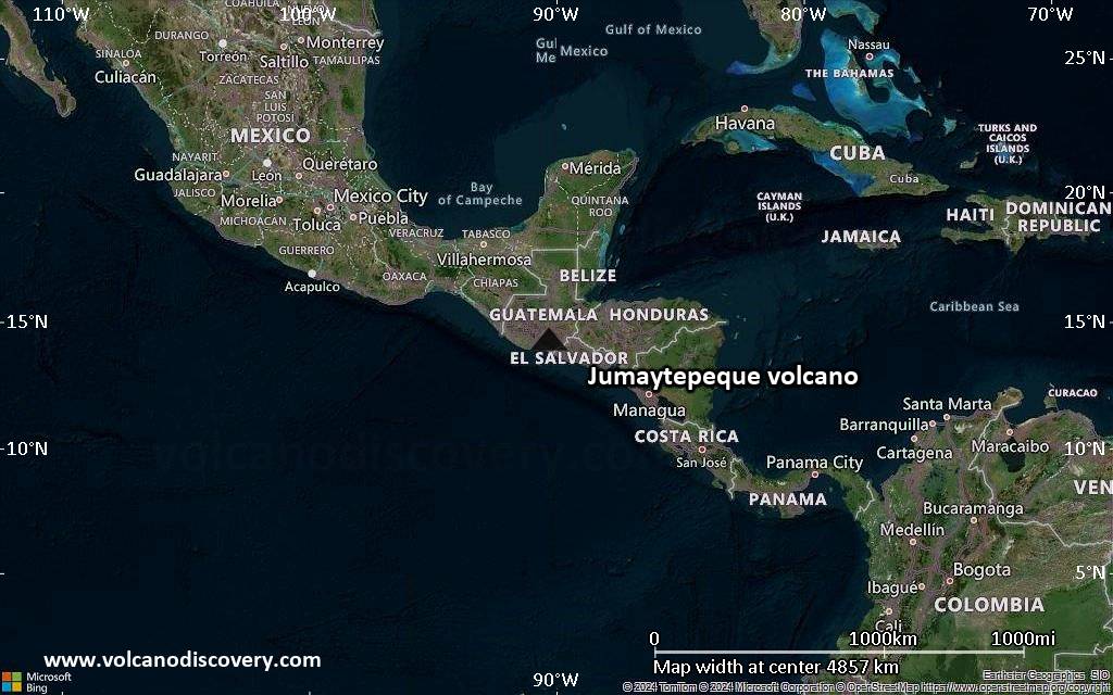
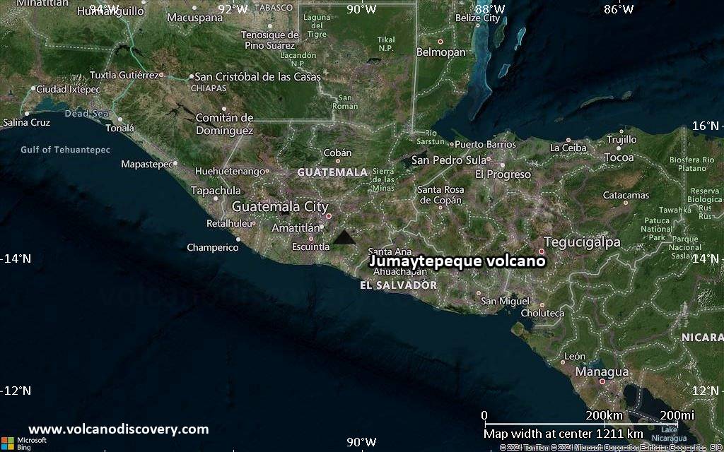
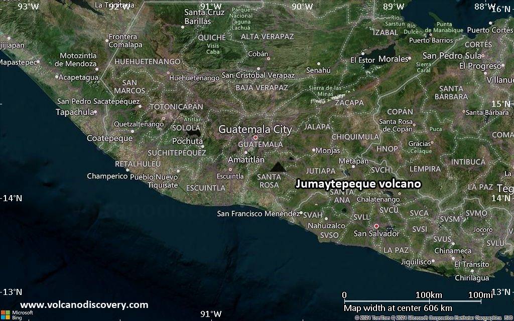
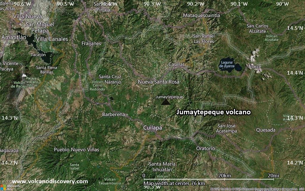
Satellite/aerial-type map of Jumaytepeque volcano (region scale large)

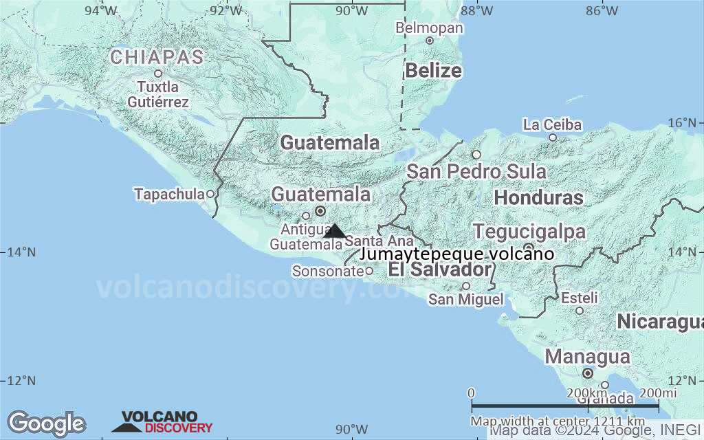
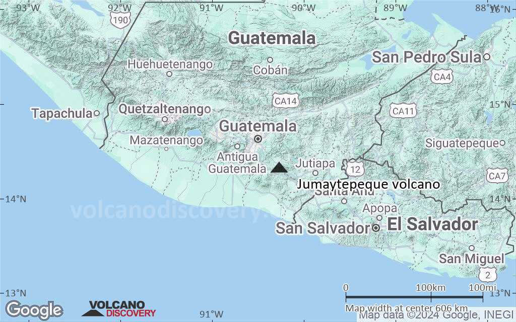
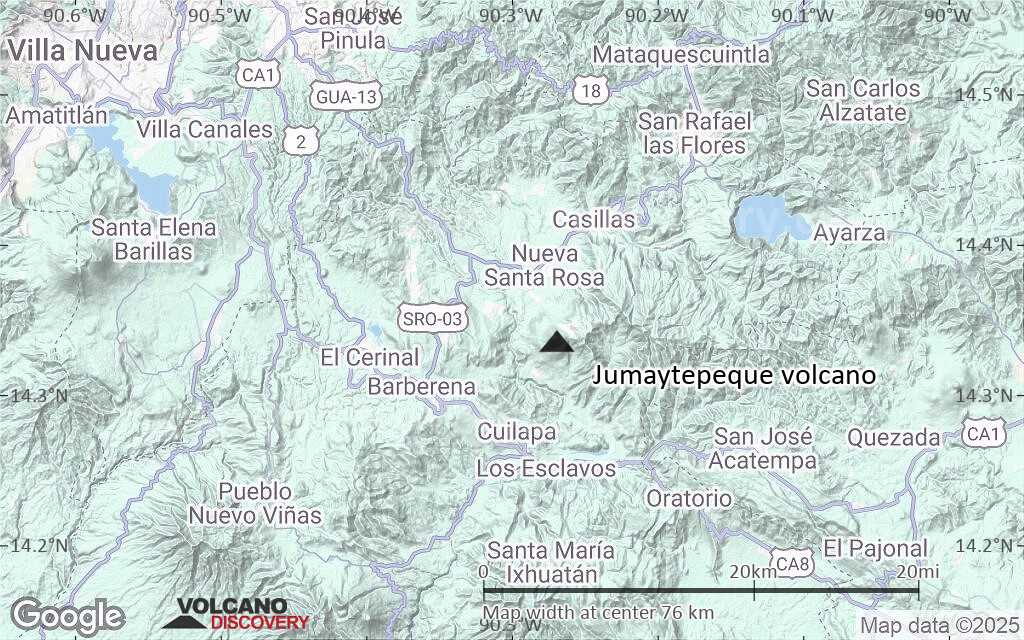
Terrain-type map of Jumaytepeque volcano (region scale large)
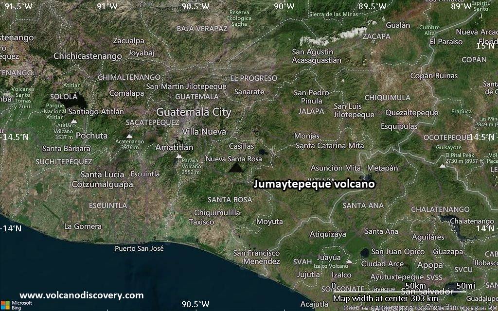
Satellite/aerial-type map of Jumaytepeque volcano (region scale medium)
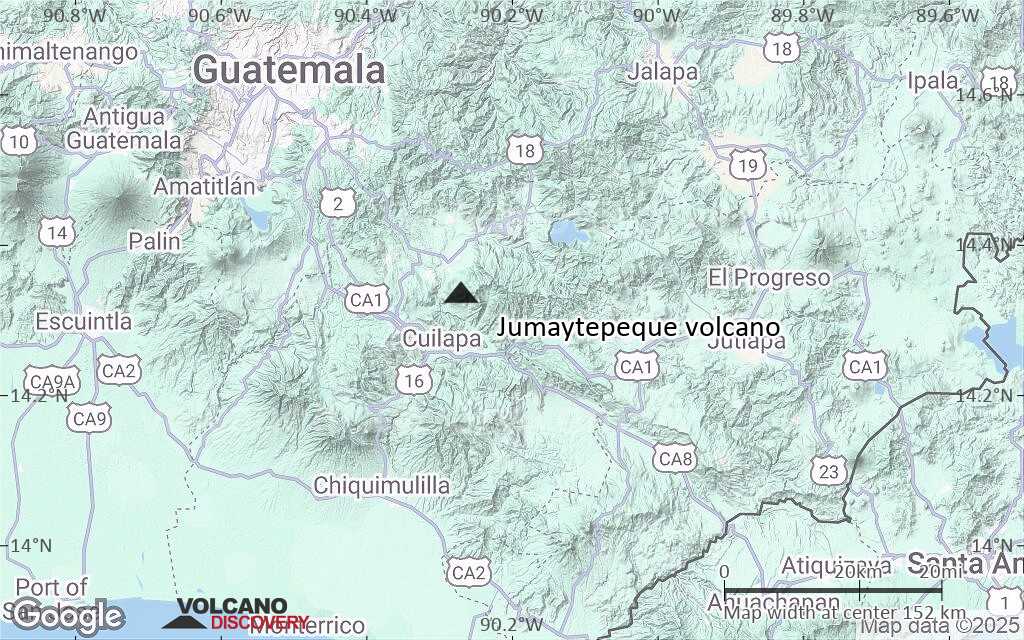
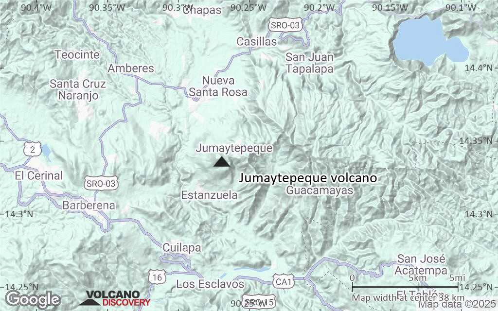
Terrain-type map of Jumaytepeque volcano (region scale medium)
Satellite/aerial-type map of Jumaytepeque volcano (region scale small)
Terrain-type map of Jumaytepeque volcano (region scale small)
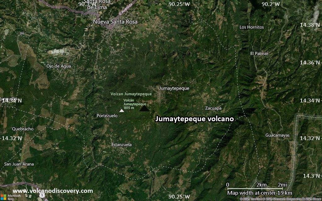
Satellite/aerial-type map of Jumaytepeque volcano (local scale large)
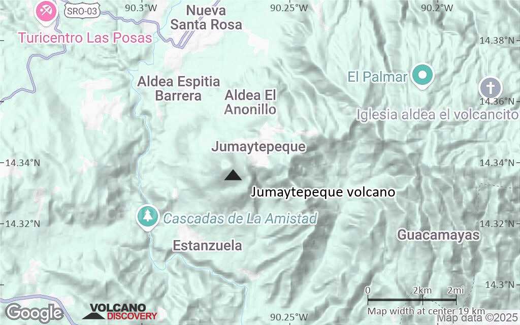
Terrain-type map of Jumaytepeque volcano (local scale large)
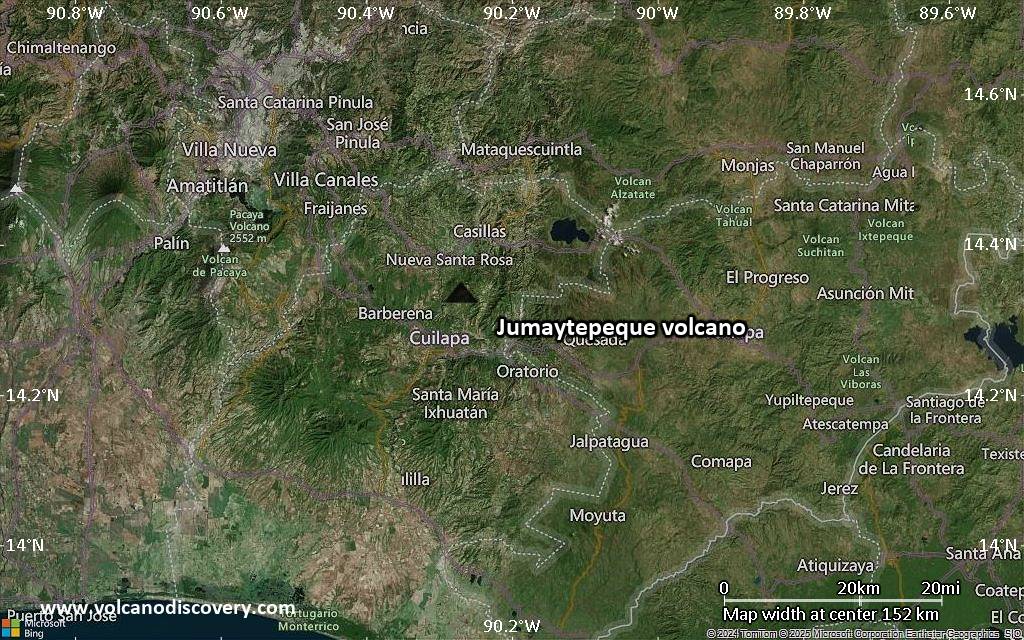
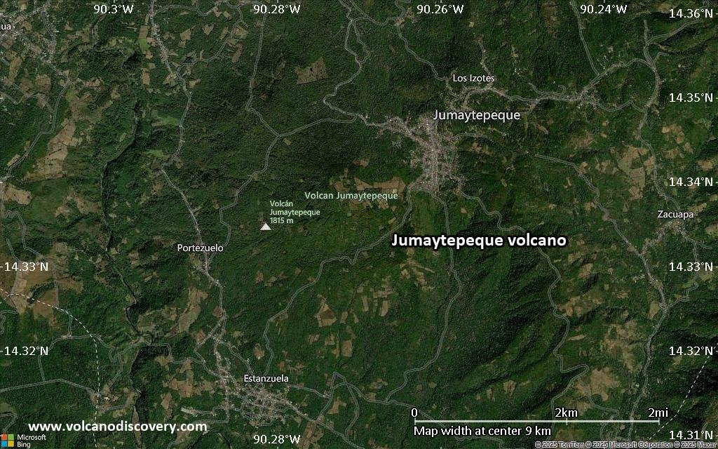
Satellite/aerial-type map of Jumaytepeque volcano (local scale medium)

Terrain-type map of Jumaytepeque volcano (local scale medium)
Satellite/aerial-type map of Jumaytepeque volcano (local scale small)
Terrain-type map of Jumaytepeque volcano (local scale small)
Satellite/aerial-type map of Jumaytepeque volcano (scale of 10s of km)
Terrain-type map of Jumaytepeque volcano (scale of 10s of km)
Satellite/aerial-type map of Jumaytepeque volcano (scale of 20-40 km)
Terrain-type map of Jumaytepeque volcano (scale of 20-40 km)
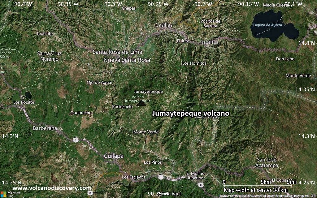
Satellite/aerial-type map of Jumaytepeque volcano (scale of approx. 10-20 km)
Terrain-type map of Jumaytepeque volcano (scale of approx. 10-20 km)
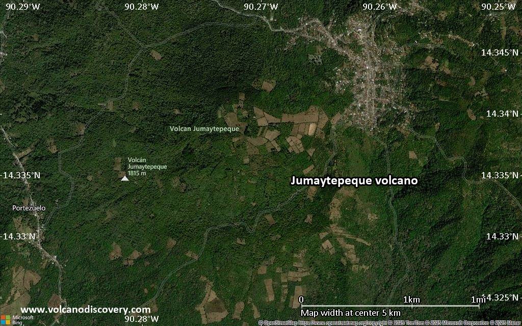
Satellite/aerial-type map of Jumaytepeque volcano (scale of 5-10 km)
Satellite/aerial-type map of Jumaytepeque volcano (scale of few kilometers)


