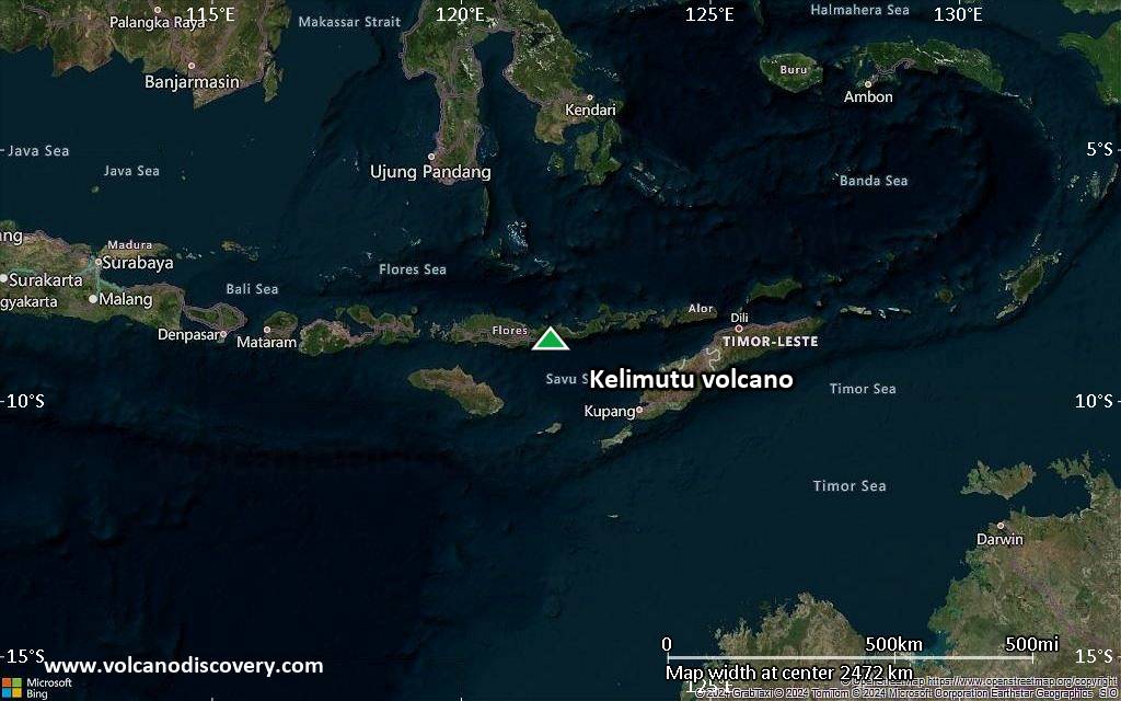
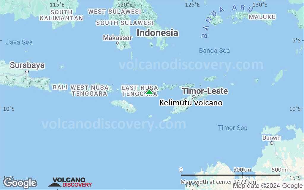
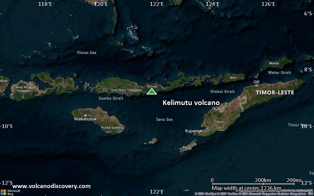
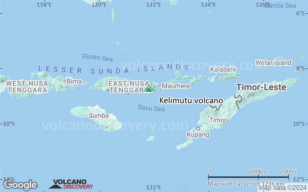
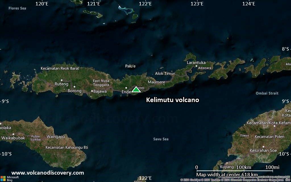
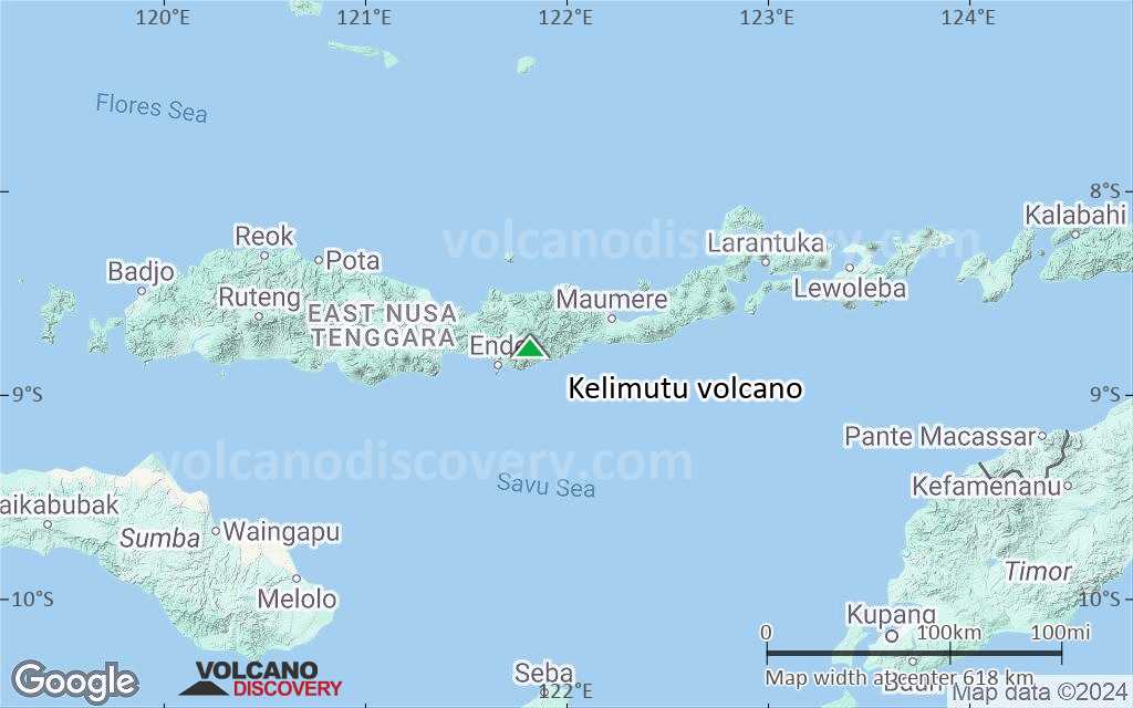
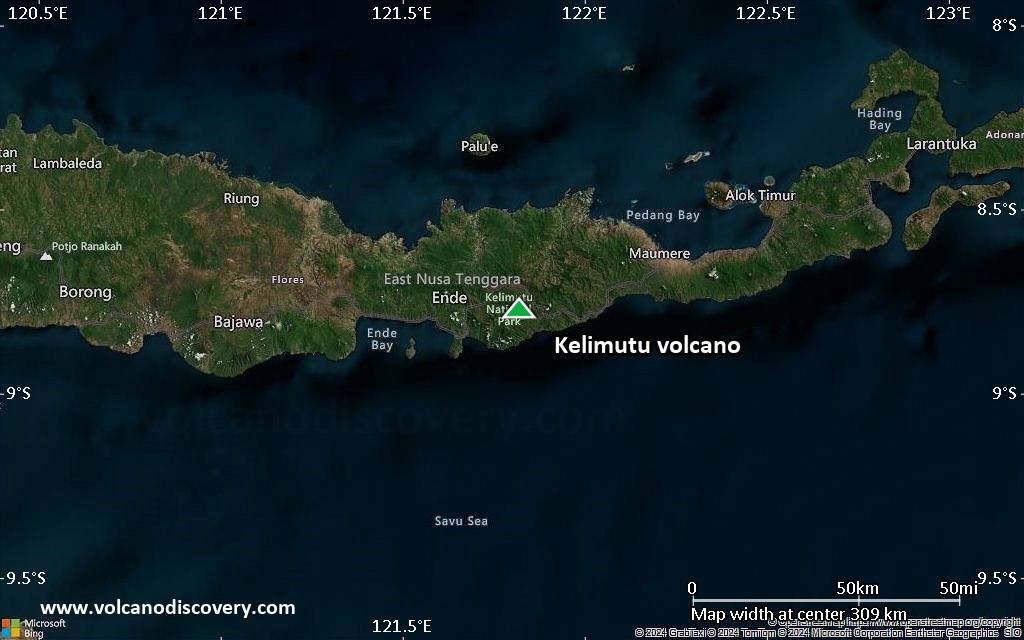
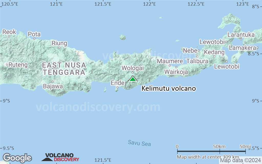
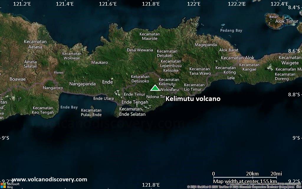
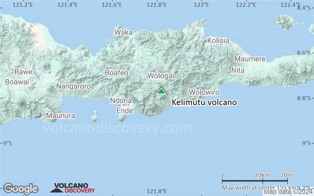
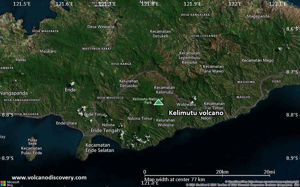
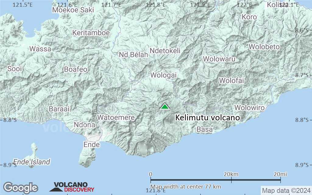
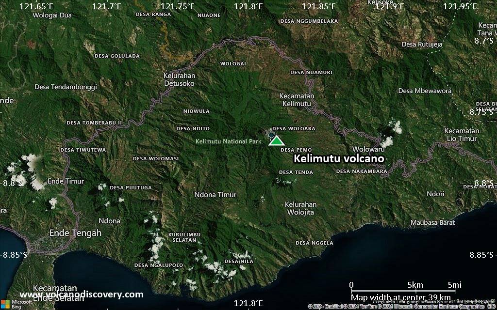
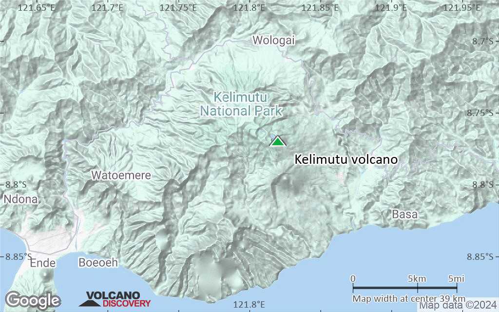
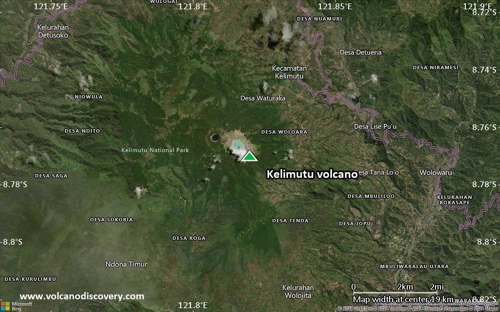
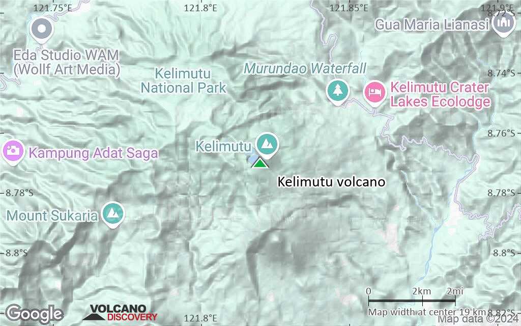
| RSS | EN | DE | EL | ES | FR | IT | RU

Kelimutu Volcano

Updated: May 4, 2025 09:11 GMT -
Complex volcano
Flores (Indonesia), -8.77°S / 121.82°E
Summit height: 1639 m / 5,377 ft
Current status: normal or dormant (1 out of 5)
Last update: 25 Sep 2024 (Smithsonian / USGS Weekly Volcanic Activity Report)

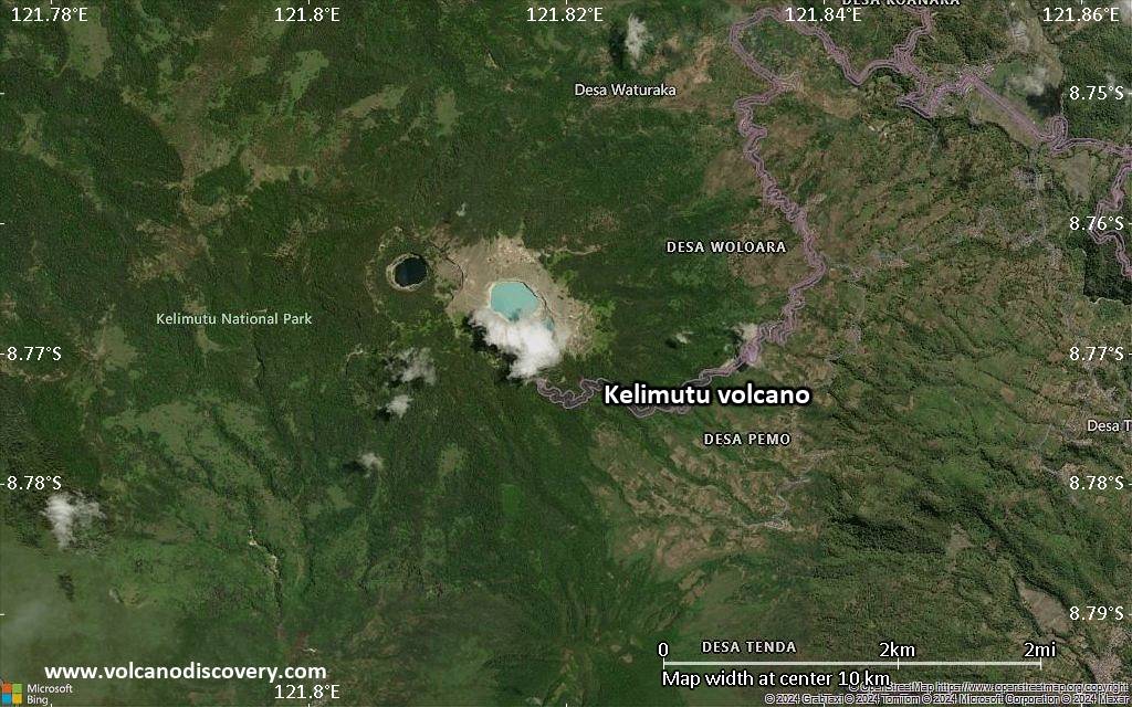
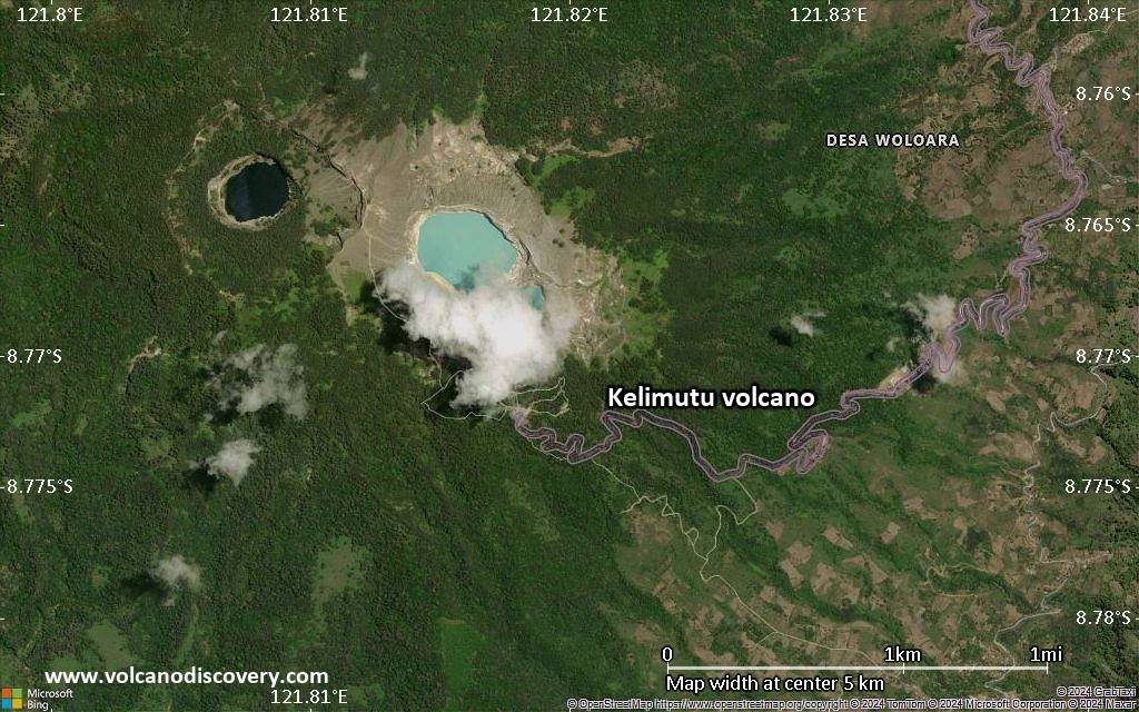
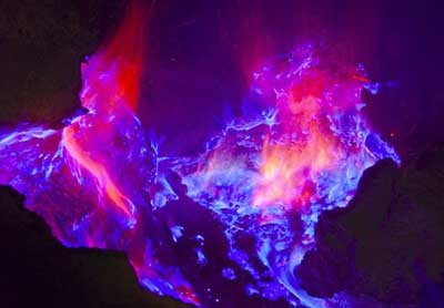
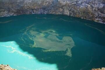
Kelimutu (Keli Mutu) volcano in central Flores, Indonesia, is famous for its 3 colorful acid crater lakes, where different salts and oxides in suspension or solution give the lakes varying colors ranging from blue and dark green to intense red. In historic times, few small phreatic explosions have been the only activity at the volcano.
The scenic craters with their lakes are popular tourist destinations.

[smaller] [larger]
Typical eruption style: Explosive
Kelimutu volcano eruptions: 1968, 1938, 1865

Latest nearby earthquakes

Date and TimeMag / DepthDistance / Location
Apr 30, 10:08 pm (GMT +8)
1.2

10 km
29 km (18 mi) to the NE Flores Region, Indonesia Info
Tuesday, April 29, 2025 GMT (1 quake)
Apr 30, 05:50 am (GMT +8)
2.8

159 km
26 km (16 mi) to the NW 23 km north of Ende, Kabupaten Ende, East Nusa Tenggara, Indonesia Info
Monday, April 21, 2025 GMT (2 quakes)
Apr 21, 01:51 pm (Universal Time)
1.6

10 km
21 km (13 mi) to the N Flores Region, Indonesia Info
Apr 21, 01:38 pm (Universal Time)
1.4

11 km
27 km (17 mi) to the NE Flores Region, Indonesia Info

Background

The western lake, Tiwi Ata Mbupu (Lake of Old People) is commonly blue. Tiwu Nua Muri Kooh Tai (Lake of Young Men and Maidens) and Tiwu Ata Polo (Bewitched, or Enchanted Lake), which share a common crater wall, are commonly green- and red-colored, respectively, although lake colors vary periodically. During the dry season reduction processes let Ba, Cu, and As minerals precipitate, in the wet season, the oxidation and precipitation of iron minerals (ferric oxide: Fe2O3) produces intense red colors.
Active upwelling occurs at the two eastern lakes and is probably fed by subaqueous fumaroles.
Kelimutu volcano is flanked by the older cones of Kelido and Kelibara 3 km to the north and 2 km to the south, respectively.
(Source: GVP)

Kelimutu Volcano Photos

Significant volcanic eruptions: Kelimutu volcano

In the past 10,000 years, Kelimutu has had at least 3 confirmed eruptions, all documented by historical records or observations.
The table below lists all known eruptions (date in bold face) of Kelimutu volcano in historic times and during the past 10,000 years. Updates on the most recent volcanic activity of Kelimutu can be found on the news page of Kelimutu volcano.
DateNoteVEIDeathsDamage
1995 May 15
(eruptive episode 1995 May 15)
Historical obs./docs.
01
Info
1968 Jun 3 - Jul 29Tiwu Nua Muri
Historical obs./docs.
1
1938 May - Jun
Historical obs./docs.
2
1865 ±5 y.
Historical obs./docs.
2
Remark:
Our list of volcanic eruptions closely follows the database of eruptions of the Smithsonian's Global Volcanism Project (GVP), the internationally most recognized data source for volcanic eruptions, but also includes significant eruptive episodes or related volcano events. "Volcanic eruptions" are usually to be understood as sequences of individual eruptive episodes that can follow each other, or even overlap (if several vents are involved), and can last many years, decades or even longer. For example, the current activity of Stromboli volcano is understood as a single eruption that has been ongoing since 1934.
Sources: NOAA National Centers for Environmental Information (NCEI), Global Significant Volcanic Eruptions Database. doi:10.7289/V5TD9V7K | Global Volcanism Project / Smithsonian Institution

Eruptions of Kelimutu volcano


1995 fatal accident & measurements of the lake
A Dutch tourist fell into Tiwu Nua Muri Kooh Tai lake and died. Rescue searchers climbed into the crater with ropes and oxygen gas masks. During their 5days unsuccessful rescue efforts, they also carried out interesting measurments of the lake. The pH of the lake was measured at 0.5, its temperature 37°C, and minor bubbling was observed at the surface. ...more info

1993 seismic unrest
Kelimutu showed increased seismic activity in February-April 1993, with 318 deep and 196 shallow earthquakes recorded.
(Source: GVP monthly activity reports)

1986 unrest - increased gas bubbling
...more info

Kelimutu Volcano FAQ

+When was the last eruption of Kelimutu volcano?

+How often does Kelimutu volcano erupt?

+How active is Kelimutu volcano at present?

+When was the largest eruption of Kelimutu volcano?

Latest satellite images

Kelimutu satellite image sat1Kelimutu satellite image sat2

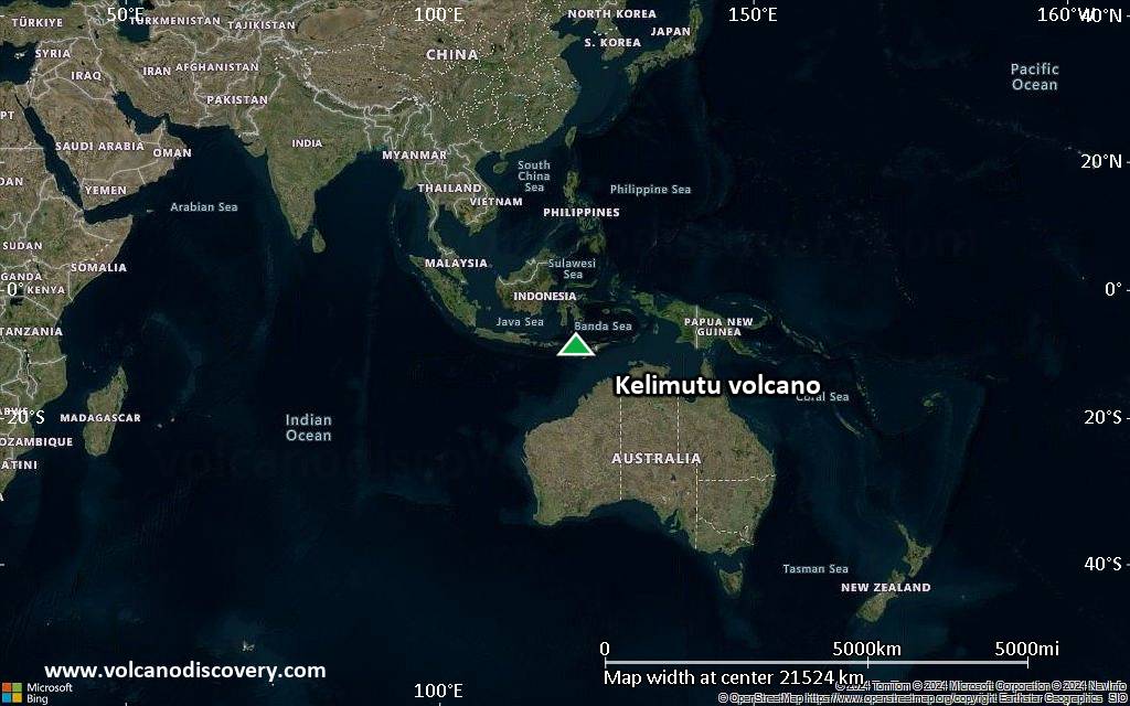
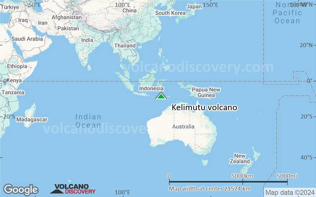
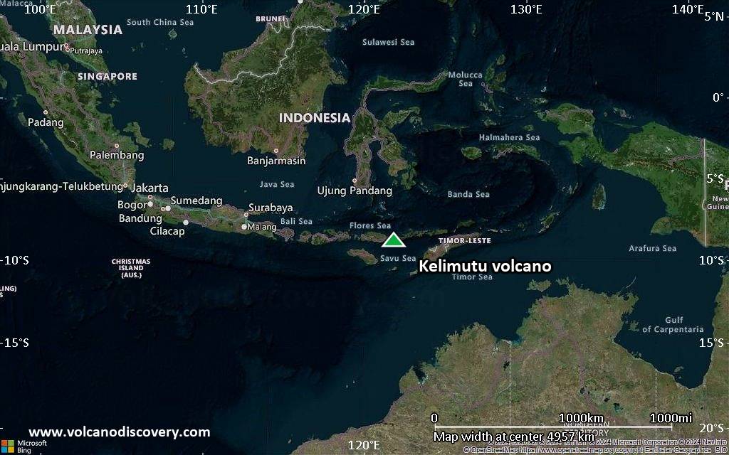
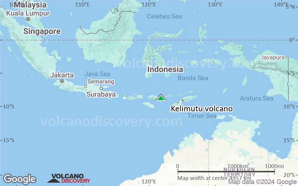
Kelimutu Volcano Maps

Below is a selection of maps showing the location and surroundings of the volcano at various resolutions based on aerial-imagery / terrain maps. Feel free to use them for non-commercial purposes on your blog or website as long as you credit them with a link back to this page (click to copy it).
Satellite/aerial-type map of Kelimutu volcano (world scale)
Terrain-type map of Kelimutu volcano (world scale)
Satellite/aerial-type map of Kelimutu volcano (region scale large)
Terrain-type map of Kelimutu volcano (region scale large)
Satellite/aerial-type map of Kelimutu volcano (region scale medium)
Terrain-type map of Kelimutu volcano (region scale medium)
Satellite/aerial-type map of Kelimutu volcano (region scale small)
Terrain-type map of Kelimutu volcano (region scale small)
Satellite/aerial-type map of Kelimutu volcano (local scale large)
Terrain-type map of Kelimutu volcano (local scale large)
Satellite/aerial-type map of Kelimutu volcano (local scale medium)
Terrain-type map of Kelimutu volcano (local scale medium)
Satellite/aerial-type map of Kelimutu volcano (local scale small)
Terrain-type map of Kelimutu volcano (local scale small)
Satellite/aerial-type map of Kelimutu volcano (scale of 10s of km)
Terrain-type map of Kelimutu volcano (scale of 10s of km)
Satellite/aerial-type map of Kelimutu volcano (scale of 20-40 km)
Terrain-type map of Kelimutu volcano (scale of 20-40 km)
Satellite/aerial-type map of Kelimutu volcano (scale of approx. 10-20 km)
Terrain-type map of Kelimutu volcano (scale of approx. 10-20 km)
Satellite/aerial-type map of Kelimutu volcano (scale of 5-10 km)
Satellite/aerial-type map of Kelimutu volcano (scale of few kilometers)
Volcanoes & Earthquakes - new app for Android
Guaranteed tours
9-25 Jun 2025: Volcanoes and Spices - Sulawesi/Halmahera (Indonesia)
7-22 Jul 2025: From Krakatau to Bali - Java (Indonesia)
7-23 Jul 2025: Volcanoes and Spices - Sulawesi/Halmahera (Indonesia)
1-17 Aug 2025: Volcanoes and Spices - Sulawesi/Halmahera (Indonesia)
1-14 Oct 2025: Desert, salt and volcanoes - Danakil desert (Ethiopia)
4-12 Oct 2025: From Stromboli to Etna - Sicily and Eolian Islands (Italy)
6-21 Oct 2025: From Krakatau to Bali - Java (Indonesia)
3-19 Nov 2025: Volcanoes and Spices - Sulawesi/Halmahera (Indonesia)
= spaces available   = guaranteed   = few spaces left   = booked out
Wed, 25 Sep 2024, 14:00

Kelimutu (Indonesia) volcano - Smithsonian / USGS Weekly Volcanic Activity Report for 18 September-24 September 2024 (Continuing Activity)

Pusat Vulkanologi dan Mitigasi Bencana Geologi (PVMBG) reported that monitoring data and comparisons of recent field observations at Kelimutu indicated decreasing activity. Bubbling along the NE coast of the lake in Crater I (Tiwu Ata Polo) was observed on both 15 and 21 September. The temperature of the lake water was 22 and 24 degrees Celsius on 15 and 21 September, respectively. ... Read all
Wed, 31 Jul 2024, 14:00

Kelimutu (Indonesia) volcano - Smithsonian / USGS Weekly Volcanic Activity Report for 24 July-30 July 2024 (New Activity / Unrest)

PVMBG reported temperature increases at all three of Kelimutu's crater lakes and water-color changes at two of them based on 14 and 28 July field observations and webcam images. The variations were most significant at Crater I (Tiwu Ata Polo). The color of the water changed from brown on 14 July to blackish brown on 28 July and the temperature increased from 19 to 22 degrees Celsius. ... Read all

On this page:

Try our free app!
Volcanoes & Earthquakes - new app for Android
Android | iOS version

More on VolcanoDiscovery

Why is there advertising on this site?

Support us - Help us upgrade our services!

We truly love working to bring you the latest volcano and earthquake data from around the world. Maintaining our website and our free apps does require, however, considerable time and resources.
We need financing to increase hard- and software capacity as well as support our editor team. We're aiming to achieve uninterrupted service wherever an earthquake or volcano eruption unfolds, and your donations can make it happen! Every donation will be highly appreciated. If you find the information useful and would like to support our team in integrating further features, write great content, and in upgrading our soft- and hardware, please make a donation (PayPal).

Planned features:Thanks to your past donations, these features have been added recently:
Download and Upgrade the Volcanoes & Earthquakes app to get one of the fastest seismic and volcano alerts online:
Android | IOS
Thank you!
Sources: VolcanoDiscovery / VolcanoAdventures and other sources as noted.
Use of material: Most text and images on our websites are owned by us. Re-use is generally not permitted without authorization. Contact us for licensing rights.
Volcanoes & Earthquakes
VolcanoDiscovery Home
Volcanoes | Earthquakes | Photos | Volcano News | | Shop | App
Adventure & Study Travel
Tours to Volcanoes and Volcanic Areas: walking tours, photo tours, study tours
Tours & Dates | FAQ | About us
Get our newsletter!
Company info
Contact | Legal info | Terms & conditions
Follow us
Follow us on facebook Follow us on Instagram Follow us on Bluesky Follow us on Twitter Visit our Youtube channel
EN | DE | EL | ES | FR | IT | RU
VolcanoDiscovery GmbH, Germany, Reg. nr.: HRB 103744, EU Tax Id: DE 297 465 123 owned and created by
Dr. Tom Pfeiffer, volcanologist, volcano photographer, tour organizer member of
IAVCEI
IAVCEI
Vulkanologische Gesellschaft
Volcanological Society
Ecotourism Greece
Ecotourism Greece
RUV insurance
Insured by R+V
VolcanoDiscovery © 2004- All Rights Reserved | Privacy - Cookie Settings