


Manengouba Volcano
Updated: Jul 7, 2025 06:52 GMT -
Stratovolcano
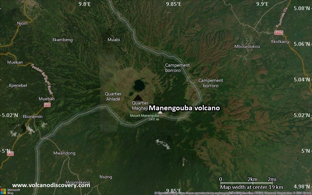
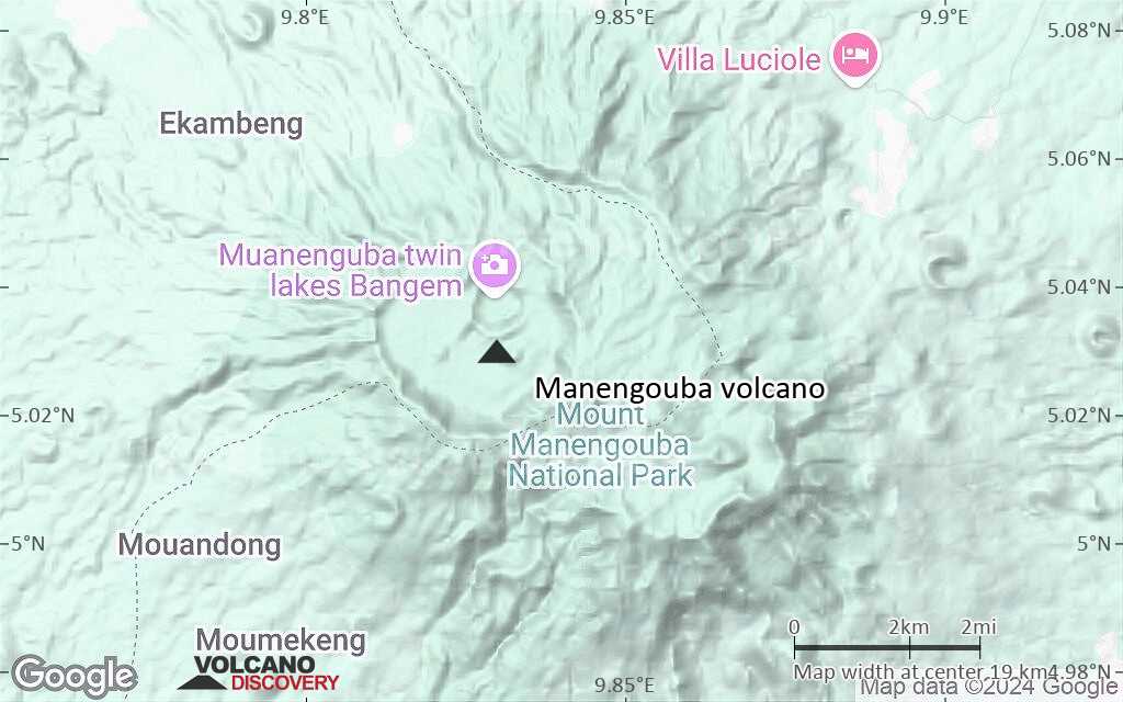
Cameroon, 5.03°N / 9.83°E 
Summit height: 2411 m / 7,910 ft
Current status: (probably) extinct (0 out of 5)
[smaller] [larger]
Manengouba volcano eruptions: unknown, no recent eruptions
Latest nearby earthquakes
| Date and Time | Mag / Depth | Distance / Location | |||
|---|---|---|---|---|---|
Background
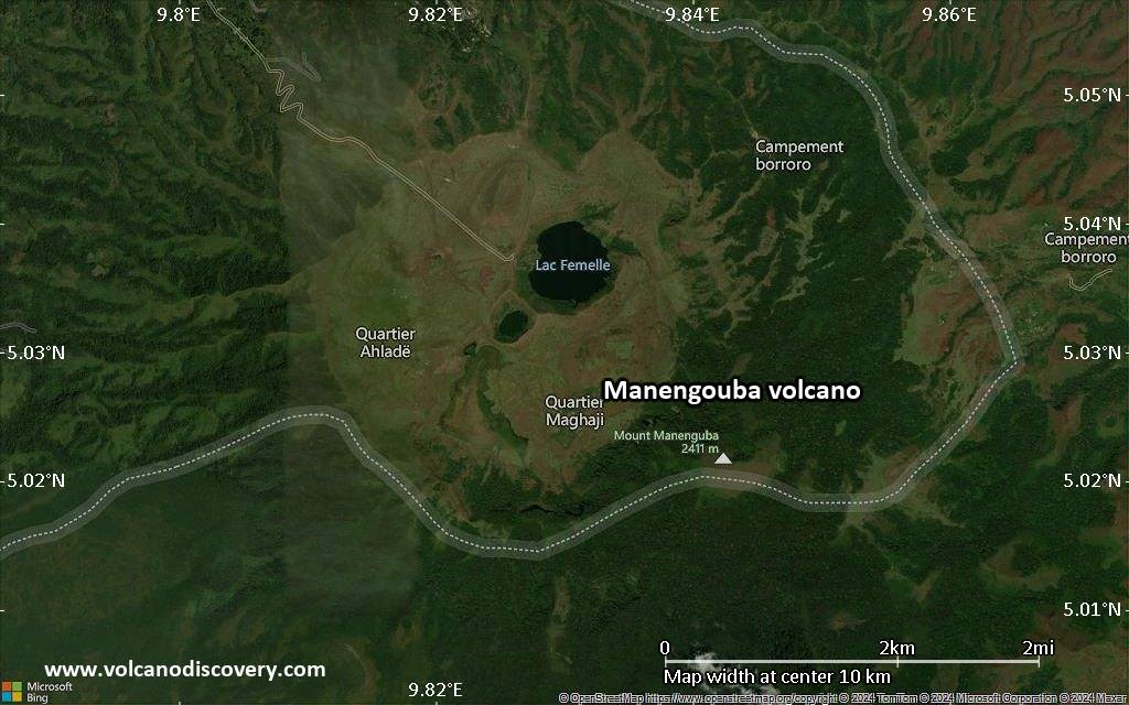
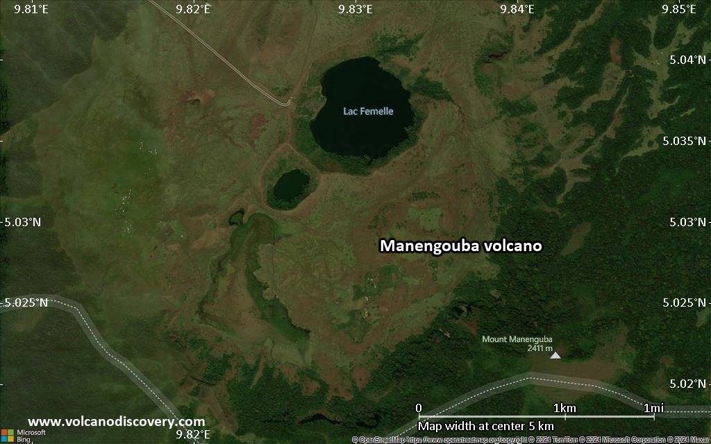
The well-preserved Manengouba stratovolcano rises to 2411 m across the Tombel Graben from Mount Cameroon and has two concentric summit calderas, Elengoum and Eboga. The older 6-km-wide Elengoum caldera is poorly defined and probably formed between about 800,000 and 600,000 years ago. Large lava flows traveled down the NE flanks from a breach on the eastern caldera rim. The younger 3-km-wide Eboga caldera is thought to have formed about 250,000 years ago. Younger volcanism of unknown age has constructed a SW-NE line of crater lakes and cinder cones across the caldera floor of the dominantly basaltic-to-trachytic volcano.---
Smithsonian / GVP volcano information
Latest satellite images

Manengouba Volcano Maps
Below is a selection of maps showing the location and surroundings of the volcano at various resolutions based on aerial-imagery / terrain maps. Feel free to use them for non-commercial purposes on your blog or website as long as you credit them with a link back to this page (click to copy it).
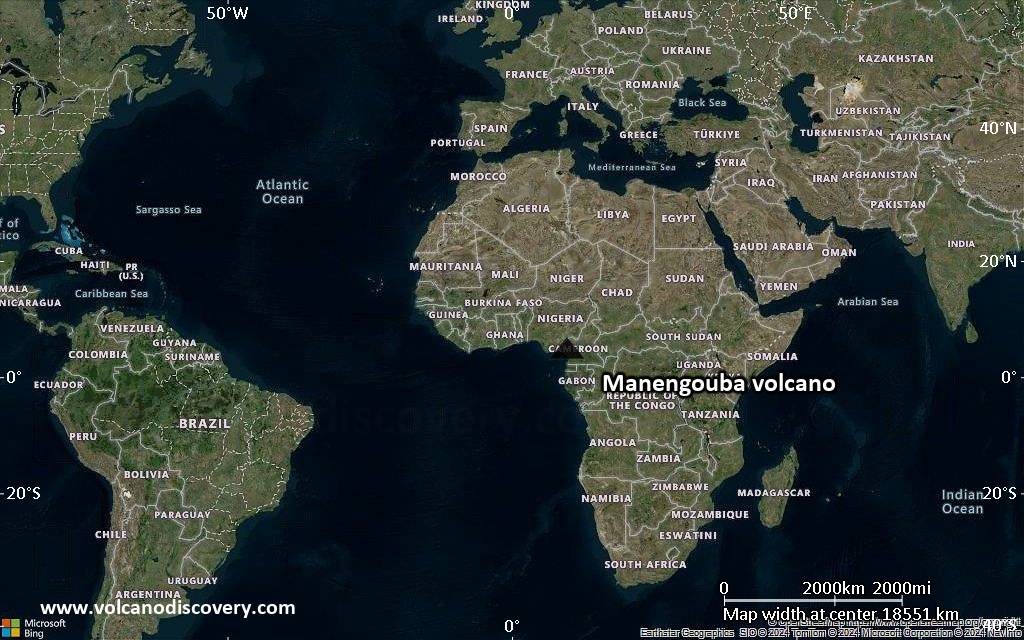
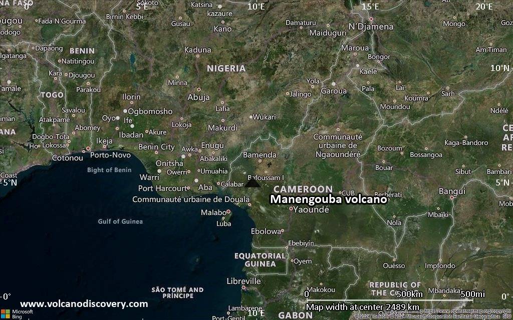
Satellite/aerial-type map of Manengouba volcano (world scale)
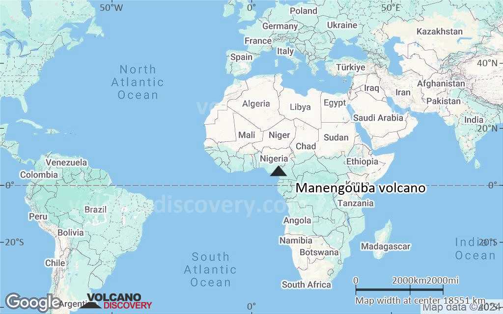
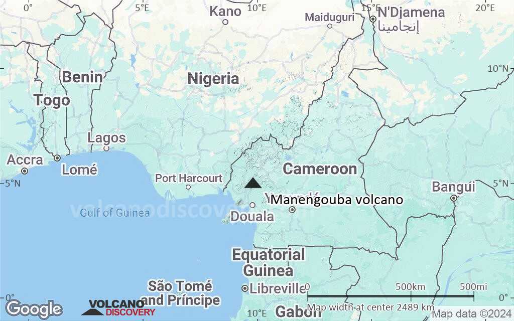
Terrain-type map of Manengouba volcano (world scale)
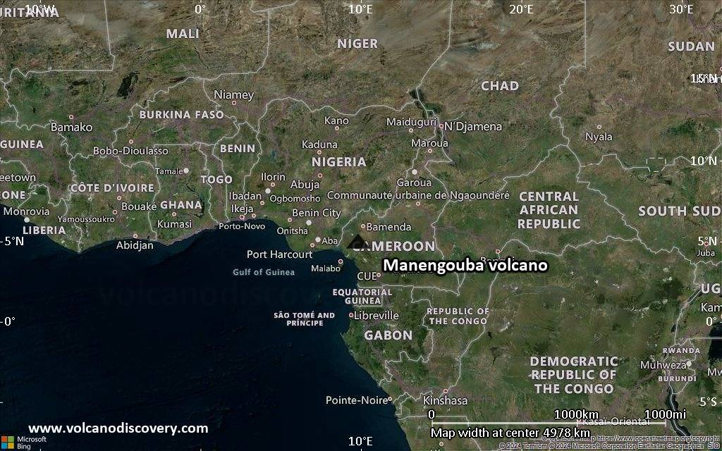
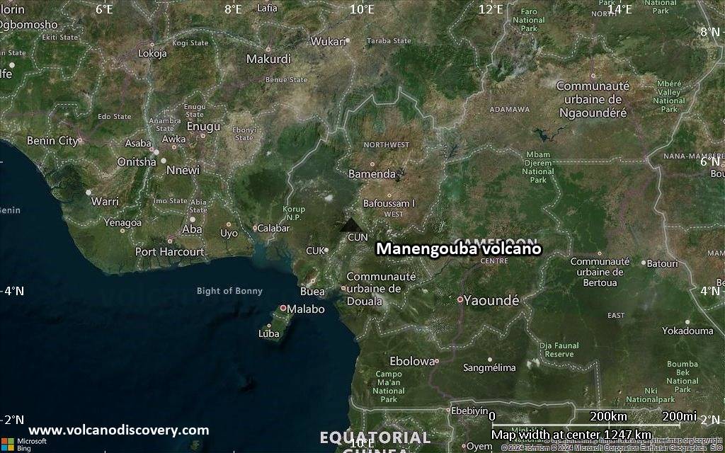
Satellite/aerial-type map of Manengouba volcano (region scale large)

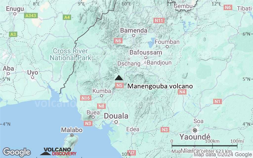
Terrain-type map of Manengouba volcano (region scale large)
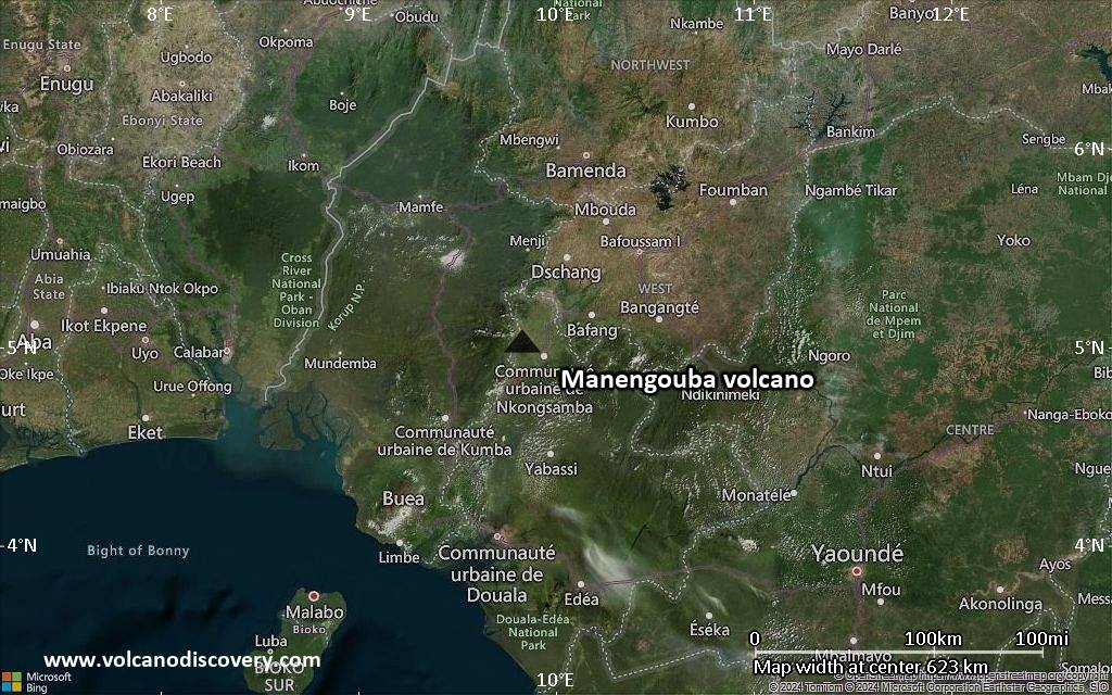
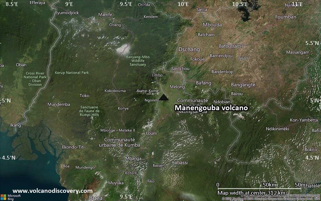
Satellite/aerial-type map of Manengouba volcano (region scale medium)
Terrain-type map of Manengouba volcano (region scale medium)
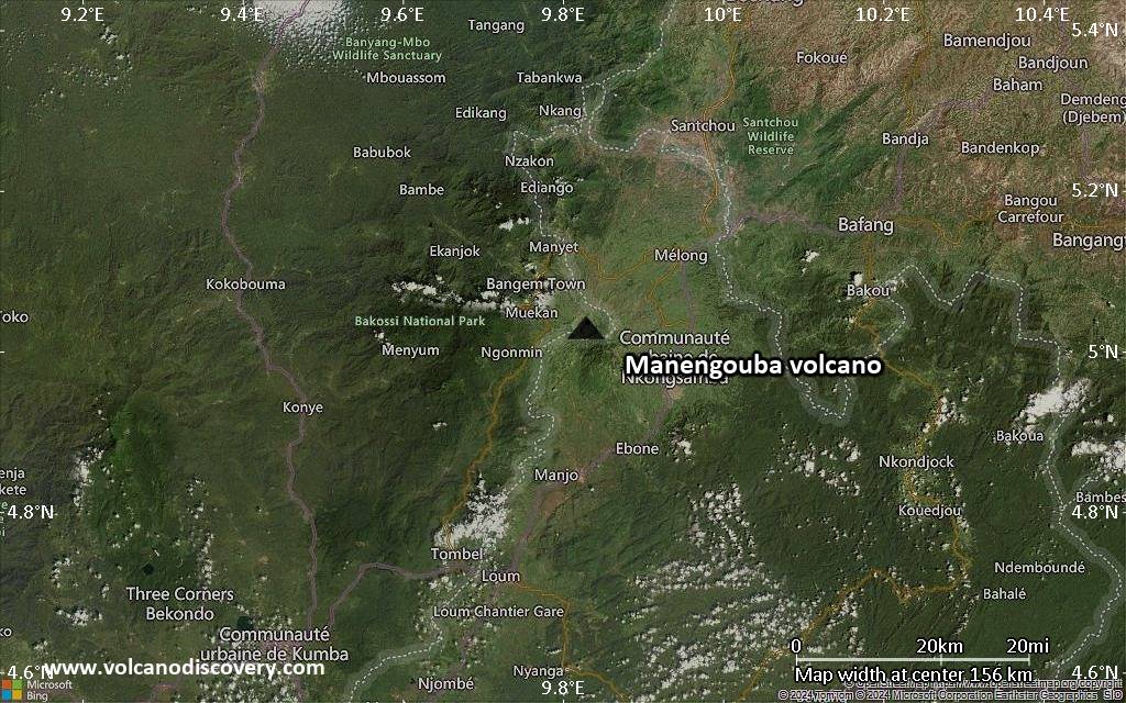
Satellite/aerial-type map of Manengouba volcano (region scale small)

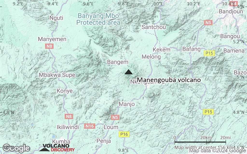
Terrain-type map of Manengouba volcano (region scale small)
Satellite/aerial-type map of Manengouba volcano (local scale large)
Terrain-type map of Manengouba volcano (local scale large)
Satellite/aerial-type map of Manengouba volcano (local scale medium)

Terrain-type map of Manengouba volcano (local scale medium)
Satellite/aerial-type map of Manengouba volcano (local scale small)
Terrain-type map of Manengouba volcano (local scale small)
Satellite/aerial-type map of Manengouba volcano (scale of 10s of km)
Terrain-type map of Manengouba volcano (scale of 10s of km)
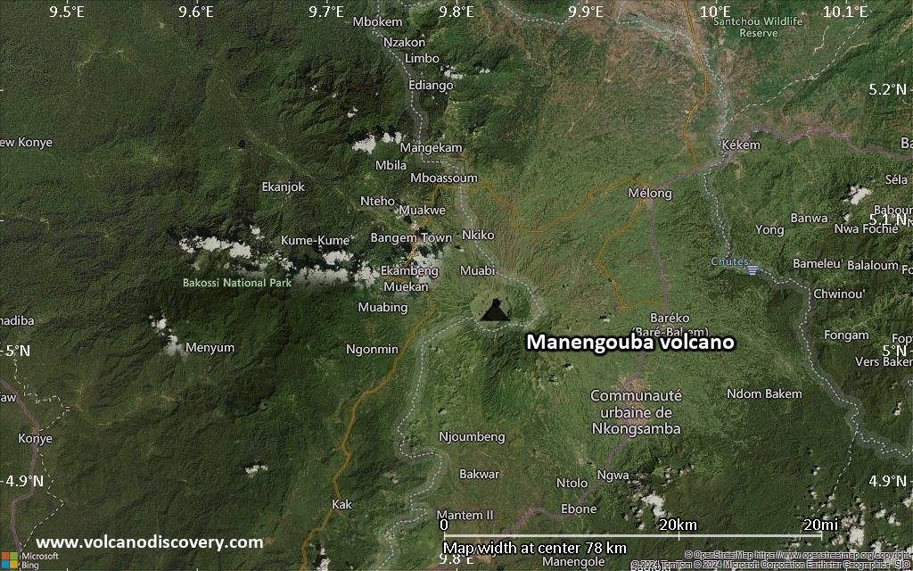
Satellite/aerial-type map of Manengouba volcano (scale of 20-40 km)
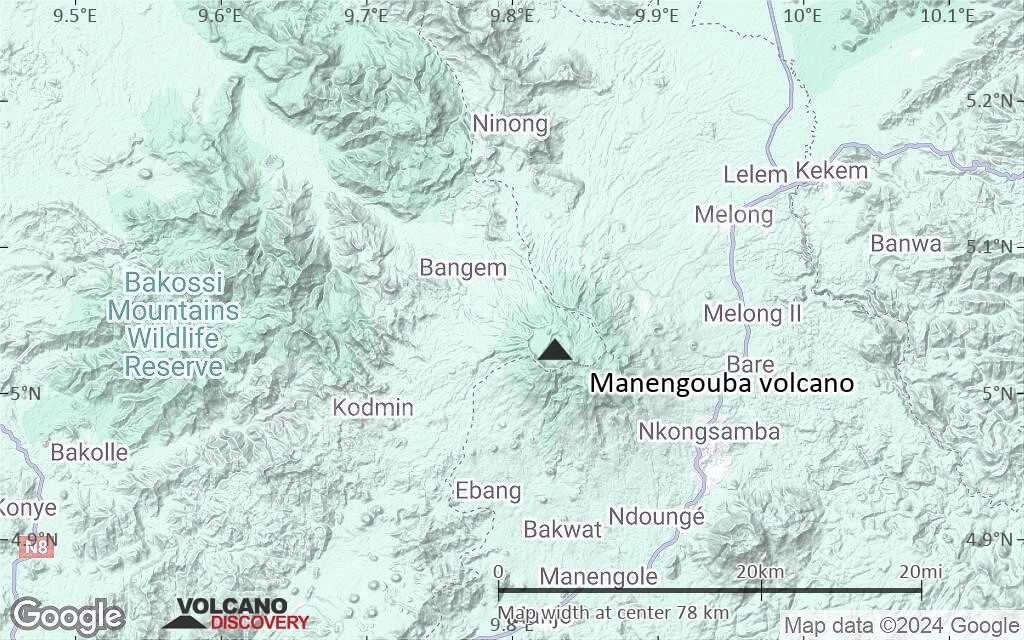
Terrain-type map of Manengouba volcano (scale of 20-40 km)
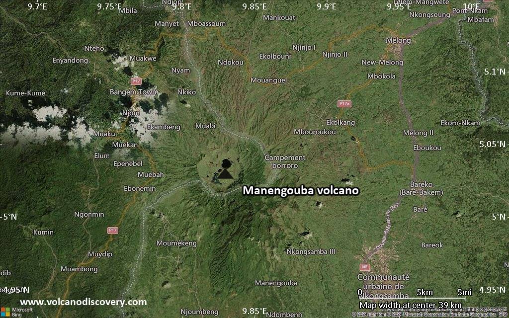
Satellite/aerial-type map of Manengouba volcano (scale of approx. 10-20 km)
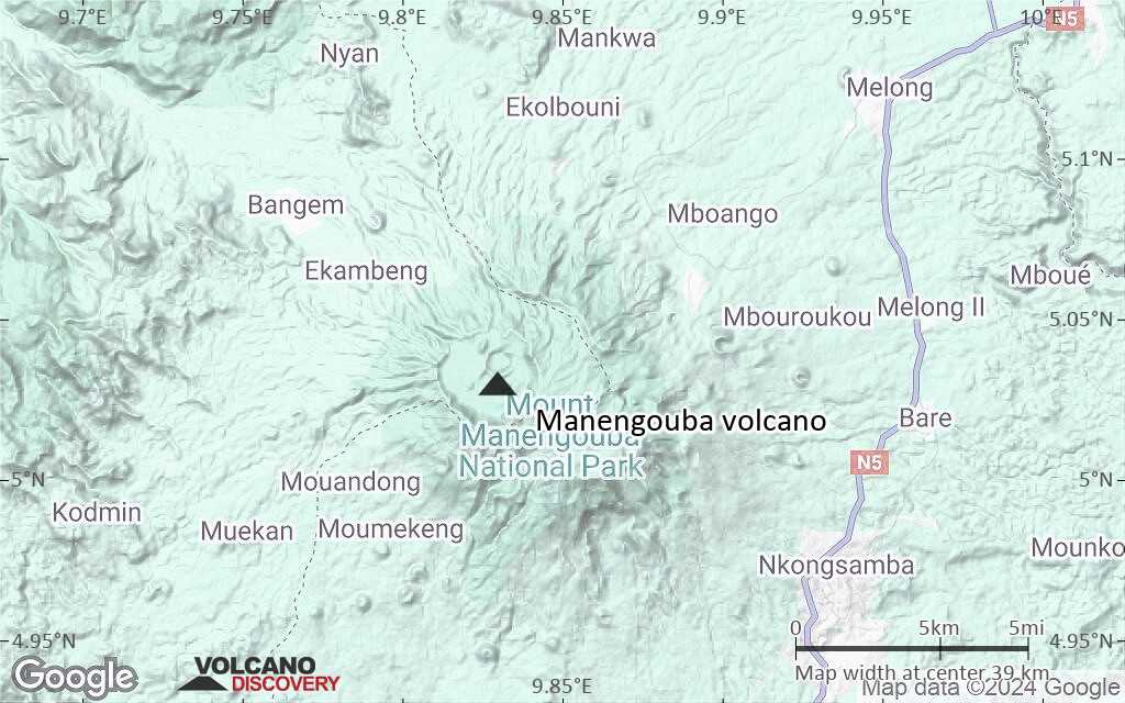
Terrain-type map of Manengouba volcano (scale of approx. 10-20 km)
Satellite/aerial-type map of Manengouba volcano (scale of 5-10 km)
Satellite/aerial-type map of Manengouba volcano (scale of few kilometers)


