


Merig Volcano
Updated: Nov 17, 2025 14:55 GMT -
Stratovolcano
Vanuatu, -14.32°S / 167.8°E 
Summit height: 125 m / 410 ft
Current status: (probably) extinct (0 out of 5)
[smaller] [larger]
Merig volcano eruptions: None during the past 10,000 years
Less than 2.58 million years ago (Pleistocene)
Latest nearby earthquakes
| Date and Time | Mag / Depth | Distance / Location | |||
|---|---|---|---|---|---|
Background
A andesite plug dated 1.1 million years ago surrounded by basaltic and andesitic breccia is all that remains above sea level on the tiny island of Merig (Macfarlane et al. 1988).---
Source: Smithsonian / GVP volcano information
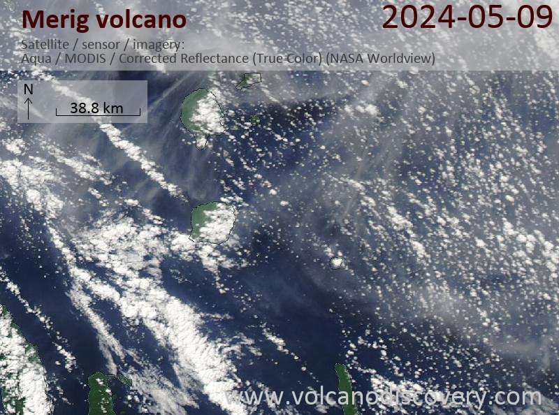
Latest satellite images
Merig Volcano Maps
Below is a selection of maps showing the location and surroundings of the volcano at various resolutions based on aerial-imagery / terrain maps. Feel free to use them for non-commercial purposes on your blog or website as long as you credit them with a link back to this page (click to copy it).

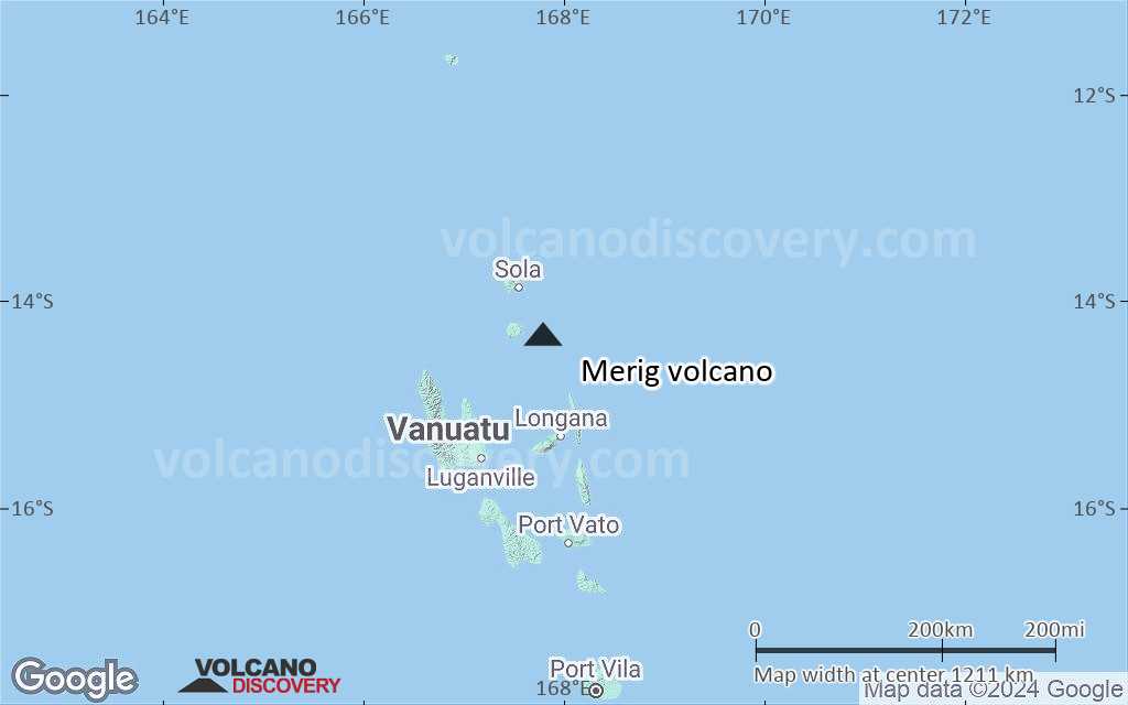
Satellite/aerial-type map of Merig volcano (world scale)

Terrain-type map of Merig volcano (world scale)

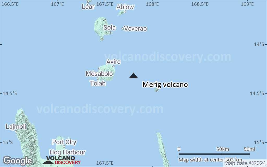
Satellite/aerial-type map of Merig volcano (region scale large)

Terrain-type map of Merig volcano (region scale large)

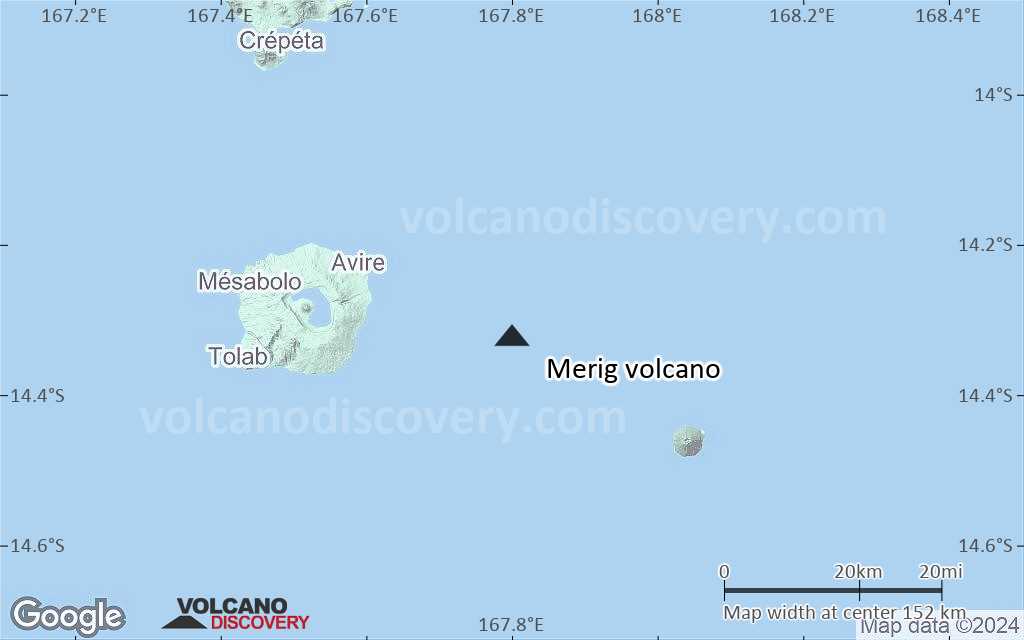
Satellite/aerial-type map of Merig volcano (region scale medium)

Terrain-type map of Merig volcano (region scale medium)

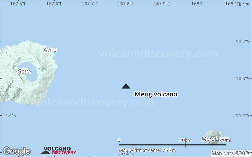
Satellite/aerial-type map of Merig volcano (region scale small)
Terrain-type map of Merig volcano (region scale small)

Satellite/aerial-type map of Merig volcano (local scale large)

Terrain-type map of Merig volcano (local scale large)

Satellite/aerial-type map of Merig volcano (local scale medium)
Terrain-type map of Merig volcano (local scale medium)

Satellite/aerial-type map of Merig volcano (local scale small)
Terrain-type map of Merig volcano (local scale small)

Satellite/aerial-type map of Merig volcano (scale of 10s of km)
Terrain-type map of Merig volcano (scale of 10s of km)

Satellite/aerial-type map of Merig volcano (scale of 20-40 km)

Terrain-type map of Merig volcano (scale of 20-40 km)

Satellite/aerial-type map of Merig volcano (scale of approx. 10-20 km)

Terrain-type map of Merig volcano (scale of approx. 10-20 km)

Satellite/aerial-type map of Merig volcano (scale of 5-10 km)

Satellite/aerial-type map of Merig volcano (scale of few kilometers)


