


Niuafo'ou Volcano
Updated: May 11, 2025 17:36 GMT -
Shield volcano
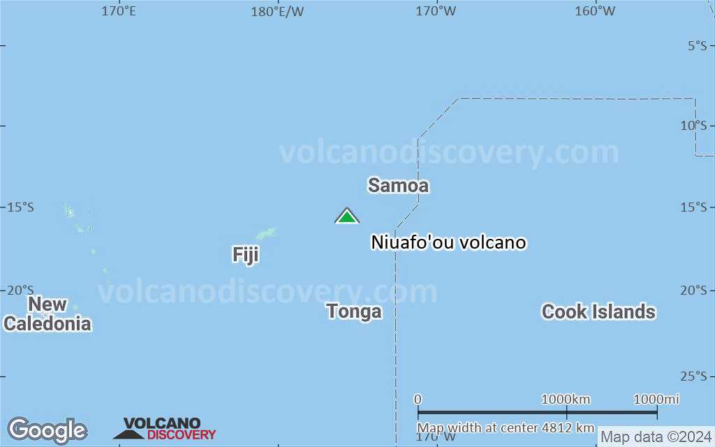
Tonga, Tonga Islands, -15.6°S / -175.63°W 
Summit height: 260 m / 853 ft
Current status: normal or dormant (1 out of 5)
[smaller] [larger]
Niuafo'ou volcano eruptions: 1985
Latest nearby earthquakes
| Date and Time | Mag / Depth | Distance / Location | |||
|---|---|---|---|---|---|
Background
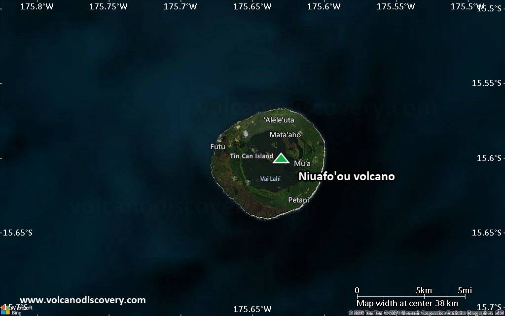
Niuafo'ou ("Tin Can Island") is a low, 8-km-wide island that forms the summit of a largely submerged basaltic shield volcano. Niuafo'ou is an isolated volcanic island in the north central Lau Basin about 170 km west of the northern end of the Tofua volcanic arc. The circular island encloses a 5-km-wide caldera that is mostly filled by a lake whose bottom extends to below sea level. The inner walls of the caldera drop sharply to the caldera lake, named Big Lake (or Vai Lahi), which contains several small islands and pyroclastic cones on its NE shore. Historical eruptions, mostly from circumferential fissures on the west-to-south side of the island, have been recorded since 1814 and have often damaged villages on this small ring-shaped island. A major eruption at Niuafo'ou in 1946 forced evacuation of most of its 1200 inhabitants.---
Smithsonian / GVP volcano information
Significant volcanic eruptions: Niuafo'ou volcano
In the past 10,000 years, Niuafo'ou has had at least 8 confirmed eruptions, all documented by historical records or observations.
Additionally, there are 6 uncertain or discredited eruptions from Niuafo'ou volcano.
Additionally, there are 6 uncertain or discredited eruptions from Niuafo'ou volcano.
The table below lists all known eruptions (date in bold face) of Niuafo'ou volcano in historic times and during the past 10,000 years. Updates on the most recent volcanic activity of Niuafo'ou can be found on the news page of Niuafo'ou volcano.
| Date | Note | VEI | Deaths | Damage | ||
|---|---|---|---|---|---|---|
?? | Uncertain Eruption Historical obs./docs. | ? | ||||
?? | Uncertain Eruption | ? | ||||
?? | Uncertain Eruption | ? | ||||
| North flank Historical obs./docs. | 2 | |||||
| SW flank Historical obs./docs. | 2 | |||||
| South flank Historical obs./docs. | 2 | |||||
| West flank Historical obs./docs. | 2 | |||||
| West side, near Alele 'Uta village Historical obs./docs. | 2 | |||||
?? | Uncertain Eruption Historical obs./docs. | 2 | ||||
| NE side of caldera Historical obs./docs. | 4? | |||||
| 1886 Aug 31 (eruption | Historical obs./docs. | 4 | 1-50 (*) | Info | ||
| SSW flank Historical obs./docs. | 1 | |||||
| SW caldera rim (Ahau village area) Historical obs./docs. | ? | |||||
Historical obs./docs. | 0 | 25 | Info | |||
Discredited Eruption | ||||||
?? | Uncertain Eruption Historical obs./docs. | 2 | ||||
(*) Estimated numbers
Remark:
Our list of volcanic eruptions closely follows the database of eruptions of the Smithsonian's Global Volcanism Project (GVP), the internationally most recognized data source for volcanic eruptions, but also includes significant eruptive episodes or related volcano events. "Volcanic eruptions" are usually to be understood as sequences of individual eruptive episodes that can follow each other, or even overlap (if several vents are involved), and can last many years, decades or even longer. For example, the current activity of Stromboli volcano is understood as a single eruption that has been ongoing since 1934.
Sources: NOAA National Centers for Environmental Information (NCEI), Global Significant Volcanic Eruptions Database. doi:10.7289/V5TD9V7K | Global Volcanism Project / Smithsonian Institution
Niuafo'ou Volcano FAQ
+When was the last eruption of Niuafo'ou volcano?
The last confirmed eruption of Niuafo'ou occurred in 1946.
+How often does Niuafo'ou volcano erupt?
Since 1853, Niuafo'ou volcano has had at least 8 historically documented eruptions. This means that it erupts on average every 21.5 years.
+How active is Niuafo'ou volcano at present?
Niuafo'ou volcano is occasionally active: Since 1900, it has had 6 eruptions, and been active during 6 years out of 126 as of now. This means, Niuafo'ou has been in eruption one in 21 years on average. The last eruption was in 1946 and ended 79 years ago.
+When was the largest eruption of Niuafo'ou volcano?
The largest eruption of Niuafo'ou volcano in historic times occurred in 1886. It ranks as a sub-plinian eruption with a magnitude 4 on the VEI (Volcanic Explosivity Index) scale.
Latest satellite images

Niuafo'ou Volcano Maps
Below is a selection of maps showing the location and surroundings of the volcano at various resolutions based on aerial-imagery / terrain maps. Feel free to use them for non-commercial purposes on your blog or website as long as you credit them with a link back to this page (click to copy it).
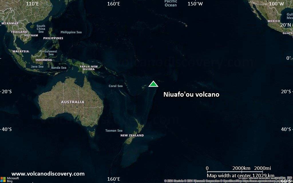
Satellite/aerial-type map of Niuafo'ou volcano (world scale)
Terrain-type map of Niuafo'ou volcano (world scale)
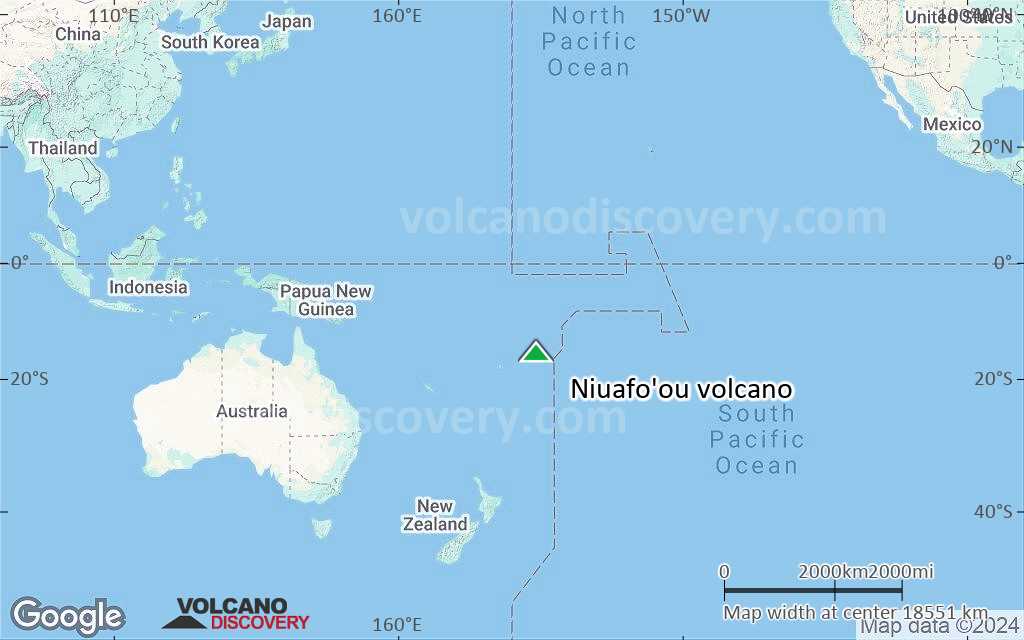
Satellite/aerial-type map of Niuafo'ou volcano (region scale large)
Terrain-type map of Niuafo'ou volcano (region scale large)

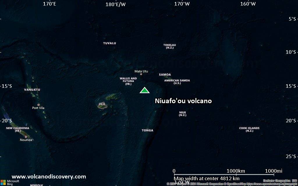
Satellite/aerial-type map of Niuafo'ou volcano (region scale medium)

Terrain-type map of Niuafo'ou volcano (region scale medium)

Satellite/aerial-type map of Niuafo'ou volcano (region scale small)

Terrain-type map of Niuafo'ou volcano (region scale small)

Satellite/aerial-type map of Niuafo'ou volcano (local scale large)

Terrain-type map of Niuafo'ou volcano (local scale large)

Satellite/aerial-type map of Niuafo'ou volcano (local scale medium)

Terrain-type map of Niuafo'ou volcano (local scale medium)

Satellite/aerial-type map of Niuafo'ou volcano (local scale small)

Terrain-type map of Niuafo'ou volcano (local scale small)

Satellite/aerial-type map of Niuafo'ou volcano (scale of 10s of km)

Terrain-type map of Niuafo'ou volcano (scale of 10s of km)
Satellite/aerial-type map of Niuafo'ou volcano (scale of 20-40 km)

Terrain-type map of Niuafo'ou volcano (scale of 20-40 km)

Satellite/aerial-type map of Niuafo'ou volcano (scale of approx. 10-20 km)

Terrain-type map of Niuafo'ou volcano (scale of approx. 10-20 km)

Satellite/aerial-type map of Niuafo'ou volcano (scale of 5-10 km)

Satellite/aerial-type map of Niuafo'ou volcano (scale of few kilometers)


