


Ostanets Volcano
Updated: Jun 5, 2025 07:54 GMT -
Shield volcanoes
Kamchatka, Russia, 52.15°N / 157.32°E 
Summit height: 719 m / 2,359 ft
Current status: normal or dormant (1 out of 5)
[smaller] [larger]
Ostanets volcano eruptions: unknown, no recent eruptions
Latest nearby earthquakes
| Date and Time | Mag / Depth | Distance / Location | |||
|---|---|---|---|---|---|
| May 28, 03:32 pm (Kamchatka) | 2.6 21 km | 24 km (15 mi) to the SE | Info | ||
| Monday, May 26, 2025 GMT (1 quake) | |||||
| May 26, 02:47 pm (Kamchatka) | 2.5 132 km | 29 km (18 mi) to the SE | Info | ||
Background
The Holocene Ostanets shield volcano (Masurenkov, 1980), located south of the Pleistocene Savan volcano, is surrounded by a large group of late-Pleistocene to Holocene cinder cones. Small pyroclastic cone groups also occur north and east of Igolki volcano, which is located about 30 km SW of Savan volcano.---
Smithsonian / GVP volcano information
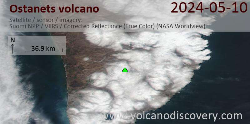
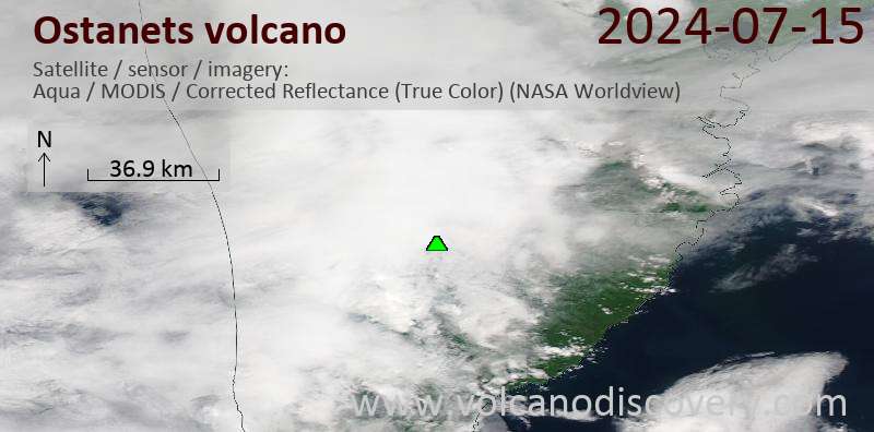
Latest satellite images
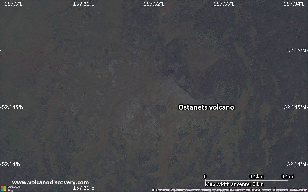
Ostanets Volcano Maps
Below is a selection of maps showing the location and surroundings of the volcano at various resolutions based on aerial-imagery / terrain maps. Feel free to use them for non-commercial purposes on your blog or website as long as you credit them with a link back to this page (click to copy it).

Satellite/aerial-type map of Ostanets volcano (world scale)

Terrain-type map of Ostanets volcano (world scale)

Satellite/aerial-type map of Ostanets volcano (region scale large)

Terrain-type map of Ostanets volcano (region scale large)

Satellite/aerial-type map of Ostanets volcano (region scale medium)

Terrain-type map of Ostanets volcano (region scale medium)

Satellite/aerial-type map of Ostanets volcano (region scale small)

Terrain-type map of Ostanets volcano (region scale small)

Satellite/aerial-type map of Ostanets volcano (local scale large)

Terrain-type map of Ostanets volcano (local scale large)

Satellite/aerial-type map of Ostanets volcano (local scale medium)

Terrain-type map of Ostanets volcano (local scale medium)

Satellite/aerial-type map of Ostanets volcano (local scale small)

Terrain-type map of Ostanets volcano (local scale small)

Satellite/aerial-type map of Ostanets volcano (scale of 10s of km)

Terrain-type map of Ostanets volcano (scale of 10s of km)

Satellite/aerial-type map of Ostanets volcano (scale of 20-40 km)

Terrain-type map of Ostanets volcano (scale of 20-40 km)

Satellite/aerial-type map of Ostanets volcano (scale of approx. 10-20 km)

Terrain-type map of Ostanets volcano (scale of approx. 10-20 km)

Satellite/aerial-type map of Ostanets volcano (scale of 5-10 km)
Satellite/aerial-type map of Ostanets volcano (scale of few kilometers)


