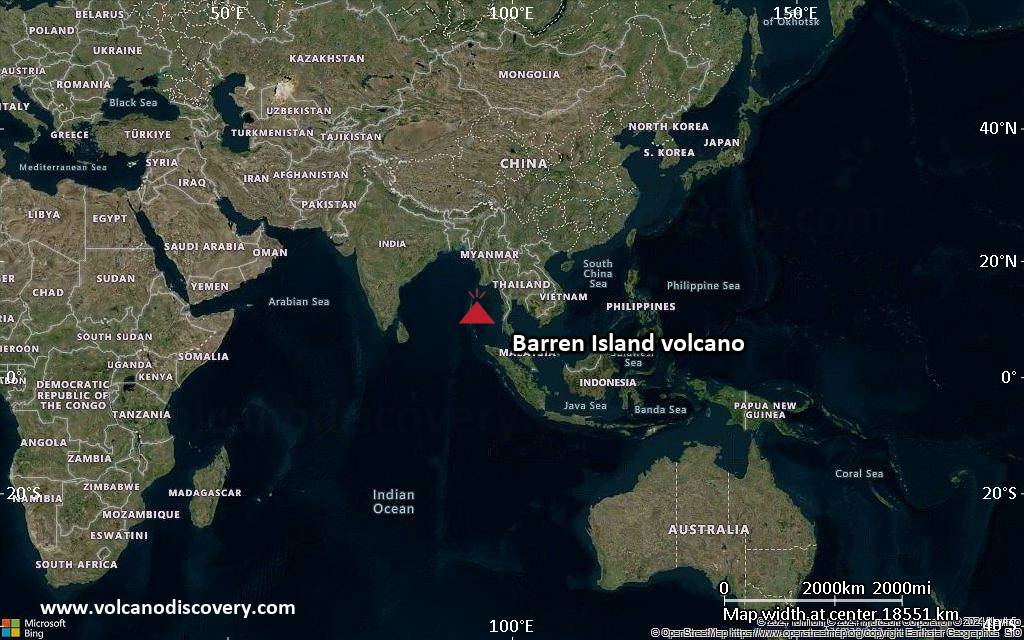
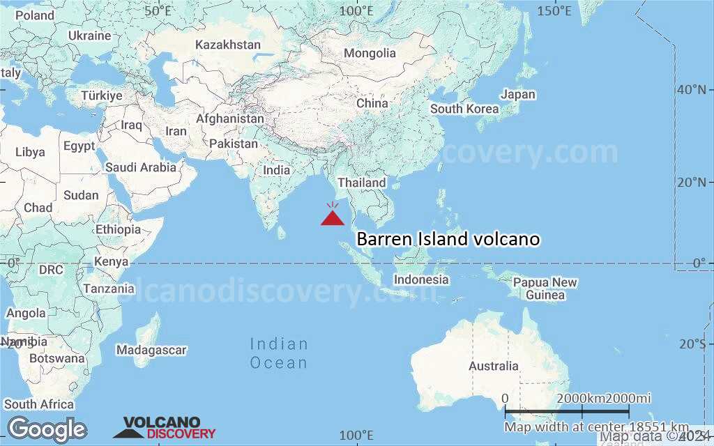
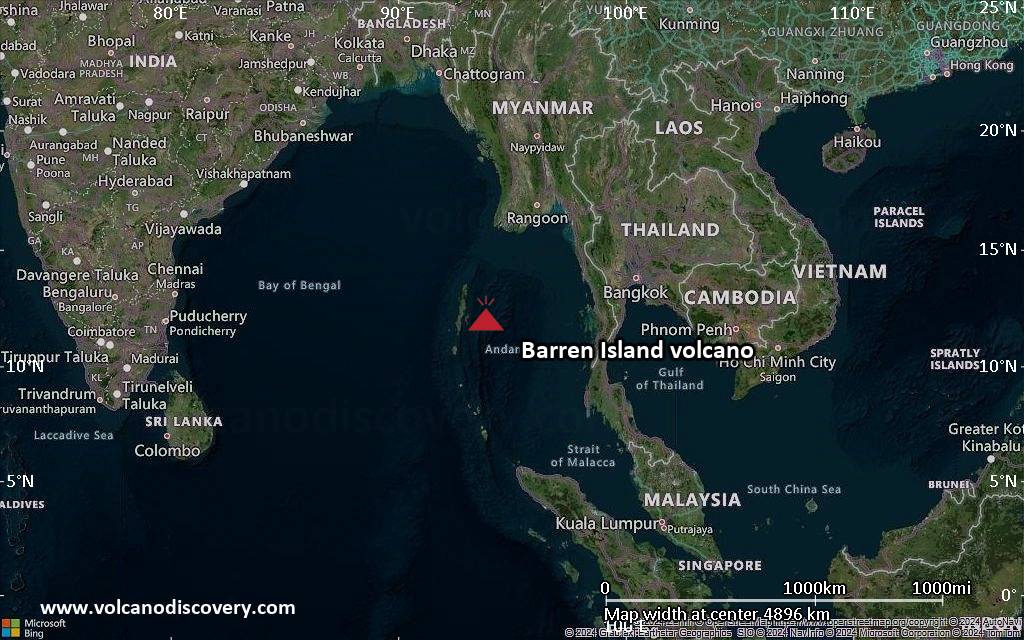
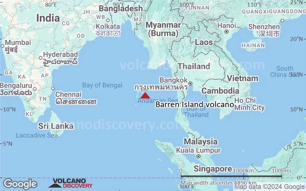
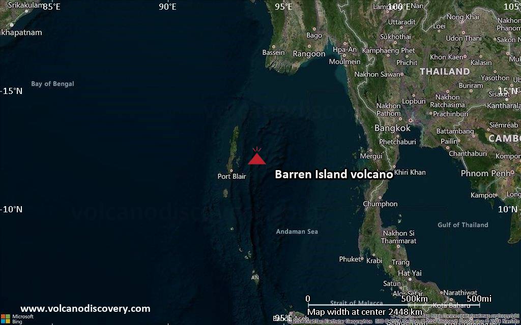
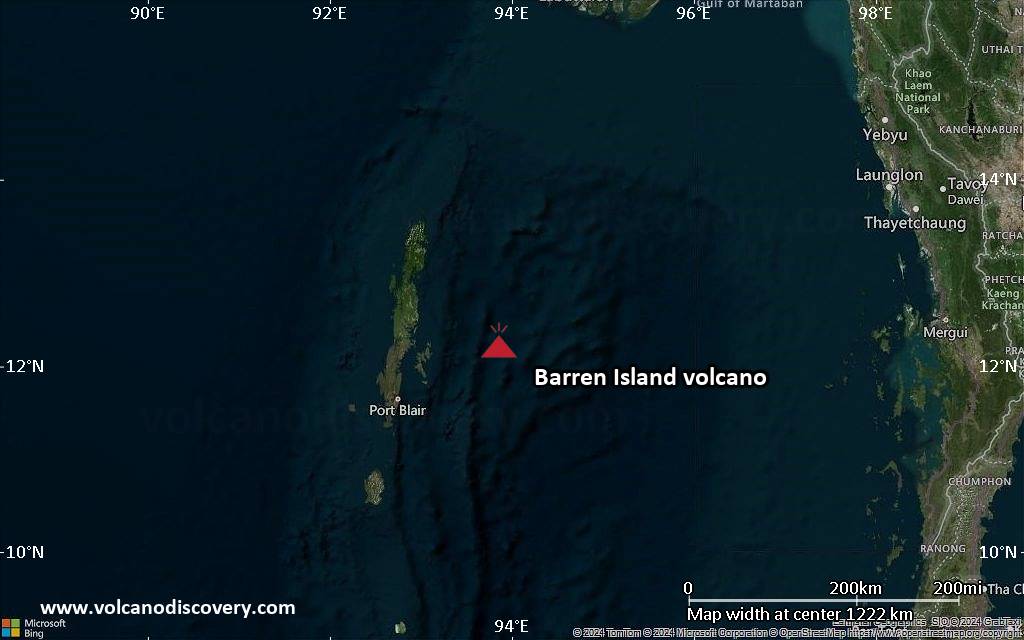
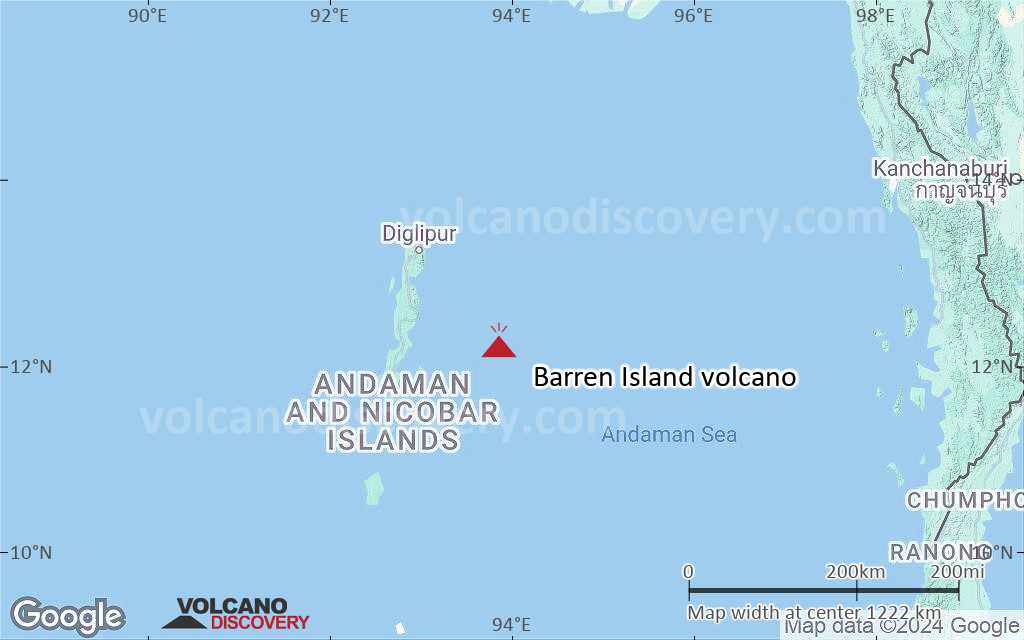
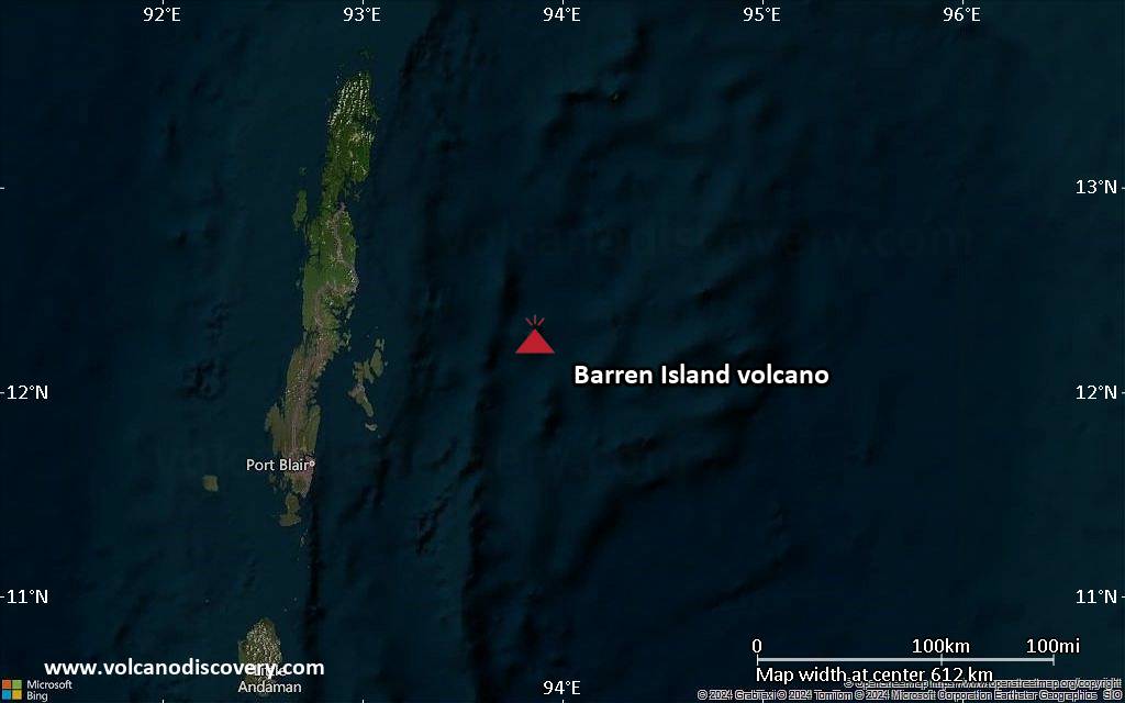
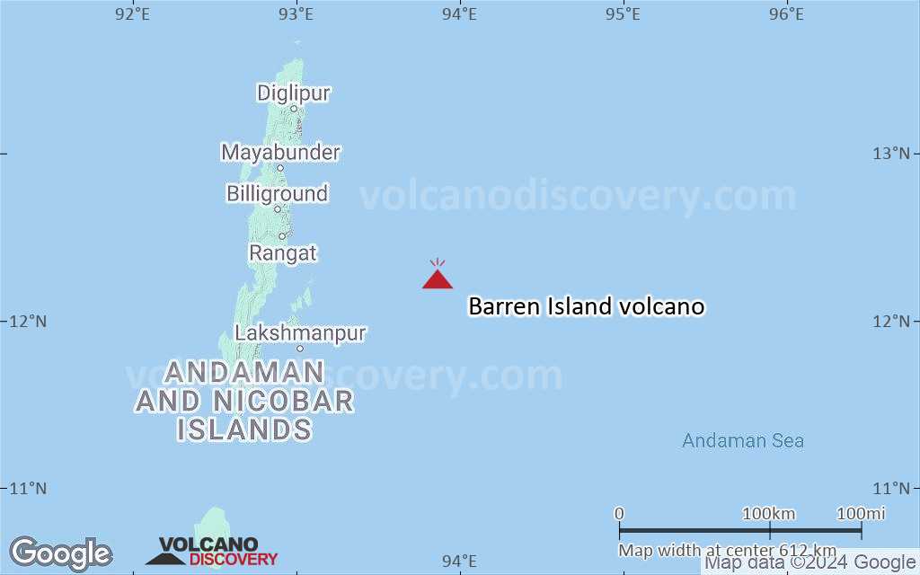
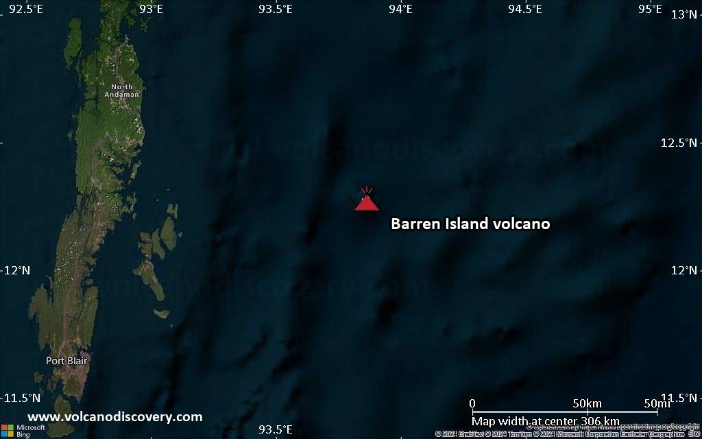
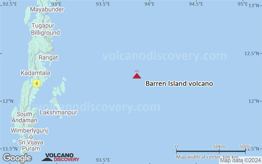
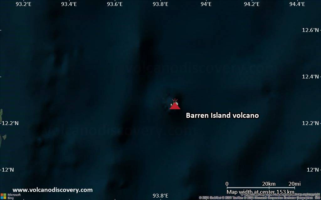
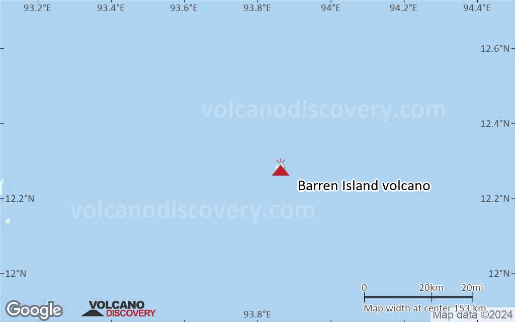
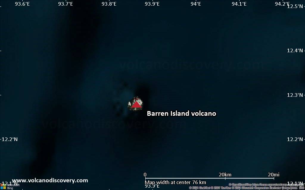
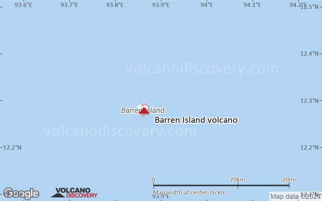
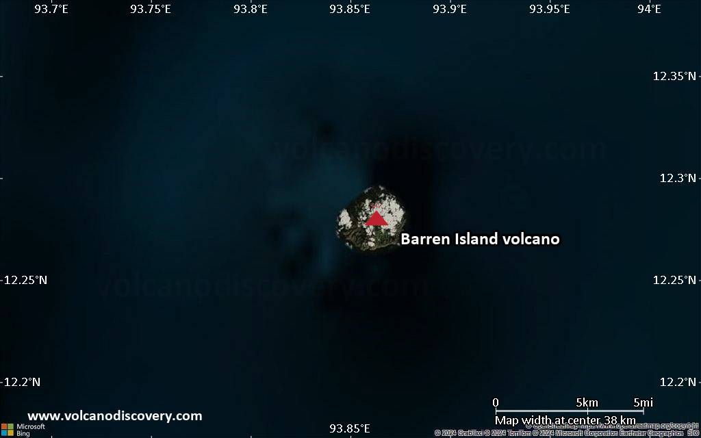
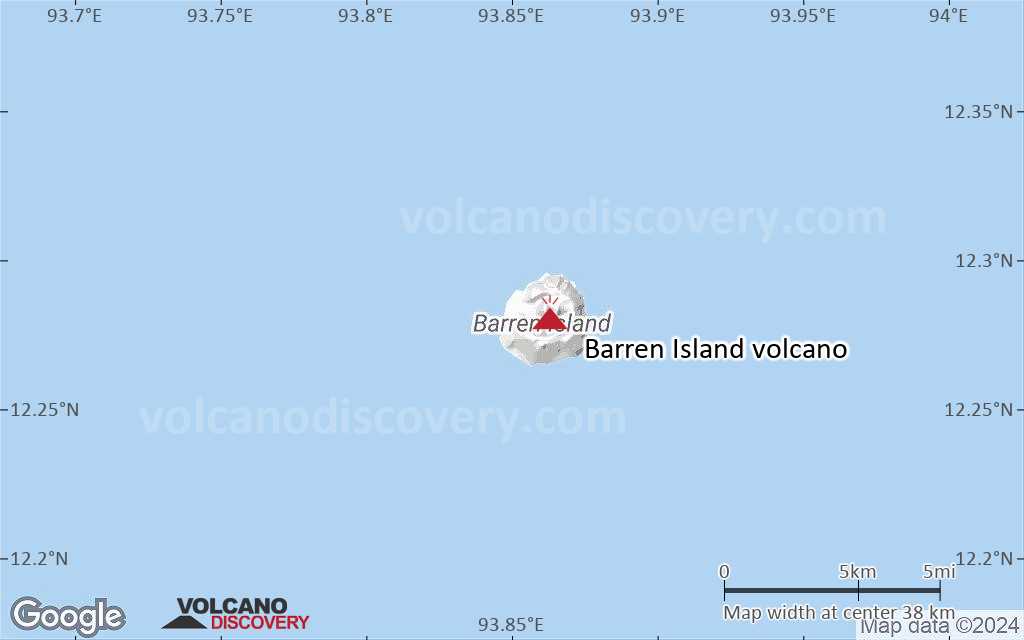
Barren Island Volcano
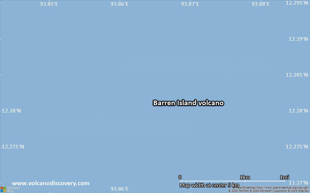
Barren Island, a possession of India in the Andaman Sea about 135 km NE of Port Blair in the Andaman Islands, is the only historically active volcano along the N-S-trending volcanic arc extending between Sumatra and Burma (Myanmar). The 354-m-high island is the emergent summit of a volcano that rises from a depth of about 2250 m.
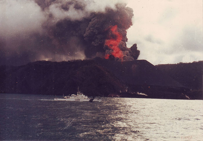
Barren Island volcano eruptions: 1787, 1789, 1795, 1803-04, 1852(?), 1991, 1994-95, 2005-2006, 2015, 2016, 2018, 2019
Latest nearby earthquakes
| Date and Time | Mag / Depth | Distance / Location | |||
|---|---|---|---|---|---|
Background
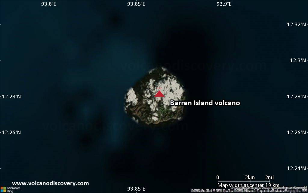
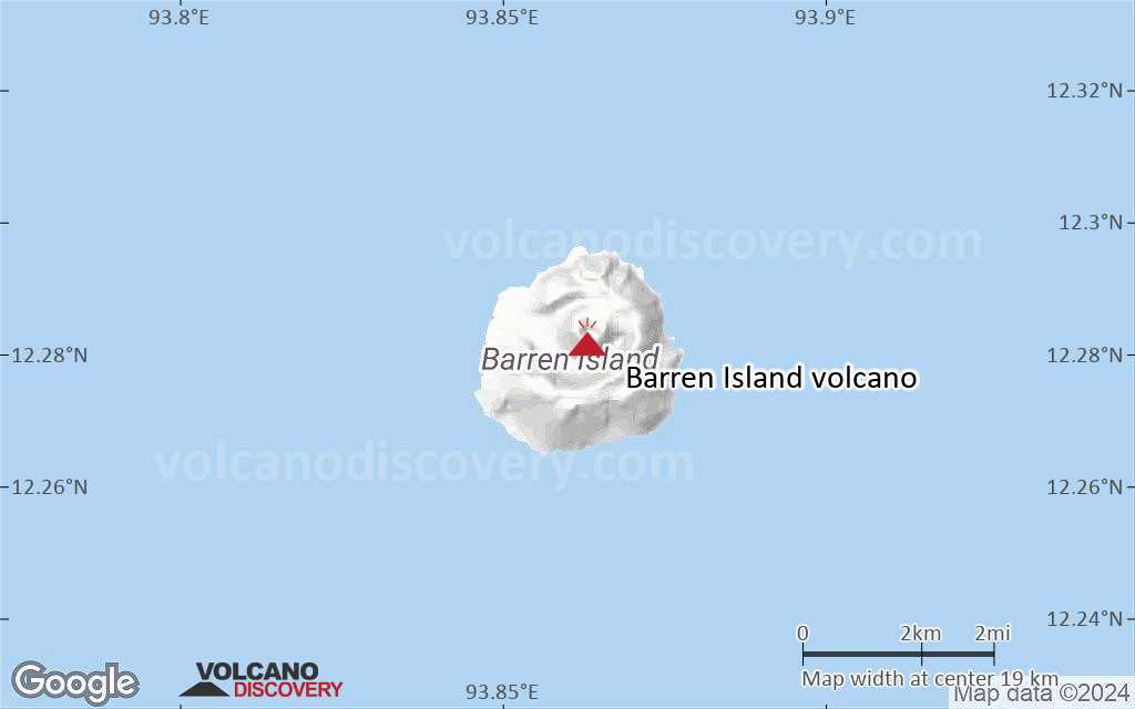
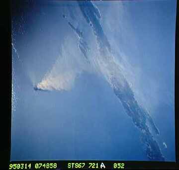
The small, uninhabited 3-km-wide island contains a roughly 2-km-wide caldera with walls 250-350 m high. The caldera, which is open to the sea on the west, was created during a major explosive eruption in the late Pleistocene that produced pyroclastic-flow and -surge deposits. The morphology of a fresh pyroclastic cone that was constructed in the center of the caldera has varied during the course of historical eruptions. Lava flows fill much of the caldera floor and have reached the sea along the western coast during eruptions in the 19th century and more recently in 1991 and 1995.---
Source: GVP, Smithsonian Institution
Significant volcanic eruptions: Barren Island volcano
Additionally, there are 3 uncertain or discredited eruptions from Barren Island volcano.
| Date | Note | VEI | Deaths | Damage | |
|---|---|---|---|---|---|
Historical obs./docs. | ? | ||||
Historical obs./docs. | 2 | ||||
?? | Uncertain Eruption Historical obs./docs. | ? | |||
Historical obs./docs. | 1 | ||||
| Main cone, summit crater Historical obs./docs. | 1 | ||||
| Main cone Historical obs./docs. | ? | ||||
| Main cone Historical obs./docs. | 2 | ||||
| Summit caldera Historical obs./docs. | 2 | ||||
| Summit caldera and N flank Historical obs./docs. | 1 | ||||
Historical obs./docs. | 2 | ||||
| Central cone summit, N, S, and SW flanks Historical obs./docs. | 2 | ||||
?? | Uncertain Eruption | 1? | |||
| Central cone summit, SW & S flanks Historical obs./docs. | 2 | ||||
| Central cone summit and NE flank Historical obs./docs. | 2 | ||||
?? | Uncertain Eruption | 2 | |||
Historical obs./docs. | 2? | ||||
Historical obs./docs. | 2 | ||||
Historical obs./docs. | 2 | ||||
Historical obs./docs. | 2 | ||||
Historical obs./docs. | 2 | ||||
| ? | |||||
Barren Island Volcano FAQ
+When was the last eruption of Barren Island volcano?
The last confirmed eruption of Barren Island occurred in 2024.
+How often does Barren Island volcano erupt?
Since 1787, Barren Island volcano has had at least 17 historically documented eruptions. This means that it erupts on average every 14 years.
Many eruptions of Barren Island have lasted more than one year. In total, the volcano has been in eruption during 28 out of 238 years until now. In other words, Barren Island has been active at least one in 8.5 years on average. Note that this value is likely an underestimate, because the known history of eruptions from Barren Island is likely incomplete, especially further back in time.
+How active is Barren Island volcano at present?
Barren Island volcano is relatively active: Since 1900, it has had 22 eruptions, and been active during 22 years out of 126 as of now. This means, Barren Island has been in eruption one in 5.7 years on average. The last eruption was in 2024 and ended 14 months ago.
+When was the largest eruption of Barren Island volcano?
The largest eruption of Barren Island volcano in historic times occurred during 2022 - 2023. It ranks as a strombolian to vulcanian eruption with a magnitude 2 on the VEI (Volcanic Explosivity Index) scale.
Latest satellite images
Barren Island Volcano Maps