


Cerro Leon Volcano
Updated: Jul 5, 2025 11:12 GMT -
Cone
Mexico, 30.23°N / -114.66°W 
Summit height: 280 m / 919 ft
Current status: (probably) extinct (0 out of 5)
[smaller] [larger]
Cerro Leon volcano eruptions: None during the past 10,000 years
Less than few million years ago (Pleistocene)
Latest nearby earthquakes
| Date and Time | Mag / Depth | Distance / Location | |||
|---|---|---|---|---|---|
| Jun 23, 10:57 am (Tijuana) | 3? 12 km | 29 km (18 mi) to the NE | Info | ||
| Sunday, June 22, 2025 GMT (2 quakes) | |||||
| Jun 22, 07:07 am (Tijuana) | 3? 6.8 km | 25 km (15 mi) to the NE | Info | ||
| Jun 21, 11:43 pm (Tijuana) | 3.2 22 km | 10.3 km (6.4 mi) to the W | Info | ||
Background
Cerro León, also known as Volcán Prieto ("Dark volcano"), is a small, roughly 280-m-high cone of early Pleistocene age (~2.5 Ma) that was constructed along the Guaymas lineament on the east coast of northern Baja California (Martin-Barajas and Weber, 2003). The eastern flank of the volcano extends into the Gulf of California. It is part of the Puertecitos Volcanic Province, within the Gulf of California Rift Basin System (Martin-Barajas and Weber, 2003; Oskin and Stock, 2003). This volcanic province is the most extensive in the region and has the longest known volcanic history. It is typically calc-alkaline and largely rhyolitic, but Cerro Leon is predominantly andesitic (Stock, 2000; Gastil et al., 1979; Martin-Barajas and Weber, 2003).---
Source: Smithsonian / GVP volcano information
Latest satellite images
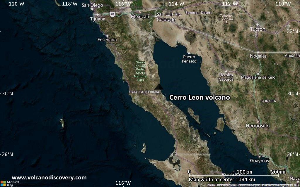
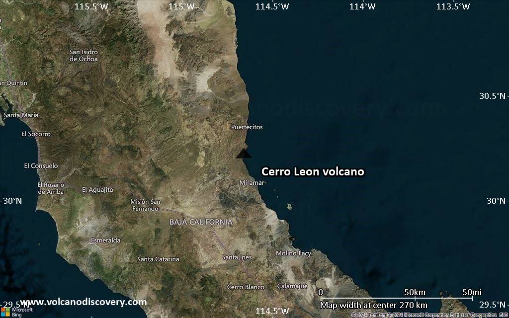
Cerro Leon Volcano Maps
Below is a selection of maps showing the location and surroundings of the volcano at various resolutions based on aerial-imagery / terrain maps. Feel free to use them for non-commercial purposes on your blog or website as long as you credit them with a link back to this page (click to copy it).

Satellite/aerial-type map of Cerro Leon volcano (world scale)

Terrain-type map of Cerro Leon volcano (world scale)

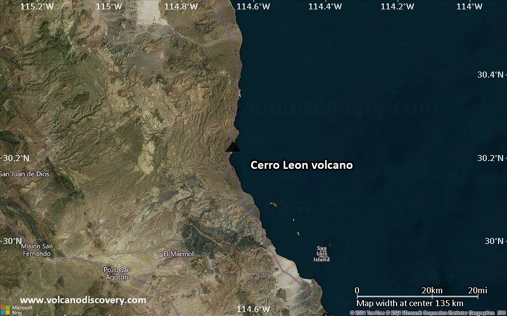
Satellite/aerial-type map of Cerro Leon volcano (region scale large)

Terrain-type map of Cerro Leon volcano (region scale large)

Satellite/aerial-type map of Cerro Leon volcano (region scale medium)

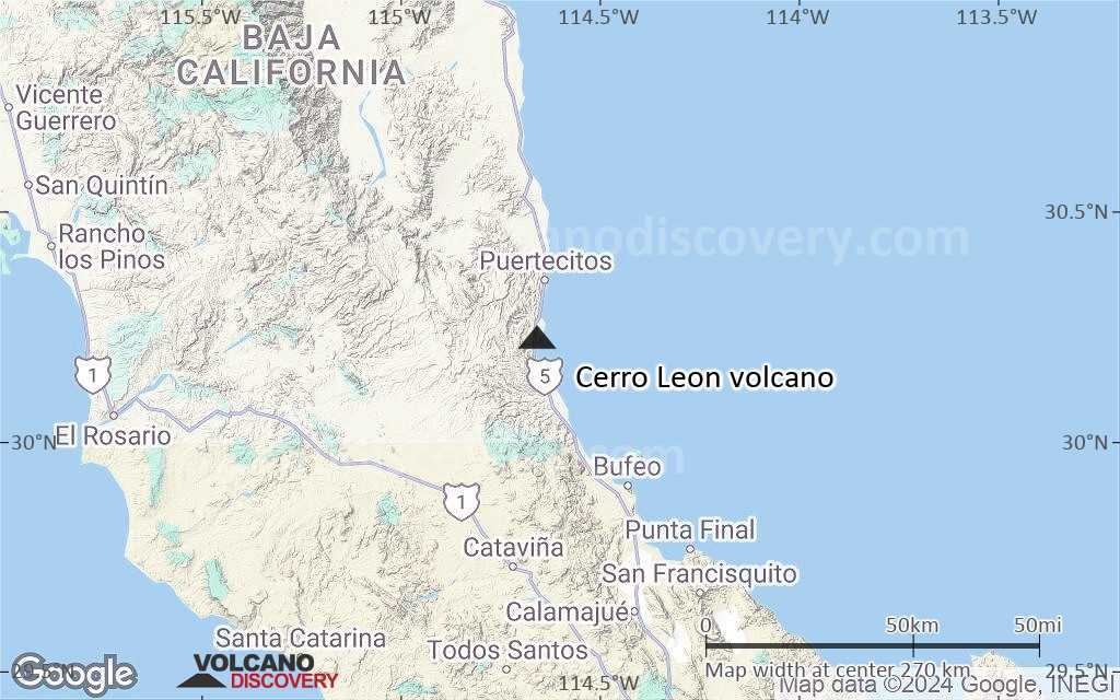
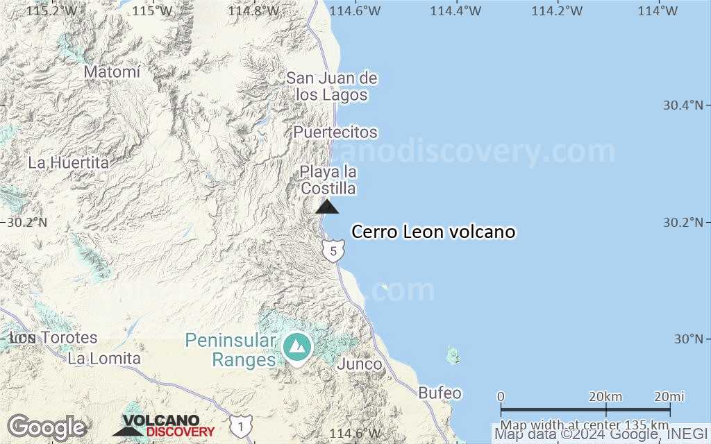
Terrain-type map of Cerro Leon volcano (region scale medium)
Satellite/aerial-type map of Cerro Leon volcano (region scale small)

Terrain-type map of Cerro Leon volcano (region scale small)

Satellite/aerial-type map of Cerro Leon volcano (local scale large)

Terrain-type map of Cerro Leon volcano (local scale large)
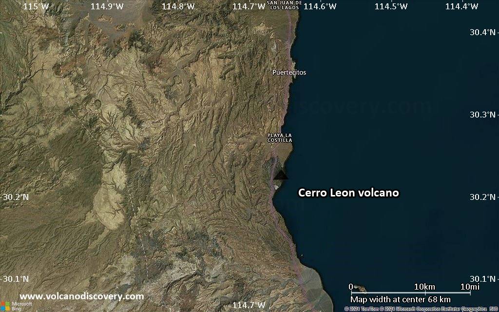
Satellite/aerial-type map of Cerro Leon volcano (local scale medium)
Terrain-type map of Cerro Leon volcano (local scale medium)
Satellite/aerial-type map of Cerro Leon volcano (local scale small)
Terrain-type map of Cerro Leon volcano (local scale small)
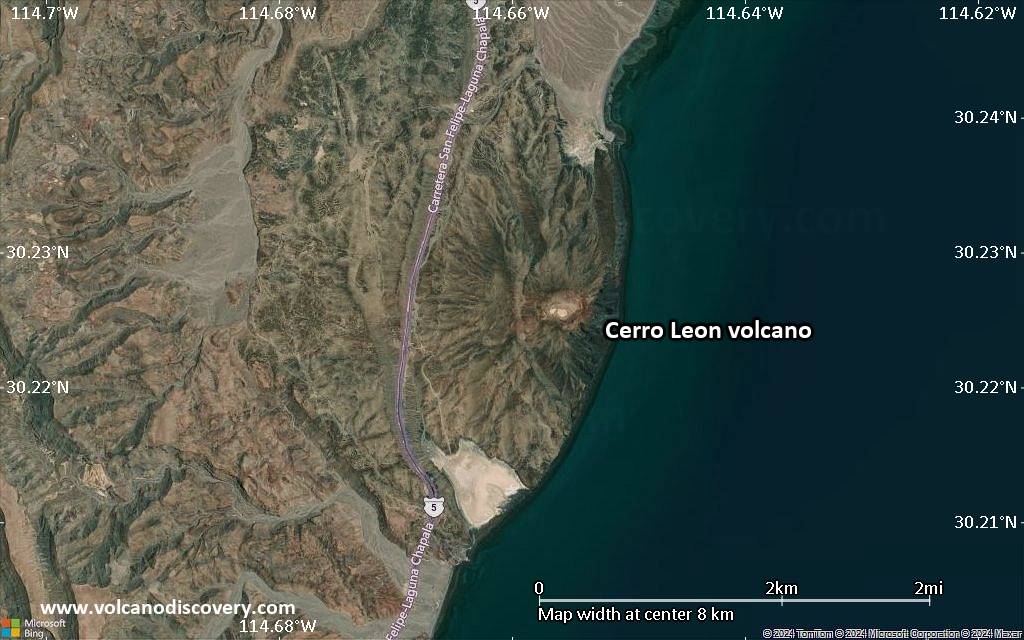
Satellite/aerial-type map of Cerro Leon volcano (scale of 10s of km)
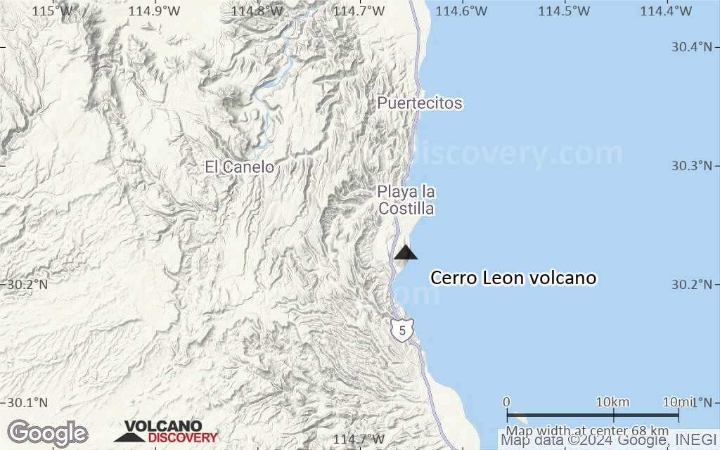
Terrain-type map of Cerro Leon volcano (scale of 10s of km)
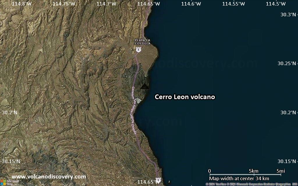
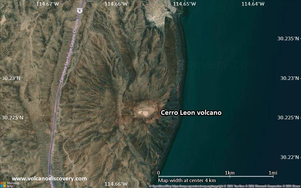
Satellite/aerial-type map of Cerro Leon volcano (scale of 20-40 km)
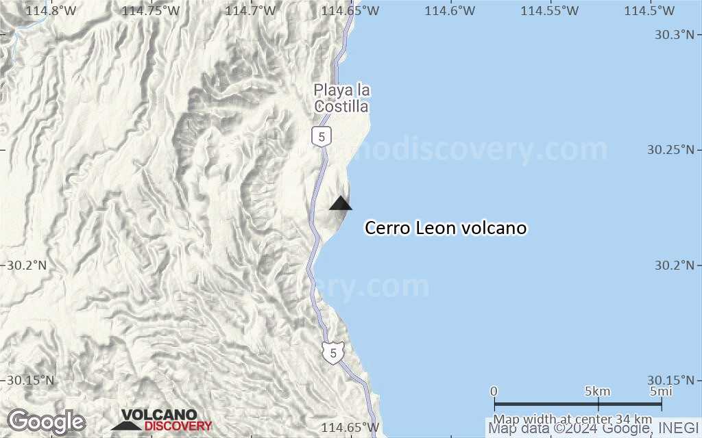
Terrain-type map of Cerro Leon volcano (scale of 20-40 km)
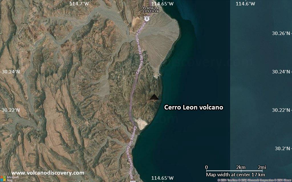
Satellite/aerial-type map of Cerro Leon volcano (scale of approx. 10-20 km)

Terrain-type map of Cerro Leon volcano (scale of approx. 10-20 km)
Satellite/aerial-type map of Cerro Leon volcano (scale of 5-10 km)
Satellite/aerial-type map of Cerro Leon volcano (scale of few kilometers)


