Kao Volcano
Updated: Aug 9, 2025 02:37 GMT -
Stratovolcano
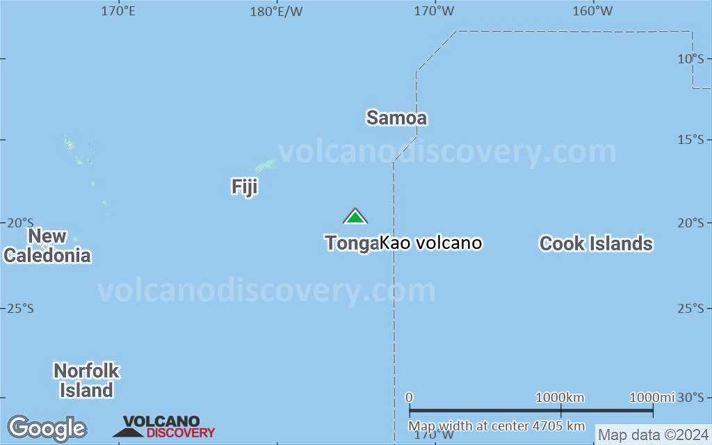
Tonga, Tonga Islands, -19.67°S / -175.03°W 
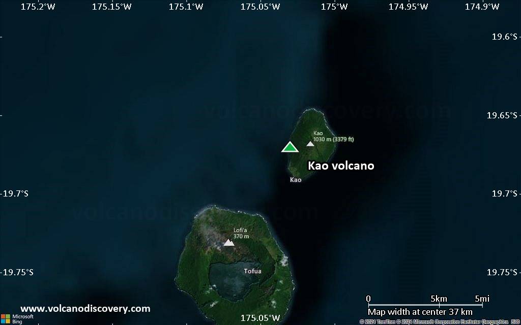
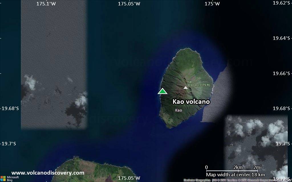
Summit height: 1030 m / 3,379 ft
Current status: normal or dormant (1 out of 5)
[smaller] [larger]
Kao volcano eruptions: unknown, no recent eruptions
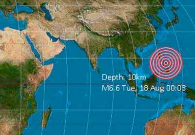
Latest nearby earthquakes
| Date and Time | Mag / Depth | Distance / Location | |||
|---|---|---|---|---|---|
Background
The highest and most spectacular volcano of the Tonga Islands, symmetrical Kao volcano rises steeply to 1030 m about 6 km north of Tofua Island. Kao is elongated in a NNE-SSW direction and, with the exception of a small flat area on the SSW coast, rises at angles exceeding 35 degrees to the summit, which has a series of small coalescing craters. The lower flanks of the basaltic-andesite volcano are densely jungled, but the upper slopes are almost vegetation free. No historical eruptions are known from Kao, and fresh-appearing lava flows are not seen, although the absence of sufficient time for erosion to produce deep gullies or high sea cliffs suggests a very recent origin.---
Smithsonian / GVP volcano information
Kao Volcano Photos
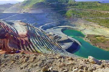
The large kaoline and bentonite quarry on Milos (Photo: Tom Pfeiffer)
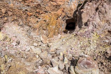
Kaoline which had formed as result of fumarolic and hydrothermal alteration was extracted from a small mine at the Kalamo lava dome. (Photo: Tom Pfeiffer)
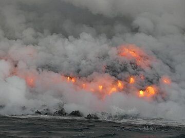
Day 5: A song of fire and water... Lava pouring into the ocean wants to create new land but is immediately attacked by the strong ocean waves. The never ending battle bet...
Significant volcanic eruptions: Kao volcano
In the past 10,000 years, Kao has had only one confirmed historic eruption in 1847.
The table below lists all known eruptions (date in bold face) of Kao volcano in historic times and during the past 10,000 years. Updates on the most recent volcanic activity of Kao can be found on the news page of Kao volcano.
| Date | Note | VEI | Deaths | Damage | |
|---|---|---|---|---|---|
Historical obs./docs. | 2 | ||||
Remark:
Our list of volcanic eruptions closely follows the database of eruptions of the Smithsonian's Global Volcanism Project (GVP), the internationally most recognized data source for volcanic eruptions, but also includes significant eruptive episodes or related volcano events. "Volcanic eruptions" are usually to be understood as sequences of individual eruptive episodes that can follow each other, or even overlap (if several vents are involved), and can last many years, decades or even longer. For example, the current activity of Stromboli volcano is understood as a single eruption that has been ongoing since 1934.
Sources: NOAA National Centers for Environmental Information (NCEI), Global Significant Volcanic Eruptions Database. doi:10.7289/V5TD9V7K | Global Volcanism Project / Smithsonian Institution
Kao Volcano FAQ
+When was the last eruption of Kao volcano?
The last confirmed eruption of Kao occurred in 1847.
+How often does Kao volcano erupt?
Since 1847, Kao volcano has had at least 1 historically documented eruptions. This means that it erupts on average every 178 years.
+When was the largest eruption of Kao volcano?
The largest eruption of Kao volcano in historic times occurred in 1847. It ranks as a strombolian to vulcanian eruption with a magnitude 2 on the VEI (Volcanic Explosivity Index) scale.
Latest satellite images
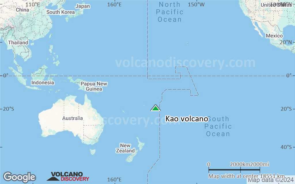
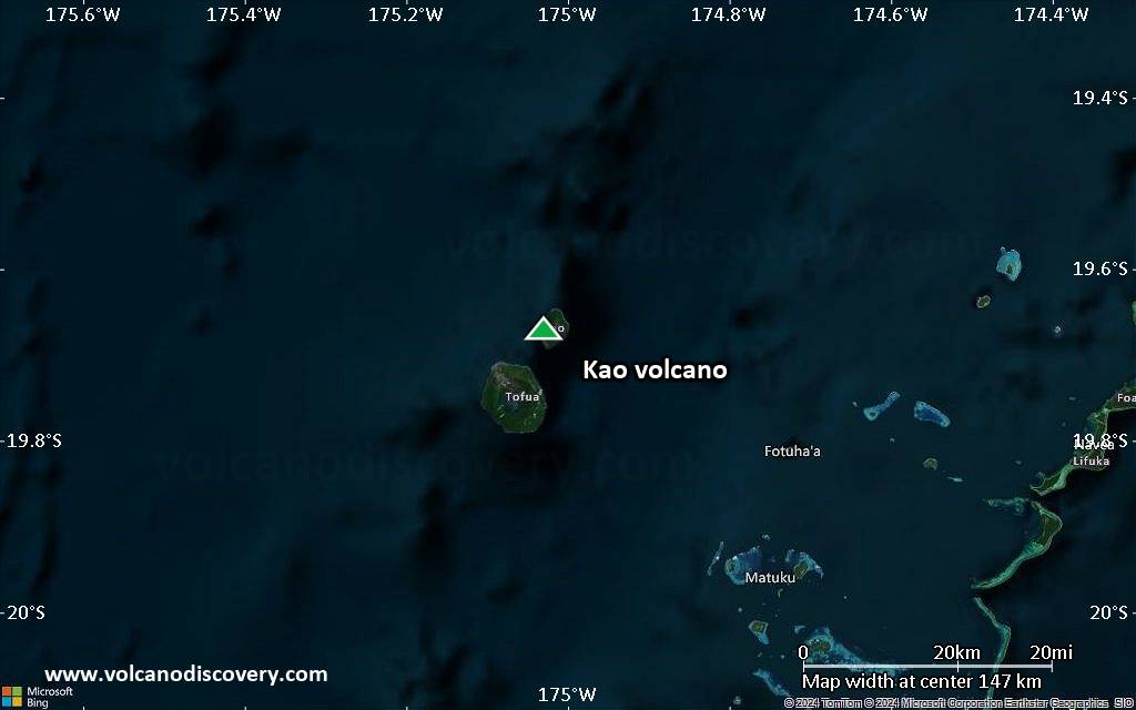
Kao Volcano Maps
Below is a selection of maps showing the location and surroundings of the volcano at various resolutions based on aerial-imagery / terrain maps. Feel free to use them for non-commercial purposes on your blog or website as long as you credit them with a link back to this page (click to copy it).

Satellite/aerial-type map of Kao volcano (world scale)
Terrain-type map of Kao volcano (world scale)

Satellite/aerial-type map of Kao volcano (region scale large)
Terrain-type map of Kao volcano (region scale large)

Satellite/aerial-type map of Kao volcano (region scale medium)

Terrain-type map of Kao volcano (region scale medium)

Satellite/aerial-type map of Kao volcano (region scale small)

Terrain-type map of Kao volcano (region scale small)

Satellite/aerial-type map of Kao volcano (local scale large)

Terrain-type map of Kao volcano (local scale large)

Satellite/aerial-type map of Kao volcano (local scale medium)

Terrain-type map of Kao volcano (local scale medium)
Satellite/aerial-type map of Kao volcano (local scale small)

Terrain-type map of Kao volcano (local scale small)

Satellite/aerial-type map of Kao volcano (scale of 10s of km)

Terrain-type map of Kao volcano (scale of 10s of km)
Satellite/aerial-type map of Kao volcano (scale of 20-40 km)

Terrain-type map of Kao volcano (scale of 20-40 km)
Satellite/aerial-type map of Kao volcano (scale of approx. 10-20 km)

Terrain-type map of Kao volcano (scale of approx. 10-20 km)

Satellite/aerial-type map of Kao volcano (scale of 5-10 km)

Satellite/aerial-type map of Kao volcano (scale of few kilometers)