Tanga Volcano
Updated: Apr 27, 2024 20:46 GMT -
stratovolcano / caldera 472 m / 1,549 ft
New Ireland Province (Papua New Guinea), -3.5°S / 153.22°E
Current status: (probably) extinct (0 out of 5)
New Ireland Province (Papua New Guinea), -3.5°S / 153.22°E
Current status: (probably) extinct (0 out of 5)
Tanga volcano is a mostly submerged stratovolcano and caldera forming the Tanga islands, located 44 km from New Ireland.
The islands belonging to the caldera rim consist of Lif (283 m high), Tefa (155 m), southern Malendok (472 m). The smaller islands Bitlit and Bitbok are post-caldera lava domes in the centre of the caldera.
It is unknown if Tanga volcano is still active. A small hot spring on Malendok Islands marks the only current thermal activity.
[smaller] [larger]
Tanga volcano eruptions: more than 11,700 years ago
Latest nearby earthquakes
| Time | Mag. / Depth | Distance / Location | |||
Tanga Volcano Photos
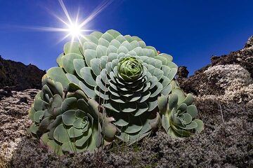
A typical water containing plant on the lava field of Tanganasoga volcano on El Hierro island. (Photo: Tobias Schorr)
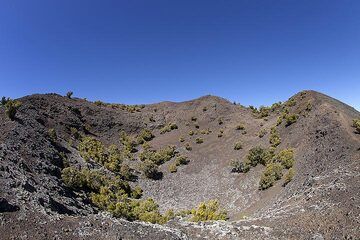
The western crater of Tanganasoga volcano on El Hierro island. (Photo: Tobias Schorr)
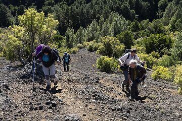
The group is ascending onto the craters of Tanganasoga volcano on El Hierro island. This volcano could erupt again and in the last years many earthquakes were recorded ne...
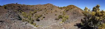
Panoramic view of the Tanganasoga crater on El Hierro island. (Photo: Tobias Schorr)
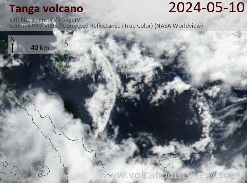
Latest satellite images